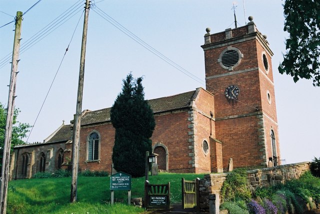
Quatt

Settlement in Shropshire

England

Quatt

Waterworks bridge, Hampton Loade The pipes also serve to support the private road linking the water abstraction plant with the reservoirs on the other side of the river
Waterworks bridge, Hampton Loade Credit: David Stowell

The requested URL returned error: 429 Too Many Requests

If you have any feedback on the listing, please let us know in the comments section below.
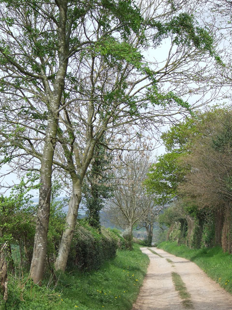
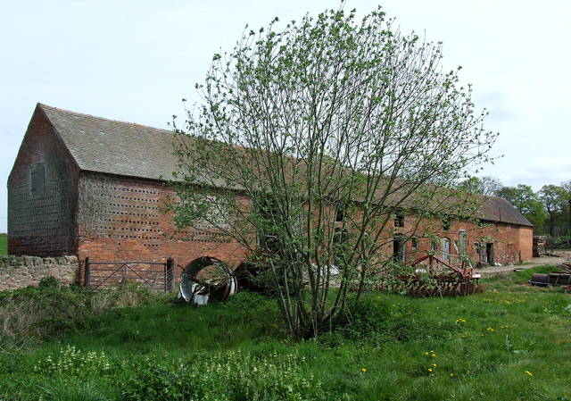
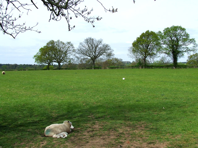
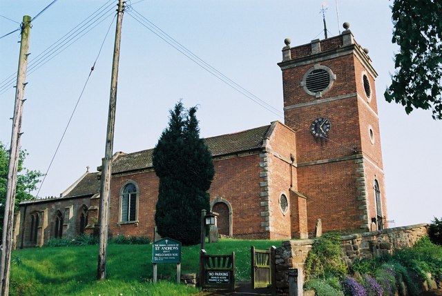
Quatt Images

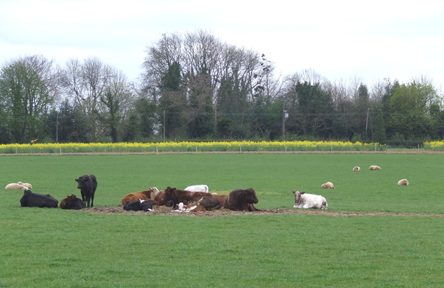
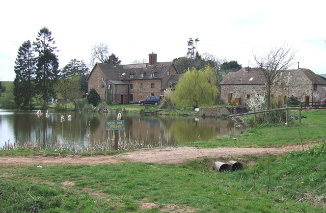
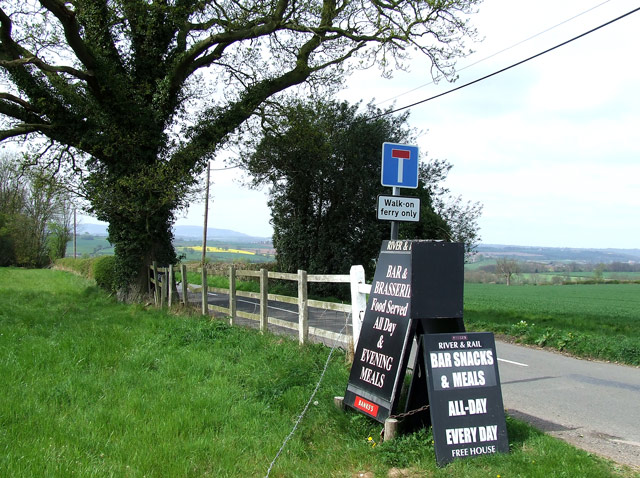
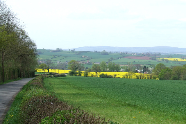
Images are sourced within 2km of 52.490328/-2.359475 or Grid Reference SO7588. Thanks to Geograph Open Source API. All images are credited.

Waterworks bridge, Hampton Loade The pipes also serve to support the private road linking the water abstraction plant with the reservoirs on the other side of the river
Waterworks bridge, Hampton Loade
The pipes also serve to support the private road linking the water abstraction plant with the reservoirs on the other side of the river
Hampton Loade Ferry This environmentally sound ferry uses the natural flow of the river to move itself across the Severn.  It is tethered to a pulley block that runs on a cable suspended across the river, just visible in the upper left of the picture.
Hampton Loade Ferry
This environmentally sound ferry uses the natural flow of the river to move itself across the Severn. It is tethered to a pulley block that runs on a cable suspended across the river, just visible in the upper left of the picture.
Anthony Twentyman 1978 He was a local artist who has several works in the house and grounds at Dudmaston.
Anthony Twentyman 1978
He was a local artist who has several works in the house and grounds at Dudmaston.
A building in Dudmaston grounds There are extensive walks - notably around a rather old system of dams for landscaping purposes.
A building in Dudmaston grounds
There are extensive walks - notably around a rather old system of dams for landscaping purposes.
Dudmaston Hall View across the lake to the boathouse and Dudmaston Hall.
Dudmaston Hall
View across the lake to the boathouse and Dudmaston Hall.
Quatt - St Andrew's Church Dating back to Saxon times the church was restored in 1763. The west gallery and organ date from 1950s.
Quatt - St Andrew's Church
Dating back to Saxon times the church was restored in 1763. The west gallery and organ date from 1950s.
Station in Bloom, Hampton Loade This pleasant photograph was taken from a seat on Hampton Loade station whilst waiting for the next steam train to arrive
Station in Bloom, Hampton Loade
This pleasant photograph was taken from a seat on Hampton Loade station whilst waiting for the next steam train to arrive
River severn ducks Ducks by the river severn at Hampton Loade.
River severn ducks
Ducks by the river severn at Hampton Loade.
Old winch for the Hampton Loade ferry
Cattle and sheep north of Birdsgreen in Shropshire Cows and calves, ewes and lambs; contentment on a sunny spring day near Coton Farm.
Cattle and sheep north of Birdsgreen in Shropshire
Cows and calves, ewes and lambs; contentment on a sunny spring day near Coton Farm.
Kingsnordley Farm with fishpool, Shropshire Diversification in this square, and the one to the north, includes a string of around a dozen medium sized pools dedicated to angling.
Kingsnordley Farm with fishpool, Shropshire
Diversification in this square, and the one to the north, includes a string of around a dozen medium sized pools dedicated to angling.
The lane to the ferry near Hampton Loade in Shropshire The ferry carries pedestrians and cyclists across the River Severn at Hampton Loade, about a mile ahead. 

Apparently the road sign is not clear or obvious enough for some drivers of lower intelligence, and some additional help has now become necessary. <a href="https://www.geograph.org.uk/photo/574832">SO7686 : Sign of the times</a>

Update December 2023: The ferry ceased operation in 2016. The River and Rail Country Inn has been reported as closed (from circa late 2022).
The lane to the ferry near Hampton Loade in Shropshire
The ferry carries pedestrians and cyclists across the River Severn at Hampton Loade, about a mile ahead. Apparently the road sign is not clear or obvious enough for some drivers of lower intelligence, and some additional help has now become necessary. SO7686 : Sign of the times Update December 2023: The ferry ceased operation in 2016. The River and Rail Country Inn has been reported as closed (from circa late 2022).
Lane and crop fields near Hampton Loade in Shropshire The lane is a cul-de-sac leading to The River and Rail Country Inn and Hampton Loade Ferry (pedestrians and cyclists only) and SVR station (near another pub). Cereals and rape dominate fields not set aside for grazing.
Lane and crop fields near Hampton Loade in Shropshire
The lane is a cul-de-sac leading to The River and Rail Country Inn and Hampton Loade Ferry (pedestrians and cyclists only) and SVR station (near another pub). Cereals and rape dominate fields not set aside for grazing.
Byway near Quatt in Shropshire Looking north-north-west towards Quatt, this unsurfaced track is classified as a byway open to all traffic. It runs about two miles through the fields from Birdsgreen.
Byway near Quatt in Shropshire
Looking north-north-west towards Quatt, this unsurfaced track is classified as a byway open to all traffic. It runs about two miles through the fields from Birdsgreen.
Straw Bales and Field Boundary, near Quatt, Shropshire Grass crops dominate in this grid square.
Straw Bales and Field Boundary, near Quatt, Shropshire
Grass crops dominate in this grid square.
Crop fields near Quatt in Shropshire Looking north-west towards Quatt, Cereals and rape dominate the fields round here, with some ground set aside for grazing. The A442 is off to the right of the hedge.
Crop fields near Quatt in Shropshire
Looking north-west towards Quatt, Cereals and rape dominate the fields round here, with some ground set aside for grazing. The A442 is off to the right of the hedge.
Old barn in Wooton, Shropshire Not converted yet, but are its days numbered?

December 2023 update: Yes they were! It has been converted into two residences (circa 2016-2017) called Gable End Barn and Meadow Barn. Purchase cost in 2017? £1,050,000 for the two!
A third newbuild "barn" is now off to the right, which was £630,000.
Old barn in Wooton, Shropshire
Not converted yet, but are its days numbered? December 2023 update: Yes they were! It has been converted into two residences (circa 2016-2017) called Gable End Barn and Meadow Barn. Purchase cost in 2017? £1,050,000 for the two! A third newbuild "barn" is now off to the right, which was £630,000.
Grazing, Wooton, Shropshire
Show me another place!

Quatt is located at Grid Ref: SO7588 (Lat: 52.490328, Lng: -2.359475)

Unitary Authority: Shropshire

Police Authority: West Mercia

What 3 Words

///justifies.dockers.undertook. Near Alveley, Shropshire

Nearby Locations

Quatt Quatt Malvern

Related Wikis

Quatt

Quatt is a small village in Shropshire, England in the Severn Valley. The civil parish, formally known as Quatt Malvern, has a population of 219 according...
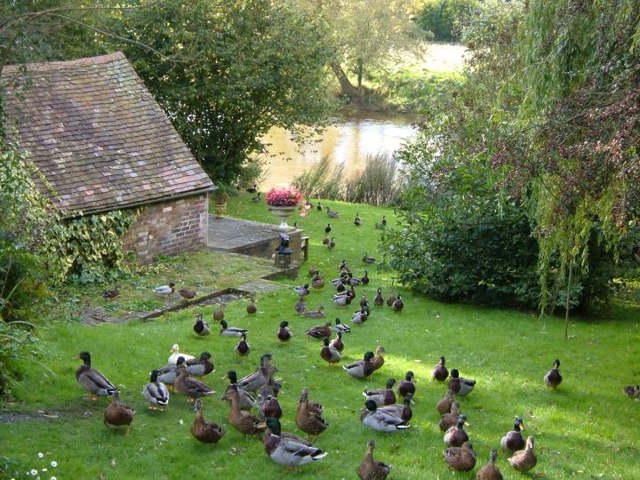
Dudmaston Hall

Dudmaston Hall is a 17th-century country house in the care of the National Trust in the Severn Valley, Shropshire, England. Dudmaston Hall is located near...

Kingsnordley

Kingsnordley is a manor in the northern part of the parish of Alveley. This part of the parish has no nucleated village, but there is a Church of England...
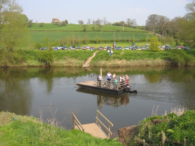
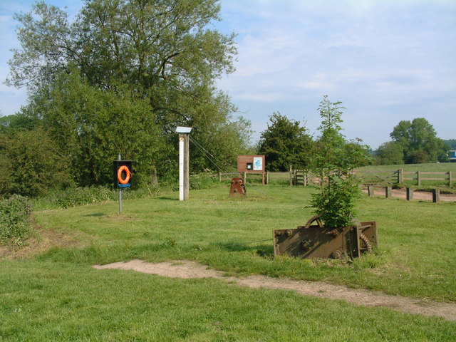
Hampton Loade Ferry

Hampton Loade Ferry was a pedestrian cable ferry linking the villages of Hampton Loade and Hampton across the River Severn in the English county of Shropshire...

Nearby Amenities

Located within 500m of 52.490328,-2.359475
Bus Stop
Quatt
Bench: yes
Bus: yes
Naptan AtcoCode: 2000G935100
Naptan Bearing: NW
Naptan CommonName: Quatt
Naptan Indicator: Adj
Naptan Landmark: Village
Naptan NaptanCode: wocdmdmg
Naptan Street: Bridgenorth Road A442
Naptan Verified: no
Public Transport: platform
Shelter: yes
Source: naptan_import
Lat/Long: 52.4912867/-2.3619557
Quatt
Alt Name: Quatt Malvern
Place: village
Source: OS 1:25k
Wikidata: Q3877694
Wikipedia: en:Quatt
Lat/Long: 52.4911694/-2.3609673
Lieutenant Thomas Wilkinson
Historic: memorial
Memorial: war_memorial
Lat/Long: 52.4912447/-2.3616695
Cafe
Quatt Farm Shop
Addr City: Quatt
Addr Country: GB
Addr Housename: Quatt Garage
Addr Postcode: WV15 6QN
Fhrs Authority: Shropshire
Fhrs Id: 851256
Fhrs Local Authority Id: 15/00465/COMM
Shop: deli
Website: http://www.quattfarmshop.co.uk
Lat/Long: 52.4891509/-2.3606932
Barrier: kissing_gate
Lat/Long: 52.4872539/-2.361251
Barrier: kissing_gate
Lat/Long: 52.4876679/-2.3602881
Barrier: kissing_gate
Lat/Long: 52.4890048/-2.360028
Post Box
Post Box Type: lamp
Ref: WV15 45
Royal Cypher: EIIR
Royal Cypher Wikidata: Q33102113
Lat/Long: 52.4892799/-2.3607187
Bench
Backrest: yes
Lat/Long: 52.4912022/-2.3616359
Historic: memorial
Memorial: war_memorial
Lat/Long: 52.4913957/-2.3605671
Telephone
HE Ref: 1254270
Booth: K6
Covered: booth
Listed Status: Grade II
Phone: +44 1746 780201
Lat/Long: 52.4913425/-2.3615999
Information: board
Tourism: information
Lat/Long: 52.4912608/-2.3616348
Shelter
Shelter Type: public_transport
Lat/Long: 52.4908191/-2.3617474
Marker: aerial
Operator: CLH
Operator Old: GPSS
Ref: CP 2258
Ref GPSS: 18119
Utility: oil
Lat/Long: 52.4860054/-2.3582216
Marker: post
Operator: CLH
Operator Old: GPSS
Ref GPSS: 18120
Utility: oil
Lat/Long: 52.4859592/-2.3581827
Marker: pedestal
Operator: CLH
Operator Old: GPSS
Ref: MP 1773
Ref GPSS: 18119
Utility: oil
Lat/Long: 52.4904119/-2.3640803
Marker: post
Operator: CLH
Operator Old: GPSS
Ref: CP 2251
Utility: oil
Lat/Long: 52.488506/-2.3620659
Marker: aerial
Operator: CLH
Operator Old: GPSS
Utility: oil
Lat/Long: 52.4875416/-2.3604728
The data included in this document is from www.openstreetmap.org. The data is made available under ODbL.

Have you been to Quatt?

Leave your review of Quatt below (or comments, questions and feedback).