Quarriers Village

Settlement in Renfrewshire

Scotland

Quarriers Village

Entering Inverclyde on NCR 75 As noted in <a href="https://www.geograph.org.uk/photo/3527703">NS3667 : National Cycle Network Route 75</a>, National Cycle Route 75 crosses the Renfrew/Inverclyde boundary at this point. A sign now welcomes westbound cyclists to Inverclyde - at least careful ones.
Entering Inverclyde on NCR 75 Credit: Alec MacKinnon

Quarriers Village is a small village located in the county of Renfrewshire, Scotland. Situated approximately 17 miles west of Glasgow, the village is nestled within the picturesque countryside, offering a peaceful and idyllic setting for its residents.

Originally established in the late 19th century as a philanthropic initiative by William Quarrier, a social reformer, the village was intended to provide a safe and nurturing environment for orphaned and vulnerable children. Over the years, it has evolved into a close-knit community that continues to uphold the values of compassion and support for those in need.

The architecture of Quarriers Village is characterized by its distinctive red sandstone buildings, which were designed by renowned Scottish architect Sir John James Burnet. Many of these buildings have been well-preserved, contributing to the village's unique charm and historical significance.

The village offers a range of amenities and facilities for its residents, including a primary school, a community center, and various green spaces for recreational activities. Additionally, there is a local shop and a café, providing convenience and opportunities for social interaction within the community.

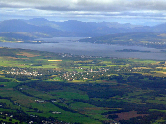
Quarriers Village is surrounded by beautiful countryside, making it an ideal location for nature enthusiasts and outdoor activities. The nearby Clyde Muirshiel Regional Park offers ample opportunities for hiking, cycling, and wildlife spotting.

In summary, Quarriers Village is a historical and picturesque village in Renfrewshire, Scotland, known for its philanthropic origins, well-preserved architecture, and close-knit community spirit.

If you have any feedback on the listing, please let us know in the comments section below.

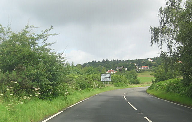
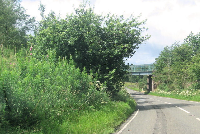
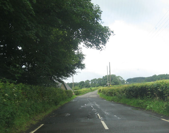
Quarriers Village Images

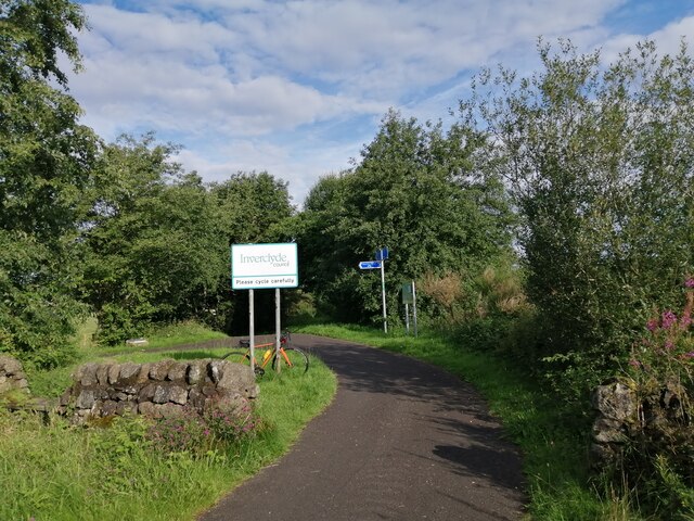
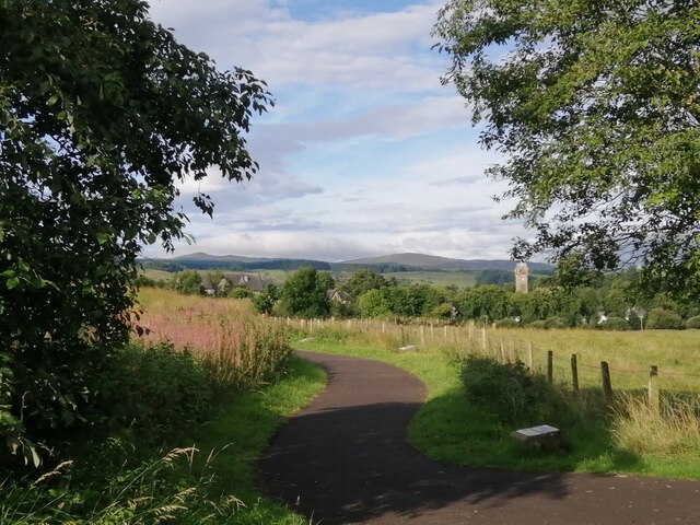
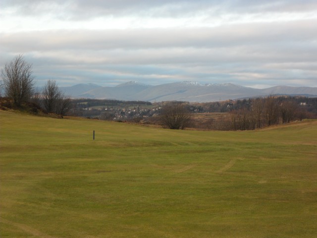
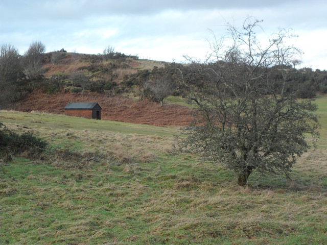
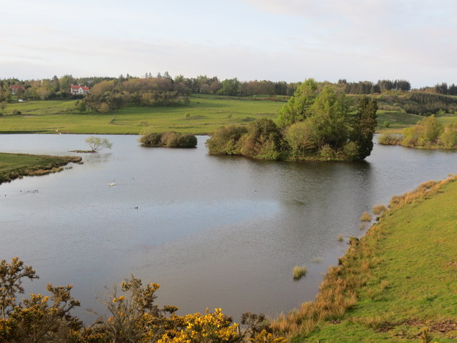
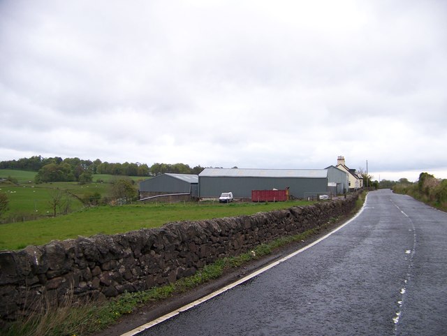
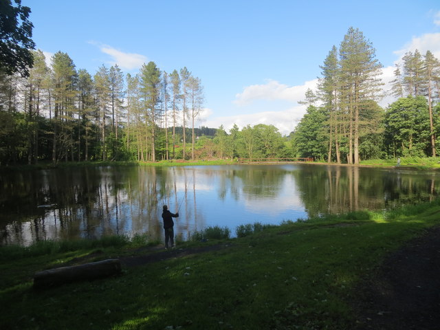
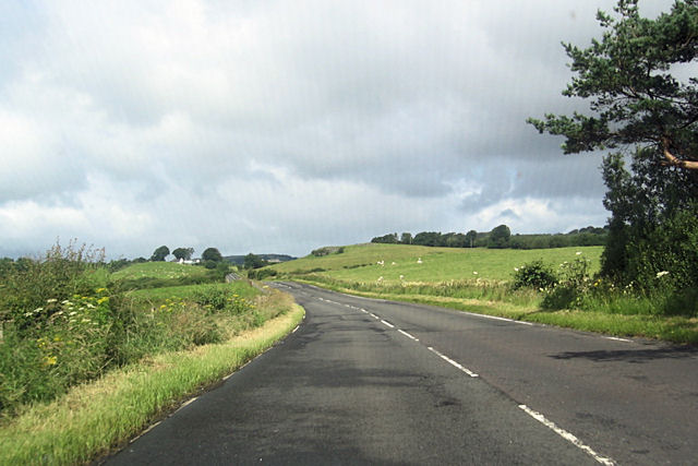
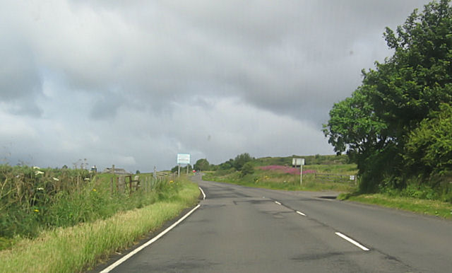
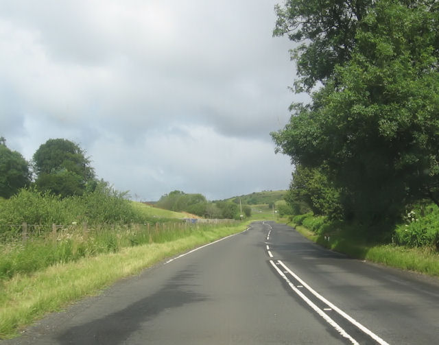
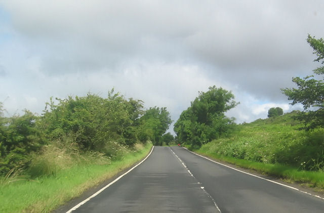
Images are sourced within 2km of 55.867387/-4.6206064 or Grid Reference NS3666. Thanks to Geograph Open Source API. All images are credited.

Entering Inverclyde on NCR 75 As noted in <a href="https://www.geograph.org.uk/photo/3527703">NS3667 : National Cycle Network Route 75</a>, National Cycle Route 75 crosses the Renfrew/Inverclyde boundary at this point. A sign now welcomes westbound cyclists to Inverclyde - at least careful ones.
Entering Inverclyde on NCR 75
As noted in NS3667 : National Cycle Network Route 75, National Cycle Route 75 crosses the Renfrew/Inverclyde boundary at this point. A sign now welcomes westbound cyclists to Inverclyde - at least careful ones.
Path to Quarriers Village This short path leads from National Cycle Route 75 to Quarriers Village.
Path to Quarriers Village
This short path leads from National Cycle Route 75 to Quarriers Village.
Kilmacolm and the Firth of Clyde from the air The former Princes Pier railway line can be seen curving through the Gryfe Valley towards Kilmacolm. Port Glasgow is visible on the south bank of the Clyde, Helensburgh on the north, beyond Ardmore Peninsula. The Gareloch and the Arrochar Alps provide a dramatic backdrop.
Kilmacolm and the Firth of Clyde from the air
The former Princes Pier railway line can be seen curving through the Gryfe Valley towards Kilmacolm. Port Glasgow is visible on the south bank of the Clyde, Helensburgh on the north, beyond Ardmore Peninsula. The Gareloch and the Arrochar Alps provide a dramatic backdrop.
Ranfurly Castle Golf Course With a view to Kilmacolm in the near distance, and in the far distance a stunning view of the Arrochar Alps.
Ranfurly Castle Golf Course
With a view to Kilmacolm in the near distance, and in the far distance a stunning view of the Arrochar Alps.
Small hut in the shadow of Torr Hill The trig point marking the 164m summit can also be seen.
Small hut in the shadow of Torr Hill
The trig point marking the 164m summit can also be seen.
Knapps Loch Kilmacolm
Threeply Farm near Bridge of Weir
Duchal Mains Farm
Duchal Mains Farm
Fishing pond in Milton Wood Kilmacolm
A761 near Fodston
A761 near Fodston
Barlogan Farm entrance from A761
Bend south of Barlogan Farm
A761 north of Craigends
B788 junction from A761
Old railway bridge on B788
B788 passing the lodge near Milton Bridge
B786 at Stepends Cottages
B786 near Duchal Mains
Show me another place!

Quarriers Village is located at Grid Ref: NS3666 (Lat: 55.867387, Lng: -4.6206064)

Unitary Authority: Inverclyde

Police Authority: Renfrewshire and Inverclyde

What 3 Words

///shoulders.refilled.eating. Near Bridge of Weir, Renfrewshire

Related Wikis

Quarrier's Village

Quarrier's Village or Quarriers Village is a small settlement in the civil parish of Kilmacolm in Inverclyde council area and the historic county of Renfrewshire...

Duchal House

Duchal House is an 18th-century mansion and estate near Kilmacolm, Scotland. It is located in Inverclyde, in the former county of Renfrewshire. Duchal...

Gryffe Castle

Gryffe Castle was a castle existing in 1474, probably about 0.5 miles (0.80 km) north of Bridge of Weir, Renfrewshire, Scotland.The present Gryffe Castle...

Windy Hill, Kilmacolm

Windy Hill or Windyhill is a house designed by Charles Rennie Mackintosh and furnished by him and his wife, Margaret Macdonald, in Kilmacolm, Scotland...

Nearby Amenities

Located within 500m of 55.867387,-4.6206064
Quarriers Village
Place: village
Wikidata: Q3927088
Wikipedia: en:Quarrier's Village
Lat/Long: 55.8672376/-4.6196308
Recycling
Recycling Type: container
Lat/Long: 55.8666983/-4.6155846
Power: pole
Lat/Long: 55.8692851/-4.6270247
Power: pole
Lat/Long: 55.869949/-4.6257727
Power: pole
Lat/Long: 55.8701582/-4.6247769
Power: pole
Lat/Long: 55.8703675/-4.6237728
Power: pole
Lat/Long: 55.8705533/-4.6228624
Power: pole
Lat/Long: 55.8710617/-4.6207355
Power: pole
Lat/Long: 55.8708128/-4.6194543
Power: pole
Lat/Long: 55.8705673/-4.6181898
Power: pole
Lat/Long: 55.8700928/-4.6172295
Power: pole
Lat/Long: 55.8697585/-4.6161025
Power: pole
Lat/Long: 55.8694382/-4.6150296
Power: pole
Lat/Long: 55.869111/-4.6139193
Power: pole
Lat/Long: 55.8685078/-4.6138901
Power: pole
Lat/Long: 55.8711751/-4.6180836
The data included in this document is from www.openstreetmap.org. The data is made available under ODbL.

Have you been to Quarriers Village?

Leave your review of Quarriers Village below (or comments, questions and feedback).