Bishopstoke
Settlement in Hampshire Eastleigh
England
Bishopstoke
Bishopstoke is a small village situated in the county of Hampshire, England. It is located approximately three miles east of Eastleigh and seven miles north of Southampton, making it conveniently positioned within close proximity to these larger towns.
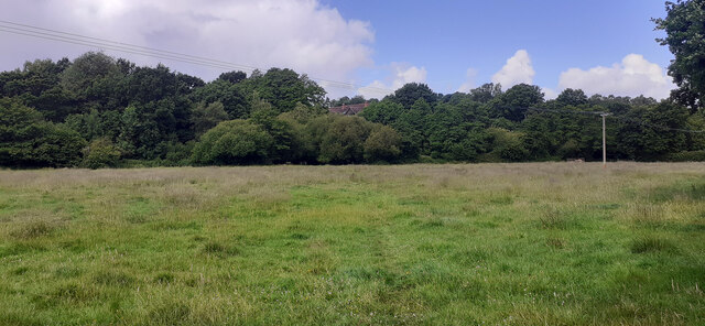
The village is surrounded by picturesque countryside, offering residents and visitors alike a tranquil and scenic environment. Bishopstoke benefits from excellent transport links, with the M3 motorway just a short drive away, providing easy access to London and the rest of the country. Additionally, the nearby Eastleigh train station offers regular services to major cities including Southampton, Winchester, and London.
Bishopstoke has a rich history, dating back to the Domesday Book in 1086, where it was recorded as "Stoches." The village is home to several historic buildings, including the beautiful Norman-era St. Mary's Church, which is a prominent landmark in the area. The village also boasts a number of traditional thatched cottages, adding to its charm and character.
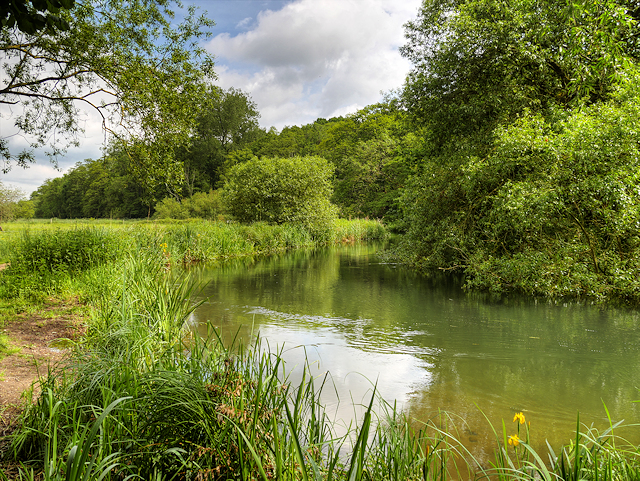
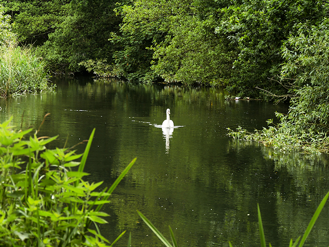
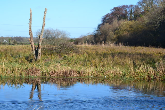
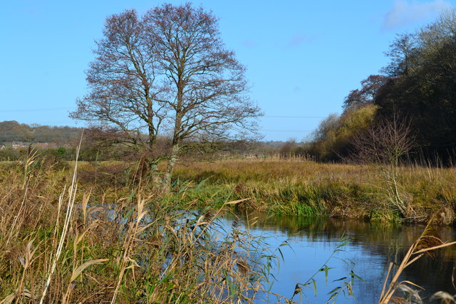
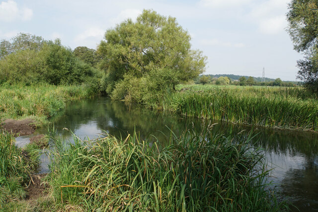
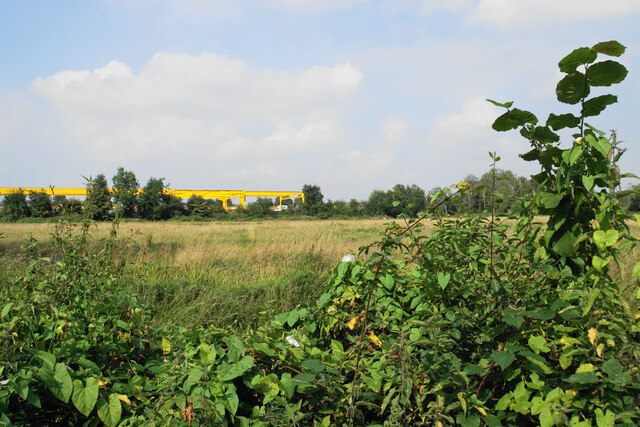
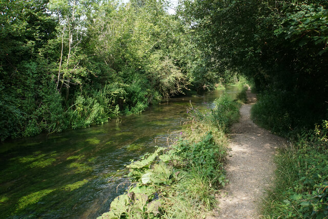
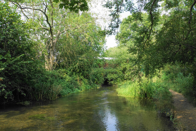
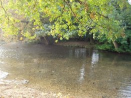
Residents of Bishopstoke enjoy a range of amenities, including local shops, pubs, and restaurants. The village has a strong sense of community and is home to various social clubs and organizations. Outdoor enthusiasts can explore the nearby Itchen Valley Country Park, which offers extensive walking trails and picturesque views along the River Itchen.
In conclusion, Bishopstoke is a delightful village in Hampshire, offering a peaceful and idyllic setting, while still providing convenient access to nearby towns and cities. Its rich history, charming architecture, and beautiful surrounding countryside make it an attractive place to live or visit.
If you have any feedback on the listing, please let us know in the comments section below.
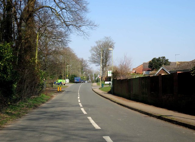
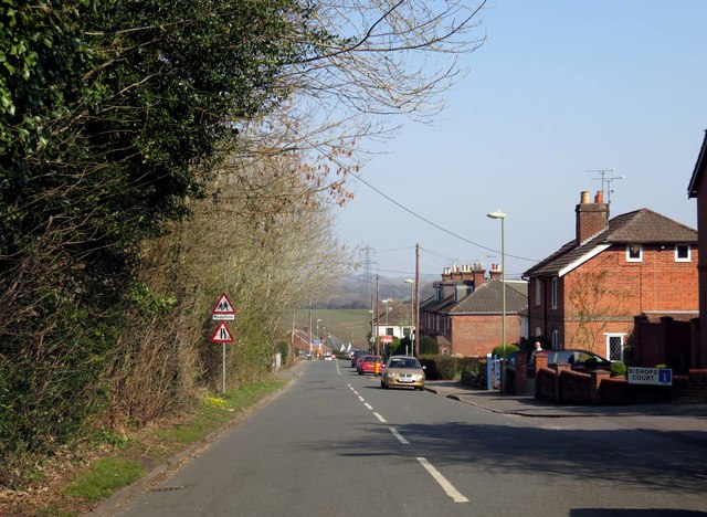
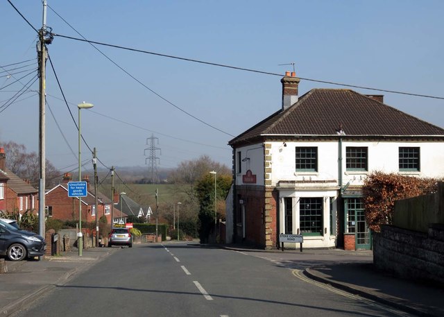
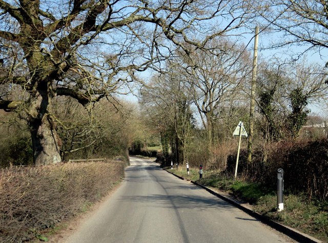
Bishopstoke Images
Images are sourced within 2km of 50.9663/-1.334211 or Grid Reference SU4618. Thanks to Geograph Open Source API. All images are credited.


Bishopstoke is located at Grid Ref: SU4618 (Lat: 50.9663, Lng: -1.334211)
Administrative County: Hampshire
District: Eastleigh
Police Authority: Hampshire
What 3 Words
///reds.monkey.most. Near Bishopstoke, Hampshire
Nearby Locations
Related Wikis
Bishopstoke
Bishopstoke is a village and civil parish in the Eastleigh district of Hampshire, England. It is recorded as "Stoke" as early as 948 AD when King Eadred...
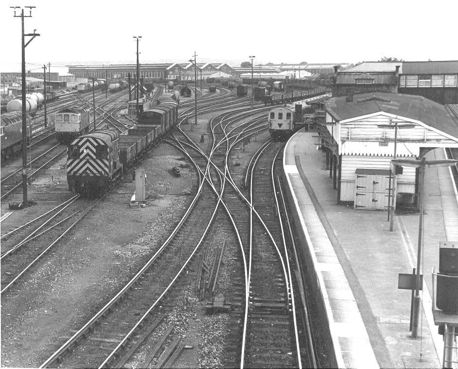
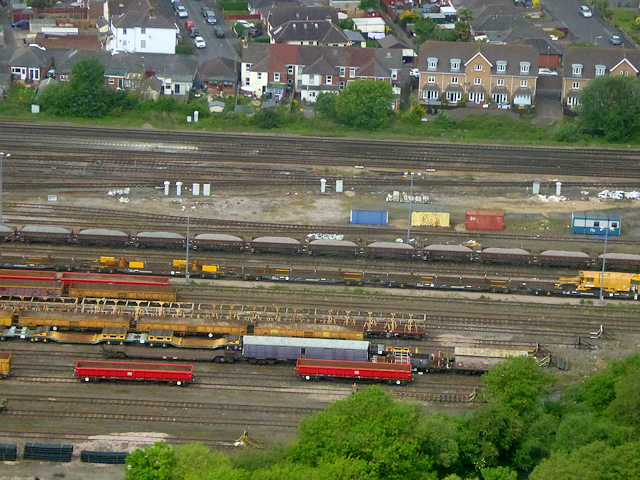
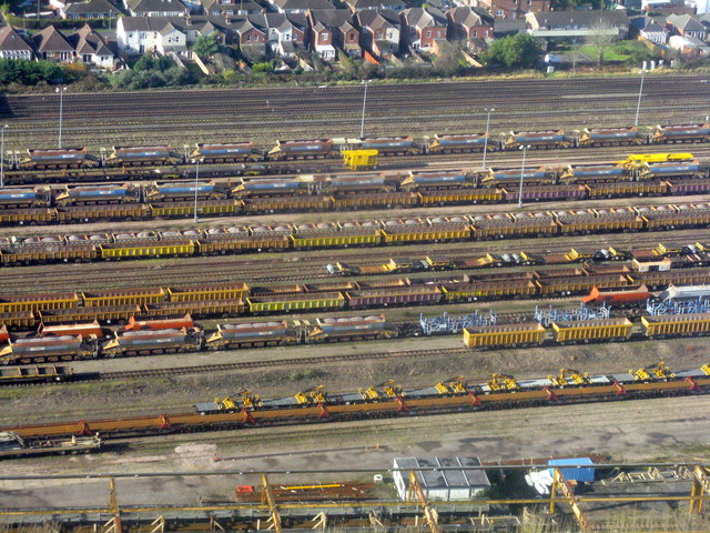
Eastleigh Works
Eastleigh Works is a locomotive, carriage and wagon building and repair facility in the town of Eastleigh, in the county of Hampshire in England. ��2...

St Mary's Church, Bishopstoke
The Church of St Mary's is an Anglican Church in Bishopstoke, Hampshire. St Mary's was designed by Edward Prioleau Warren and built during 1890/91 by Wheeler...

Eastleigh
Eastleigh is a town in Hampshire, England, between Southampton and Winchester. It is the largest town and the administrative seat of the Borough of Eastleigh...
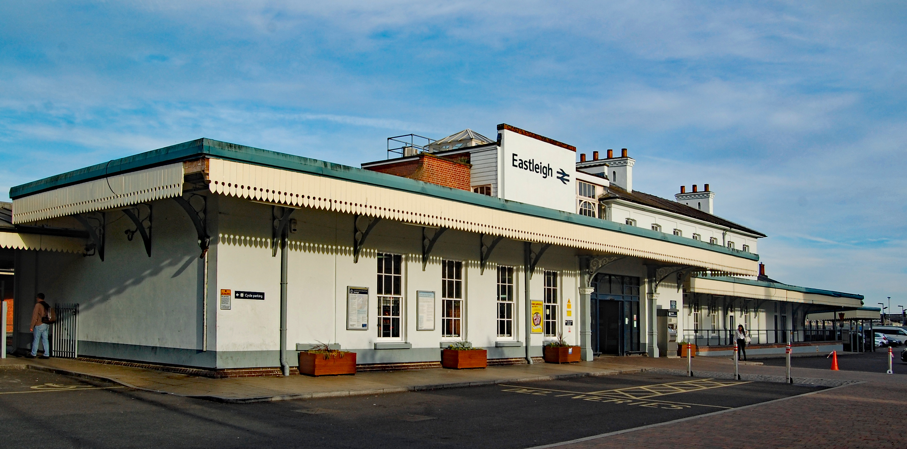
Eastleigh railway station
Eastleigh railway station serves the town of Eastleigh in the county of Hampshire in England. It is located on the South West Main Line and is the junction...

Eastleigh Train and Rolling Stock Maintenance Depot
Eastleigh Train and Rolling Stock Maintenance Depot is a depot location in Eastleigh, Hampshire, England. The depot is situated on the South West Main...

Eastleigh Museum
Eastleigh Museum was a museum situated in Eastleigh, a town in Hampshire, England, which opened in October 1986. In 2014, ownership of the Eastleigh Museum...

The Point, Eastleigh
The Point is a theatre and dance studio for contemporary performance and contemporary dance at Eastleigh in Hampshire, England, operating under the auspices...
Nearby Amenities
Located within 500m of 50.9663,-1.334211Have you been to Bishopstoke?
Leave your review of Bishopstoke below (or comments, questions and feedback).