Pound Bank
Settlement in Worcestershire Wyre Forest
England
Pound Bank
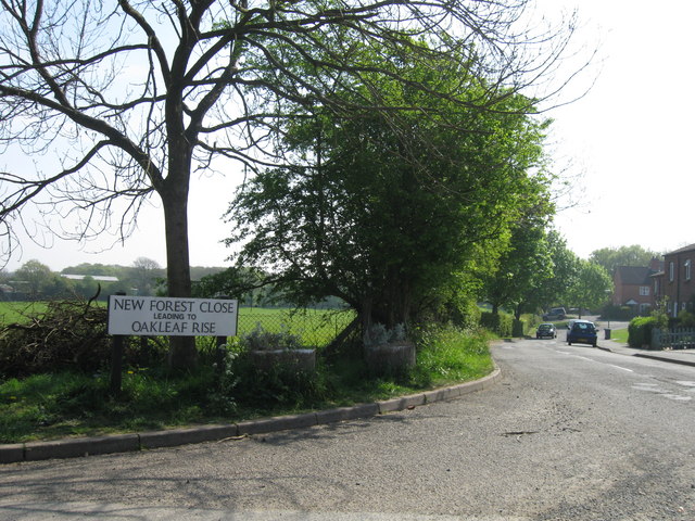
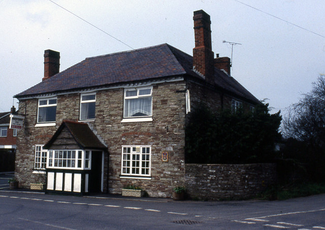
Pound Bank is a small village located in the county of Worcestershire, England. Situated in the district of Wychavon, it lies approximately 5 miles southeast of the town of Worcester. With a population of around 400 residents, Pound Bank is a close-knit community that enjoys a peaceful rural setting.
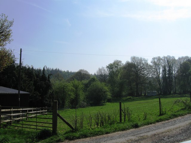
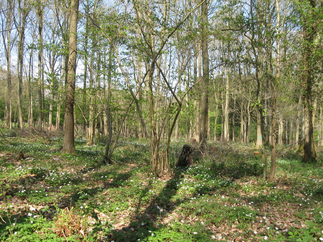
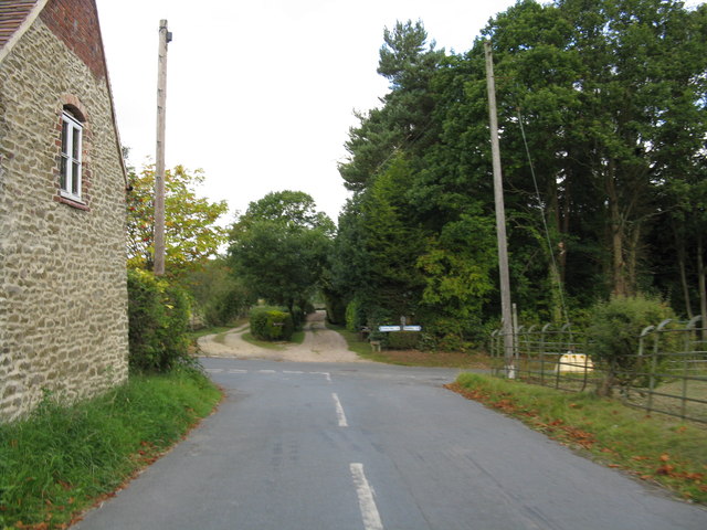
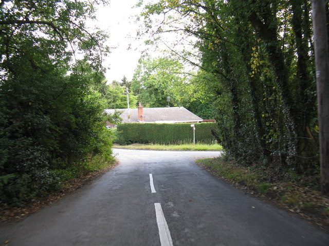
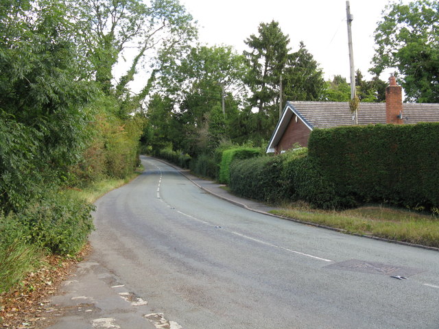
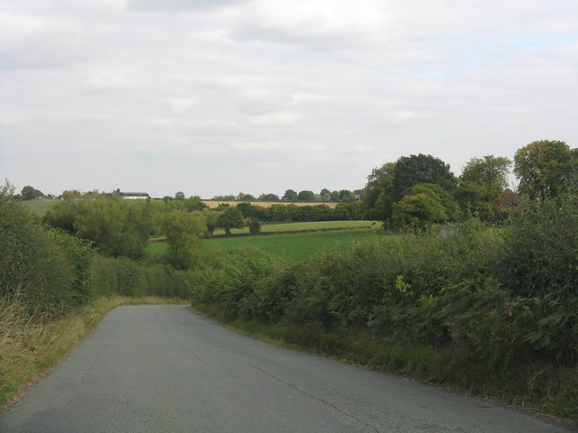
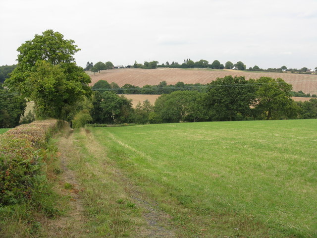
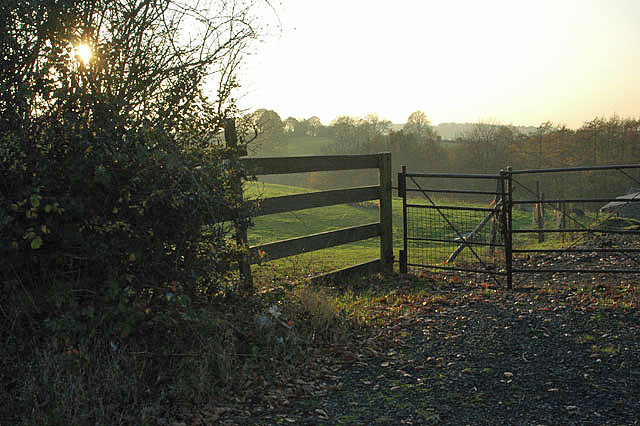
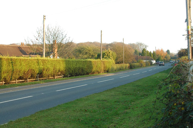
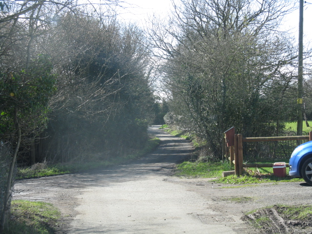
The village is known for its picturesque surroundings, characterized by rolling hills, lush green fields, and charming country lanes. It is surrounded by a mixture of farmland and woodland, providing scenic views and opportunities for outdoor activities such as walking and cycling.
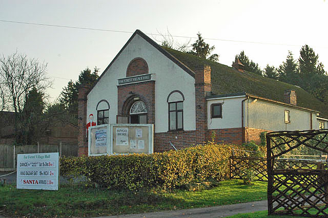
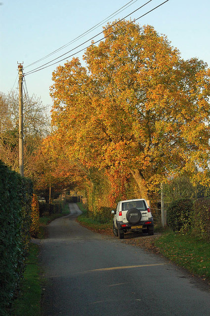
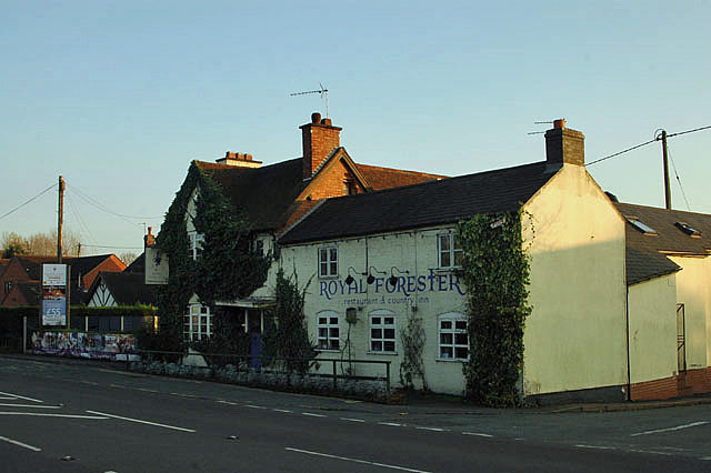
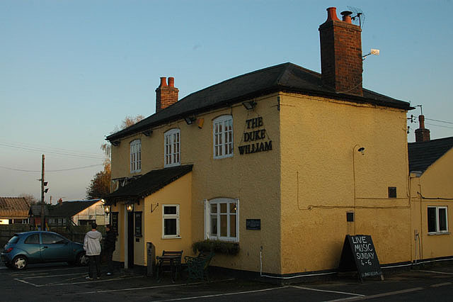
Despite its small size, Pound Bank offers a range of amenities and services to its residents. These include a primary school, a village hall, a local pub, and a few shops. The village is well-connected to neighboring areas through a network of roads, making it easily accessible for commuters and visitors alike.
In terms of history, Pound Bank has a rich heritage that dates back centuries. The village was mentioned in the Domesday Book of 1086, reflecting its long-standing presence in the region. Over the years, Pound Bank has evolved from an agricultural community into a residential area, while still retaining its rural charm and character.
Overall, Pound Bank is a tranquil and welcoming village that offers a peaceful lifestyle amidst the beautiful Worcestershire countryside. With its strong sense of community and idyllic setting, it is a sought-after place to live for those who appreciate a slower pace of life.
If you have any feedback on the listing, please let us know in the comments section below.
Pound Bank Images
Images are sourced within 2km of 52.361924/-2.394705 or Grid Reference SO7373. Thanks to Geograph Open Source API. All images are credited.


Pound Bank is located at Grid Ref: SO7373 (Lat: 52.361924, Lng: -2.394705)
Administrative County: Worcestershire
District: Wyre Forest
Police Authority: West Mercia
What 3 Words
///idealist.island.latches. Near Bewdley, Worcestershire
Nearby Locations
Related Wikis

Fingerpost, Worcestershire
Fingerpost is a hamlet and road junction in north Worcestershire, England, approximately 3 miles (4.8 km) west of Bewdley. It is located at the junction...

Far Forest
Far Forest is a small village in north Worcestershire, England, approximately 3.5 miles (5.6 km) west of Bewdley, and next to the border with Shropshire...

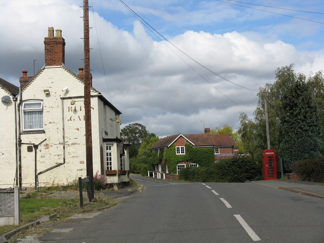
Bliss Gate
Bliss Gate is a small village in Worcestershire, England. It had many attractive tourist landmarks such as the Bliss Gate Inn (now closed) and a village...
Wyre Forest railway station
Wyre Forest railway station was a station to the north of Far Forest, Worcestershire, England. The station which served the Wyre Forest was opened in 1869...

Clows Top
Clows Top is a village in north Worcestershire, England. There is a village shop/post office, a butcher's, a village hall (named the "Victory Hall") and...
Rock, Worcestershire
Rock is a village and civil parish in the Wyre Forest District of Worcestershire, England, which lies south-west of Bewdley. It had a population of 2,366...

Church of St Peter and St Paul, Rock
The Church of St Peter and St Paul is an Anglican church in the village of Rock, in Worcestershire, England. It is in the parish of Rock with Heightington...

Rock moated site and medieval village
Rock moated site and medieval village is an archaeological site, including a deserted medieval village, in Worcestershire, England, near the village of...
Related Videos

Exploring around in Wyre Forest
In today's vlog we went up to Wyre Forest in the Land Rover and had ourselves a nice lunch before heading out on a hike around ...
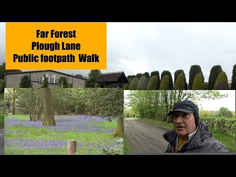
Far Forest Plough lane Public footpath walk
another great walk folks.

Vango Air Canopy
Time to see if the Vango Air Canopy can be put up in 5 minutes ! Location is ,Yew Tree Farm Touring site, Bewdley, and the suns ...
Nearby Amenities
Located within 500m of 52.361924,-2.394705Have you been to Pound Bank?
Leave your review of Pound Bank below (or comments, questions and feedback).