Bishop's Quay

Settlement in Cornwall

England

Bishop's Quay

Mawgan-In-Meneage : Gilly Entrance to Gilly off the B3293.
Mawgan-In-Meneage : Gilly Credit: Lewis Clarke

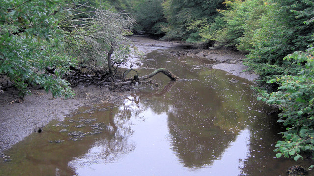
Bishop's Quay is a picturesque coastal village located in Cornwall, England. Nestled on the southern coast, it offers stunning views of the Atlantic Ocean and is renowned for its natural beauty. The village is situated on a small peninsula, with the River Fowey flowing on one side and the sea on the other.

The main attraction of Bishop's Quay is its charming harbor, which has a long history dating back to the 16th century. The harbor was once a bustling port, serving as a trading hub for fishing vessels and cargo ships. Today, it is still home to a small fishing fleet, providing fresh seafood to local restaurants and markets.

The village itself is a delight to explore, with narrow winding streets lined with traditional Cornish cottages. Visitors can admire the quaint architecture and immerse themselves in the village's rich history. There are several shops, cafes, and pubs scattered throughout, offering a warm and welcoming atmosphere.

Outdoor enthusiasts will find plenty to do in Bishop's Quay, as the surrounding area is a haven for nature lovers. The nearby South West Coast Path offers breathtaking walks along the rugged coastline, with stunning views of the sea and the chance to spot local wildlife such as seals and seabirds.

Overall, Bishop's Quay is a tranquil and idyllic village that showcases the natural beauty and rich heritage of Cornwall. Whether it's exploring the historic harbor, enjoying fresh seafood, or simply taking in the stunning coastal scenery, visitors are sure to fall in love with this charming destination.

If you have any feedback on the listing, please let us know in the comments section below.

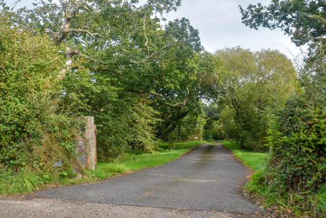
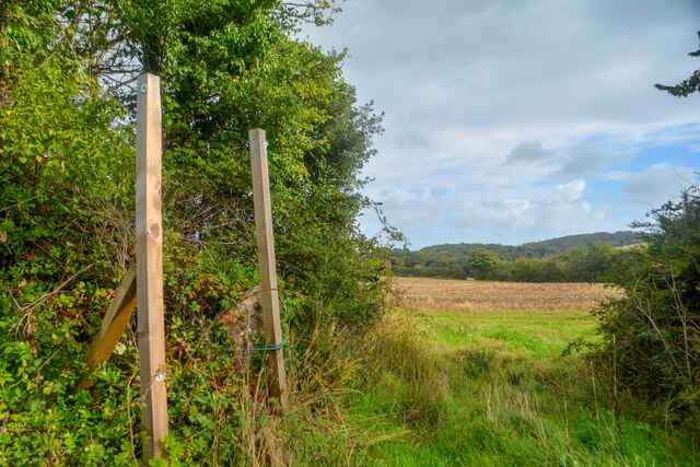
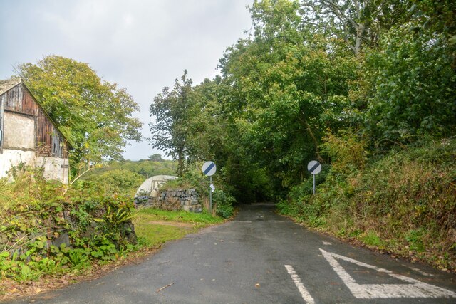
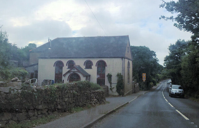
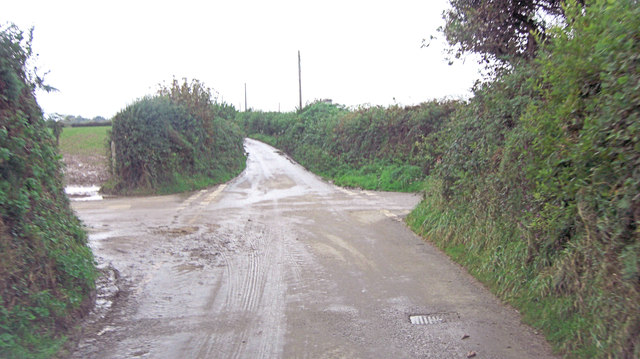
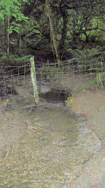
Bishop's Quay Images

Images are sourced within 2km of 50.081277/-5.1882921 or Grid Reference SW7225. Thanks to Geograph Open Source API. All images are credited.

Mawgan-In-Meneage : Gilly Entrance to Gilly off the B3293.
Mawgan-In-Meneage : Gilly
Entrance to Gilly off the B3293.
Mawgan-In-Meneage : Garras - Hillside Looking towards Hillside off the B3293.
Mawgan-In-Meneage : Garras - Hillside
Looking towards Hillside off the B3293.
Mawgan-In-Meneage : Garras - Field Looking into the field.
Mawgan-In-Meneage : Garras - Field
Looking into the field.
Mawgan-In-Meneage : Garras - Road A road off the B3293.
Mawgan-In-Meneage : Garras - Road
A road off the B3293.
Former Garras United Methodist Church
Path in seal sanctuary
Trelowarren Quay Also known as Gear Quay, this is situated at the head of Mawgan Creek.
Trelowarren Quay
Also known as Gear Quay, this is situated at the head of Mawgan Creek.
Gweek View of Helford River
Unnamed lane crosses Ford's Hill
Tributary of Tremayne Creek
Pasture southeast of Bunnell Farm
Forestry operations at Gear
Unnamed lane junction with Gear Hill
Gear Creek seen from Gear Bridge
Church of Saint Maugan English Heritage have listed this church Grade I and given it English Heritage Building ID: 65309. It is their spelling in the title. The building dates from the 13th C but was remodelled in the 15th C. The tower is typical of 15th C Cornish west towers and is a very complete example. For more detail see: <span class="nowrap"><a title="http://www.britishlistedbuildings.co.uk/en-65309-church-of-saint-maugan-mawgan-in-meneage-" rel="nofollow ugc noopener" href="http://www.britishlistedbuildings.co.uk/en-65309-church-of-saint-maugan-mawgan-in-meneage-">Link</a><img style="margin-left:2px;" alt="External link" title="External link - shift click to open in new window" src="https://s1.geograph.org.uk/img/external.png" width="10" height="10"/></span>
Church of Saint Maugan
English Heritage have listed this church Grade I and given it English Heritage Building ID: 65309. It is their spelling in the title. The building dates from the 13th C but was remodelled in the 15th C. The tower is typical of 15th C Cornish west towers and is a very complete example. For more detail see: LinkExternal link
Church House A simple building but unaltered, and one of a group of buildings near the church. It dates from the early 19th C and is Grade II listed, with English Heritage Building ID: 65319. It served as a vestry.
Church House
A simple building but unaltered, and one of a group of buildings near the church. It dates from the early 19th C and is Grade II listed, with English Heritage Building ID: 65319. It served as a vestry.
Halliggye Fogou Looking rather neater than in a more recent image <a href="https://www.geograph.org.uk/photo/1269633">SW7123 : Entrance to Halliggye Fogou</a>. <span class="nowrap"><a title="http://www.english-heritage.org.uk/daysout/properties/halliggye-fogou/history-and-research/" rel="nofollow ugc noopener" href="http://www.english-heritage.org.uk/daysout/properties/halliggye-fogou/history-and-research/">Link</a><img style="margin-left:2px;" alt="External link" title="External link - shift click to open in new window" src="https://s1.geograph.org.uk/img/external.png" width="10" height="10"/></span> .
Halliggye Fogou
Looking rather neater than in a more recent image SW7123 : Entrance to Halliggye Fogou. LinkExternal link .
Steps up to the mound containing the Fogou at Halliggye
Show me another place!

Bishop's Quay is located at Grid Ref: SW7225 (Lat: 50.081277, Lng: -5.1882921)

Unitary Authority: Cornwall

Police Authority: Devon and Cornwall

What 3 Words

///tailed.fired.behalf. Near Helston, Cornwall

Nearby Locations

Bishop's Quay

Related Wikis

Bishop's Quay

Bishop's Quay is a hamlet in south-west Cornwall, England, United Kingdom. It is in the civil parish of St. Martin-in-Meneage. It is situated on the south...

Meneage

The Meneage (Cornish: Menaghek or Manahek) is a district in west Cornwall, United Kingdom. The nearest large towns are Falmouth and Helston. (Note: the...

Mawgan-in-Meneage

Mawgan-in-Meneage is a civil parish in Cornwall, England, United Kingdom. It is situated in the Meneage district of The Lizard peninsula south of Helston...

Halliggye Fogou

Halliggye Fogou is one of many fogous in Cornwall, England, United Kingdom. The site is under the guardianship of English Heritage, and managed by the...

Nearby Amenities

Located within 500m of 50.081277,-5.1882921
Source: PGS
Lat/Long: 50.0799848/-5.1922041
Source: PGS
Lat/Long: 50.0841174/-5.1934341
Source: PGS
Lat/Long: 50.0844598/-5.1923822
Source: PGS
Lat/Long: 50.085044/-5.1917866
Power: pole
Lat/Long: 50.082527/-5.1904124
Power: pole
Lat/Long: 50.0821656/-5.1894495
Power: pole
Lat/Long: 50.0820313/-5.1880252
Power: pole
Lat/Long: 50.0809728/-5.1818226
Power: pole
Lat/Long: 50.0812955/-5.1828016
Power: pole
Lat/Long: 50.0815657/-5.1835983
Power: pole
Lat/Long: 50.0818953/-5.186487
Power: pole
Lat/Long: 50.0817482/-5.1849662
Power: pole
Lat/Long: 50.0816174/-5.1835111
The data included in this document is from www.openstreetmap.org. The data is made available under ODbL.

Have you been to Bishop's Quay?

Leave your review of Bishop's Quay below (or comments, questions and feedback).