Bishops Green

Settlement in Essex Uttlesford

England

Bishops Green

Road junction near Attridge's Farm Behind me the lane goes to Rands and High Roding, ahead heads off towards The Easters and left goes to Bishop's Green and Barnston.
Road junction near Attridge's Farm Credit: Trevor Harris

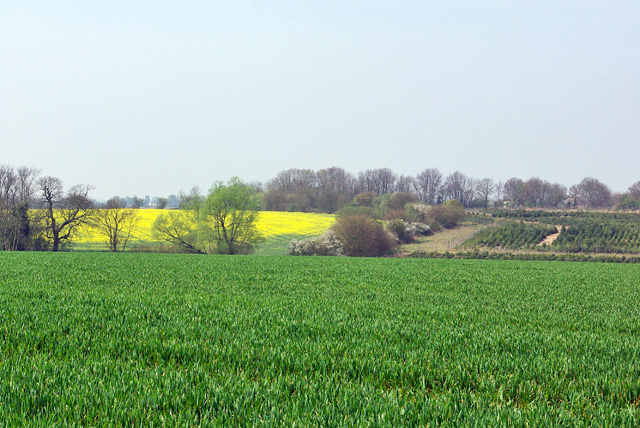
Bishops Green is a small village located in the county of Essex, England. Situated approximately 6 miles northwest of Harlow, it falls within the district of Epping Forest. The village is nestled amidst picturesque countryside, offering a serene and idyllic setting for its residents.

With a population of just over 1,000 people, Bishops Green is a close-knit community that exudes a strong sense of community spirit. The village is known for its friendly and welcoming atmosphere, making it an attractive place to live for families and individuals seeking a peaceful and safe environment.

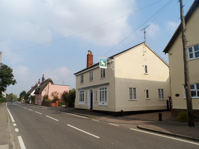
Bishops Green is primarily a residential area, characterized by charming cottages and a mix of modern houses. The village boasts a range of amenities to cater to the needs of its residents, including a village hall, a local shop, and a primary school. Additionally, there are several nearby pubs and restaurants that offer a selection of food and drink options.

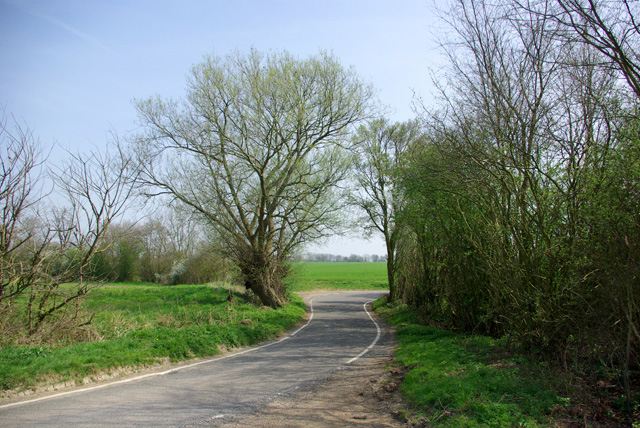
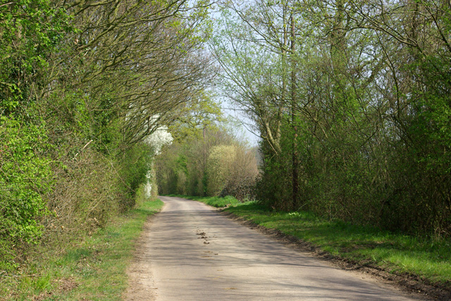
For those seeking recreational activities, Bishops Green offers plenty of opportunities to enjoy the outdoors. The village is surrounded by beautiful countryside, providing ample space for walking, cycling, and exploring nature. Nearby, residents can also find golf courses, parks, and nature reserves, ensuring there is something for everyone to enjoy.

Overall, Bishops Green is a quaint and peaceful village in Essex that offers a close community, beautiful surroundings, and a range of amenities. It is an ideal location for those looking to escape the hustle and bustle of city life while still having easy access to nearby towns and cities.

If you have any feedback on the listing, please let us know in the comments section below.

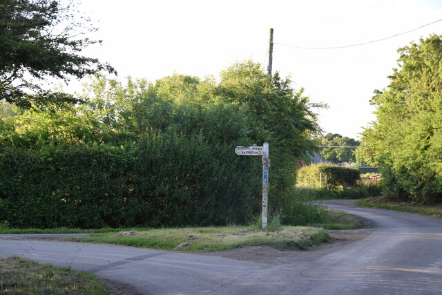
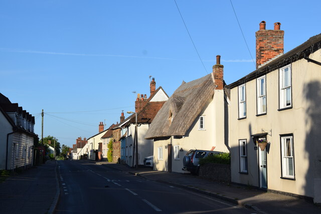
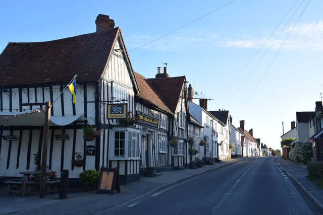
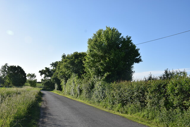
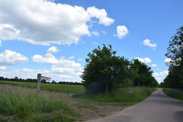
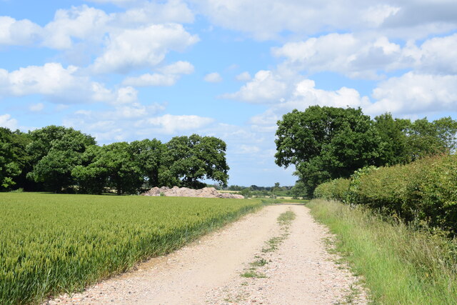
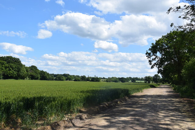
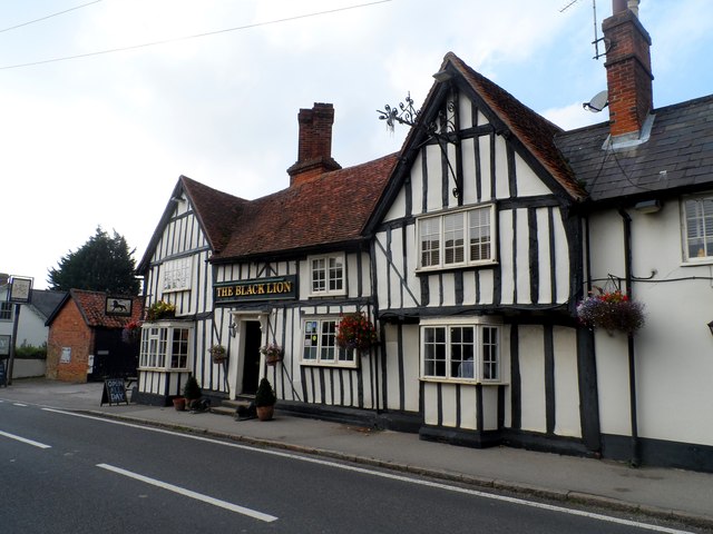
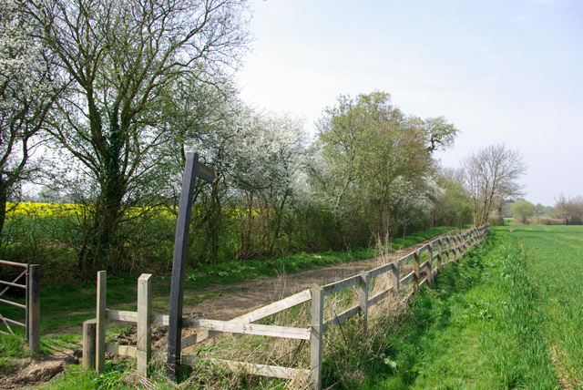
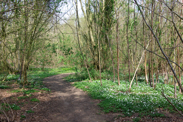
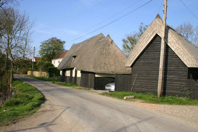
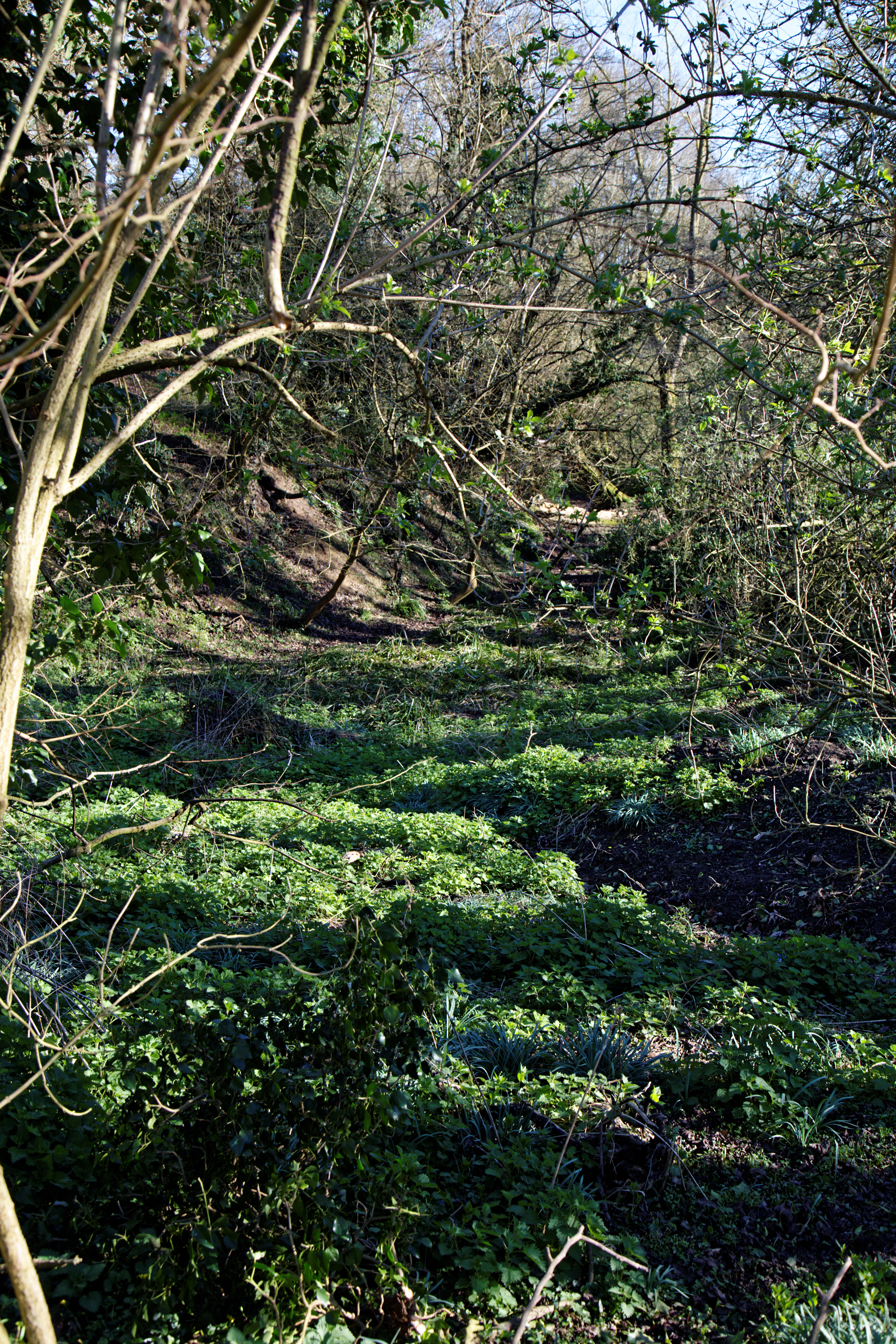
Bishops Green Images

Images are sourced within 2km of 51.82813/0.349467 or Grid Reference TL6217. Thanks to Geograph Open Source API. All images are credited.

Road junction near Attridge's Farm Behind me the lane goes to Rands and High Roding, ahead heads off towards The Easters and left goes to Bishop's Green and Barnston.
Road junction near Attridge's Farm
Behind me the lane goes to Rands and High Roding, ahead heads off towards The Easters and left goes to Bishop's Green and Barnston.
High Roding A view from he northern end of the village. The early morning sun highlights the little thatched cottage. High Roding is very much a linear settlement with very little development back from The Street - which follows the line of a Roman Road. Some modern development has resulted in some "back streets".
High Roding
A view from he northern end of the village. The early morning sun highlights the little thatched cottage. High Roding is very much a linear settlement with very little development back from The Street - which follows the line of a Roman Road. Some modern development has resulted in some "back streets".
The Black Lion and the view north east along The Street The Black Lion proclaims itself "a Traditional 14th Century Coaching Inn" (no doubt correctly).
The Black Lion and the view north east along The Street
The Black Lion proclaims itself "a Traditional 14th Century Coaching Inn" (no doubt correctly).
Lane to High Trees Farm ....and to the sewage works.
Lane to High Trees Farm
....and to the sewage works.
Lane to Roffey Taken from its junction with Watery Lane.
Lane to Roffey
Taken from its junction with Watery Lane.
Bridleway at Roffey Looking north east to where it makes a sharp turn to the south east.
Bridleway at Roffey
Looking north east to where it makes a sharp turn to the south east.
North of Roffey The bridleway, fields and, to the left, the edge of Roffey Wood.
North of Roffey
The bridleway, fields and, to the left, the edge of Roffey Wood.
The Black Lion, High Roding The core of the structure is C15 but with many later additions. See <span class="nowrap"><a title="http://www.britishlistedbuildings.co.uk/en-352755-the-black-lion-public-house-high-roothin#.VhrMn_lViko" rel="nofollow ugc noopener" href="http://www.britishlistedbuildings.co.uk/en-352755-the-black-lion-public-house-high-roothin#.VhrMn_lViko">Link</a><img style="margin-left:2px;" alt="External link" title="External link - shift click to open in new window" src="https://s1.geograph.org.uk/img/external.png" width="10" height="10"/></span> for entry in British Listed Buildings.
The Black Lion, High Roding
The core of the structure is C15 but with many later additions. See LinkExternal link for entry in British Listed Buildings.
Village sign, High Roding
The Old Lamb, High Roding It seems to have been converted to residential use. See <span class="nowrap"><a title="http://www.britishlistedbuildings.co.uk/en-352794-the-old-lamb-public-house-high-roothing-#.VhrOavlViko" rel="nofollow ugc noopener" href="http://www.britishlistedbuildings.co.uk/en-352794-the-old-lamb-public-house-high-roothing-#.VhrOavlViko">Link</a><img style="margin-left:2px;" alt="External link" title="External link - shift click to open in new window" src="https://s1.geograph.org.uk/img/external.png" width="10" height="10"/></span> for entry in British Listed Buildings
The Old Lamb, High Roding
It seems to have been converted to residential use. See LinkExternal link for entry in British Listed Buildings
Behind the hedge A rather indirect lane towards Barnston and Dunmow is on the other side.
Behind the hedge
A rather indirect lane towards Barnston and Dunmow is on the other side.
Across the fields to Dobb's Wood
View west over fields The stream in the valley forms the parish boundary between High Easter and High Roding.
View west over fields
The stream in the valley forms the parish boundary between High Easter and High Roding.
Lane to High Roding, Barnston and Dunmow Depending which way you turn at the next junction.
Lane to High Roding, Barnston and Dunmow
Depending which way you turn at the next junction.
Rands Road The road crosses a small stream here, the parish boundary between High Roding and High Easter.
Rands Road
The road crosses a small stream here, the parish boundary between High Roding and High Easter.
Lane from High Roding to Barnston Between Proverbs Green and Bishop's Green.
Lane from High Roding to Barnston
Between Proverbs Green and Bishop's Green.
Bridleway to Roffey The start of the bridleway near Bishop's Green.
Bridleway to Roffey
The start of the bridleway near Bishop's Green.
Path in Garnetts Wood In the southern part of the wood, which has a more acidic flora than the rest.
Path in Garnetts Wood
In the southern part of the wood, which has a more acidic flora than the rest.
Show me another place!

Bishops Green is located at Grid Ref: TL6217 (Lat: 51.82813, Lng: 0.349467)

Administrative County: Essex

District: Uttlesford

Police Authority: Essex

What 3 Words

///outbursts.full.bikers. Near Great Dunmow, Essex

Nearby Locations

Bishops Green

Related Wikis

Bishop's Green, Essex

Bishop's Green is a hamlet in the civil parish of High Easter in the Uttlesford district of Essex, England. The hamlet is on the road between the villages...

High Roding

High Roding is a village and civil parish in the Uttlesford district of Essex, England. The village is included in the eight hamlets and villages called...

Bacon End

Bacon End is a hamlet in the civil parish of Great Canfield, and near Great Canfield Castle, in Essex, England. == References == == External links == mid...

Garnetts Wood and Barnston Lays

Garnetts Wood and Barnston Lays is a 25 hectare biological Site of Special Scientific Interest two miles south of Great Dunmow in Essex. It is owned and...

High Easter

High Easter is a village and a civil parish in the Uttlesford district of Essex, England. The village is 7 miles (11 km) northwest from the city of and...

Baconend Green

Baconend Green is a hamlet in the Uttlesford district of Essex, England. It is within the parish of Great Canfield.

Wellstye Green

Wellstye Green or Wells Tye Green is a hamlet located between the villages of High Easter and Barnston, in the Uttlesford district of Essex. It is the...

Great Canfield Castle

Great Canfield Castle lies in the small village of Great Canfield, 3 miles (5 km) south-west of Great Dunmow in Essex, England: grid reference TL595179...

Nearby Amenities

Located within 500m of 51.82813,0.349467
The data included in this document is from www.openstreetmap.org. The data is made available under ODbL.

Have you been to Bishops Green?

Leave your review of Bishops Green below (or comments, questions and feedback).