Pool

Settlement in Yorkshire

England

Pool

Robert Craven Memorial Hall Built in 1896, this is the village hall for the village of Bramhope. Built using a legacy of a local farmer, Robert Craven.
Robert Craven Memorial Hall Credit: Graham Firth

Pool is a village located in the metropolitan borough of Leeds, in the county of West Yorkshire, England. Situated approximately 7 miles north of Leeds city center, Pool is a small and picturesque village with a population of around 3,000 residents.

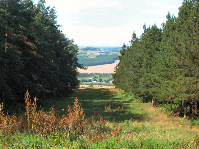
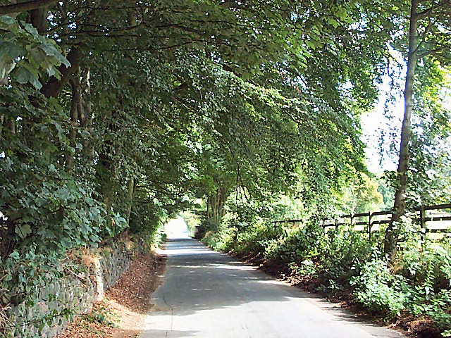
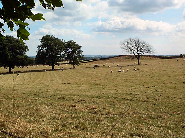
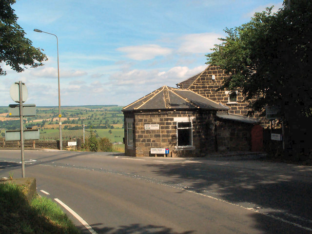
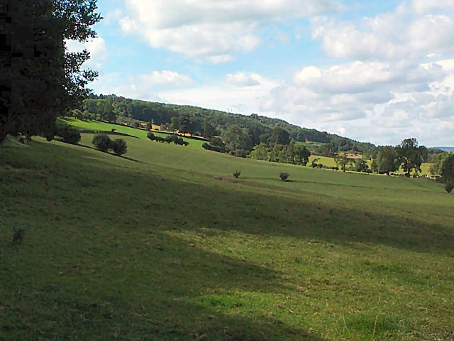
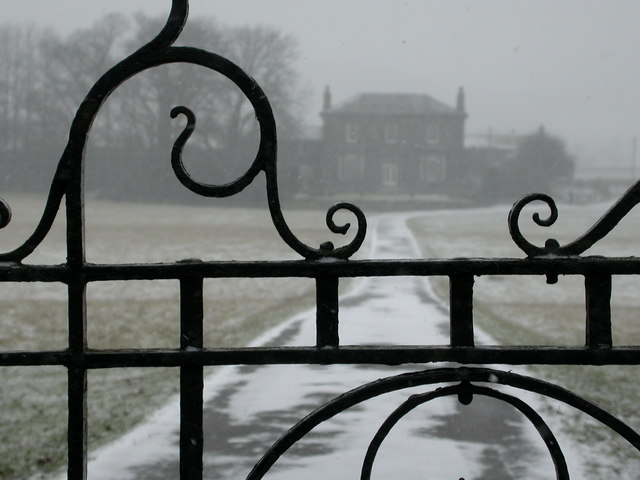
The village of Pool has a rich history that dates back to medieval times. Its name is derived from the Old English word "pōl," which means a small body of water or a pool. The village is known for its attractive countryside surroundings, with rolling hills and green fields. It is also home to a number of charming stone-built houses and cottages, giving it a quintessentially English village vibe.

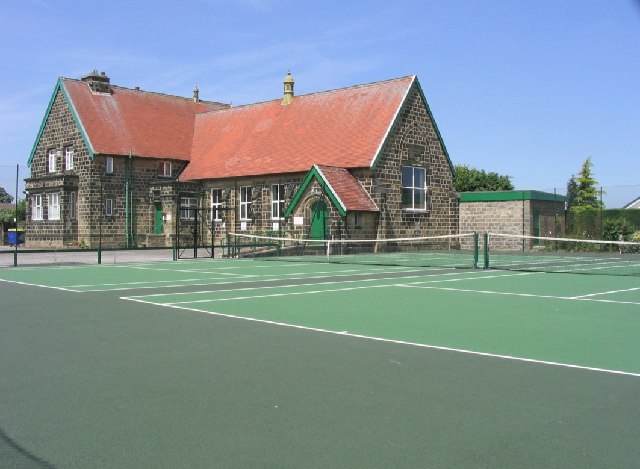
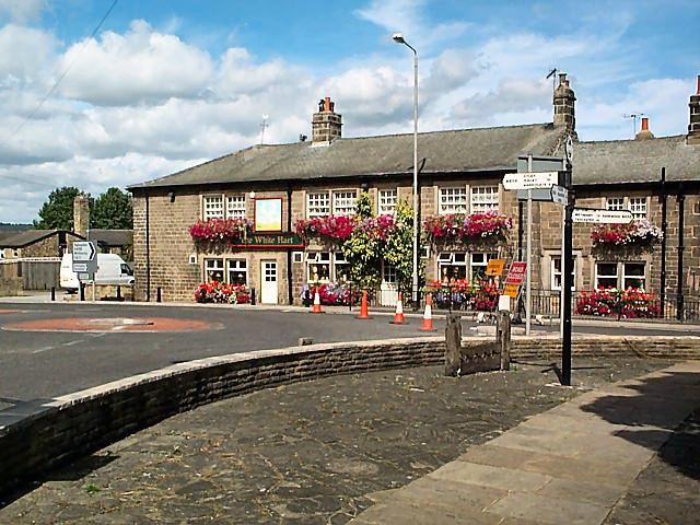
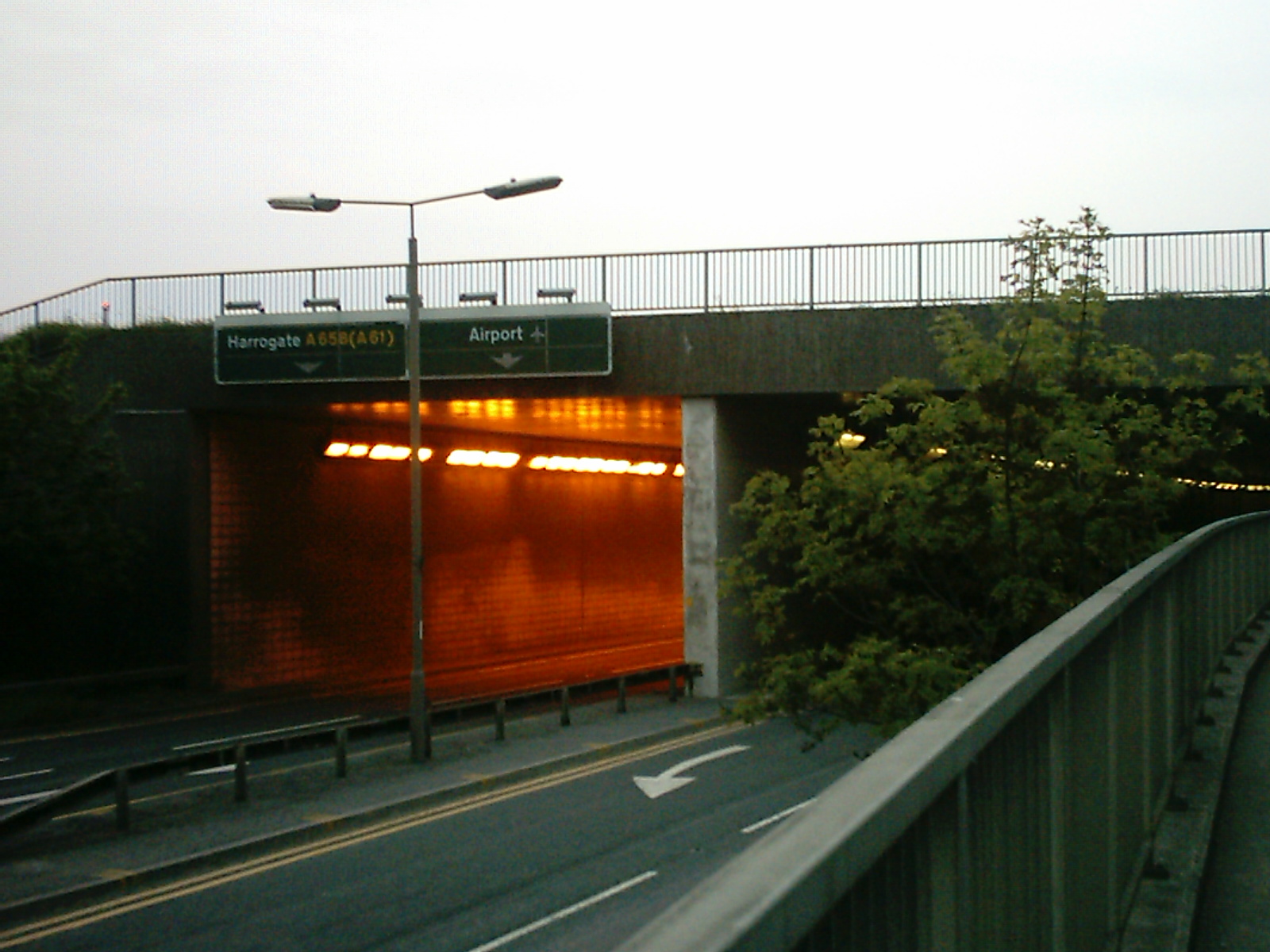
Despite its small size, Pool has a range of amenities and facilities for its residents. These include a primary school, several shops, a post office, a pub, and a community center. The village also has good transport links, with regular bus services connecting it to nearby towns and cities.

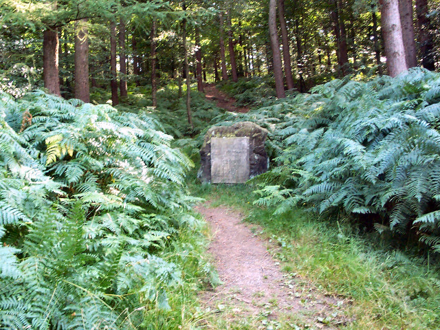
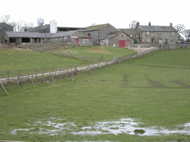
One of Pool's notable attractions is the New Croft House Farm, a working farm that offers visitors the chance to learn about and interact with various farm animals. The area surrounding Pool is also popular with walkers and nature enthusiasts due to its proximity to the beautiful countryside of Wharfedale and the Yorkshire Dales.

Overall, Pool is a charming and tranquil village that offers a peaceful retreat from the bustling city life, while still providing essential amenities and easy access to the surrounding natural beauty of Yorkshire.

If you have any feedback on the listing, please let us know in the comments section below.
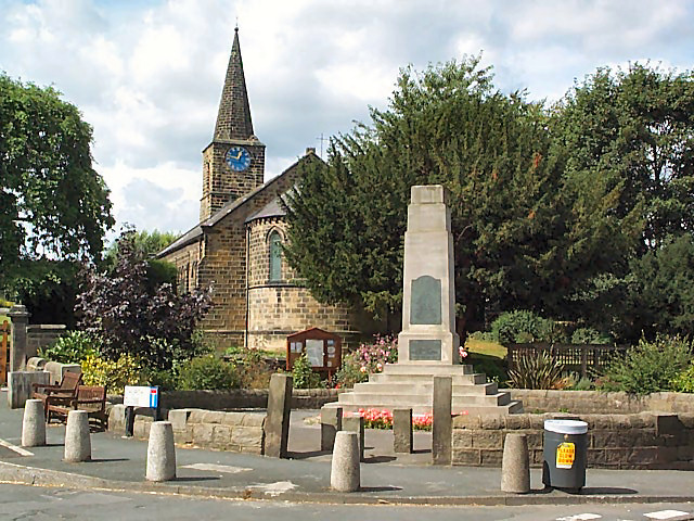
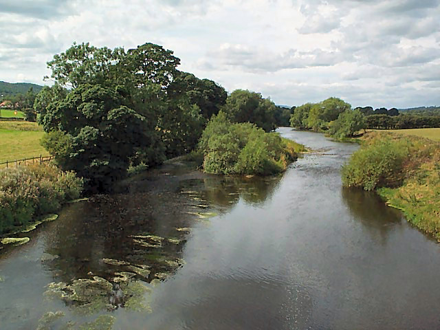
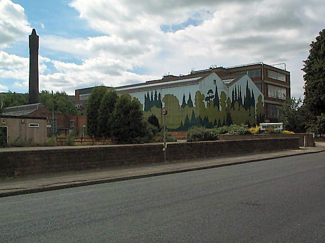
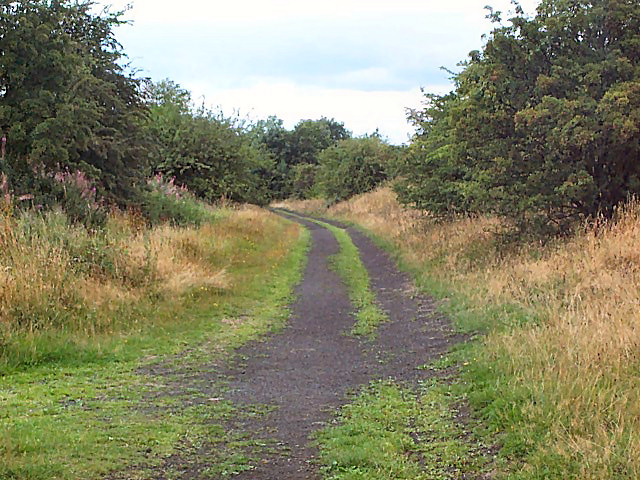
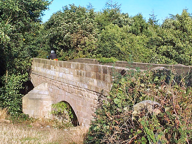
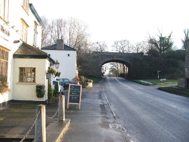
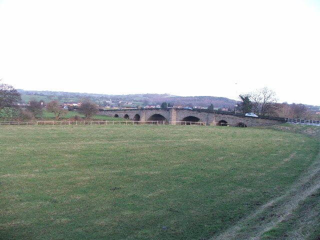
Pool Images

Images are sourced within 2km of 53.900616/-1.6362298 or Grid Reference SE2445. Thanks to Geograph Open Source API. All images are credited.

Robert Craven Memorial Hall Built in 1896, this is the village hall for the village of Bramhope. Built using a legacy of a local farmer, Robert Craven.
Robert Craven Memorial Hall
Built in 1896, this is the village hall for the village of Bramhope. Built using a legacy of a local farmer, Robert Craven.
Chevin Forest Park Looking northwards, through a break in the trees, over the Wharfe valley towards Farnley from the Dales Way Link.
Chevin Forest Park
Looking northwards, through a break in the trees, over the Wharfe valley towards Farnley from the Dales Way Link.
Memorial stone, Chevin Forest Park The rather underwhelming stone reads: REMEMBER / COUNTY ALDERMAN H J BAMBRIDGE OBE JP / COUNCILLOR R T A RENTON JP / ARCHDEACON T J WILLIAMS MC TD MA BD / WHO SERVED / GOD / THEIR COUNTRY / THEIR COUNTY / THIS VALLEY AND TOWNSHIP / 17TH JULY 1960 / THIS PLANTATION OF BRITISH / HARDWOOD TREES WAS THE GIFT OF / MAJOR LE G G W HORTON-FAWKES
Memorial stone, Chevin Forest Park
The rather underwhelming stone reads: REMEMBER / COUNTY ALDERMAN H J BAMBRIDGE OBE JP / COUNCILLOR R T A RENTON JP / ARCHDEACON T J WILLIAMS MC TD MA BD / WHO SERVED / GOD / THEIR COUNTRY / THEIR COUNTY / THIS VALLEY AND TOWNSHIP / 17TH JULY 1960 / THIS PLANTATION OF BRITISH / HARDWOOD TREES WAS THE GIFT OF / MAJOR LE G G W HORTON-FAWKES
Old Pool Bank The original course of what is now the A658 was down this steep, narrow lane. This is right at the top, looking downwards (northwards).
Old Pool Bank
The original course of what is now the A658 was down this steep, narrow lane. This is right at the top, looking downwards (northwards).
Trees at the top of Pool Bank It's dead Jim. (The one on the right.)
Trees at the top of Pool Bank
It's dead Jim. (The one on the right.)
The Bar House, near Pool Halfway down the old Pool Bank, where it crosses the current A660 from Otley (left) to Leeds (right). Old Pool Bank disappears down to the left of The Bar House.
The Bar House, near Pool
Halfway down the old Pool Bank, where it crosses the current A660 from Otley (left) to Leeds (right). Old Pool Bank disappears down to the left of The Bar House.
Western end of Pool Bank The fields of the western end of Pool Bank.  Taken from Old Pool Bank near the dismantled railway line, looking westwards.
Western end of Pool Bank
The fields of the western end of Pool Bank. Taken from Old Pool Bank near the dismantled railway line, looking westwards.
Pool village Seen at the centre of Pool village are the old stocks, an old-style signpost, and the White Hart pub.
Pool village
Seen at the centre of Pool village are the old stocks, an old-style signpost, and the White Hart pub.
Pool war memorial and church Situated on the southwestern side of the A659 towards Otley.
Pool war memorial and church
Situated on the southwestern side of the A659 towards Otley.
River Wharfe at Pool Seen from Pool bridge, looking westwards (upstream).
River Wharfe at Pool
Seen from Pool bridge, looking westwards (upstream).
Pool paper mill On the southern side of the A659.  Let's not discuss the paint job.
Pool paper mill
On the southern side of the A659. Let's not discuss the paint job.
Trackbed of former Otley-Pool railway Looking westwards. This was the route of the Otley & Ilkley Railway (Midland and N.E.R. Joint), closed in 1965.
Trackbed of former Otley-Pool railway
Looking westwards. This was the route of the Otley & Ilkley Railway (Midland and N.E.R. Joint), closed in 1965.
Leathley Bridge The bridge crosses the River Washburn shortly before its confluence with the Wharfe.  Although vegetation obscures the river and the bridge's main span, the motorcyclist on the bridge's brow establishes the scale of the bridge.  It is therefore surprising that the modest River Washburn supports such an enormous series of reservoirs on its way to this point.
Leathley Bridge
The bridge crosses the River Washburn shortly before its confluence with the Wharfe. Although vegetation obscures the river and the bridge's main span, the motorcyclist on the bridge's brow establishes the scale of the bridge. It is therefore surprising that the modest River Washburn supports such an enormous series of reservoirs on its way to this point.
Railway bridge by 'The Wharfedale'. Looking E along the A659.
Railway bridge by 'The Wharfedale'.
Looking E along the A659.
Pool Bridge. This is where the A658 (Harrogate Rd) crosses over the Wharfe.
Pool Bridge.
This is where the A658 (Harrogate Rd) crosses over the Wharfe.
Riffa Farm A North Yorkshire Dairy Farm.
Riffa Farm
A North Yorkshire Dairy Farm.
Arthington House Arthington House is a private residence between Pool and Arthington.
Arthington House
Arthington House is a private residence between Pool and Arthington.
Bilberry glade, Chevin Country Park, Otley Here there is a small open area in the woodland, and it has been colonised by what I assume to be bilberry plants.
Bilberry glade, Chevin Country Park, Otley
Here there is a small open area in the woodland, and it has been colonised by what I assume to be bilberry plants.
Show me another place!

Pool is located at Grid Ref: SE2445 (Lat: 53.900616, Lng: -1.6362298)

Division: West Riding

Unitary Authority: Leeds

Police Authority: West Yorkshire

What 3 Words

///splits.garages.juggles. Near Pool, West Yorkshire

Related Wikis

Pool-in-Wharfedale

Pool-in-Wharfedale or Pool in Wharfedale, usually abbreviated to Pool, is a village and civil parish in Lower Wharfedale, West Yorkshire, England, 10 miles...

Pool-in-Wharfedale railway station

Pool-in-Wharfedale railway station was a railway station serving the village of Pool-in-Wharfedale in West Yorkshire, England. It was opened by the North...

A658 road

The A658 is a road in Yorkshire, UK. == Route == It runs from Bradford, West Yorkshire (53.7949°N 1.7487°W / 53.7949; -1.7487 (A658 road (southwestern...

River Washburn

The River Washburn is a river in Yorkshire, England. It originates high in the Yorkshire Dales and ends where it meets the River Wharfe. It lies within...

Nearby Amenities

Located within 500m of 53.900616,-1.6362298
Pool Road Main Street
Bus: yes
Public Transport: stop_position
Lat/Long: 53.9040813/-1.6324322
Pool in Wharfedale
Is In: UK, England, West Yorkshire, Wharfedale
Is In Country Code: GB
Is In County: West Yorkshire
Is In Historic County: West Riding of Yorkshire
Is In Municipality: Leeds
Is In Valley: Wharfedale
Place: village
Postal Code: LS21
Wikidata: Q2266370
Wikipedia: en:Pool-in-Wharfedale
Lat/Long: 53.9026438/-1.6305098
War Memorial
Created By: Potlatch 0.5a
Historic: monument
Lat/Long: 53.9023626/-1.6292814
Bus Stop
Pool Road Main Street
Bench: yes
Bus: yes
Lit: yes
Local Ref: 45010465
Naptan AtcoCode: 450010465
Naptan Bearing: W
Naptan CommonName: Pool Road Main Street
Naptan Crossing: Main Street
Naptan Indicator: Stop 45010465
Naptan PlusbusZoneRef: LEEDS
Naptan ShortCommonName: Main Street Pool
Naptan Street: Pool Road
Naptan Verified: no
Public Transport: platform
Shelter: yes
Source: naptan_import
Tactile Paving: no
Lat/Long: 53.904034/-1.6325456
Bus Stop
Main Street Chapel Row
Bench: no
Bus: yes
Lit: yes
Local Ref: 45014714
Naptan AtcoCode: 450014714
Naptan Bearing: NW
Naptan CommonName: Main Street Chapel Row
Naptan Crossing: Chapel Row
Naptan Indicator: Stop 45014714
Naptan Landmark: Church Hall
Naptan PlusbusZoneRef: LEEDS
Naptan ShortCommonName: Chapel Row
Naptan Street: Main Street
Naptan Verified: no
Public Transport: platform
Shelter: no
Source: naptan_import
Tactile Paving: no
Lat/Long: 53.9031643/-1.6300238
Power: pole
Source: Bing
Lat/Long: 53.8998876/-1.6390225
Power: pole
Lat/Long: 53.9005155/-1.6344737
Power: pole
Source: Bing
Lat/Long: 53.9011333/-1.6421449
Power: pole
Source: Bing
Lat/Long: 53.900269/-1.6313946
Power: pole
Source: Bing
Lat/Long: 53.900992/-1.6403511
Power: pole
Lat/Long: 53.9009105/-1.639401
Power: pole
Source: Bing
Lat/Long: 53.9000873/-1.6292087
Power: pole
Source: Bing
Lat/Long: 53.9008521/-1.638481
Power: pole
Lat/Long: 53.9001821/-1.6303217
Power: pole
Source: Bing
Lat/Long: 53.9006009/-1.635552
Power: pole
Source: Bing
Lat/Long: 53.9006988/-1.6366705
Power: pole
Source: Bing
Lat/Long: 53.9004341/-1.6334186
Power: pole
Source: Bing
Lat/Long: 53.9012045/-1.6430675
Power: pole
Source: Bing
Lat/Long: 53.9007651/-1.63762
Place Of Worship
Pool Methodist Church
Denomination: methodist
Religion: christian
Lat/Long: 53.9032725/-1.6303555
Power: pole
Lat/Long: 53.8995942/-1.6434485
Power: pole
Lat/Long: 53.9002089/-1.6434699
Power: pole
Lat/Long: 53.9009153/-1.643824
Waste Basket
Collection Times: Mo-Sa
Condition: POOR
Ref UK Leedscc Bin: 2018
Waste Basket Model: PLASTIC ROUND OPEN TOP
Lat/Long: 53.902277/-1.629634
Waste Basket
Collection Times: Mo-Sa
Condition: GOOD
Ref UK Leedscc Bin: 2017
Waste Basket Model: METAL SQUARE
Lat/Long: 53.902519/-1.630223
Waste Basket
Collection Times: Mo-Sa
Condition: POOR
Ref UK Leedscc Bin: 2016
Waste Basket Model: PLASTIC ROUND OPEN TOP
Lat/Long: 53.902516/-1.629396
Waste Basket
Collection Times: Mo-Sa
Condition: POOR
Ref UK Leedscc Bin: 2015
Waste Basket Model: PLASTIC ROUND OPEN TOP
Lat/Long: 53.902761/-1.629693
Waste Basket
Collection Times: Mo-Sa
Condition: POOR
Ref UK Leedscc Bin: 1980
Waste Basket Model: PLASTIC ROUND OPEN TOP
Lat/Long: 53.903184/-1.630173
Torrack's Hill
Old Name: Turk's Hill
Place: locality
Source Name: NLS-OS-NatGrid-110k-1940-60
Source Old Name: OS sheet 187,publ 1851
Lat/Long: 53.9025426/-1.6420342
Natural: spring
Source: NLS-OS-NatGrid-110k-1940-60
Lat/Long: 53.9034781/-1.6333009
Generator Method: photovoltaic
Generator Output Electricity: yes
Generator Source: solar
Generator Type: solar_photovoltaic_panel
Power: generator
Lat/Long: 53.9027979/-1.6306186
Man Made: chimney
Source: Bing
Lat/Long: 53.9038876/-1.6400824
Crossing
Crossing: unmarked
Crossing Markings: no
Lat/Long: 53.9041203/-1.632206
The data included in this document is from www.openstreetmap.org. The data is made available under ODbL.

Have you been to Pool?

Leave your review of Pool below (or comments, questions and feedback).