Bishop Auckland
Settlement in Durham
England
Bishop Auckland
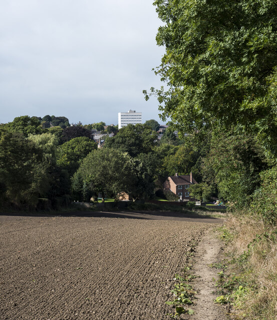
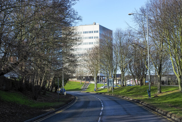
Bishop Auckland is a historic market town located in County Durham, England. Situated about 12 miles away from Durham city, it lies in the picturesque Wear Valley. With a population of approximately 25,000 residents, the town has a rich history dating back to the Roman times.
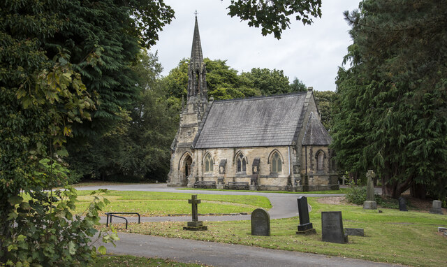
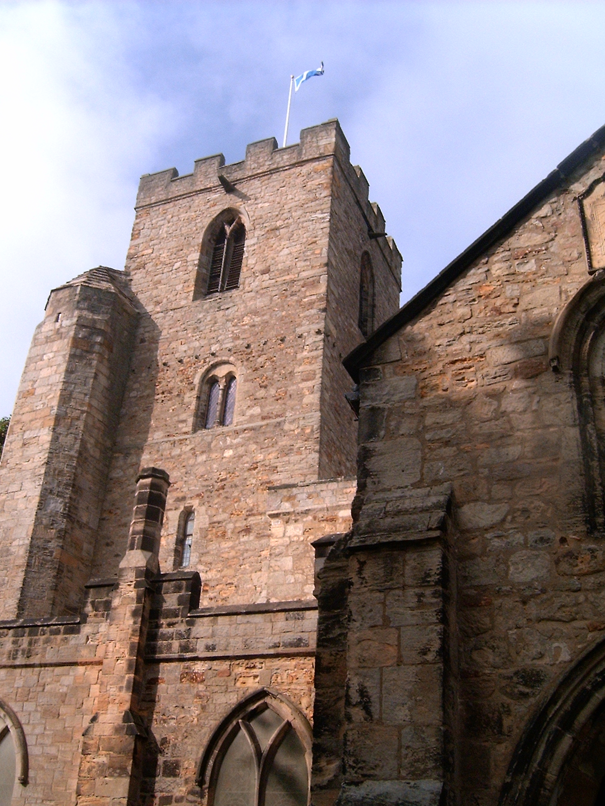
One of the prominent landmarks in Bishop Auckland is Auckland Castle, which has served as the residence of the Prince Bishops of Durham for over 900 years. The castle is surrounded by beautiful gardens and parkland, making it a popular tourist attraction. Additionally, the Auckland Project, a charitable foundation, has been working on restoring and revitalizing the castle and its grounds, attracting further interest to the area.
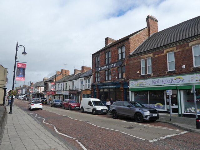
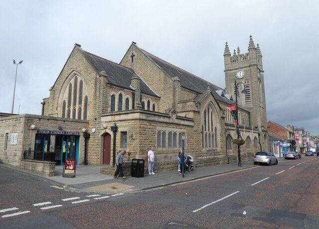
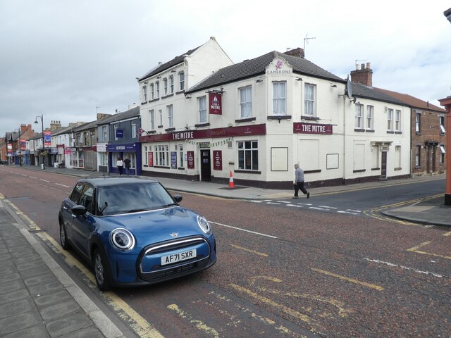
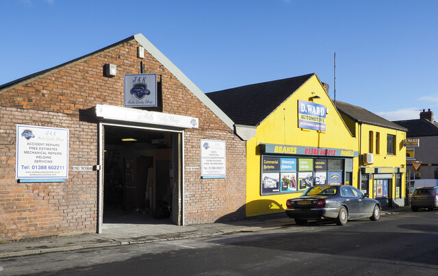
The town center boasts a blend of historical architecture and modern amenities. Market Place is a vibrant hub, hosting regular markets and events. The high street offers a variety of shops, restaurants, and cafes, catering to both locals and visitors.
Bishop Auckland also has a strong cultural scene. The town is home to the Bishop Auckland Town Hall, an iconic venue that hosts a range of performances, including music, theatre, and comedy. Additionally, the annual Bishop Auckland Food Festival attracts food enthusiasts from far and wide, showcasing local produce and culinary talent.
Surrounded by stunning countryside, Bishop Auckland provides ample opportunities for outdoor activities. The nearby Hamsterley Forest offers miles of walking, cycling, and horse-riding trails, while the River Wear provides a picturesque setting for fishing and water activities.
Overall, Bishop Auckland is a charming town, steeped in history, with a vibrant cultural scene and beautiful surroundings, making it an appealing destination for visitors and a delightful place to live.
If you have any feedback on the listing, please let us know in the comments section below.
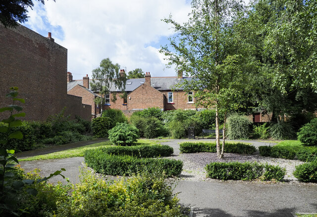
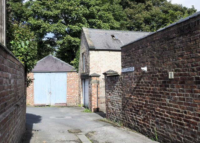
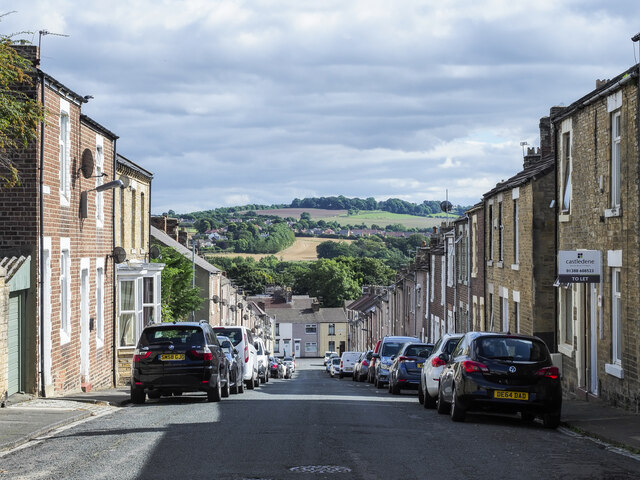
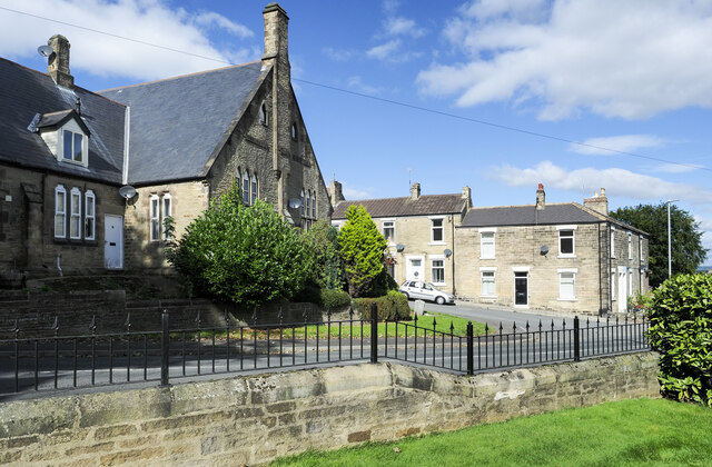
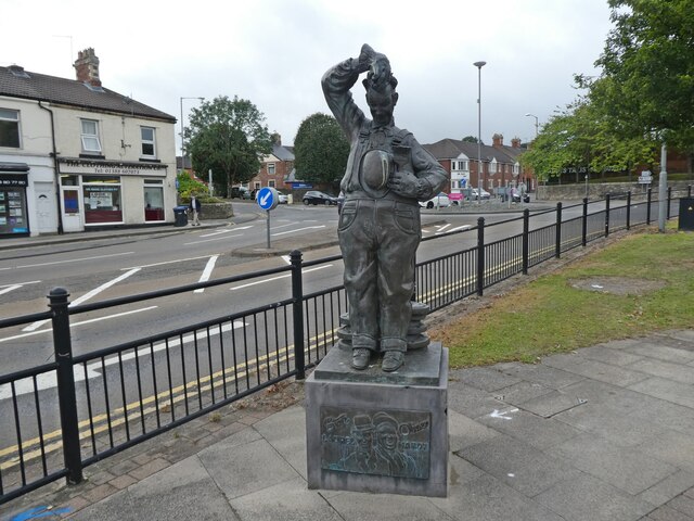
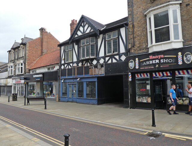
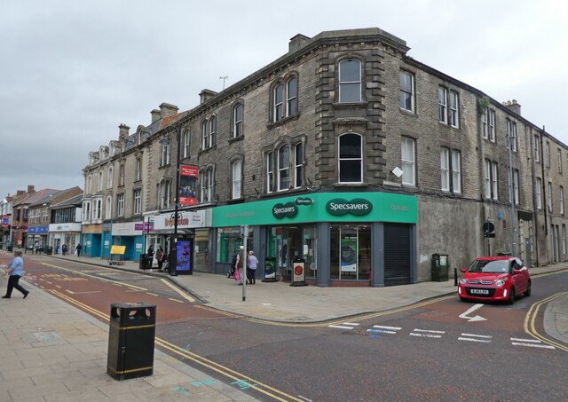
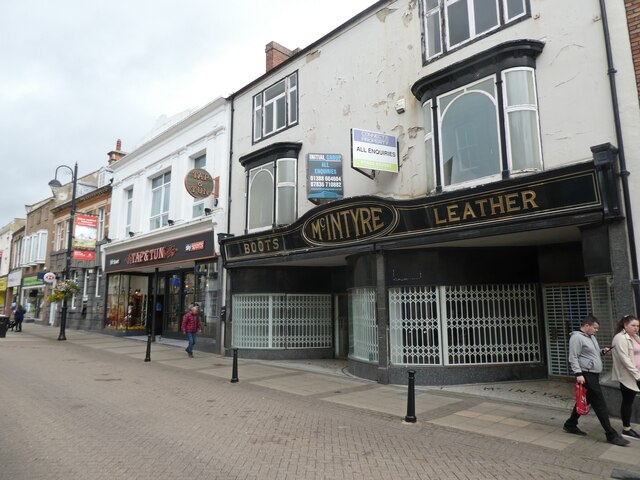
Bishop Auckland Images
Images are sourced within 2km of 54.647125/-1.670658 or Grid Reference NZ2128. Thanks to Geograph Open Source API. All images are credited.
Bishop Auckland is located at Grid Ref: NZ2128 (Lat: 54.647125, Lng: -1.670658)
Unitary Authority: County Durham
Police Authority: Durham
What 3 Words
///lived.crest.ritual. Near Bishop Auckland, Co. Durham
Nearby Locations
Related Wikis
South Church, County Durham
South Church is a village just south of Bishop Auckland in County Durham, England. St Andrew's church is the largest church in County Durham and a Grade...

South Church railway station
South Church railway station was on the Stockton and Darlington Railway. == History == The first section of the Bishop Auckland and Weardale Railway, from...
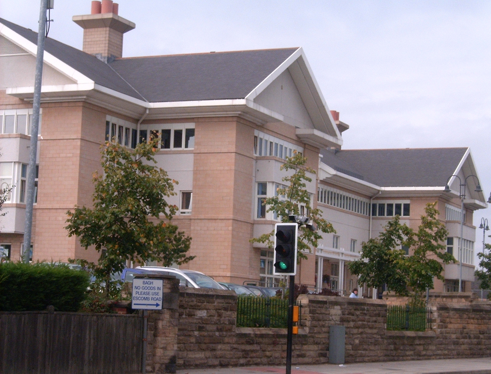
Bishop Auckland Hospital
Bishop Auckland Hospital is a small NHS district general hospital serving the western part of County Durham, with a primarily rural catchment area centred...
Woodhouse Close Estate
Woodhouse Close Estate or locally "Woodhouse" is a post-war former council housing estate, located to the south of Bishop Auckland, County Durham, England...

Bishop Auckland (UK Parliament constituency)
Bishop Auckland is a constituency in County Durham represented in the House of Commons of the UK Parliament since 2019 by Dehenna Davison, a Conservative...
Auckland Park Hospital
Auckland Park Hospital in Bishop Auckland provides psychiatric care to the elderly. It is managed by Tees, Esk and Wear Valleys NHS Foundation Trust....

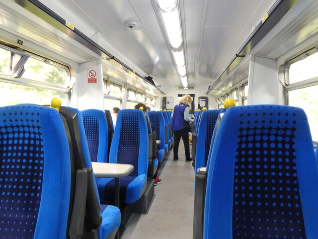
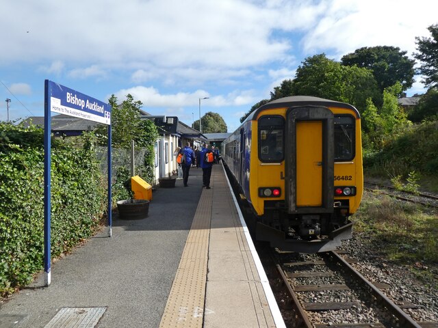
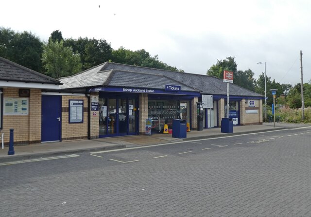
Bishop Auckland railway station
Bishop Auckland is a railway station that serves the market town of Bishop Auckland in County Durham, North East England, 11 miles 77 chains (19.3 km)...

Dene Valley
Dene Valley is a civil parish in County Durham, England. It had a population of 2,478 at the 2011 Census. == References ==
Nearby Amenities
Located within 500m of 54.647125,-1.670658Have you been to Bishop Auckland?
Leave your review of Bishop Auckland below (or comments, questions and feedback).