Bisham

Settlement in Berkshire

England

Bisham

Crowne Plaza access road
Crowne Plaza access road Credit: N Chadwick

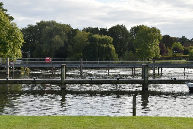
Bisham is a small village located in the county of Berkshire, England. It is situated on the banks of the River Thames, approximately two miles south of the town of Marlow. Bisham is part of the civil parish of Bisham and is known for its picturesque setting and historical significance.

The village is home to Bisham Abbey, a Grade I listed building that was originally founded as a medieval monastery in the 13th century. Over the years, the abbey has been converted into a country house and is currently used as a training facility for the English Institute of Sport. Bisham Abbey is surrounded by beautiful grounds that offer stunning views of the river and the surrounding countryside.

Bisham is also renowned for its sporting facilities, particularly in the field of rowing. The village is home to the National Sports Centre for rowing, which hosts numerous national and international events. The Thames Path, a popular walking route that follows the course of the river, passes through Bisham, attracting outdoor enthusiasts and nature lovers alike.

Despite its small size, Bisham offers a range of amenities to its residents and visitors. The village has a primary school, a church, and a village hall. There are also several pubs and restaurants where visitors can enjoy a meal or a drink while taking in the charming atmosphere of the village.

Overall, Bisham is a quaint and historically significant village that offers a peaceful retreat in the beautiful Berkshire countryside.

If you have any feedback on the listing, please let us know in the comments section below.
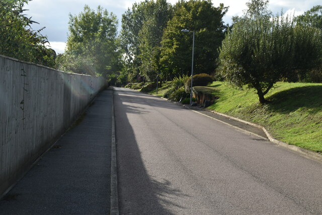
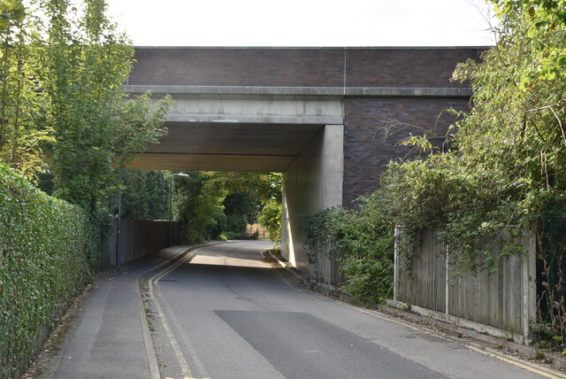
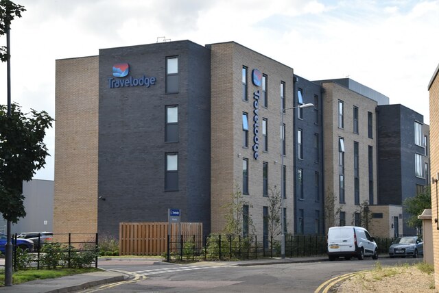
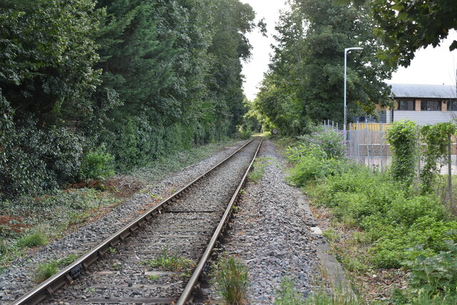
Bisham Images

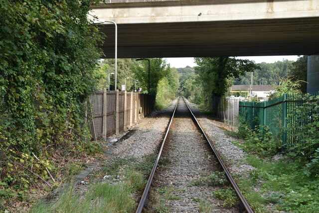
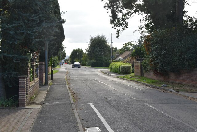
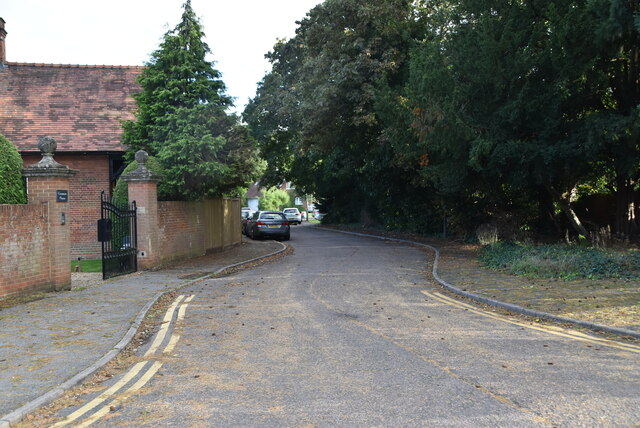
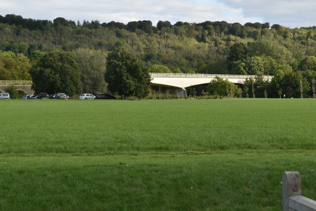
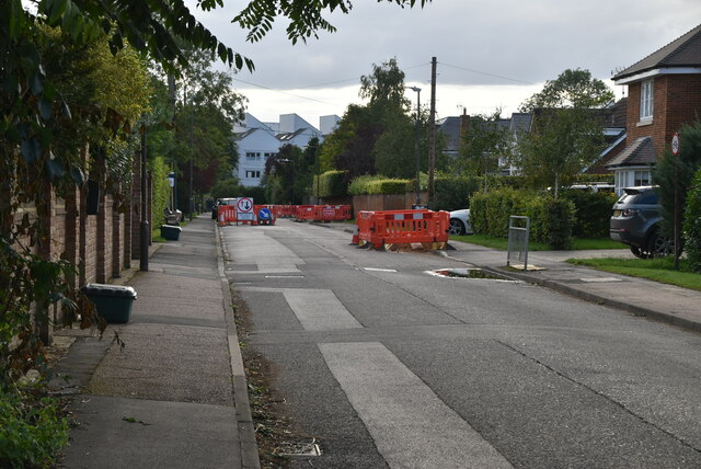
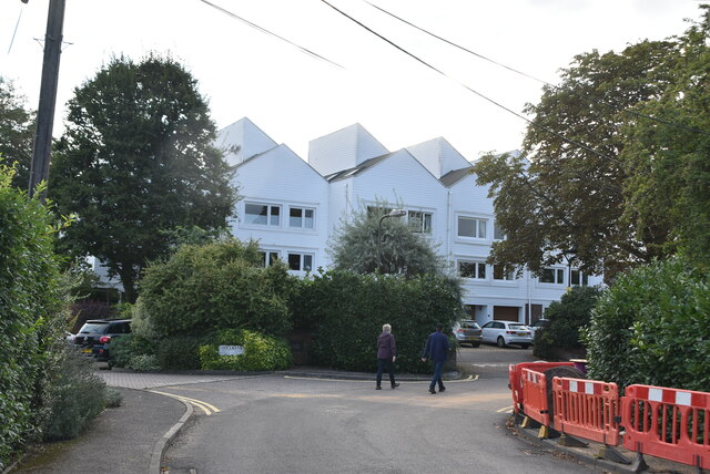
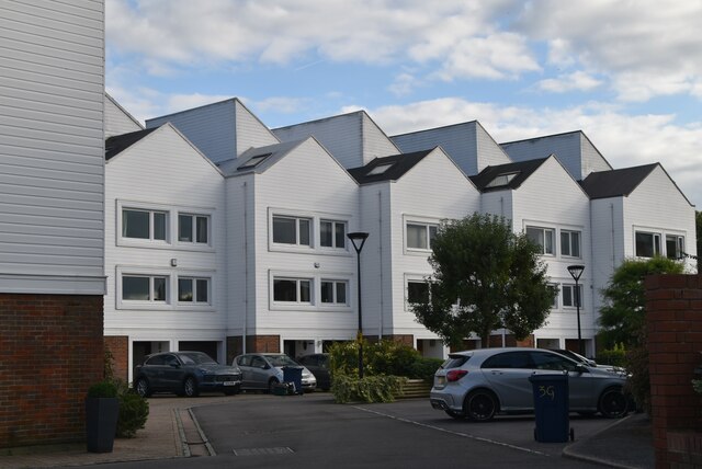
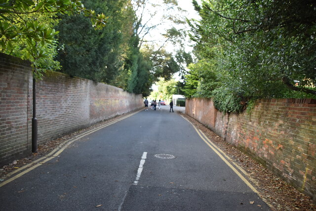
Images are sourced within 2km of 51.557375/-0.775287 or Grid Reference SU8584. Thanks to Geograph Open Source API. All images are credited.

Crowne Plaza access road
A404 bridge
A404 bridge
Travelodge, Marlow Travelodge is the second largest budget hotel chain in the UK, with over 450 budget hotels.
Website: <span class="nowrap"><a title="http://www.travelodge.co.uk/" rel="nofollow ugc noopener" href="http://www.travelodge.co.uk/">Link</a><img style="margin-left:2px;" alt="External link" title="External link - shift click to open in new window" src="https://s1.geograph.org.uk/img/external.png" width="10" height="10"/></span> 
Wikipedia: <span class="nowrap"><a title="http://en.wikipedia.org/wiki/Travelodge_UK" rel="nofollow ugc noopener" href="http://en.wikipedia.org/wiki/Travelodge_UK">Link</a><img style="margin-left:2px;" alt="External link" title="External link - shift click to open in new window" src="https://s1.geograph.org.uk/img/external.png" width="10" height="10"/></span>
Travelodge, Marlow
Travelodge is the second largest budget hotel chain in the UK, with over 450 budget hotels. Website: LinkExternal link Wikipedia: LinkExternal link
Marlow Branch Line The Marlow Branch Line is a 7.25-mile  single track railway line between Maidenhead, Berkshire, Bourne End and Marlow. Passenger services are operated by First Great Western using Class 165 diesel trains. The line connects to the Great Western Main Line at Maidenhead station, and uses a section of the former Wycombe Railway line to High Wycombe together with the former Great Marlow Railway.
Wikipedia: <span class="nowrap"><a title="http://en.wikipedia.org/wiki/Marlow_Branch_Line" rel="nofollow ugc noopener" href="http://en.wikipedia.org/wiki/Marlow_Branch_Line">Link</a><img style="margin-left:2px;" alt="External link" title="External link - shift click to open in new window" src="https://s1.geograph.org.uk/img/external.png" width="10" height="10"/></span>
Marlow Branch Line
The Marlow Branch Line is a 7.25-mile single track railway line between Maidenhead, Berkshire, Bourne End and Marlow. Passenger services are operated by First Great Western using Class 165 diesel trains. The line connects to the Great Western Main Line at Maidenhead station, and uses a section of the former Wycombe Railway line to High Wycombe together with the former Great Marlow Railway. Wikipedia: LinkExternal link
Gossmore Lane
Gossmore Lane
Firview Close
Firview Close
A404 flyover The A404 runs 44 miles from Paddington, London to Maidenhead, via High Wycombe.
<span class="nowrap"><a title="http://www.sabre-roads.org.uk/wiki/index.php?title=A404" rel="nofollow ugc noopener" href="http://www.sabre-roads.org.uk/wiki/index.php?title=A404">Link</a><img style="margin-left:2px;" alt="External link" title="External link - shift click to open in new window" src="https://s1.geograph.org.uk/img/external.png" width="10" height="10"/></span>
A404 flyover
The A404 runs 44 miles from Paddington, London to Maidenhead, via High Wycombe. LinkExternal link
Gossmore Lane
Gossmore Lane
Marlow Mill
Marlow Mill
Marlow Mill
Marlow Mill
Marlow Weir Marlow Lock is a lock and weir situated on the River Thames in the town of Marlow, Buckinghamshire, England. The first pound lock was built by the Thames Navigation Commission in 1773. The present lock dates from 1927.
The weir stretches a long way upstream above the lock.
Marlow Weir
Marlow Lock is a lock and weir situated on the River Thames in the town of Marlow, Buckinghamshire, England. The first pound lock was built by the Thames Navigation Commission in 1773. The present lock dates from 1927. The weir stretches a long way upstream above the lock.
Mill Rd
Mill Rd
Thames Path This National Trail is 184 miles (294 km) long, following the River Thames from its source in the Cotswolds almost to the sea, finishing at the Thames Barrier in Greenwich.
The trail keeps to the banks of the river most of the route.
Website: <span class="nowrap"><a title="http://www.nationaltrail.co.uk/ThamesPath/" rel="nofollow ugc noopener" href="http://www.nationaltrail.co.uk/ThamesPath/">Link</a><img style="margin-left:2px;" alt="External link" title="External link - shift click to open in new window" src="https://s1.geograph.org.uk/img/external.png" width="10" height="10"/></span>
Thames Path
This National Trail is 184 miles (294 km) long, following the River Thames from its source in the Cotswolds almost to the sea, finishing at the Thames Barrier in Greenwich. The trail keeps to the banks of the river most of the route. Website: LinkExternal link
The Two Brewers
The Two Brewers
Old Weir House
Old Weir House
Thames Path This National Trail is 184 miles (294 km) long, following the River Thames from its source in the Cotswolds almost to the sea, finishing at the Thames Barrier in Greenwich.
The trail keeps to the banks of the river most of the route.
Website: <span class="nowrap"><a title="http://www.nationaltrail.co.uk/ThamesPath/" rel="nofollow ugc noopener" href="http://www.nationaltrail.co.uk/ThamesPath/">Link</a><img style="margin-left:2px;" alt="External link" title="External link - shift click to open in new window" src="https://s1.geograph.org.uk/img/external.png" width="10" height="10"/></span>
Thames Path
This National Trail is 184 miles (294 km) long, following the River Thames from its source in the Cotswolds almost to the sea, finishing at the Thames Barrier in Greenwich. The trail keeps to the banks of the river most of the route. Website: LinkExternal link
Show me another place!

Bisham is located at Grid Ref: SU8584 (Lat: 51.557375, Lng: -0.775287)

Unitary Authority: Windsor and Maidenhead

Police Authority: Thames Valley

What 3 Words

///issuer.prickly.rucksack. Near Bisham, Berkshire

Related Wikis

Bisham

Bisham is a village and civil parish in the Royal Borough of Windsor and Maidenhead in Berkshire, England. The village is on the River Thames, around...
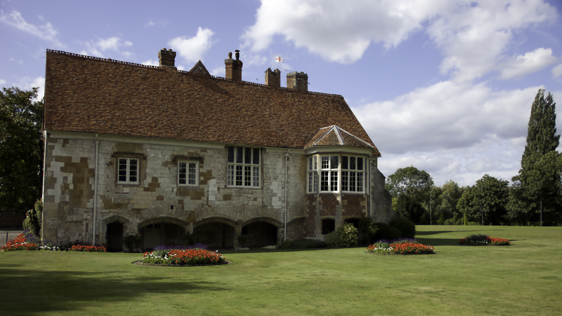
Bisham Abbey

Bisham Abbey is a Grade I listed manor house at Bisham in the English county of Berkshire. The name is taken from the now lost monastery which once stood...

Bisham Woods

Bisham Woods is an 86-hectare (210-acre) biological Site of Special Scientific Interest (SSSI) west of Cookham in Berkshire. The site is also a Local Nature...

Bradnam Wood

Bradnam Wood is a 12.5-hectare (31-acre) Local Nature Reserve west of Maidenhead in Berkshire. It is owned by the Royal Borough of Windsor and Maidenhead...

Nearby Amenities

Located within 500m of 51.557375,-0.775287
Turning Circle
Lat/Long: 51.5582067/-0.7736054
Created By: Merkaartor 0.13
Lat/Long: 51.5591168/-0.7810377
Created By: Merkaartor 0.13
Lat/Long: 51.5602111/-0.7801151
Bus Stop
Bull PH
Alt Name: Bisham Abbey;Bisham Abbey;National Sports Centre
Bus: yes
Local Ref: NR
Naptan AltCommonName: Bisham Abbey;National Sports Centre
Naptan AltStreet: Not Specified;Not Specified
Naptan AtcoCode: 036006001421
Naptan Bearing: SW
Naptan CommonName: Bull PH
Naptan Indicator: nr
Naptan Landmark: Bisham Court
Naptan NaptanCode: winapgd
Naptan Street: Marlow Road
Naptan Verified: no
Public Transport: platform
Shelter: no
Source: naptan_import
Lat/Long: 51.5572693/-0.7753684
Bus Stop
Bull PH
Alt Name: Bisham Abbey;Bisham Abbey;National Sports Centre
Bus: yes
Naptan AltCommonName: Bisham Abbey;National Sports Centre
Naptan AltStreet: Not Specified;Not Specified
Naptan AtcoCode: 036006002421
Naptan Bearing: NE
Naptan BusStopType: CUS
Naptan CommonName: Bull PH
Naptan Indicator: opp
Naptan Landmark: Bisham Court
Naptan NaptanCode: winagma
Naptan Street: Marlow Road
Naptan Verified: no
Public Transport: platform
Shelter: no
Source: naptan_import
Lat/Long: 51.5576846/-0.7751611
Mini Roundabout
Lat/Long: 51.5573259/-0.7765371
Bisham Abbey National Sports Center
Addr City: Bisham
Addr Postcode: SL7 1RU
Leisure: sports_centre
Toilets Wheelchair: yes
Website: https://www.bishamabbeynsc.co.uk/
Wheelchair: yes
Wheelchair Description: Athletic fields, gym, hotel, restaurant, coffee shop.
Lat/Long: 51.5563414/-0.7778206
Bench
Lat/Long: 51.5571984/-0.7822998
Bench
Lat/Long: 51.5596139/-0.7806422
Bench
Lat/Long: 51.5602/-0.7801567
Direction: 110
Generator Method: photovoltaic
Generator Output Electricity: yes
Generator Solar Modules: 12
Generator Source: solar
Generator Type: solar_photovoltaic_panel
Location: roof
Power: generator
Lat/Long: 51.5585677/-0.774296
Direction: 170
Generator Method: photovoltaic
Generator Output Electricity: yes
Generator Solar Modules: 197
Generator Source: solar
Generator Type: solar_photovoltaic_panel
Location: roof
Power: generator
Lat/Long: 51.5562637/-0.7780108
Material: wood
Power: pole
Lat/Long: 51.5589073/-0.7688344
Power: pole
Lat/Long: 51.5580733/-0.7704239
Power: pole
Lat/Long: 51.5573062/-0.7719091
Power: pole
Lat/Long: 51.556473/-0.7735357
Material: wood
Power: pole
Lat/Long: 51.5552364/-0.7750136
Power: pole
Lat/Long: 51.5537713/-0.7767168
The data included in this document is from www.openstreetmap.org. The data is made available under ODbL.

Have you been to Bisham?

Leave your review of Bisham below (or comments, questions and feedback).