Pont-Hwfa

Settlement in Anglesey

Wales

Pont-Hwfa

Class 67 locomotive at Holyhead The setting sun sees 67025 on the rear of the recently arrived 'Premier Service' from Cardiff Central. The Premier Service runs from Holyhead - Cardiff in the morning, returning in the evening, and gives an increased level of comfort (and prior to suspension due to Covid-19 an increased dining provision) for travel between North Wales and the Welsh Capital using locomotive hauled coaching stock rather than Diesel Multiple Units. the coaching stock is currently being upgraded with ex LNER Mark IV coaches replacing the Mk III coaches previously in use.
Class 67 locomotive at Holyhead Credit: David Robinson

Pont-Hwfa is a small village located on the island of Anglesey in North Wales. It is situated in the community of Llandyfrydog, approximately 4 miles northeast of the town of Llangefni. The village is nestled in a picturesque rural setting, surrounded by rolling hills and lush green fields.

Pont-Hwfa is known for its charming and tranquil atmosphere, making it an ideal destination for those seeking a peaceful retreat. The village offers a range of amenities for both residents and visitors, including a local pub and a community center. There are also several walking trails in the area, allowing visitors to explore the stunning countryside.

One of the notable features of Pont-Hwfa is the stone bridge after which the village is named. Pont-Hwfa, meaning "bridge over the Hwfa," crosses the Afon Hwfa river, adding to the village's quaint and idyllic charm. The bridge is a popular spot for photographers and nature enthusiasts.

The village is conveniently located for exploring the wider attractions of Anglesey. The nearby town of Llangefni offers a variety of shops, restaurants, and cultural attractions, including the Oriel Ynys Môn art gallery. The stunning coastline of Anglesey is also within easy reach, offering opportunities for beach walks, water sports, and wildlife spotting.

Overall, Pont-Hwfa is a delightful and peaceful village in Anglesey, offering a tranquil retreat and easy access to the natural beauty and attractions of the island.

If you have any feedback on the listing, please let us know in the comments section below.
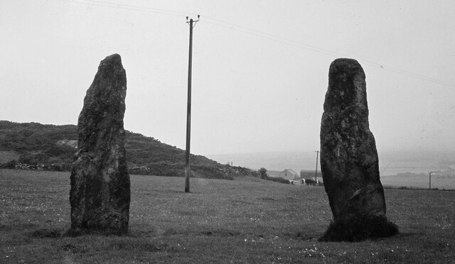
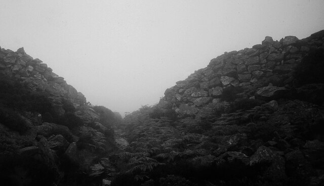
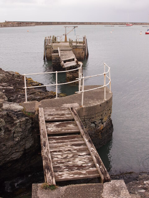
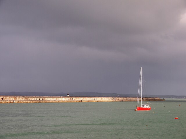
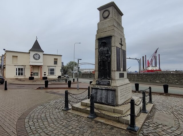
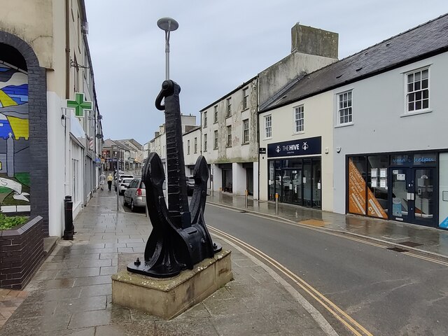
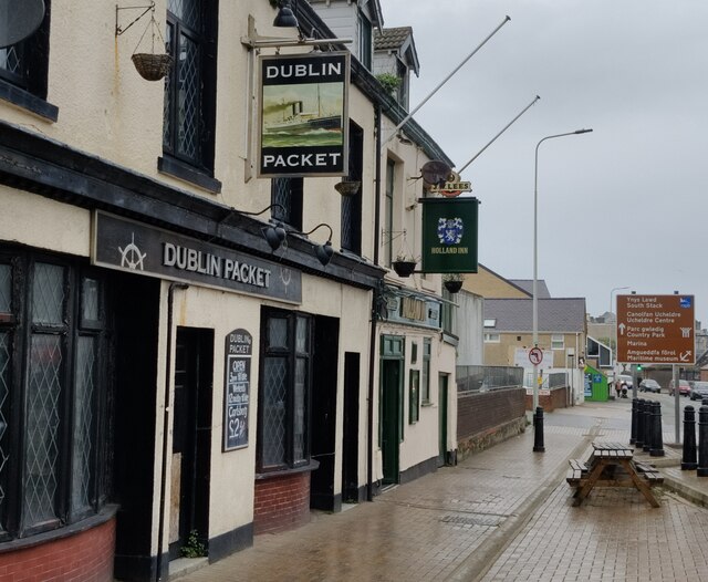
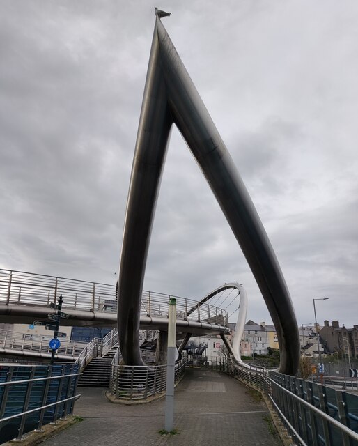
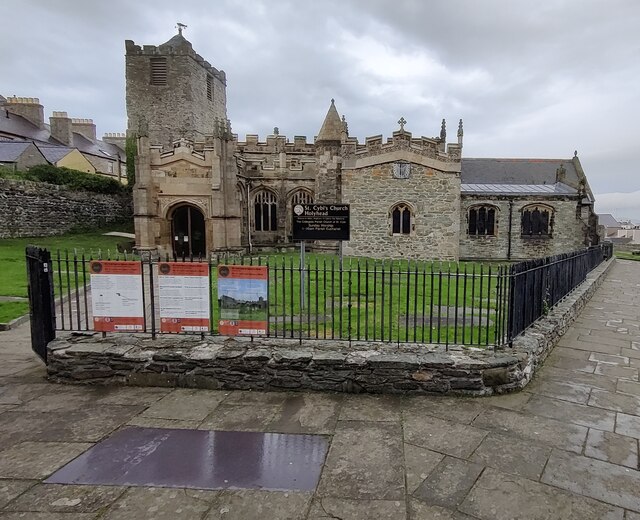
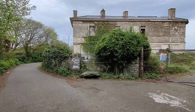
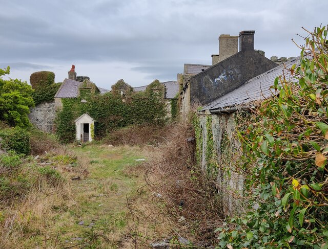
Pont-Hwfa Images

Images are sourced within 2km of 53.309505/-4.649942 or Grid Reference SH2382. Thanks to Geograph Open Source API. All images are credited.

Class 67 locomotive at Holyhead The setting sun sees 67025 on the rear of the recently arrived 'Premier Service' from Cardiff Central. The Premier Service runs from Holyhead - Cardiff in the morning, returning in the evening, and gives an increased level of comfort (and prior to suspension due to Covid-19 an increased dining provision) for travel between North Wales and the Welsh Capital using locomotive hauled coaching stock rather than Diesel Multiple Units. the coaching stock is currently being upgraded with ex LNER Mark IV coaches replacing the Mk III coaches previously in use.
Class 67 locomotive at Holyhead
The setting sun sees 67025 on the rear of the recently arrived 'Premier Service' from Cardiff Central. The Premier Service runs from Holyhead - Cardiff in the morning, returning in the evening, and gives an increased level of comfort (and prior to suspension due to Covid-19 an increased dining provision) for travel between North Wales and the Welsh Capital using locomotive hauled coaching stock rather than Diesel Multiple Units. the coaching stock is currently being upgraded with ex LNER Mark IV coaches replacing the Mk III coaches previously in use.
Holyhead Maritime Museum Former lifeboat house, circa 1850s. A Grade II Listed Building.
Rubble with freestone dressings and copings (but mainly rendered and painted), slate roof. Aligned roughly N-S with gable and facing sea. Shaped gables (similar to Holyhead market hall) with ball finials; former broad doorways covered during conversion to restaurant (added bay window to N). Long shallow extension to W side; attached gabled range to NE. Some remains of slipway mechanism to seaward side.
Believed to be the oldest surviving lifeboat house in Wales.
** Courtesy British Listed Buildings.
Holyhead Maritime Museum
Former lifeboat house, circa 1850s. A Grade II Listed Building. Rubble with freestone dressings and copings (but mainly rendered and painted), slate roof. Aligned roughly N-S with gable and facing sea. Shaped gables (similar to Holyhead market hall) with ball finials; former broad doorways covered during conversion to restaurant (added bay window to N). Long shallow extension to W side; attached gabled range to NE. Some remains of slipway mechanism to seaward side. Believed to be the oldest surviving lifeboat house in Wales. ** Courtesy British Listed Buildings.
Prehistoric Stone Pair at Penrhos Feilw <span class="nowrap"><a title="https://www.megalithic.co.uk/article.php?sid=1496" rel="nofollow ugc noopener" href="https://www.megalithic.co.uk/article.php?sid=1496">Link</a><img style="margin-left:2px;" alt="External link" title="External link - shift click to open in new window" src="https://s1.geograph.org.uk/img/external.png" width="10" height="10"/></span>
Prehistoric Stone Pair at Penrhos Feilw
Caer y Twy Fort Entrance <span class="nowrap"><a title="https://www.megalithic.co.uk/article.php?sid=5955" rel="nofollow ugc noopener" href="https://www.megalithic.co.uk/article.php?sid=5955">Link</a><img style="margin-left:2px;" alt="External link" title="External link - shift click to open in new window" src="https://s1.geograph.org.uk/img/external.png" width="10" height="10"/></span>
Caer y Twy Fort Entrance
Derelict Jetty Below Porth-y-felin House
Holyhead Breakwater
Holyhead Breakwater
War memorial in Holyhead At the junction of Victoria Road and Market Street.
War memorial in Holyhead
At the junction of Victoria Road and Market Street.
Anchor along Market Street in Holyhead This anchor was presented to the town of Holyhead by the Stena Sealink Line in 1992.
Anchor along Market Street in Holyhead
This anchor was presented to the town of Holyhead by the Stena Sealink Line in 1992.
Two pubs in Holyhead The Dublin Packet and the Holland Inn on Rhos-y-Gaer Terrace.
Two pubs in Holyhead
The Dublin Packet and the Holland Inn on Rhos-y-Gaer Terrace.
The Celtic Gateway The Celtic Gateway is a stainless steel pedestrian and cycle bridge, it was opened on 19th October 2006. It connects Holyhead's railway station and ferry terminal with the Market Street in the town centre. It crosses the Old Holyhead Harbour, the North Wales coastal railway line and the A5154 road, it is 160-metre (520 feet) in length.
The Celtic Gateway
The Celtic Gateway is a stainless steel pedestrian and cycle bridge, it was opened on 19th October 2006. It connects Holyhead's railway station and ferry terminal with the Market Street in the town centre. It crosses the Old Holyhead Harbour, the North Wales coastal railway line and the A5154 road, it is 160-metre (520 feet) in length.
Part of the Celtic Gateway The Celtic Gateway is a stainless steel pedestrian and cycle bridge, it was opened on 19th October 2006. It connects Holyhead's railway station and ferry terminal with the Market Street in the town centre. It crosses the Old Holyhead Harbour, the North Wales coastal railway line and the A5154 road, it is 160-metre (520 feet) in length.
Part of the Celtic Gateway
The Celtic Gateway is a stainless steel pedestrian and cycle bridge, it was opened on 19th October 2006. It connects Holyhead's railway station and ferry terminal with the Market Street in the town centre. It crosses the Old Holyhead Harbour, the North Wales coastal railway line and the A5154 road, it is 160-metre (520 feet) in length.
Artwork on the Celtic Gateway The Celtic Gateway is a stainless steel pedestrian and cycle bridge, it was opened on 19th October 2006. It connects Holyhead's railway station and ferry terminal with the Market Street in the town centre. It crosses the Old Holyhead Harbour, the North Wales coastal railway line and the A5154 road, it is 160-metre (520 feet) in length.
Artwork on the Celtic Gateway
The Celtic Gateway is a stainless steel pedestrian and cycle bridge, it was opened on 19th October 2006. It connects Holyhead's railway station and ferry terminal with the Market Street in the town centre. It crosses the Old Holyhead Harbour, the North Wales coastal railway line and the A5154 road, it is 160-metre (520 feet) in length.
St. Cybi's Church in Holyhead
Dutch navy memorial The memorial overlooks the Outer Harbour at Newry Beach. The memorial, created in 2014, commemorates the presence of a section of the Dutch Navy in Holyhead during the Second World War.
Dutch navy memorial
The memorial overlooks the Outer Harbour at Newry Beach. The memorial, created in 2014, commemorates the presence of a section of the Dutch Navy in Holyhead during the Second World War.
Rocky shoreline at Porth-y-Felin
Derelict Porth-y-felin House Porth-y-felin House, originally known as Government House, was built in about 1849, it was used by the resident engineer of Holyhead breakwater. It was also used for some years as the harbourmasters residence. It is a Grade II listed building.
Derelict Porth-y-felin House
Porth-y-felin House, originally known as Government House, was built in about 1849, it was used by the resident engineer of Holyhead breakwater. It was also used for some years as the harbourmasters residence. It is a Grade II listed building.
Derelict Soldier's Point House Built in 1849, the Soldier's Point House was formerly the residence of the Government contractor for the construction of the nearby Holyhead breakwater. In about 1950 it became a hotel but then fell into disuse around the turn of the twenty-first century, and was then seriously damaged by a fire in 2011. It has been Grade II listed since July 1994.
<a href="https://www.geograph.org.uk/photo/2602243">SH2383 : Soldier's Point House</a>, same view of the house before the fire in 2011.
Derelict Soldier's Point House
Built in 1849, the Soldier's Point House was formerly the residence of the Government contractor for the construction of the nearby Holyhead breakwater. In about 1950 it became a hotel but then fell into disuse around the turn of the twenty-first century, and was then seriously damaged by a fire in 2011. It has been Grade II listed since July 1994. SH2383 : Soldier's Point House, same view of the house before the fire in 2011.
Derelict outbuildings at Soldier's Point House Built in 1849, the Soldier's Point House was formerly the residence of the Government contractor for the construction of the nearby Holyhead breakwater. In about 1950 it became a hotel but then fell into disuse around the turn of the twenty-first century, and was then seriously damaged by a fire in 2011. It has been Grade II listed since July 1994.
Derelict outbuildings at Soldier's Point House
Built in 1849, the Soldier's Point House was formerly the residence of the Government contractor for the construction of the nearby Holyhead breakwater. In about 1950 it became a hotel but then fell into disuse around the turn of the twenty-first century, and was then seriously damaged by a fire in 2011. It has been Grade II listed since July 1994.
Show me another place!

Pont-Hwfa is located at Grid Ref: SH2382 (Lat: 53.309505, Lng: -4.649942)

Unitary Authority: Isle of Anglesey

Police Authority: North Wales

Also known as: Pont Hwfa

What 3 Words

///responds.deflated.potato. Near Holyhead, Isle of Anglesey

Related Wikis

Pont-Hwfa

Pont-Hwfa (also Pont Hwfa) is a village in the community of Holyhead, Anglesey, Wales, which is 140.8 miles (226.6 km) from Cardiff and 227.5 miles (366...

Ysgol Uwchradd Caergybi

Ysgol Uwchradd Caergybi is a secondary school in Holyhead, Anglesey. It claims to be the first comprehensive school in England and Wales, opening in 1949...

Gors, Anglesey

Gors is an area in the community of Trearddur, Anglesey, Wales, which is 140.8 miles (226.6 km) from Cardiff and 227.9 miles (366.8 km) from London....

Ucheldre Centre

The Ucheldre Centre is an arts centre located in Holyhead, Anglesey, Wales. == Architecture == Formerly, it was the chapel building of Holyhead's Bon Sauveur...

Nearby Amenities

Located within 500m of 53.309505,-4.649942
Barrier: bollard
Lat/Long: 53.3108733/-4.6502028
Turning Circle
Lat/Long: 53.3115768/-4.6489166
Noexit: yes
Lat/Long: 53.312245/-4.6494409
Power: substation
Lat/Long: 53.30998/-4.645346
Power: substation
Lat/Long: 53.311334/-4.651791
Power: substation
Lat/Long: 53.309169/-4.648574
Power: substation
Lat/Long: 53.309809/-4.650636
Direction: SW
Generator Method: photovoltaic
Generator Output Electricity: yes
Generator Solar Modules: 11
Generator Source: solar
Generator Type: solar_photovoltaic_panel
Location: roof
Power: generator
Lat/Long: 53.3083467/-4.6472072
Direction: 125
Generator Method: photovoltaic
Generator Output Electricity: yes
Generator Solar Modules: 16
Generator Source: solar
Generator Type: solar_photovoltaic_panel
Location: roof
Power: generator
Lat/Long: 53.3098496/-4.6494663
Direction: 125
Generator Method: photovoltaic
Generator Output Electricity: yes
Generator Solar Modules: 16
Generator Source: solar
Generator Type: solar_photovoltaic_panel
Location: roof
Power: generator
Lat/Long: 53.3095996/-4.649825
Direction: 125
Generator Method: photovoltaic
Generator Output Electricity: yes
Generator Solar Modules: 16
Generator Source: solar
Generator Type: solar_photovoltaic_panel
Location: roof
Power: generator
Lat/Long: 53.3093928/-4.6494871
Direction: SE
Generator Method: photovoltaic
Generator Output Electricity: yes
Generator Solar Modules: 16
Generator Source: solar
Generator Type: solar_photovoltaic_panel
Location: roof
Power: generator
Lat/Long: 53.3118728/-4.6549555
Direction: SSW
Generator Method: photovoltaic
Generator Output Electricity: yes
Generator Solar Modules: 16
Generator Source: solar
Generator Type: solar_photovoltaic_panel
Location: roof
Power: generator
Lat/Long: 53.3119345/-4.6555676
Direction: SSE
Generator Method: photovoltaic
Generator Output Electricity: yes
Generator Solar Modules: 3
Generator Source: solar
Generator Type: solar_photovoltaic_panel
Location: roof
Power: generator
Lat/Long: 53.3100239/-4.6510671
Direction: 170
Generator Method: photovoltaic
Generator Output Electricity: yes
Generator Solar Modules: 4
Generator Source: solar
Generator Type: solar_photovoltaic_panel
Location: roof
Power: generator
Lat/Long: 53.3107865/-4.6446928
Direction: 170
Generator Method: photovoltaic
Generator Output Electricity: yes
Generator Solar Modules: 4
Generator Source: solar
Generator Type: solar_photovoltaic_panel
Location: roof
Power: generator
Lat/Long: 53.3107737/-4.6447894
Direction: 125
Generator Method: photovoltaic
Generator Output Electricity: yes
Generator Solar Modules: 6
Generator Source: solar
Generator Type: solar_photovoltaic_panel
Location: roof
Power: generator
Lat/Long: 53.3099099/-4.6496442
Direction: SSE
Generator Method: photovoltaic
Generator Output Electricity: yes
Generator Solar Modules: 11
Generator Source: solar
Generator Type: solar_photovoltaic_panel
Location: roof
Power: generator
Lat/Long: 53.3100267/-4.6509923
Direction: 170
Generator Method: photovoltaic
Generator Output Electricity: yes
Generator Solar Modules: 4
Generator Source: solar
Generator Type: solar_photovoltaic_panel
Location: roof
Power: generator
Lat/Long: 53.3107641/-4.6448967
Direction: 170
Generator Method: photovoltaic
Generator Output Electricity: yes
Generator Solar Modules: 4
Generator Source: solar
Generator Type: solar_photovoltaic_panel
Location: roof
Power: generator
Lat/Long: 53.3107566/-4.6449881
Direction: 170
Generator Method: photovoltaic
Generator Output Electricity: yes
Generator Solar Modules: 4
Generator Source: solar
Generator Type: solar_photovoltaic_panel
Location: roof
Power: generator
Lat/Long: 53.3107496/-4.6451008
Direction: 170
Generator Method: photovoltaic
Generator Output Electricity: yes
Generator Solar Modules: 4
Generator Source: solar
Generator Type: solar_photovoltaic_panel
Location: roof
Power: generator
Lat/Long: 53.3107401/-4.6451902
Direction: 170
Generator Method: photovoltaic
Generator Output Electricity: yes
Generator Solar Modules: 4
Generator Source: solar
Generator Type: solar_photovoltaic_panel
Location: roof
Power: generator
Lat/Long: 53.3107293/-4.6453224
Direction: 170
Generator Method: photovoltaic
Generator Output Electricity: yes
Generator Solar Modules: 4
Generator Source: solar
Generator Type: solar_photovoltaic_panel
Location: roof
Power: generator
Lat/Long: 53.3107196/-4.6454416
Direction: 170
Generator Method: photovoltaic
Generator Output Electricity: yes
Generator Solar Modules: 4
Generator Source: solar
Generator Type: solar_photovoltaic_panel
Location: roof
Power: generator
Lat/Long: 53.3107108/-4.6455491
Direction: 170
Generator Method: photovoltaic
Generator Output Electricity: yes
Generator Solar Modules: 4
Generator Source: solar
Generator Type: solar_photovoltaic_panel
Location: roof
Power: generator
Lat/Long: 53.3107032/-4.6456423
Direction: 170
Generator Method: photovoltaic
Generator Output Electricity: yes
Generator Solar Modules: 4
Generator Source: solar
Generator Type: solar_photovoltaic_panel
Location: roof
Power: generator
Lat/Long: 53.3106936/-4.6457335
Direction: 170
Generator Method: photovoltaic
Generator Output Electricity: yes
Generator Solar Modules: 4
Generator Source: solar
Generator Type: solar_photovoltaic_panel
Location: roof
Power: generator
Lat/Long: 53.3106808/-4.6458489
Direction: SE
Generator Method: photovoltaic
Generator Output Electricity: yes
Generator Solar Modules: 8
Generator Source: solar
Generator Type: solar_photovoltaic_panel
Location: roof
Power: generator
Lat/Long: 53.3118935/-4.6543193
Direction: 305
Generator Method: photovoltaic
Generator Output Electricity: yes
Generator Solar Modules: 4
Generator Source: solar
Generator Type: solar_photovoltaic_panel
Location: roof
Power: generator
Lat/Long: 53.3104772/-4.6465871
Direction: 125
Generator Method: photovoltaic
Generator Output Electricity: yes
Generator Solar Modules: 4
Generator Source: solar
Generator Type: solar_photovoltaic_panel
Location: roof
Power: generator
Lat/Long: 53.3104656/-4.6465644
Direction: 215
Generator Method: photovoltaic
Generator Output Electricity: yes
Generator Solar Modules: 8
Generator Source: solar
Generator Type: solar_photovoltaic_panel
Location: roof
Power: generator
Lat/Long: 53.3104949/-4.6465355
Direction: SSE
Generator Method: photovoltaic
Generator Output Electricity: yes
Generator Solar Modules: 4
Generator Source: solar
Generator Type: solar_photovoltaic_panel
Location: roof
Power: generator
Lat/Long: 53.3105317/-4.6497729
Direction: 125
Generator Method: photovoltaic
Generator Output Electricity: yes
Generator Solar Modules: 6
Generator Source: solar
Generator Type: solar_photovoltaic_panel
Location: roof
Power: generator
Lat/Long: 53.3099256/-4.6503302
Direction: 185
Generator Method: photovoltaic
Generator Output Electricity: yes
Generator Solar Modules: 16
Generator Source: solar
Generator Type: solar_photovoltaic_panel
Location: roof
Power: generator
Lat/Long: 53.3096583/-4.6477137
Direction: 145
Generator Method: photovoltaic
Generator Output Electricity: yes
Generator Solar Modules: 16
Generator Source: solar
Generator Type: solar_photovoltaic_panel
Location: roof
Power: generator
Lat/Long: 53.3111483/-4.6462167
The data included in this document is from www.openstreetmap.org. The data is made available under ODbL.

Have you been to Pont-Hwfa?

Leave your review of Pont-Hwfa below (or comments, questions and feedback).