Birtley Green
Settlement in Surrey Waverley
England
Birtley Green
Birtley Green is a small village located in the county of Surrey, England. It is situated approximately 35 miles southwest of Central London and is part of the borough of Guildford. The village is surrounded by picturesque countryside, with the Surrey Hills Area of Outstanding Natural Beauty lying to the east.
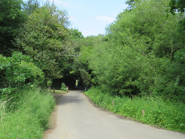
Birtley Green is known for its peaceful and rural atmosphere, making it an attractive place for those seeking a tranquil lifestyle away from the hustle and bustle of city living. The village is characterized by its quaint cottages, many of which are built with traditional Surrey flint and have thatched roofs.
Despite its small size, Birtley Green boasts a strong sense of community. The local residents often organize various events and activities throughout the year, fostering a close-knit and friendly environment. There is a village hall that serves as a hub for community gatherings and events, providing a space for socializing and promoting local initiatives.
The village is surrounded by beautiful countryside, offering numerous opportunities for outdoor activities such as hiking, cycling, and horse riding. Nearby attractions include the historic Loseley Park, a stunning Elizabethan manor house and gardens that provide a glimpse into the area's rich heritage.
While Birtley Green may not have its own shops or amenities, it is conveniently located close to neighboring villages and towns that offer a range of services, including shops, schools, and healthcare facilities. The village is well-connected to the wider region via a network of roads, making it easily accessible for commuters or those wishing to explore the surrounding areas.
Overall, Birtley Green is a charming and idyllic village that offers a peaceful and picturesque setting for its residents, with access to both rural beauty and nearby amenities.
If you have any feedback on the listing, please let us know in the comments section below.
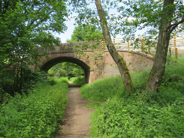
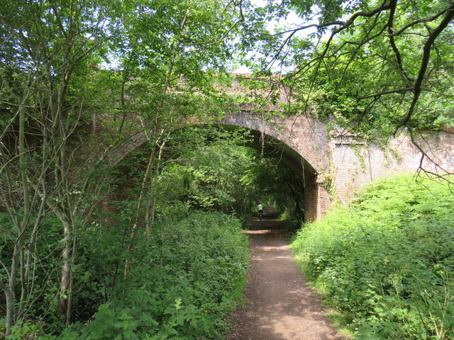
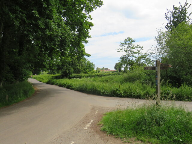
Birtley Green Images
Images are sourced within 2km of 51.179659/-0.546407 or Grid Reference TQ0143. Thanks to Geograph Open Source API. All images are credited.


Birtley Green is located at Grid Ref: TQ0143 (Lat: 51.179659, Lng: -0.546407)
Administrative County: Surrey
District: Waverley
Police Authority: Surrey
What 3 Words
///landed.tins.closet. Near Bramley, Surrey
Nearby Locations
Related Wikis

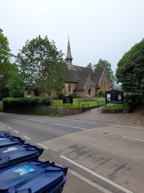
Christ Church, Shamley Green
Christ Church is a Church of England parish church in Shamley Green, Surrey, England. It was constructed in 1863 as a chapel of ease and became a parish...
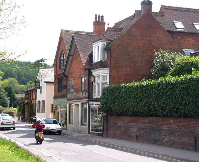
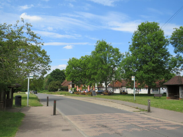
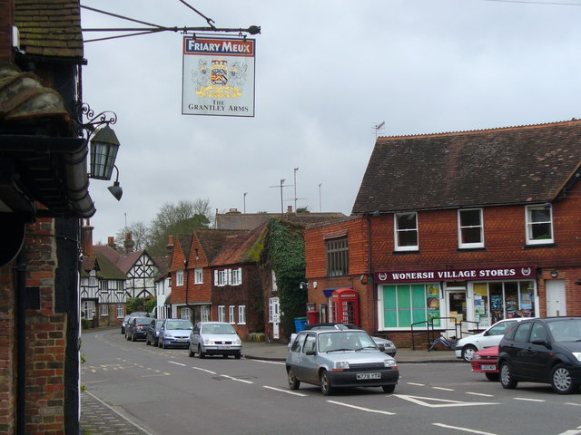
Bramley, Surrey
Bramley is a village and civil parish about three miles (5 km) south of Guildford in the Borough of Waverley in Surrey, south east England. Most of the...
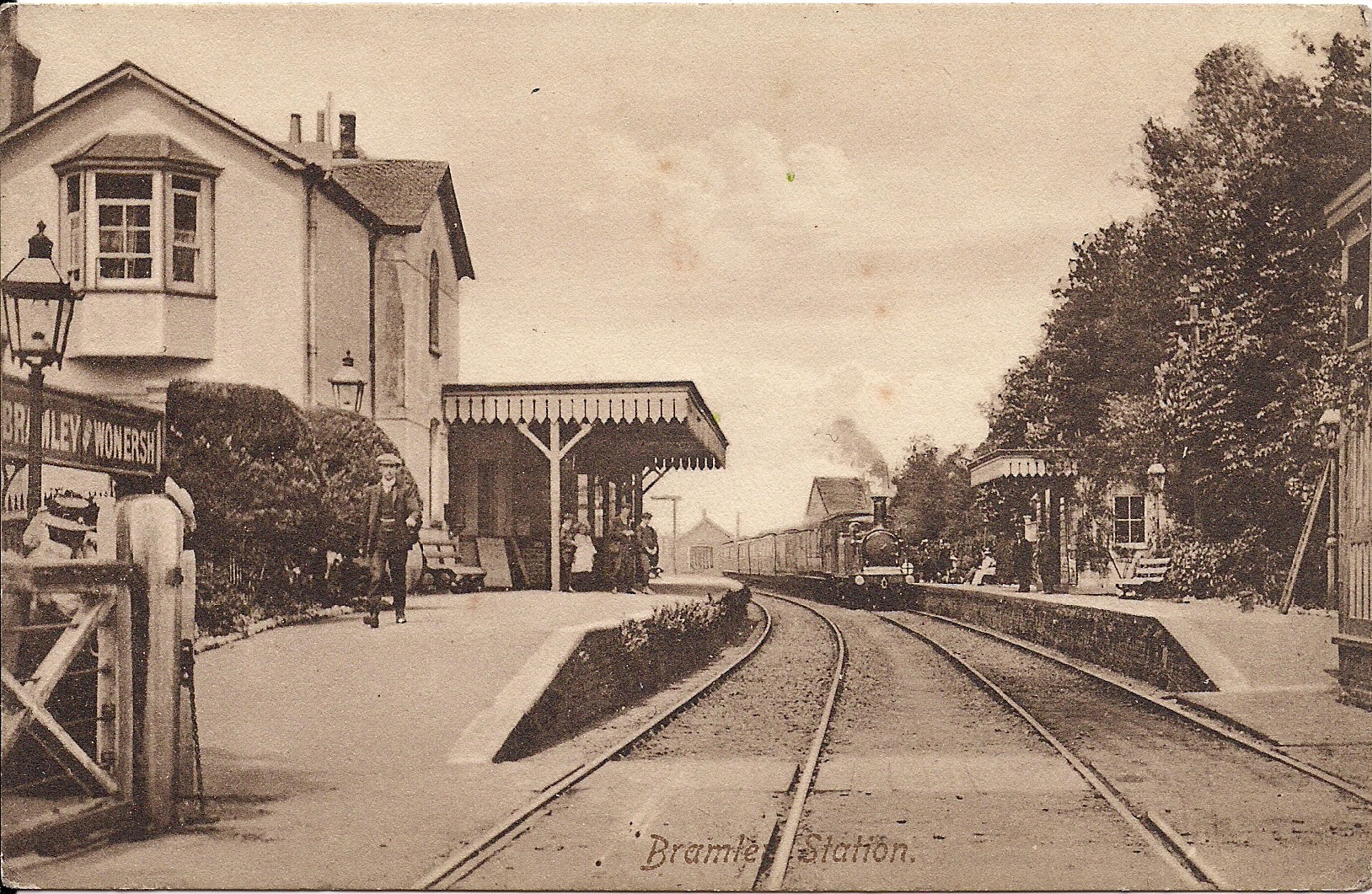
Bramley & Wonersh railway station
Bramley & Wonersh was a railway station on the Cranleigh Line. It served the villages of Bramley and Wonersh in Surrey. == History == Opened in 1865 as...
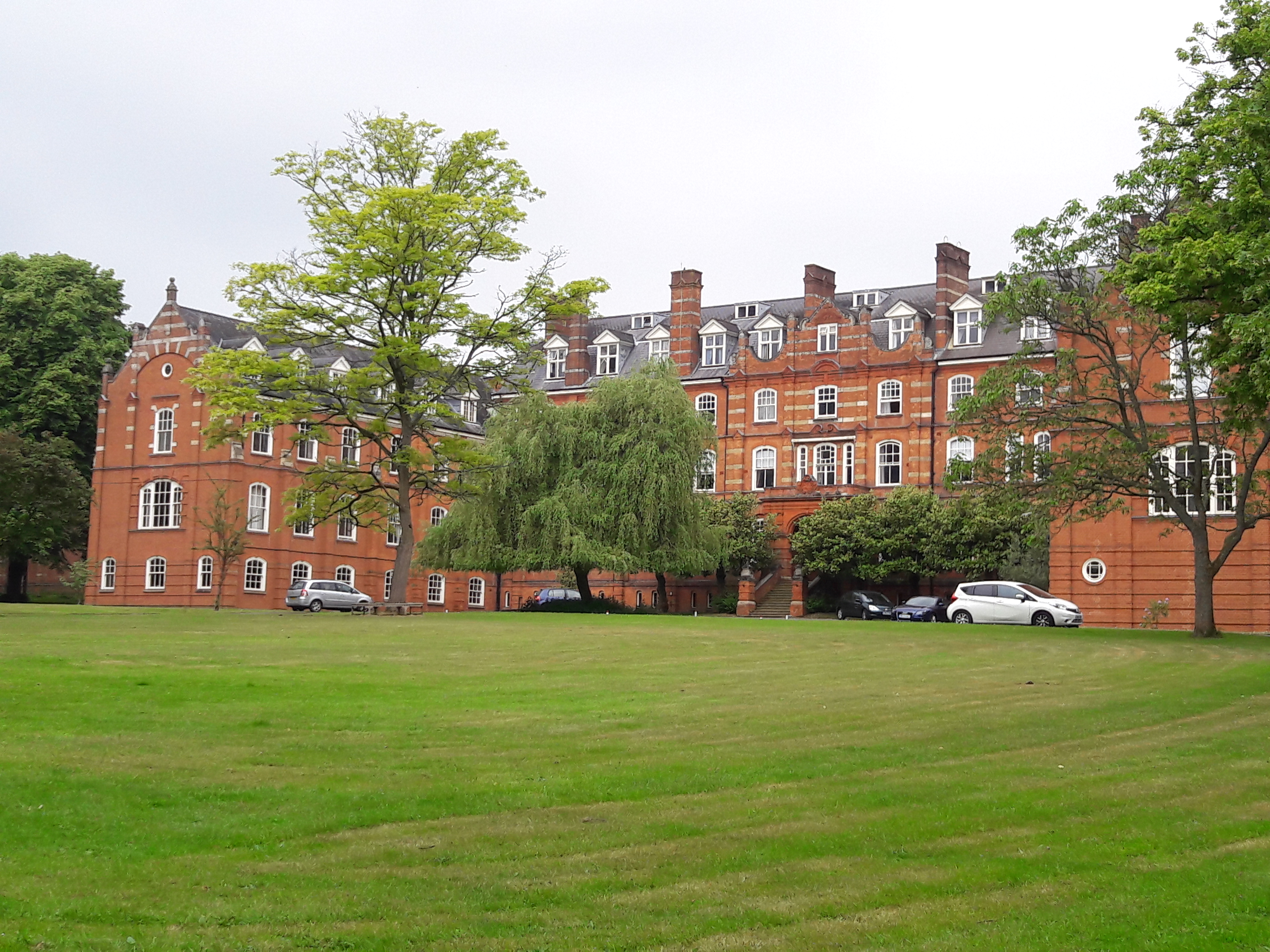
St John's Seminary, Wonersh
St John's Seminary was a Roman Catholic seminary located at Wonersh near Guildford in Surrey, in the Diocese of Arundel and Brighton, United Kingdom. St...
Wonersh
Wonersh is a village and civil parish in the Waverley district of Surrey, England and Surrey Hills Area of Outstanding Natural Beauty. Wonersh contains...
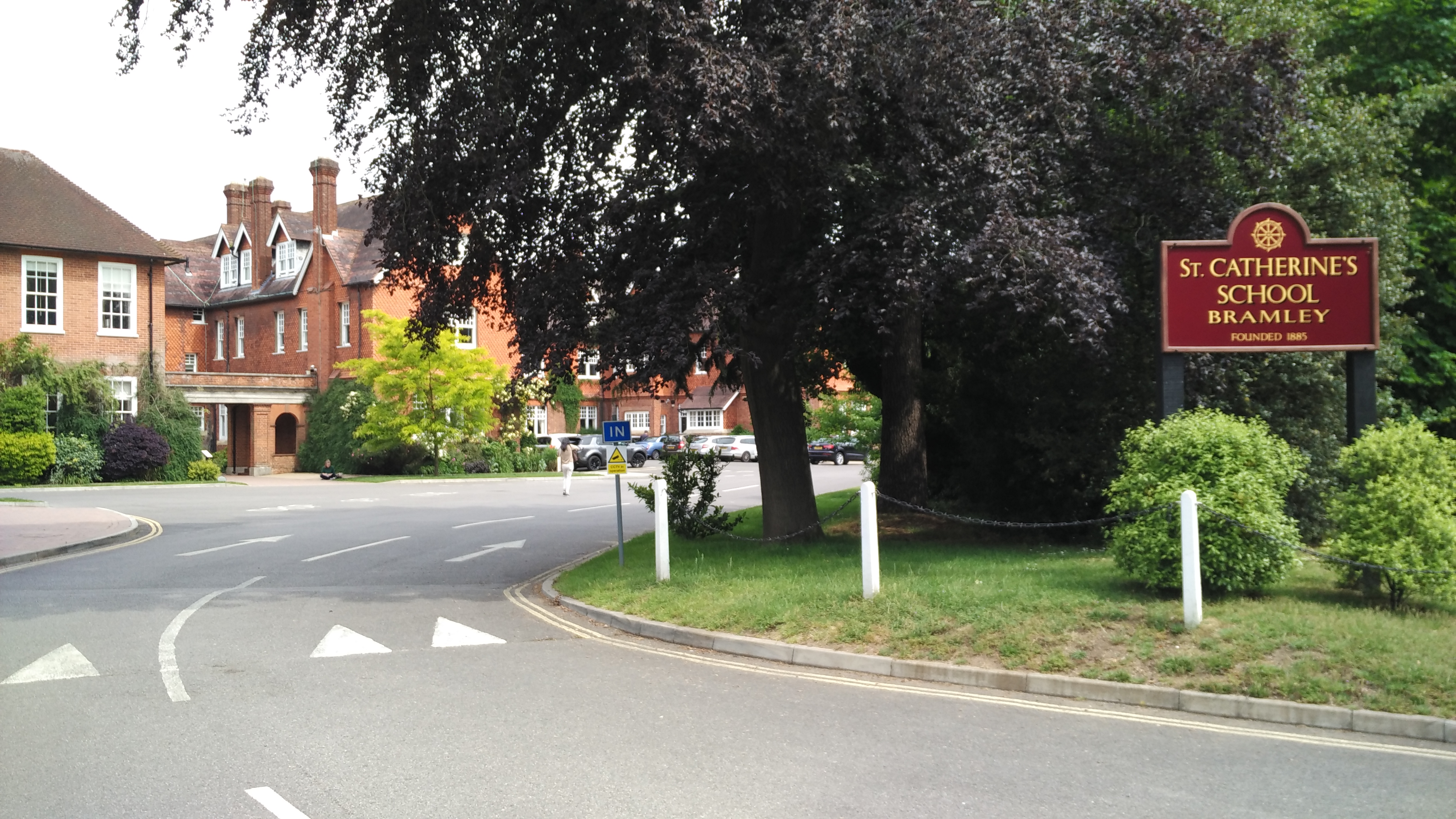
St Catherine's School, Bramley
St Catherine's School is an independent girls' boarding and day school in the village of Bramley, near Guildford, Surrey, England. The school is divided...

Cucknell's Wood
Cucknell's Wood is a 11-hectare (27-acre) nature reserve south-east of Shamley Green in Surrey. It is managed by the Surrey Wildlife Trust.Birds in this...

Orchards, Surrey
Orchards is an Arts and Crafts style house in Bramley in Surrey, England. It is on Bramley's boundary with Busbridge and 1 mile (1.6 km) south-east of...
Nearby Amenities
Located within 500m of 51.179659,-0.546407Have you been to Birtley Green?
Leave your review of Birtley Green below (or comments, questions and feedback).