Birstwith

Settlement in Yorkshire Harrogate

England

Birstwith

Fields and Farms near Birstwith Hall
Fields and Farms Credit: Malcolm Street

The requested URL returned error: 429 Too Many Requests

If you have any feedback on the listing, please let us know in the comments section below.
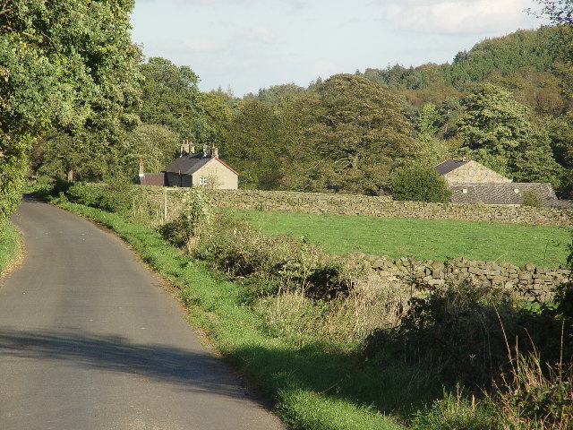
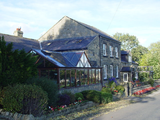
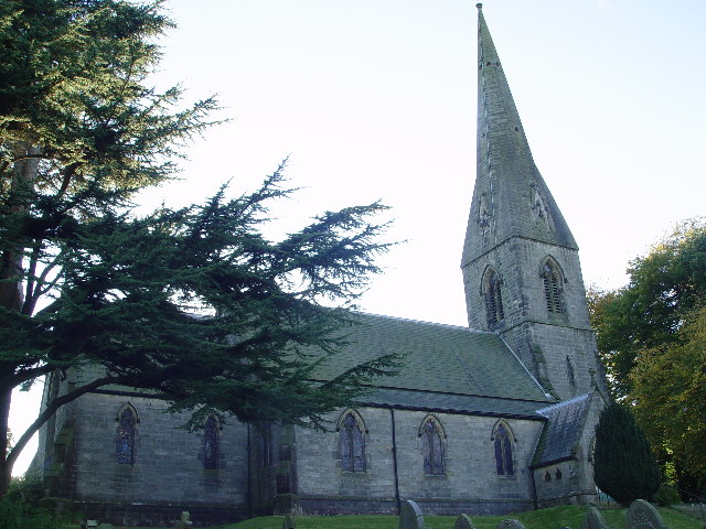
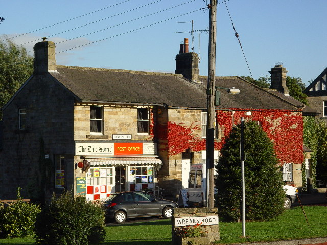
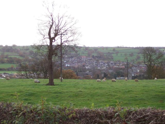
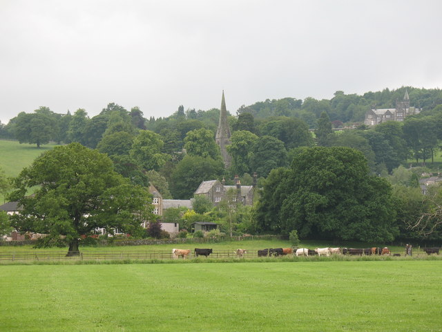
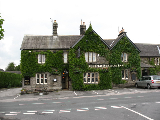
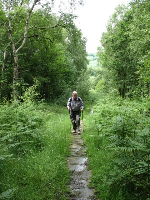
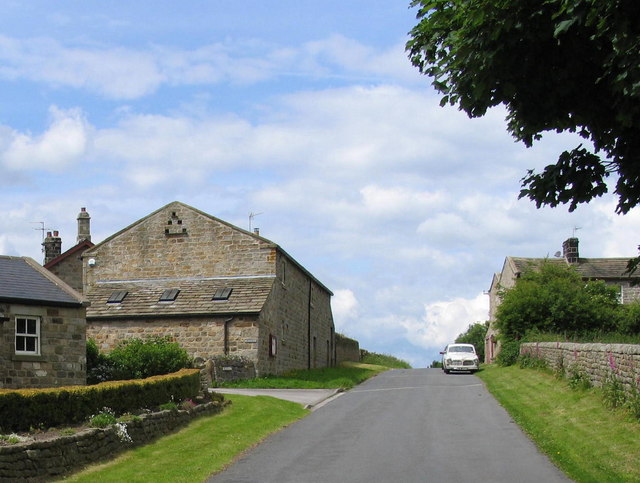
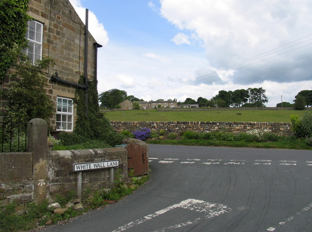
Birstwith Images

Images are sourced within 2km of 54.031218/-1.635834 or Grid Reference SE2359. Thanks to Geograph Open Source API. All images are credited.
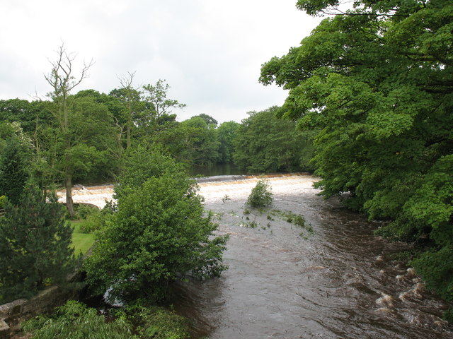
Fields and Farms near Birstwith Hall
Fields and Farms
near Birstwith Hall
Rehoboth Chapel (disused) now much extended and converted into an impressive house.
Rehoboth Chapel (disused)
now much extended and converted into an impressive house.
St James's Church, Birstwith
Birstwith Post Office & General Store
Bridleway to Swarcliffe Bridleway leading upwards through Wilsons Plantation towards Swarcliffe, from the Darley/Birstwith Road beside the River Nidd
Bridleway to Swarcliffe
Bridleway leading upwards through Wilsons Plantation towards Swarcliffe, from the Darley/Birstwith Road beside the River Nidd
Hampsthwaite looking south from Clint
View across playing fields at Birstwith The goalposts have been taken down for the summer, so there is a clear view of grazing cattle and the village church on the hill.
View across playing fields at Birstwith
The goalposts have been taken down for the summer, so there is a clear view of grazing cattle and the village church on the hill.
Mill race, Birstwith The mill race flows from the weir on the Nidd to Birstwith Mill [seen here] which now produces animal feeds.
Mill race, Birstwith
The mill race flows from the weir on the Nidd to Birstwith Mill [seen here] which now produces animal feeds.
Old Station Inn, Birstwith Village pub in Birstwith, only a few yards from the site of the former railway station.
Old Station Inn, Birstwith
Village pub in Birstwith, only a few yards from the site of the former railway station.
Birstwith weir. The weir at Birstwith is one of many on the River Nidd. This one maintains the water level for the mill race.
Birstwith weir.
The weir at Birstwith is one of many on the River Nidd. This one maintains the water level for the mill race.
Path through Swarcliffe Wood This appears to be a very old route in lower Nidderdale as the path is largely paved with slabs of sandstone.
Path through Swarcliffe Wood
This appears to be a very old route in lower Nidderdale as the path is largely paved with slabs of sandstone.
Hamlet of Swincliffe Go West up Swincliffe Top towards Tang.
Hamlet of Swincliffe
Go West up Swincliffe Top towards Tang.
Birstwith Hall Tang Beck runs through the grounds of Birstwith Hall.
Birstwith Hall
Tang Beck runs through the grounds of Birstwith Hall.
Tang Hamlet Looking towards Grange Farm from Bridge Mill House on the corner of Tang Road and White Wall Lane.
Tang Hamlet
Looking towards Grange Farm from Bridge Mill House on the corner of Tang Road and White Wall Lane.
Fields in Swarcliffe Footpath crossing fields from Swarcliffe Top to Cinder Hills.
Fields in Swarcliffe
Footpath crossing fields from Swarcliffe Top to Cinder Hills.
Group of Trees at Swarcliffe Top Pastoral Scene in Swarcliffe, Nidderdale.
Group of Trees at Swarcliffe Top
Pastoral Scene in Swarcliffe, Nidderdale.
Reynard Crag Lane No Through Road in the scattered community of Swarcliffe.
Reynard Crag Lane
No Through Road in the scattered community of Swarcliffe.
Field near Hew Green The footpath hugs the field boundary on its journey from Birstwith Hall to Swarcliffe Top.
Field near Hew Green
The footpath hugs the field boundary on its journey from Birstwith Hall to Swarcliffe Top.
Show me another place!

Birstwith is located at Grid Ref: SE2359 (Lat: 54.031218, Lng: -1.635834)

Division: West Riding

Administrative County: North Yorkshire

District: Harrogate

Police Authority: North Yorkshire

What 3 Words

///downcast.films.downfield. Near Harrogate, North Yorkshire

Nearby Locations

Birstwith

Related Wikis

Birstwith

Birstwith is a village and civil parish in the Harrogate district of North Yorkshire, England. It is part of the Nidderdale, and is situated on the River...
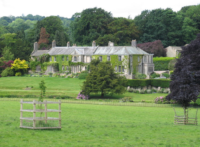
Swarcliffe Hall

Swarcliffe Hall is a large hall that was constructed in 1800 in Birstwith, near Harrogate, England. The current house was built by John Greenwood in 1850...

Birstwith railway station

Birstwith railway station served the village of Birstwith, North Yorkshire, England from 1862 to 1964 on the Nidd Valley Railway. == History == The station...

Clint, North Yorkshire

Clint is a village in Nidderdale in North Yorkshire, England. It lies on the north bank of the River Nidd, 4 miles north-west of Harrogate. Clint is...

Nearby Amenities

Located within 500m of 54.031218,-1.635834
Birstwith
Place: village
Wikidata: Q2010147
Wikipedia: en:Birstwith
Lat/Long: 54.0316263/-1.6316334
Created By: Merkaartor 0.12
Lat/Long: 54.0269853/-1.6334813
Post Office
Birstwith Post Office
Addr City: Harrogate
Addr Postcode: HG3 2NF
Addr Suburb: Birstwith
Branch: Birstwith
Brand: Post Office
Brand Wikidata: Q1783168
Check Date: 2020-02-20
Contact Website: https://www.postoffice.co.uk/branch-finder/366323x/birstwith
Ref Pol Id: 13891
Lat/Long: 54.0310631/-1.634176
Bench
Lat/Long: 54.0312545/-1.636279
School
Belmont Grosvenor School
Wikidata: Q66138525
Lat/Long: 54.0302085/-1.6419331
Waterway: weir
Lat/Long: 54.0334908/-1.6295766
Bus Stop
Bus: yes
Naptan AtcoCode: 3200YND24730
Naptan NaptanCode: 32024730
Public Transport: platform
Shelter: yes
Lat/Long: 54.0308422/-1.6340502
Bus Stop
Bus: yes
Naptan AtcoCode: 3200YND24120
Naptan NaptanCode: 32024120
Public Transport: platform
Shelter: no
Lat/Long: 54.030788/-1.6342475
Post Box
Operator: Royal Mail
Post Box Type: wall
Royal Cypher: GR
Royal Cypher Wikidata: Q33102273
Lat/Long: 54.0309966/-1.6341902
Defibrillator
Defibrillator Location: outside Birstwith Post Office (Dales Stores)
Emergency: defibrillator
Indoor: no
Lat/Long: 54.0310811/-1.634219
Bus: yes
Public Transport: stop_position
Lat/Long: 54.0307728/-1.6341186
Barrier: stile
Lat/Long: 54.0347716/-1.6323687
Telephone
Booth: K6
Covered: booth
Phone: +44 1423 770411
Lat/Long: 54.0308253/-1.6339917
The data included in this document is from www.openstreetmap.org. The data is made available under ODbL.

Have you been to Birstwith?

Leave your review of Birstwith below (or comments, questions and feedback).