Pode Hole
Settlement in Lincolnshire South Holland
England
Pode Hole
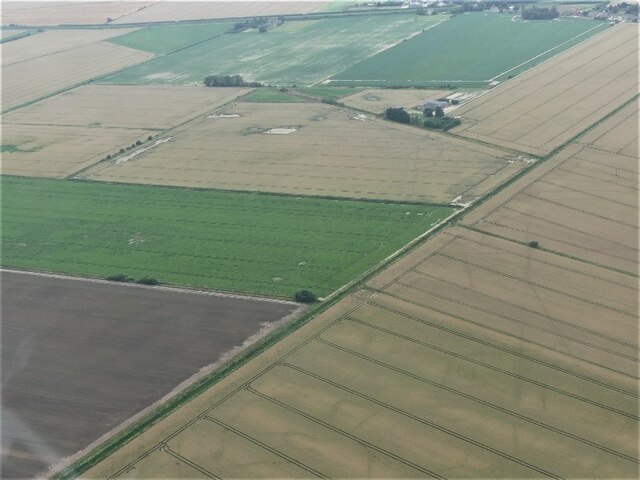
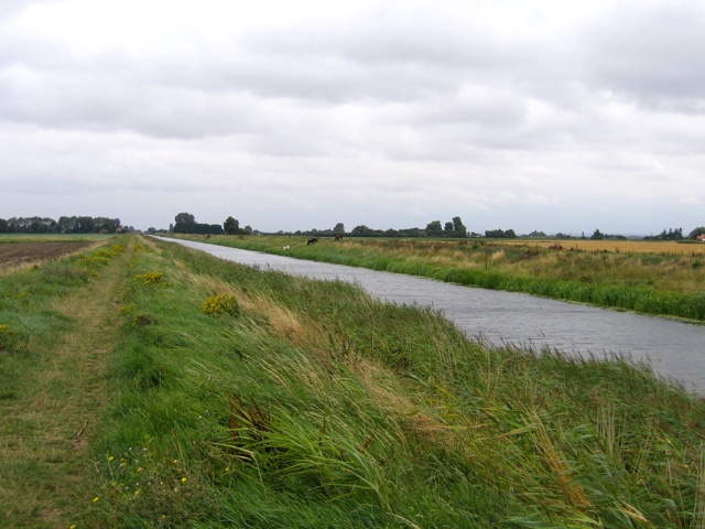
Pode Hole is a small village located in the county of Lincolnshire, England. Situated approximately 3 miles east of the market town of Spalding, it falls within the administrative district of South Holland. The village is nestled in the heart of the Fens, an area known for its flat and fertile agricultural land.
Pode Hole is home to a relatively small population, with around 200 residents according to the latest estimates. The village is predominantly residential, consisting mainly of traditional brick-built houses and cottages. The surrounding countryside is characterized by vast fields and meadows, which contribute to the rural charm of the area.
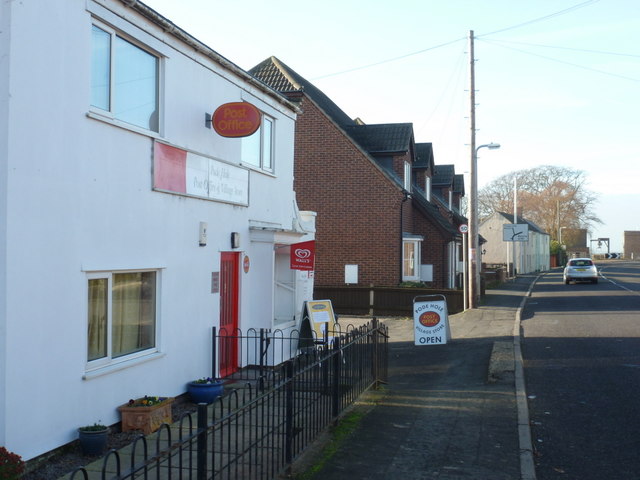
Despite its small size, Pode Hole has a few amenities to cater to its residents' needs. These include a local pub, which serves as a social hub for the community, and a primary school providing education for the village's children. Additionally, the nearby town of Spalding offers a wider range of amenities, including shops, supermarkets, and further educational facilities.
The village benefits from its proximity to the A16 road, which provides easy access to nearby towns and cities such as Peterborough and Boston. This makes Pode Hole an attractive residential location for those seeking a peaceful countryside lifestyle while still having access to urban amenities.
Overall, Pode Hole is a picturesque and close-knit village that offers a tranquil setting for its residents within the beautiful Lincolnshire countryside.
If you have any feedback on the listing, please let us know in the comments section below.
Pode Hole Images
Images are sourced within 2km of 52.78063/-0.200053 or Grid Reference TF2121. Thanks to Geograph Open Source API. All images are credited.


Pode Hole is located at Grid Ref: TF2121 (Lat: 52.78063, Lng: -0.200053)
Division: Parts of Holland
Administrative County: Lincolnshire
District: South Holland
Police Authority: Lincolnshire
What 3 Words
///cloud.duke.adjust. Near Spalding, Lincolnshire
Nearby Locations
Related Wikis
Pode Hole
Pode Hole is a village in South Holland, Lincolnshire, England. It is 2 miles (3.2 km) from Spalding and a similar distance from Bourne. The village lies...

North Drove railway station
North Drove railway station was a station serving Pode Hole in Lincolnshire, England. It was on the route of the Spalding and Bourne Railway (opened 1866...

New River (Fens)
The New River is a drainage system in the South Holland district of Lincolnshire, England. Rising just east of Sisson's Farm near Crowland it flows very...
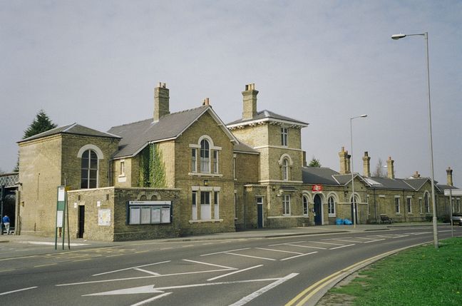
Spalding railway station
Spalding railway station serves the town of Spalding, Lincolnshire, England. It lies on the Peterborough–Lincoln line. == History == Spalding gained its...

Spalding Grammar School
Spalding Grammar School (SGS), fully known as The Queen Elizabeth Royal Free Grammar School Spalding, is an 11–18 boys' grammar school in Spalding, Lincolnshire...

Spalding Sessions House
Spalding Sessions House is a judicial structure in the Sheep Market in Spalding, Lincolnshire, England. The structure, which used to be the main courthouse...

Spalding, Lincolnshire
Spalding () is a market town on the River Welland in the South Holland district of Lincolnshire, England. The town had a population of 34,113 at the 2017...

Spalding bus station
Spalding bus station is a bus station in Spalding, Lincolnshire. It is owned and operated by South Holland District Council. == History == Plans for the...
Nearby Amenities
Located within 500m of 52.78063,-0.200053Have you been to Pode Hole?
Leave your review of Pode Hole below (or comments, questions and feedback).