Birleyhay

Settlement in Derbyshire North East Derbyshire

England

Birleyhay

View to "The Fox and Hounds", Marsh Lane
View to "The Fox and Hounds", Marsh Lane Credit: Neil Theasby

Birleyhay is a small village located in the county of Derbyshire, England. It lies approximately 8 miles northeast of the city of Derby and is situated within the Amber Valley district. The village is nestled in a picturesque rural setting, surrounded by rolling hills and fields, offering residents and visitors a tranquil and peaceful environment.

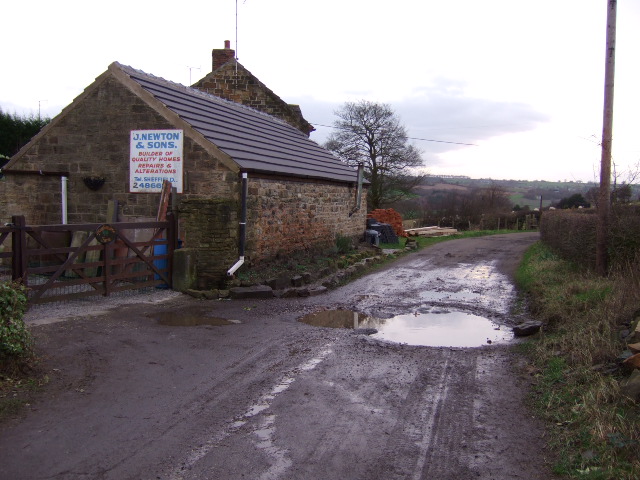
Birleyhay is a tight-knit community that boasts a population of around 500 people. The village is predominantly residential, with a mix of traditional stone-built cottages and more modern housing developments. The architecture reflects the area's rich history, with several historic buildings and structures still standing, adding to the village's character and charm.

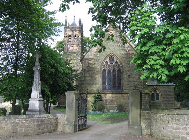
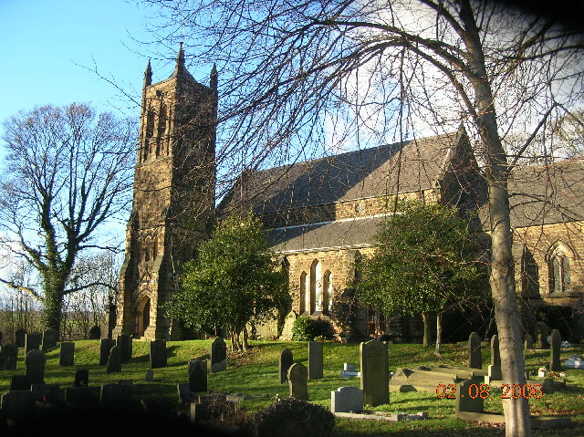
One of the notable features of Birleyhay is the presence of a village church, St. Peter's Church, which dates back to the 12th century. The church serves as a focal point for the community and hosts various events and religious services throughout the year.

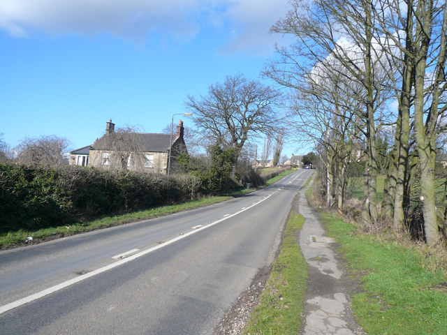
Despite its small size, Birleyhay benefits from excellent transport links. The A610 road runs nearby, connecting the village to surrounding towns and cities, making it convenient for commuters. Additionally, the village is well-served by public transportation, with regular bus services operating in the area.

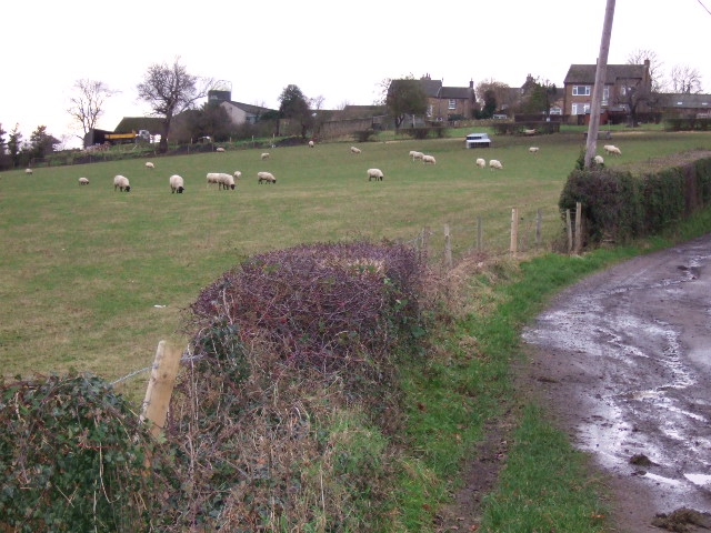
Birleyhay is surrounded by beautiful countryside, making it an ideal location for outdoor enthusiasts. There are several walking and cycling routes in the vicinity, allowing residents and visitors to explore the scenic landscapes and enjoy the peaceful surroundings.

In summary, Birleyhay is a charming and tranquil village in Derbyshire, offering a close-knit community, historic architecture, and easy access to the stunning countryside.

If you have any feedback on the listing, please let us know in the comments section below.
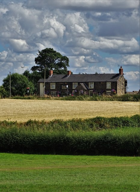
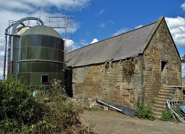
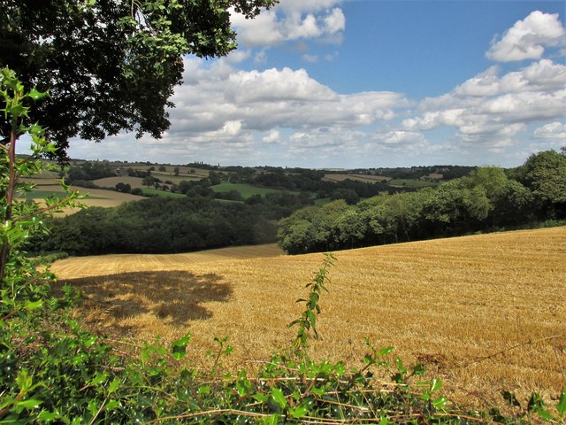
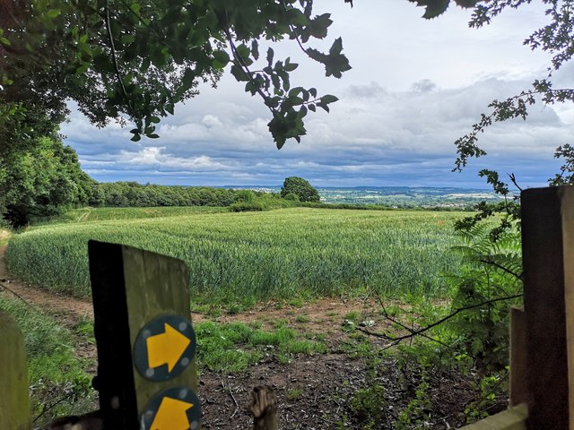
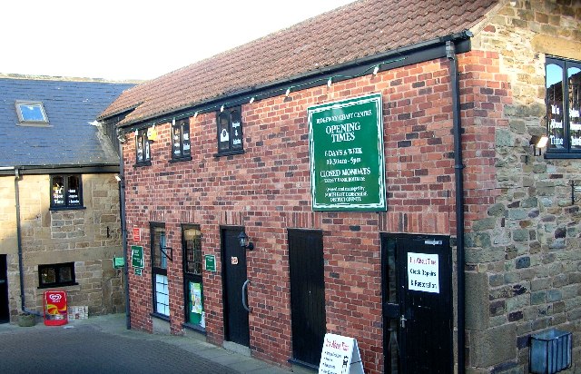
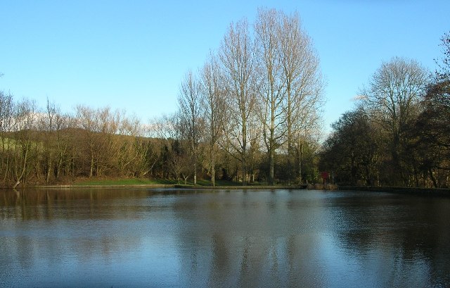
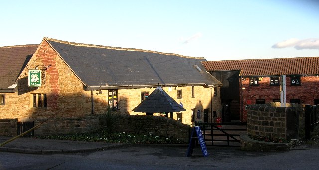
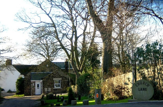
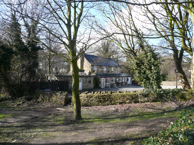
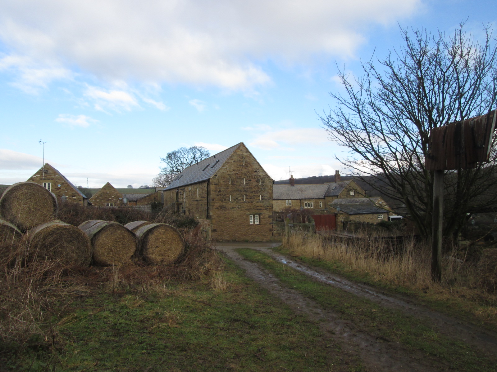
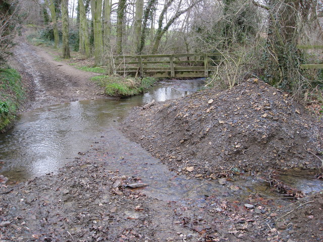
Birleyhay Images

Images are sourced within 2km of 53.318119/-1.402516 or Grid Reference SK3980. Thanks to Geograph Open Source API. All images are credited.

View to "The Fox and Hounds", Marsh Lane
At Bramley Farm, Bramley near Marsh Lane
The Moss valley. Lovely walking area.
The Moss valley.
Lovely walking area.
Cattle in field at Bramley
View east from Bramley
Ridgeway Craft Centre, Near Sheffield
Ridgeway Church, Near Sheffield.
Ford Dam at Ridgeway, Nr Sheffield.
Ridgeway Craft Centre, Near Sheffield (NE Derbyshire)
Church Lane, Ridgeway, Nr Sheffield
St. John's Ridgeway from west The village of Ridgeway has a string sense of identity as evidence their comprehensive website : <span class="nowrap"><a title="http://www.ridgewayvillage.org.uk" rel="nofollow ugc noopener" href="http://www.ridgewayvillage.org.uk">Link</a><img style="margin-left:2px;" alt="External link" title="External link - shift click to open in new window" src="https://s1.geograph.org.uk/img/external.png" width="10" height="10"/></span>
St. John's Ridgeway from west
The village of Ridgeway has a string sense of identity as evidence their comprehensive website : LinkExternal link
Plumbley Lane Farm. Old farm now being renovated.
Plumbley Lane Farm.
Old farm now being renovated.
Barn at  Plumbley. Hay barn at the back of Plumbley lane Farm.
Barn at Plumbley.
Hay barn at the back of Plumbley lane Farm.
Footpath and  track The footpath leads to Twelve Acre Wood, whilst the track continues up to Plumbley.
Footpath and track
The footpath leads to Twelve Acre Wood, whilst the track continues up to Plumbley.
Plumbley. The hamlet of Plumbley
Plumbley.
The hamlet of Plumbley
Sloade Lane - Junction with Ridgeway Moor
Ridgeway Moor - View towards Sloade Lane
Ford - The Bridge Inn
Show me another place!

Birleyhay is located at Grid Ref: SK3980 (Lat: 53.318119, Lng: -1.402516)

Administrative County: Derbyshire

District: North East Derbyshire

Police Authority: Derbyshire

What 3 Words

///using.casual.trap. Near Beighton, South Yorkshire

Nearby Locations

Ryall's Wood Birleyhay

Related Wikis

Nearby Amenities

Located within 500m of 53.318119,-1.402516
Ford
Is In: Derbyshire, England, UK
Place: hamlet
Lat/Long: 53.3195131/-1.3974596
Passing Place
Lat/Long: 53.3186917/-1.4020457
Bus Stop
Ele: 112.0000000
Naptan AtcoCode: 1000DRFL8155
Naptan NaptanCode: dbsdmgdm
Lat/Long: 53.3160933/-1.3994818
Ele: 119.0000000
Lat/Long: 53.315619/-1.3986932
Bench
Ele: 68.0000000
Lat/Long: 53.3186007/-1.3971724
Bench
Ele: 65.0000000
Lat/Long: 53.3187737/-1.3950669
Post Box
Collection Times: Mo-Fr 16:00; Sa 11:00
Ele: 12
Post Box Type: wall
Ref: S12 353
Royal Cypher: GR
Royal Cypher Wikidata: Q33102273
Lat/Long: 53.3190653/-1.3988322
Barrier: stile
Ele: 27
Steps: 1
Stile: stepover
Lat/Long: 53.3193927/-1.4032418
Barrier: stile
Ele: 46
Steps: 1
Stile: stepover
Lat/Long: 53.3204936/-1.403621
Barrier: stile
Material: wood
Stile: stepover
Lat/Long: 53.3172518/-1.4066096
Waste Basket
Waste: dog_excrement
Lat/Long: 53.3186011/-1.3970279
Life Ring
Emergency: life_ring
Lat/Long: 53.318603/-1.3968688
Barrier: kissing_gate
Source: survey;gps
Lat/Long: 53.3185942/-1.3969751
John Haslam's Donkey
Information: board
Tourism: information
Lat/Long: 53.3185878/-1.3970849
Leisure: picnic_table
Lat/Long: 53.3188009/-1.3976119
Leisure: picnic_table
Lat/Long: 53.3188298/-1.397671
Barrier: stile
Material: stone
Source: survey;gps
Stile: squeezer
Lat/Long: 53.3170838/-1.4073102
The data included in this document is from www.openstreetmap.org. The data is made available under ODbL.

Have you been to Birleyhay?

Leave your review of Birleyhay below (or comments, questions and feedback).