Plas Meredydd
Settlement in Montgomeryshire
Wales
Plas Meredydd

The requested URL returned error: 429 Too Many Requests
If you have any feedback on the listing, please let us know in the comments section below.
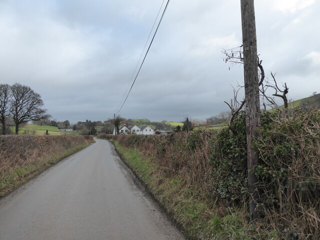
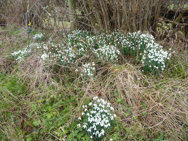
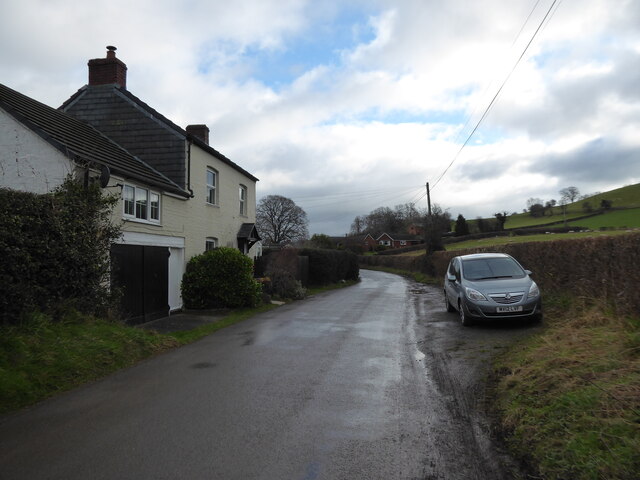
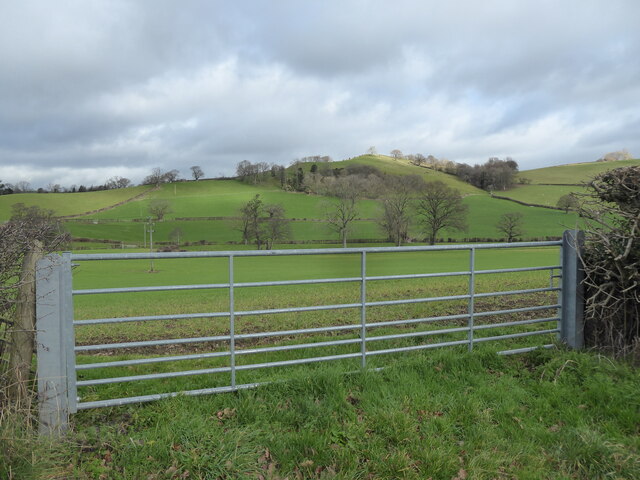
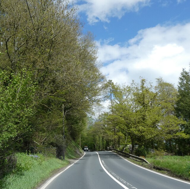
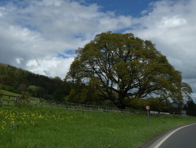
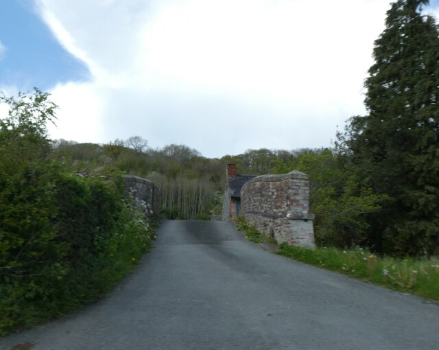
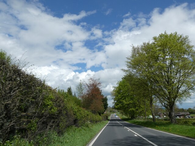
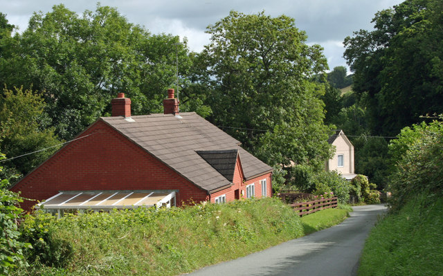
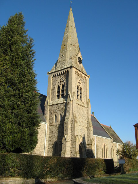
Plas Meredydd Images
Images are sourced within 2km of 52.564626/-3.2111538 or Grid Reference SO1897. Thanks to Geograph Open Source API. All images are credited.


Plas Meredydd is located at Grid Ref: SO1897 (Lat: 52.564626, Lng: -3.2111538)
Unitary Authority: Powys
Police Authority: Dyfed Powys
What 3 Words
///refreshed.seagull.readjust. Near Newtown, Powys
Nearby Locations
Related Wikis

Abernant, Powys
Abernant is a hamlet near Montgomery, Powys and is 75 miles (121 km) from Cardiff and 150 miles (242 km) from London.The spring forms above Abernant, near...

Caerhowel Bridge
Caerhowel Bridge (Welsh: Pont Caerhywel) is a two-arch cast-iron, Grade II listed bridge over the River Severn, west of Caerhowel, Powys, Wales. The 6...
Abermule with Llandyssil
Abermule with Llandyssil, formerly just Llandyssil (Welsh: Llandysul), is a community in Powys (historically Montgomeryshire), Wales, including the villages...
Llandyssil
Llandyssil (Welsh: Llandysul) is a village in the community of Abermule with Llandyssil, in Powys, Wales, in the traditional county of Montgomeryshire...
Nearby Amenities
Located within 500m of 52.564626,-3.2111538Have you been to Plas Meredydd?
Leave your review of Plas Meredydd below (or comments, questions and feedback).