Plas Bodafon
Settlement in Anglesey
Wales
Plas Bodafon
The requested URL returned error: 429 Too Many Requests
If you have any feedback on the listing, please let us know in the comments section below.
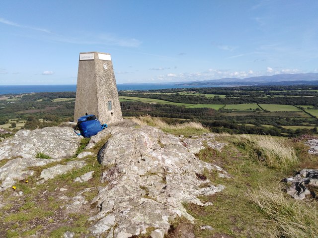
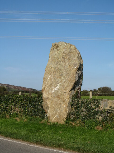
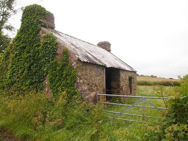
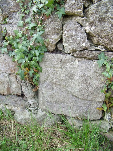
Plas Bodafon Images
Images are sourced within 2km of 53.339712/-4.2994747 or Grid Reference SH4785. Thanks to Geograph Open Source API. All images are credited.

Plas Bodafon is located at Grid Ref: SH4785 (Lat: 53.339712, Lng: -4.2994747)
Unitary Authority: Isle of Anglesey
Police Authority: North Wales
What 3 Words
///wacky.bring.fruits. Near Moelfre, Isle of Anglesey
Nearby Locations
Related Wikis
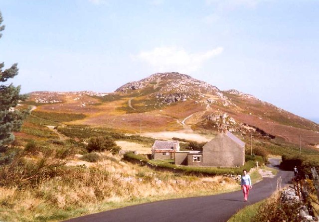
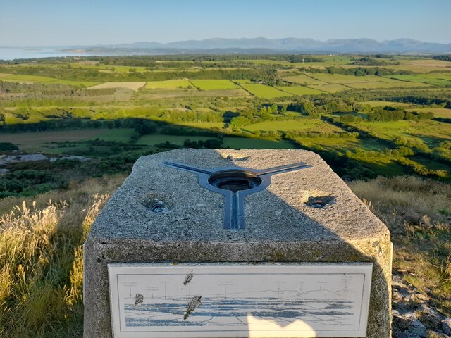
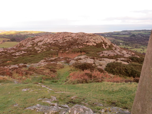
Mynydd Bodafon
Mynydd Bodafon (Bodafon Mountain) is a small collection of peaks including the Arwydd (The Sign or signal) which is the highest point on the island of...

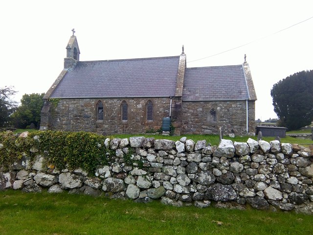
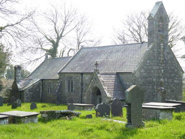
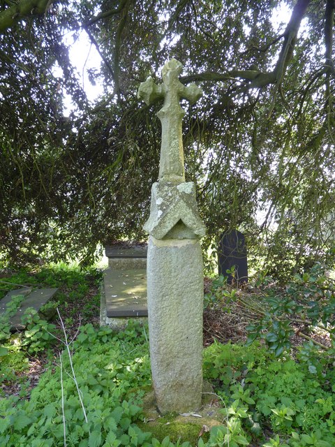
St Michael's Church, Penrhoslligwy
St Michael's Church is the parish church of Penrhoslligwy, a village near Moelfre in the north-east of the island of Anglesey, in Gwynedd, Wales. With...

Maenaddfwyn
Maenaddwyn is a village in Anglesey, in north-west Wales. Maenaddwyn has an elevation of 98.6 metres (323 ft). == References == == Other websites == Official...

Hebron, Anglesey
Hebron is a hamlet in the community of Llanddyfnan, Anglesey, Wales, which is 136.7 miles (220 km) from Cardiff and 217 miles (349.2 km) from London....
Nearby Amenities
Located within 500m of 53.339712,-4.2994747Have you been to Plas Bodafon?
Leave your review of Plas Bodafon below (or comments, questions and feedback).