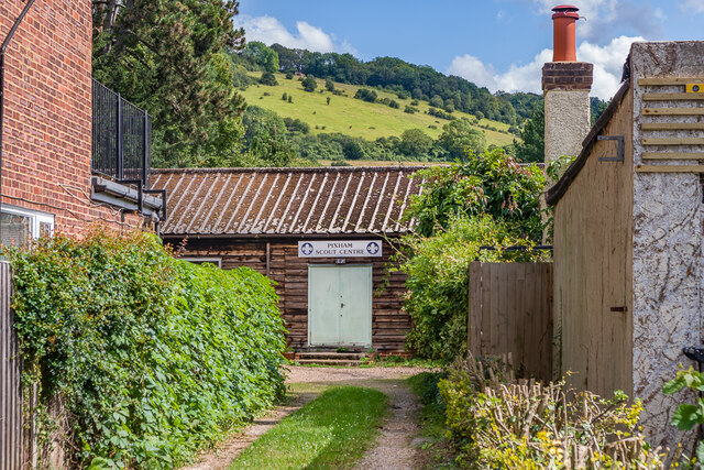
Pixham
Settlement in Surrey Mole Valley
England
Pixham
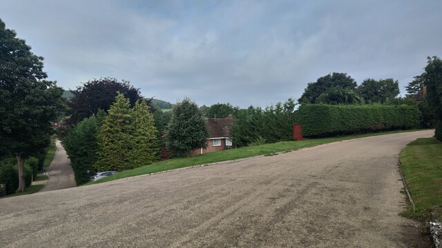
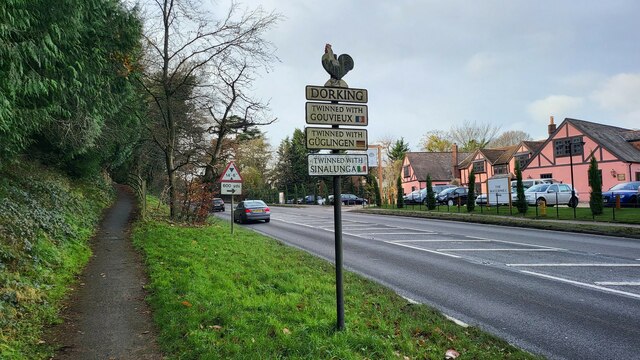
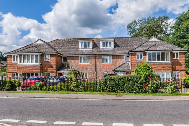
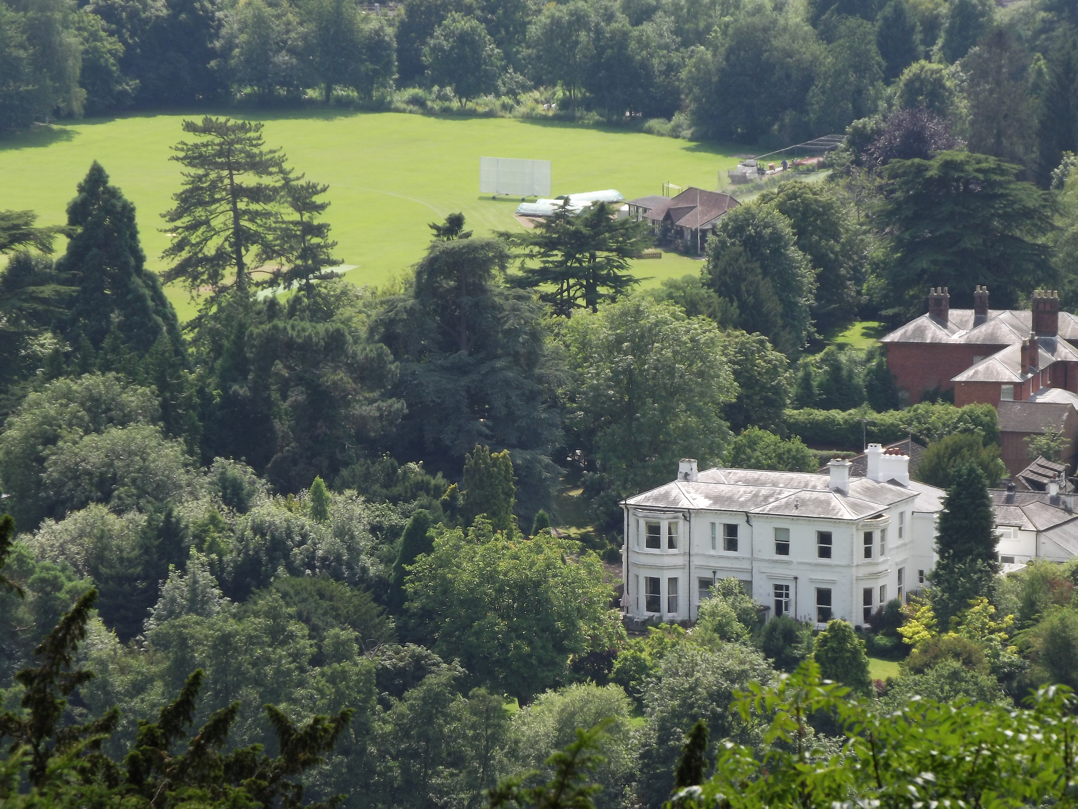
Pixham is a charming village located in the county of Surrey, England. Situated just a mile away from the market town of Dorking, Pixham offers a peaceful and picturesque setting for its residents and visitors. The village is nestled within the beautiful countryside of the Surrey Hills Area of Outstanding Natural Beauty, providing stunning views and ample opportunities for outdoor activities.
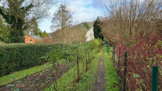
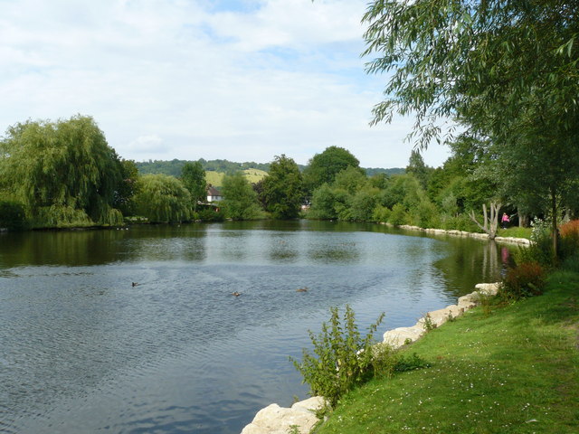
One of the notable features of Pixham is its close proximity to the River Mole, which flows through the village. The river adds to the village's scenic appeal and offers a tranquil spot for walks and picnics along its banks. Pixham also benefits from its convenient location, with excellent transportation links to nearby towns and cities, making it an ideal place for commuters.
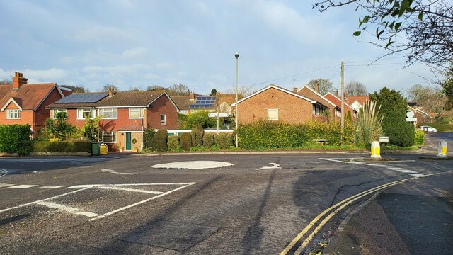
The village itself is characterized by its traditional architecture, with many historic buildings and cottages adding to its charm. The community in Pixham is close-knit and friendly, with a strong sense of pride in the local area. Amenities within the village are limited, but residents can easily access a range of shops, restaurants, and services in nearby Dorking.
For those seeking recreational activities, Pixham offers various options. The area boasts numerous walking and cycling routes, allowing residents to explore the stunning surrounding countryside. The nearby Surrey Hills also provide opportunities for horse riding, golfing, and other outdoor pursuits.
In summary, Pixham is an idyllic village in Surrey, known for its natural beauty, peaceful ambiance, and close community spirit.
If you have any feedback on the listing, please let us know in the comments section below.
Pixham Images
Images are sourced within 2km of 51.239578/-0.313868 or Grid Reference TQ1750. Thanks to Geograph Open Source API. All images are credited.


Pixham is located at Grid Ref: TQ1750 (Lat: 51.239578, Lng: -0.313868)
Administrative County: Surrey
District: Mole Valley
Police Authority: Surrey
What 3 Words
///amuse.dairy.menu. Near Dorking, Surrey
Nearby Locations
Related Wikis
Pixham
Pixham is a chapelry (small village) within the parish of Dorking, Surrey on the near side of the confluence of the River Mole and the Pipp Brook to its...
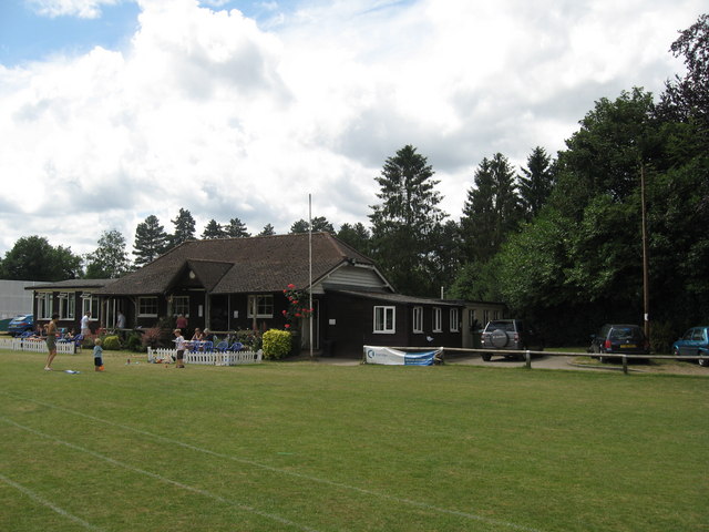
Dorking Cricket Club Ground
Dorking Cricket Club Ground is a cricket ground in Dorking, Surrey. The first recorded match on the ground was in 1993, when the ground hosted a single...
Pipp Brook
The Pipp Brook is a left-bank tributary of the River Mole, Surrey, England. It rises at two main springs north of Leith Hill on the Greensand Ridge, then...

Dorking railway station
Dorking railway station is a railway station in Dorking, Surrey, England. Located on the Mole Valley line, it is 22 miles 8 chains (35.6 km) down the line...
Nearby Amenities
Located within 500m of 51.239578,-0.313868Have you been to Pixham?
Leave your review of Pixham below (or comments, questions and feedback).