Pitmaduthy

Settlement in Ross-shire

Scotland

Pitmaduthy

The grass is always......Highland calf near Brenachie
The grass is always......Highland calf near Brenachie Credit: sylvia duckworth

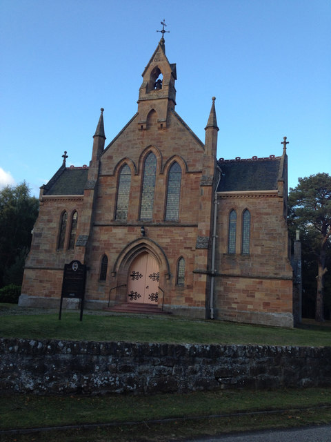
Pitmaduthy is a small village located in Ross-shire, Scotland. Situated in the Scottish Highlands, it lies approximately 15 miles northwest of Inverness, the region's capital city. This picturesque village is nestled amidst rolling hills and offers breathtaking views of the surrounding countryside.

The village is known for its tranquil and idyllic setting, making it a popular destination for nature lovers and outdoor enthusiasts. The nearby River Conon flows through the village, providing opportunities for fishing and scenic walks along its banks. The surrounding hills offer hiking trails, allowing visitors to explore the natural beauty of the area.

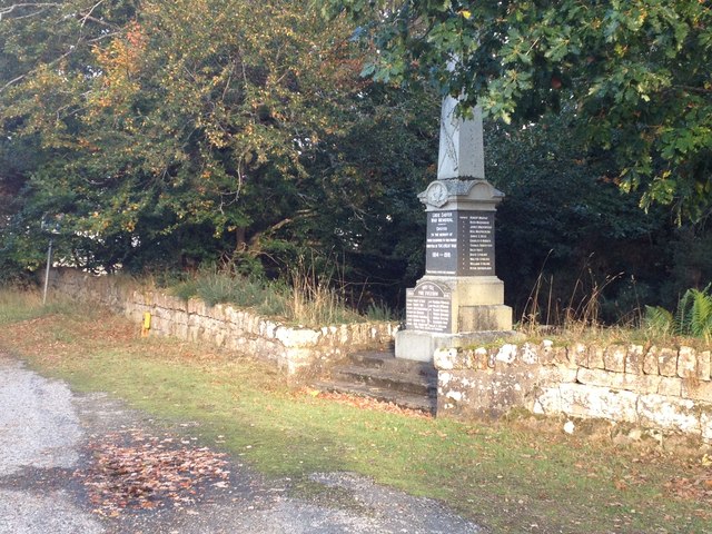
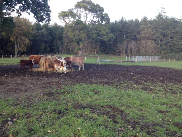
Pitmaduthy is a tight-knit community with a small population, primarily engaged in agriculture and farming. The village maintains its rural charm with traditional stone buildings and cottages, adding to its quaint appeal. The locals are known for their warm hospitality and friendly nature, making visitors feel welcome and at home.

While Pitmaduthy may not offer extensive amenities and services, its proximity to larger towns like Inverness ensures that essential facilities are easily accessible. The village boasts a local pub, where residents and visitors can gather for a pint and enjoy a friendly atmosphere.

Overall, Pitmaduthy is a hidden gem in the Scottish Highlands, offering a peaceful and scenic retreat for those seeking a break from the hustle and bustle of city life. Its natural beauty, welcoming community, and proximity to larger towns make it an ideal destination for those looking to explore the rural charm of Ross-shire.

If you have any feedback on the listing, please let us know in the comments section below.
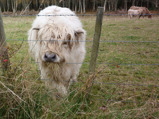
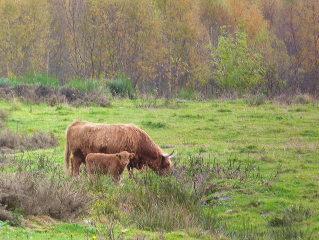
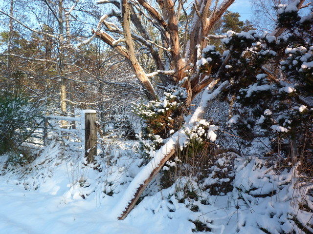
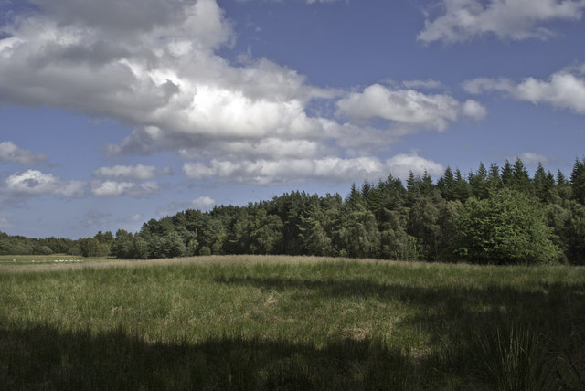
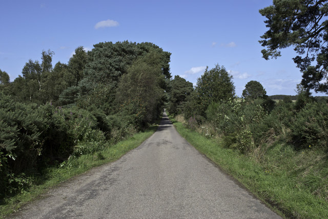
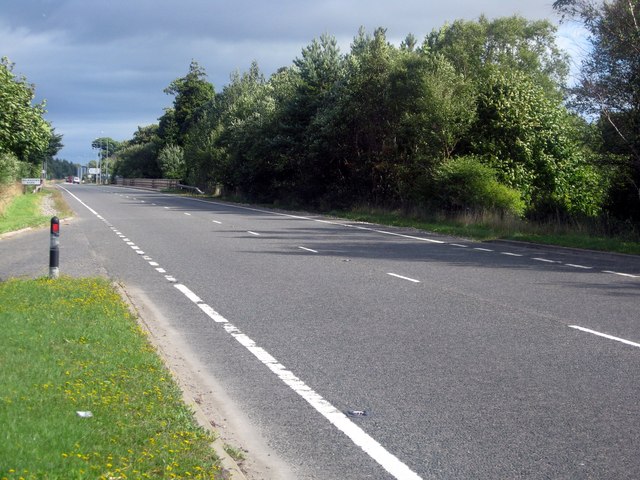
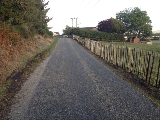
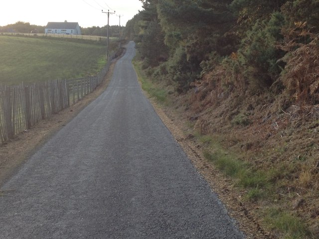
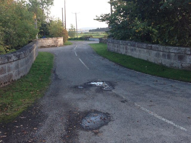
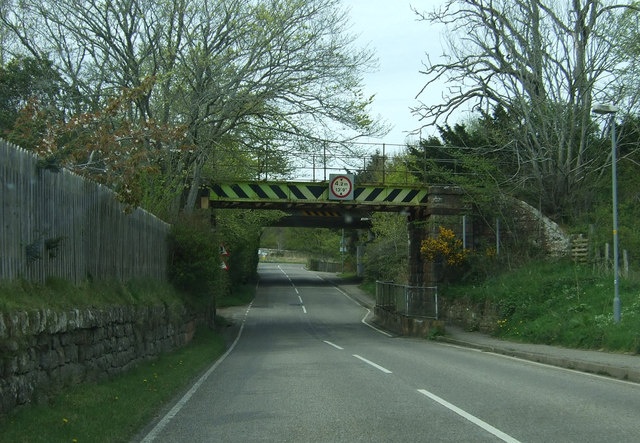
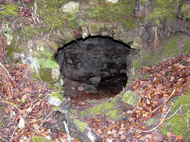
Pitmaduthy Images

Images are sourced within 2km of 57.761084/-4.0704061 or Grid Reference NH7676. Thanks to Geograph Open Source API. All images are credited.

The grass is always......Highland calf near Brenachie
Highland cow and calf, Brenachie
Gateway near Lamington
Minor road through Newfield 1
Minor road at Newfield 2
Leinster Park
Leinster Park
Minor road near Grantfield
The A9 passing Milton Heading for Kildary.
The A9 passing Milton
Heading for Kildary.
Road junction near Newfield
Minor road near Pitmaduthy
Church at Logie Easter
Roadside war memorial
Cows on farmland near Shandwick House
No through road at Logie Easter
Road crossing the main rail line north at Logie Easter
Railway bridge near Milton Over the B817.
Railway bridge near Milton
Over the B817.
Field, Kingscauseway Flooded by the previous day's rain.
Field, Kingscauseway
Flooded by the previous day's rain.
Show me another place!

Pitmaduthy is located at Grid Ref: NH7676 (Lat: 57.761084, Lng: -4.0704061)

Unitary Authority: Highland

Police Authority: Highlands and Islands

What 3 Words

///exact.expecting.grudge. Near Tain, Highland

Related Wikis

Logie Hill

Logie Hill is a small village, located on a crossroads, 3 miles south of Tain, in Eastern Ross-shire, Scottish Highlands and is in the Scottish council...

Kildary

Kildary (Scottish Gaelic: Caoldaraigh) is a small village in Easter Ross, Ross and Cromarty, Highland, Scotland.The village is located on the Balnagown...

Balnagown Castle

Balnagown Castle (also Balnagowan)(Ross Castle) is beside the village of Kildary in Easter Ross, part of the Highland area of Scotland. There has been...

Newfield, Highland

Newfield is a small hamlet in eastern Ross-shire, in the Highland area of Scotland. Newfield is located 3 miles south of Tain. == References ==

Kildary railway station

Kildary railway station served the village of Kildary, Highland, Scotland from 1864 to 1960 on the Inverness and Ross-shire Railway. == History == The...

Lamington, Highland

Lamington is a village, which sits in the southern edges of the Morangie forest in Eastern Ross-shire, Scottish Highlands and is in the Scottish council...

Milton, Easter Ross

Milton (Scottish Gaelic: Baile Mhuilinn Anndra), known as Milntown of Tarbat until the early 1970s, is a small Easter Ross community between Kildary and...

Milntown Castle

Milntown Castle was an early 16th-century castle which was situated near Milton, in Easter Ross, in the Scottish Highlands. == History == The castle was...

Nearby Amenities

Located within 500m of 57.761084,-4.0704061
Bus Stop
Junction
Local Ref: AT
Naptan AtcoCode: 6700711974
Naptan Bearing: E
Naptan CommonName: Junction
Naptan Indicator: at
Naptan Landmark: Junction
Naptan NaptanCode: 45327586
Naptan Street: Crofts of Kingcauseway Road
Naptan Verified: no
Source: naptan_import
Lat/Long: 57.761182/-4.0707189
Logie Hill
Place: locality
Lat/Long: 57.7607958/-4.0715609
Bench
Lat/Long: 57.7571036/-4.07394
Tourism: viewpoint
Lat/Long: 57.757332/-4.0730807
Bench
Lat/Long: 57.7577818/-4.0722376
Bench
Lat/Long: 57.7585576/-4.0722478
Bench
Lat/Long: 57.7586048/-4.0730941
Bench
Lat/Long: 57.7591779/-4.0743038
Bench
Lat/Long: 57.7584904/-4.0769256
Bench
Lat/Long: 57.7589919/-4.0758071
Bench
Lat/Long: 57.7584495/-4.0712635
Bench
Lat/Long: 57.7580614/-4.0713165
Waste Basket
Lat/Long: 57.757967/-4.0715002
Bench
Lat/Long: 57.7579839/-4.0714269
Bench
Lat/Long: 57.7579323/-4.071895
Power: pole
Lat/Long: 57.7610198/-4.0786108
Power: pole
Lat/Long: 57.7613426/-4.0771956
Power: pole
Lat/Long: 57.7616036/-4.0759956
Power: pole
Lat/Long: 57.7618202/-4.0750312
Power: pole
Lat/Long: 57.7620498/-4.074018
Power: pole
Lat/Long: 57.7620942/-4.0724465
Power: pole
Lat/Long: 57.7619264/-4.0714069
Power: pole
Lat/Long: 57.7617/-4.0699349
Power: pole
Lat/Long: 57.7608909/-4.0676142
Power: pole
Lat/Long: 57.7610079/-4.0666314
Power: pole
Lat/Long: 57.7611238/-4.0655655
Power: pole
Lat/Long: 57.7611606/-4.0643696
Power: pole
Lat/Long: 57.7612029/-4.063125
Power: pole
Lat/Long: 57.7601427/-4.0641919
Power: pole
Lat/Long: 57.7601644/-4.0653716
Power: pole
Lat/Long: 57.7601839/-4.0667076
Power: pole
Lat/Long: 57.7602662/-4.0684984
Power: pole
Lat/Long: 57.7603485/-4.0703542
Power: pole
Lat/Long: 57.7606746/-4.0715034
Power: pole
Lat/Long: 57.7611143/-4.0729774
Power: pole
Lat/Long: 57.7613688/-4.0733328
Power: pole
Lat/Long: 57.7614782/-4.0742515
Power: pole
Lat/Long: 57.762322/-4.0751571
Power: pole
Lat/Long: 57.7631473/-4.0760525
Power: pole
Lat/Long: 57.7638566/-4.0768098
Power: pole
Lat/Long: 57.7628602/-4.0766514
Power: pole
Lat/Long: 57.7625137/-4.0773032
Power: pole
Lat/Long: 57.7620945/-4.0781133
Power: pole
Lat/Long: 57.7617755/-4.0775519
Power: pole
Lat/Long: 57.7619337/-4.0758971
Power: pole
Lat/Long: 57.7615264/-4.0766687
Power: pole
Lat/Long: 57.7609697/-4.0777651
Power: pole
Lat/Long: 57.7605321/-4.0786067
The data included in this document is from www.openstreetmap.org. The data is made available under ODbL.

Have you been to Pitmaduthy?

Leave your review of Pitmaduthy below (or comments, questions and feedback).