Birks

Settlement in Yorkshire South Lakeland

England

Birks

Rash Mill and chapel A grade II listed 18th century water-powered corn mill (left) with at right a Methodist chapel. See <a href="https://www.geograph.org.uk/photo/4500266">SD6589 : Rash Bridge</a> for a closer view of the mill.   The chapel was closed, and from the amount of cobweb across the door I expect it had not been opened since the start of the Covid-19 pandemic some 17 months earlier.
Rash Mill and chapel Credit: Stephen Craven

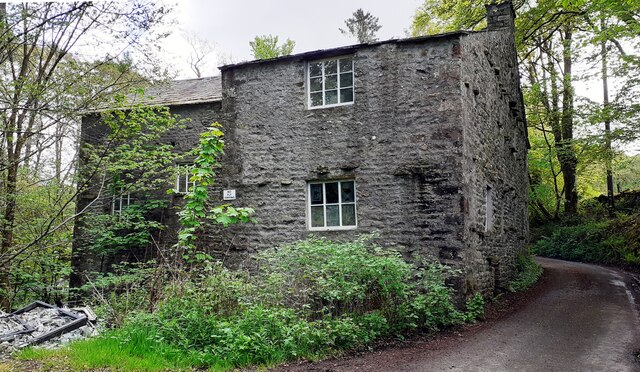
Birks is a charming village situated in the county of Yorkshire, England. Nestled amidst the picturesque Yorkshire Dales, it boasts breathtaking natural beauty and a small, tight-knit community. With a population of around 500 residents, Birks exudes a peaceful and tranquil atmosphere, making it an ideal destination for those seeking a serene retreat.

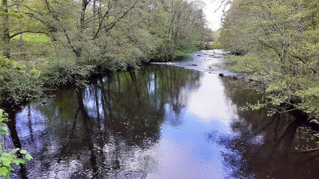
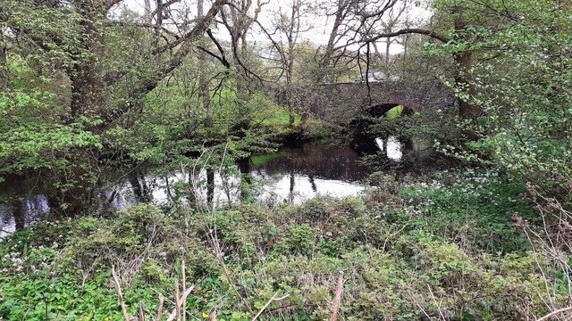
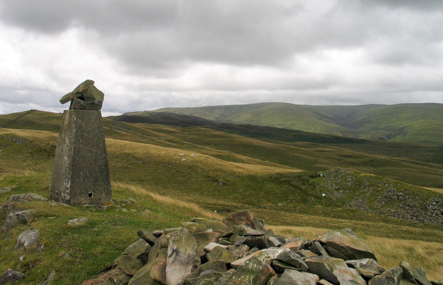
The village is surrounded by rolling hills, verdant meadows, and meandering streams, offering visitors ample opportunities to explore the great outdoors. Hiking and cycling enthusiasts will find an abundance of scenic trails to traverse, showcasing the stunning landscapes that Yorkshire is renowned for.

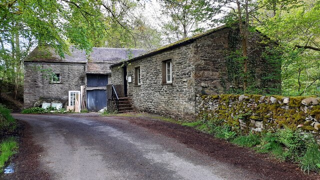
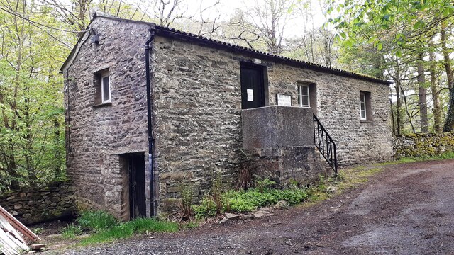
Birks is also home to several historical landmarks, which provide a glimpse into its rich heritage. The village church, dating back to the 12th century, stands as a testament to its past. Its architecture, adorned with intricate details and stained glass windows, attracts both locals and tourists alike.

Although a small village, Birks boasts a few amenities to cater to its residents. A cozy pub, serving traditional Yorkshire fare, offers a warm and welcoming atmosphere, while a local shop provides essential supplies and serves as a meeting point for villagers.

Overall, Birks, Yorkshire is a hidden gem that combines natural beauty, historical charm, and a close-knit community. It is a place where one can escape the hustle and bustle of city life and immerse themselves in the tranquility and serenity of the Yorkshire countryside.

If you have any feedback on the listing, please let us know in the comments section below.
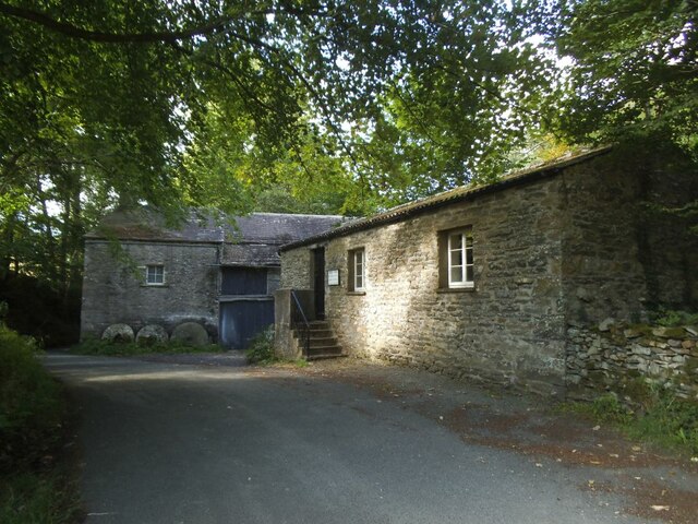
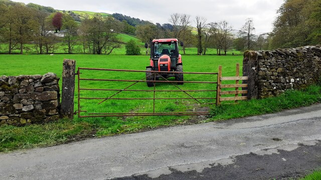
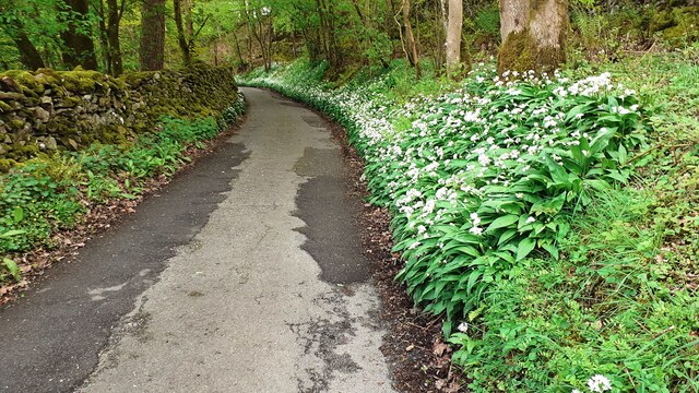
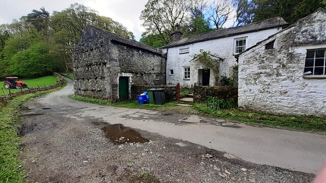
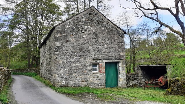
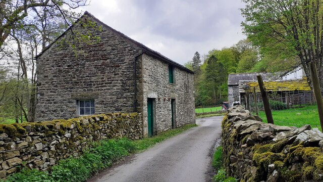
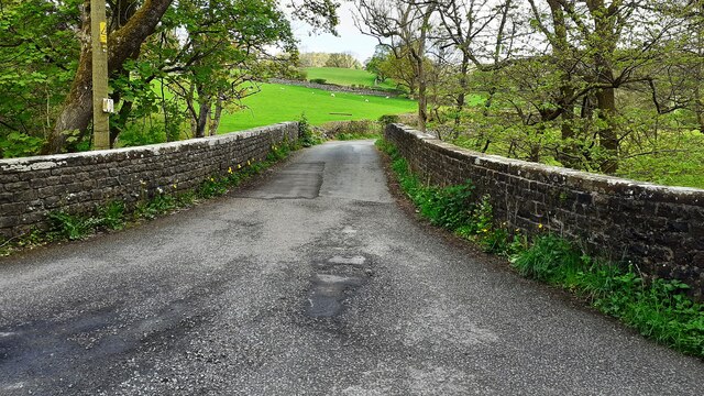
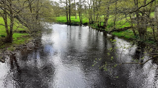
Birks Images

Images are sourced within 2km of 54.313384/-2.5394856 or Grid Reference SD6591. Thanks to Geograph Open Source API. All images are credited.

Rash Mill and chapel A grade II listed 18th century water-powered corn mill (left) with at right a Methodist chapel. See <a href="https://www.geograph.org.uk/photo/4500266">SD6589 : Rash Bridge</a> for a closer view of the mill.   The chapel was closed, and from the amount of cobweb across the door I expect it had not been opened since the start of the Covid-19 pandemic some 17 months earlier.
Rash Mill and chapel
A grade II listed 18th century water-powered corn mill (left) with at right a Methodist chapel. See SD6589 : Rash Bridge for a closer view of the mill. The chapel was closed, and from the amount of cobweb across the door I expect it had not been opened since the start of the Covid-19 pandemic some 17 months earlier.
Tractor in field at Rash
Rural road SE of Rash entering Scar wood Wild garlic adorns the right hand verge
Rural road SE of Rash entering Scar wood
Wild garlic adorns the right hand verge
Rash Mill Cottage and outbuildings
Farm building SE of Rash Bridge
Farm buildings beside road SE of Rash Bridge
Bridge taking Mill Lane over River Dee
Rash Mill Cottage and outbuildings
Looking southeast along River Dee from Rash Bridge
Looking northwest along River Dee from Rash Bridge
View to Rash Bridge from road on SW side of River Dee
Dent Foot Methodist Chapel and Rash Mill
Dent Foot Methodist Chapel The notice on the door reports 'chapel now closed'
Dent Foot Methodist Chapel
The notice on the door reports 'chapel now closed'
Northwest face of Rash Mill
Dent Foot Methodist Chapel A sign on the door reads 'CHAPEL NOW CLOSED'
Dent Foot Methodist Chapel
A sign on the door reads 'CHAPEL NOW CLOSED'
Valley of River Dee opposite Scar Wood Trees line the river; Scar Wood is on the further bank, and is partly visible on the right of the picture
Valley of River Dee opposite Scar Wood
Trees line the river; Scar Wood is on the further bank, and is partly visible on the right of the picture
Trig point at summit of Holme Knott Part of the summit area of Holme Knott with Calf Top in the distance.
Trig point at summit of Holme Knott
Part of the summit area of Holme Knott with Calf Top in the distance.
The River Dee Viewed from Rash Bridge.
A dipper is standing on a stone in the centre.
The River Dee
Viewed from Rash Bridge. A dipper is standing on a stone in the centre.
Show me another place!

Birks is located at Grid Ref: SD6591 (Lat: 54.313384, Lng: -2.5394856)

Division: West Riding

Administrative County: Cumbria

District: South Lakeland

Police Authority: Cumbria

What 3 Words

///tycoons.prefect.marketing. Near Sedbergh, Cumbria

Nearby Locations

Birks

Related Wikis

River Dee, Cumbria

The River Dee is a river running through the extreme south east of Cumbria, a part of the Craven region traditionally part of the West Riding of Yorkshire...

Brigflatts Meeting House

Brigflatts Meeting House or Briggflatts Meeting House is a Friends Meeting House of the Religious Society of Friends (Quakers), near Sedbergh, Cumbria...

Sedbergh School

Sedbergh School is a public school (English private boarding and day school) in the town of Sedbergh in Cumbria, North West England. It comprises a junior...

Sedbergh School Chapel

Sedbergh School Chapel is located to the southeast of Sedbergh School, Sedbergh, Cumbria, England. It is considered to be of architectural importance...

Nearby Amenities

Located within 500m of 54.313384,-2.5394856
Catholes
Naptan AtcoCode: 090079612223
Naptan Bearing: E
Naptan BusStopType: CUS
Naptan CommonName: Catholes
Naptan Indicator: o/s
Naptan Landmark: Catholes
Naptan NaptanCode: cumdmdwt
Naptan Street: No name
Naptan Verified: no
Source: naptan_import
Lat/Long: 54.3113437/-2.5356658
Catholes road end (S bound)
Local Ref: AT
Naptan AtcoCode: 090079613958
Naptan Bearing: SW
Naptan BusStopType: CUS
Naptan CommonName: Catholes road end (S bound)
Naptan Indicator: at
Naptan Landmark: Catholes
Naptan NaptanCode: cumdmwmd
Naptan Street: No Name
Naptan Verified: no
Source: naptan_import
Lat/Long: 54.3113201/-2.5328833
Catholes road end (N bound)
Local Ref: AT
Naptan AtcoCode: 090079613959
Naptan Bearing: NE
Naptan BusStopType: CUS
Naptan CommonName: Catholes road end (N bound)
Naptan Indicator: at
Naptan Landmark: Catholes
Naptan NaptanCode: cumdmwmg
Naptan Street: No Name
Naptan Verified: no
Source: naptan_import
Lat/Long: 54.3113465/-2.5330066
Barrier: kissing_gate
Lat/Long: 54.3171104/-2.535339
Power: pole
Lat/Long: 54.3125068/-2.5461862
Power: pole
Lat/Long: 54.3131452/-2.5448182
Power: pole
Lat/Long: 54.3141028/-2.5439626
Power: pole
Lat/Long: 54.3151073/-2.5430721
Power: pole
Lat/Long: 54.3154531/-2.5427422
Power: pole
Lat/Long: 54.316021/-2.5418732
Power: pole
Lat/Long: 54.3167939/-2.5406984
Power: pole
Lat/Long: 54.3174244/-2.5397542
Power: pole
Lat/Long: 54.3173305/-2.5364953
Power: pole
Lat/Long: 54.3167689/-2.5363559
Power: pole
Lat/Long: 54.3164169/-2.5348297
Power: pole
Lat/Long: 54.3160507/-2.5333545
Barrier: kissing_gate
Lat/Long: 54.3138674/-2.5430246
Hiking: yes
Information: guidepost
Source: GPS survey
Tourism: information
Lat/Long: 54.3157206/-2.5381154
Hiking: yes
Information: guidepost
Source: GPS survey
Tourism: information
Lat/Long: 54.3159021/-2.5383246
Barrier: kissing_gate
Lat/Long: 54.317293/-2.5383226
Hiking: yes
Information: guidepost
Source: GPS survey
Tourism: information
Lat/Long: 54.3173071/-2.5383098
Hiking: yes
Information: guidepost
Source: GPS survey
Tourism: information
Lat/Long: 54.3135513/-2.5375602
Fixme: continue
Lat/Long: 54.3148804/-2.536781
Barrier: stile
Source: GPS survey
Lat/Long: 54.3135208/-2.5375843
Barrier: stile
Source: GPS survey
Lat/Long: 54.3119842/-2.5402437
Hiking: yes
Information: guidepost
Source: GPS survey
Tourism: information
Lat/Long: 54.3118958/-2.5403161
Hiking: yes
Information: guidepost
Source: GPS survey
Tourism: information
Lat/Long: 54.3117417/-2.5414252
Hiking: yes
Information: guidepost
Source: GPS survey
Tourism: information
Lat/Long: 54.311712/-2.5425544
Power: pole
Lat/Long: 54.3113844/-2.5326885
Power: pole
Lat/Long: 54.3113889/-2.5333029
Barrier: stile
Stile: stepover
Lat/Long: 54.3170189/-2.5395818
Barrier: entrance
Lat/Long: 54.3164017/-2.5404583
Barrier: entrance
Lat/Long: 54.314871/-2.5456108
Power: pole
Lat/Long: 54.3118559/-2.5352678
Power: pole
Lat/Long: 54.3122305/-2.5367626
Power: pole
Lat/Long: 54.3150043/-2.53774
Power: pole
Lat/Long: 54.3147263/-2.5369016
The data included in this document is from www.openstreetmap.org. The data is made available under ODbL.

Have you been to Birks?

Leave your review of Birks below (or comments, questions and feedback).