Pisgah

Settlement in Perthshire

Scotland

Pisgah

Tree planting at Stonehill Newly planted trees in front of established woodland near Stonehill.
Tree planting at Stonehill Credit: William Starkey

Pisgah is a small village located in the picturesque region of Perthshire in Scotland. Nestled amidst the stunning Scottish countryside, Pisgah offers a tranquil and idyllic setting for residents and visitors alike. The village is situated approximately 10 miles northwest of the bustling town of Perth, making it easily accessible for those seeking a peaceful retreat.

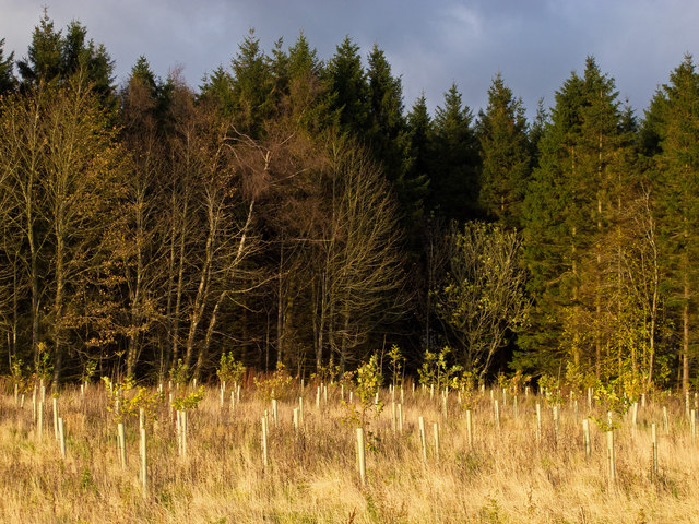
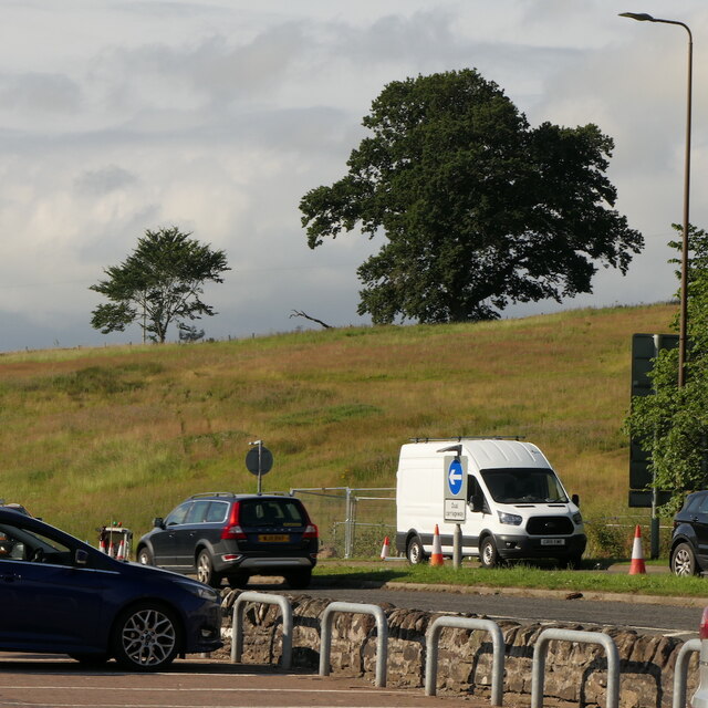
Surrounded by rolling hills, lush green fields, and dense woodlands, Pisgah boasts breathtaking natural beauty. It is a haven for outdoor enthusiasts, with numerous walking trails and cycling routes that showcase the area's stunning landscapes. The nearby Perthshire hills provide opportunities for hiking, climbing, and birdwatching, offering a chance to immerse oneself in nature.

Pisgah is a close-knit community, with a small population that fosters a friendly and welcoming atmosphere. The village is home to a range of amenities, including a local pub, a village hall, and a primary school, catering to the needs of its residents. Despite its small size, Pisgah enjoys a vibrant community spirit, often hosting events and gatherings that bring locals together.

For visitors, Pisgah offers a peaceful retreat from the hustle and bustle of city life. The area is dotted with charming bed and breakfasts and country cottages, allowing visitors to experience the authentic Scottish countryside lifestyle. Whether it's exploring the scenic surroundings, enjoying traditional Scottish hospitality, or simply unwinding in the tranquility of nature, Pisgah has something to offer everyone seeking a true Scottish escape.

If you have any feedback on the listing, please let us know in the comments section below.
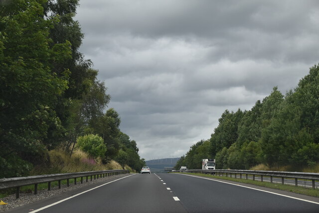
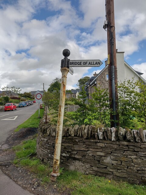
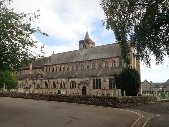
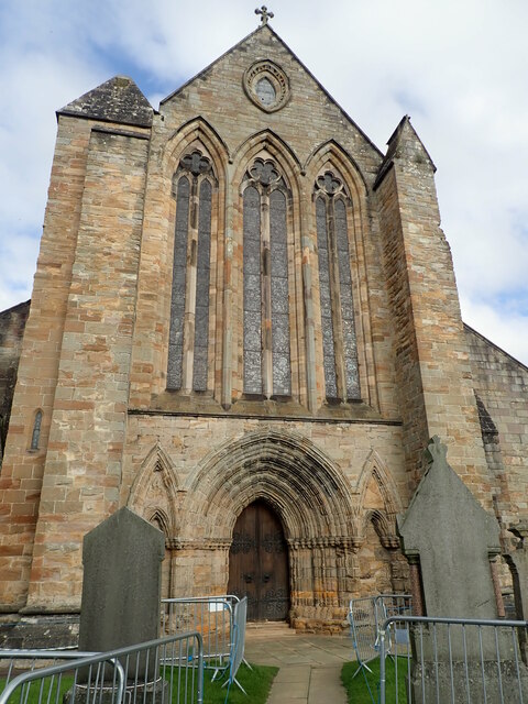
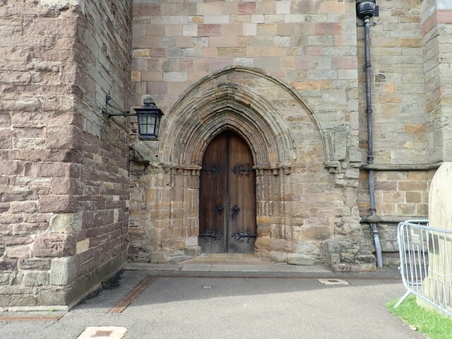
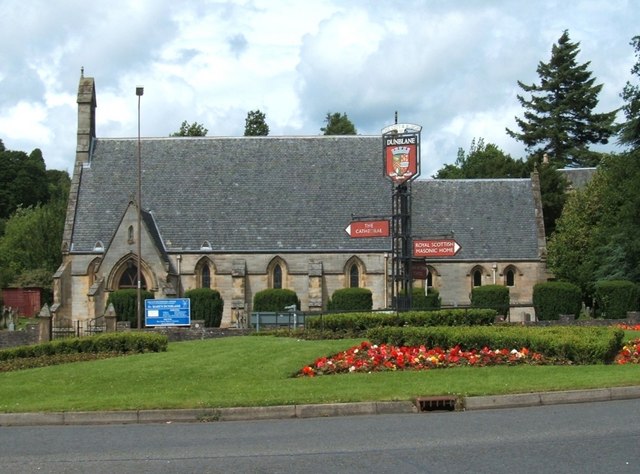
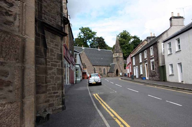
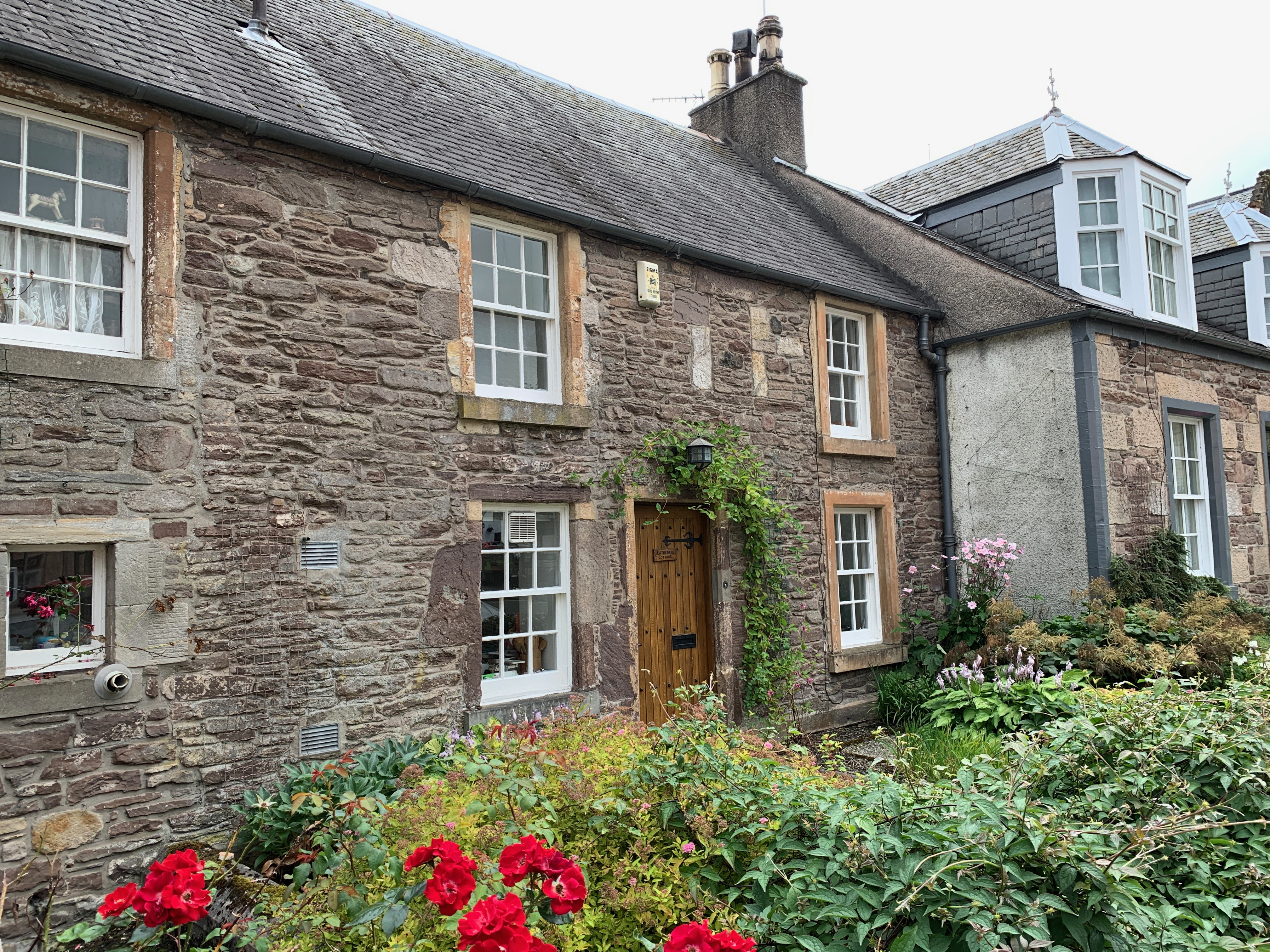
Pisgah Images

Images are sourced within 2km of 56.177226/-3.9507045 or Grid Reference NN7900. Thanks to Geograph Open Source API. All images are credited.

Tree planting at Stonehill Newly planted trees in front of established woodland near Stonehill.
Tree planting at Stonehill
Newly planted trees in front of established woodland near Stonehill.
New woodland, Stonehill More shelter for the arable land on the lower slopes of the Ochil Hills.
New woodland, Stonehill
More shelter for the arable land on the lower slopes of the Ochil Hills.
Stonehill farmland Arable land on the way up to Sheriff Muir with a view up to Meikle Corum in the Ochil Hills.

The shelter belts around Cauldhame stand out beneath the rough grazing on the hill.
Stonehill farmland
Arable land on the way up to Sheriff Muir with a view up to Meikle Corum in the Ochil Hills. The shelter belts around Cauldhame stand out beneath the rough grazing on the hill.
Farmhouse, Stonehill Now unoccupied and advertised for sale and redevelopment.
Farmhouse, Stonehill
Now unoccupied and advertised for sale and redevelopment.
Field, Dunblane Not yet built upon but one lane of the old A9 was closed and there was some Heras fencing up. Something may be happening.
Field, Dunblane
Not yet built upon but one lane of the old A9 was closed and there was some Heras fencing up. Something may be happening.
A9, Dunblane bypass The A9 is a strategic link between the Highlands of Scotland and the Central Belt. It runs 279 miles from junction 5 of the M9 at Polmont to Scrabster. Originally it ran from Edinburgh.
<span class="nowrap"><a title="https://www.sabre-roads.org.uk/wiki/index.php?title=A9" rel="nofollow ugc noopener" href="https://www.sabre-roads.org.uk/wiki/index.php?title=A9">Link</a><img style="margin-left:2px;" alt="External link" title="External link - shift click to open in new window" src="https://s1.geograph.org.uk/img/external.png" width="10" height="10"/></span>
A9, Dunblane bypass
The A9 is a strategic link between the Highlands of Scotland and the Central Belt. It runs 279 miles from junction 5 of the M9 at Polmont to Scrabster. Originally it ran from Edinburgh. LinkExternal link
Direction Sign – Signpost on Glen Road, Dunblane Located on the east side of the crossroads of Glen Road and Sheriffmuir Road, southwest of Dunblane. 3 arms, 1 missing and ball finial. See also <a title="https://www.geograph.org.uk/photo/5431261" href="https://www.geograph.org.uk/photo/5431261">Link</a>.

Milestone Society National ID: PR_NN7900
Direction Sign – Signpost on Glen Road, Dunblane
Located on the east side of the crossroads of Glen Road and Sheriffmuir Road, southwest of Dunblane. 3 arms, 1 missing and ball finial. See also Link. Milestone Society National ID: PR_NN7900
Cathedral Church of St Blaan and St Laurence, Dunblane Dunblane Cathedral dates back to the 12th century, most of what stands being constructed during the bishopric of Clement in the 13th century.
Cathedral Church of St Blaan and St Laurence, Dunblane
Dunblane Cathedral dates back to the 12th century, most of what stands being constructed during the bishopric of Clement in the 13th century.
Dunblane Cathedral Western end of the cathedral, with three stained glass windows
Dunblane Cathedral
Western end of the cathedral, with three stained glass windows
Door on southern side of Dunblane Cathedral There is believed to have been a 9th century church on this site, and the present cathedral of St Blaan and St Laurence erected in its place dates largely from the 12th-13th centuries, restored in 1889 by Sir Robert Rowand Anderson. Along with its surrounding close it is listed category A (LB26361) and a Scheduled Monument (SM90109).
Door on southern side of Dunblane Cathedral
There is believed to have been a 9th century church on this site, and the present cathedral of St Blaan and St Laurence erected in its place dates largely from the 12th-13th centuries, restored in 1889 by Sir Robert Rowand Anderson. Along with its surrounding close it is listed category A (LB26361) and a Scheduled Monument (SM90109).
OS Cutmark, Dunblane Cathedral At the foot of the tower
OS Cutmark, Dunblane Cathedral
At the foot of the tower
Signpost, Dunblane A sculptural signpost incorporating various creatures including fish, frogs and dragonflies, at the junction of High Street, Beech Road and Stirling Road. The sign originally pointed to 'Cathedral Square', 'Dam Road' and 'Railway', however some of the signage is now missing on one side.
Signpost, Dunblane
A sculptural signpost incorporating various creatures including fish, frogs and dragonflies, at the junction of High Street, Beech Road and Stirling Road. The sign originally pointed to 'Cathedral Square', 'Dam Road' and 'Railway', however some of the signage is now missing on one side.
High Street, Dunblane Shops at the southern end of High Street.
High Street, Dunblane
Shops at the southern end of High Street.
Allan Water From the bridge on Stirling Road.
Allan Water
From the bridge on Stirling Road.
Old mill An old mill building beside the Allan Water. It has been on the Buildings at Risk Register <span class="nowrap"><a title="https://www.buildingsatrisk.org.uk/details/912502" rel="nofollow ugc noopener" href="https://www.buildingsatrisk.org.uk/details/912502">Link</a><img style="margin-left:2px;" alt="External link" title="External link - shift click to open in new window" src="https://s1.geograph.org.uk/img/external.png" width="10" height="10"/></span> for many years, but planning permission was conditionally approved in 2017 to convert it into a dwelling.
Old mill
An old mill building beside the Allan Water. It has been on the Buildings at Risk Register LinkExternal link for many years, but planning permission was conditionally approved in 2017 to convert it into a dwelling.
The Village Inn Late 18th century inn on Stirling Road. It is Category C listed <span class="nowrap"><a title="http://portal.historicenvironment.scot/designation/LB26420" rel="nofollow ugc noopener" href="http://portal.historicenvironment.scot/designation/LB26420">Link</a><img style="margin-left:2px;" alt="External link" title="External link - shift click to open in new window" src="https://s1.geograph.org.uk/img/external.png" width="10" height="10"/></span>.
The Village Inn
Late 18th century inn on Stirling Road. It is Category C listed LinkExternal link.
Sign for the Village Inn Inn on Stirling Road, Dunblane <a href="https://www.geograph.org.uk/photo/7162841">NN7801 : The Village Inn</a>.
Sign for the Village Inn
Inn on Stirling Road, Dunblane NN7801 : The Village Inn.
The Dunblane Public house in Stirling Road, Dunblane.
The Dunblane
Public house in Stirling Road, Dunblane.
Show me another place!

Pisgah is located at Grid Ref: NN7900 (Lat: 56.177226, Lng: -3.9507045)

Unitary Authority: Stirling

Police Authority: Forth Valley

What 3 Words

///devoured.zipped.cobbles. Near Dunblane, Stirling

Related Wikis

Duckburn Park

Duckburn Park was a football ground in Dunblane, Scotland. It was the home ground of Dunblane and Dunblane Rovers, and hosted a single Scottish Football...

Dunblane

Dunblane (, Scottish Gaelic: Dùn Bhlàthain) is a small town in the council area of Stirling in central Scotland, and inside the historic boundaries of...

Dunblane Hotel

Dunblane Hotel (also known as The Dunblane) is an historic building in Dunblane, Scotland. Located on Stirling Street, it is a Category C listed building...

Dunblane railway station

Dunblane railway station serves the town of Dunblane in central Scotland. It is located on the former Scottish Central Railway, between Stirling and Perth...

St Mary's Episcopal Church, Dunblane

St Mary's Episcopal Church is a medium-sized church of the Scottish Episcopal Church in Dunblane, Scotland. It is situated by the Fourways roundabout....

Diocese of Dunblane

The Diocese of Dunblane or Diocese of Strathearn was one of the thirteen historical dioceses of Scotland, before the abolition of episcopacy in the Scottish...

St Blane's Church, Dunblane

St Blane's is a Church of Scotland church located in Dunblane, Scotland. The evangelical congregation is within the Church of Scotland's Presbytery of...

St Clement's Cottage

St Clement's Cottage is a building in the Scottish town of Dunblane, Stirling. Located in The Cross, immediately to the south of Dunblane Cathedral, it...

Nearby Amenities

Located within 500m of 56.177226,-3.9507045
Power: pole
Lat/Long: 56.1793692/-3.9438692
Power: pole
Lat/Long: 56.179708/-3.9444862
Power: pole
Lat/Long: 56.1800643/-3.9450636
Power: pole
Lat/Long: 56.1802983/-3.9454589
Power: pole
Lat/Long: 56.1805311/-3.9461283
Power: pole
Lat/Long: 56.1809933/-3.946965
Power: pole
Lat/Long: 56.1796673/-3.9510062
Power: pole
Lat/Long: 56.1800631/-3.9503222
Power: pole
Lat/Long: 56.1805265/-3.9495378
Power: pole
Lat/Long: 56.1809829/-3.9487639
Power: pole
Lat/Long: 56.1787778/-3.954445
Power: pole
Lat/Long: 56.1782609/-3.9541417
Power: pole
Lat/Long: 56.1777032/-3.9547274
Power: pole
Lat/Long: 56.1771676/-3.9552859
Power: pole
Lat/Long: 56.1767508/-3.9557837
Power: pole
Lat/Long: 56.1760906/-3.956702
Power: pole
Lat/Long: 56.1755608/-3.9570994
Power: pole
Lat/Long: 56.1749949/-3.957499
Bench
Lat/Long: 56.1774751/-3.9484605
The data included in this document is from www.openstreetmap.org. The data is made available under ODbL.

Have you been to Pisgah?

Leave your review of Pisgah below (or comments, questions and feedback).