Birkhouse
Settlement in Yorkshire
England
Birkhouse
Birkhouse is a small village located in the picturesque Yorkshire Dales, in the northern part of England. Situated in the county of Yorkshire, this charming village is nestled within the Nidderdale Area of Outstanding Natural Beauty, renowned for its stunning landscapes and idyllic countryside.
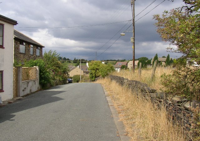
Birkhouse is a quintessential English village, characterized by its traditional stone-built houses, narrow winding streets, and peaceful atmosphere. The village is home to a close-knit community, with a population of around 200 residents. Its tranquil setting and friendly inhabitants make it an ideal place for those seeking a peaceful and rural lifestyle.
The surrounding countryside offers a wealth of outdoor activities for nature enthusiasts and visitors alike. The village is located near several walking and cycling trails, providing breathtaking views of the rolling hills, lush meadows, and ancient woodlands that define this area of Yorkshire. Birkhouse is also in close proximity to the Nidderdale Way, a long-distance footpath that meanders through the stunning landscapes of the Nidderdale Valley.
Despite its small size, Birkhouse has some local amenities to cater to residents' needs, including a village hall, a community center, and a charming local pub that serves traditional British fare. For additional services and facilities, the nearby town of Pateley Bridge is easily accessible, offering a range of shops, supermarkets, and restaurants.
Overall, Birkhouse, Yorkshire, is a hidden gem within the Yorkshire Dales, offering a tranquil and picturesque setting for those seeking a peaceful countryside retreat. Its stunning natural surroundings and close-knit community make it a desirable place to live or visit for those seeking a slower pace of life.
If you have any feedback on the listing, please let us know in the comments section below.
Birkhouse Images
Images are sourced within 2km of 53.712207/-1.7742143 or Grid Reference SE1524. Thanks to Geograph Open Source API. All images are credited.


Birkhouse is located at Grid Ref: SE1524 (Lat: 53.712207, Lng: -1.7742143)
Division: West Riding
Unitary Authority: Calderdale
Police Authority: West Yorkshire
What 3 Words
///jets.slug.pint. Near Brighouse, West Yorkshire
Nearby Locations
Related Wikis
Thornhills
Thornhills is a hamlet in the Kirklees District, in the county of West Yorkshire. It is near the town of Brighouse.
Bailiff Bridge
Bailiff Bridge is a village 1.5 miles (2.4 km) north from Brighouse, West Yorkshire, England, and is 5 miles (8.0 km) from Huddersfield and 7 miles (11...
Bailiff Bridge railway station
Bailiff Bridge railway station was built by the Lancashire and Yorkshire Railway to serve the village of Bailiff Bridge north of Brighouse in West Yorkshire...
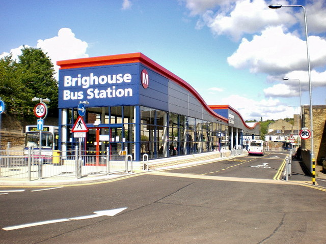
Brighouse bus station
Brighouse bus station serves the town of Brighouse, West Yorkshire, England. The bus station is owned and managed by West Yorkshire Metro. The bus station...
Nearby Amenities
Located within 500m of 53.712207,-1.7742143Have you been to Birkhouse?
Leave your review of Birkhouse below (or comments, questions and feedback).