Pirton

Settlement in Worcestershire Wychavon

England

Pirton

Houses on Station Road, Wadborough
Houses on Station Road, Wadborough Credit: Ian S

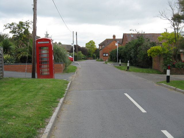
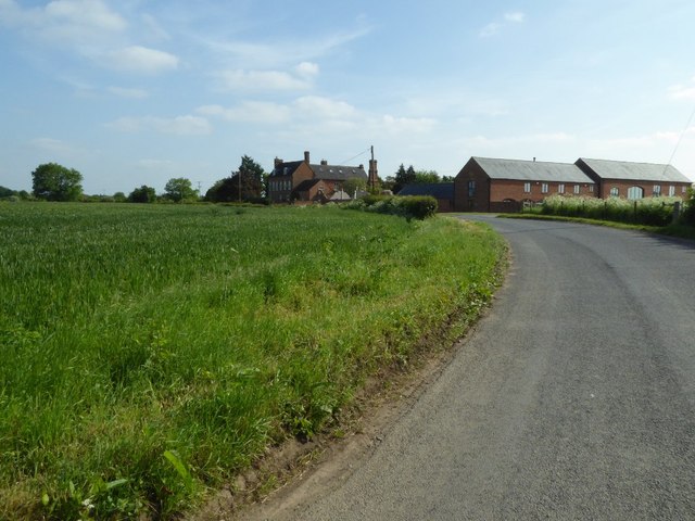
Pirton is a small village located in the county of Worcestershire, England. Situated approximately 7 miles south of the city of Worcester, Pirton is surrounded by picturesque countryside and offers a tranquil and rural setting.

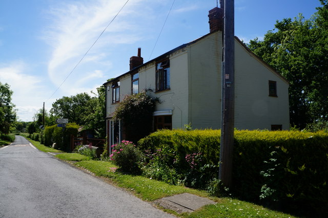
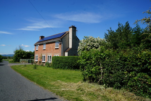
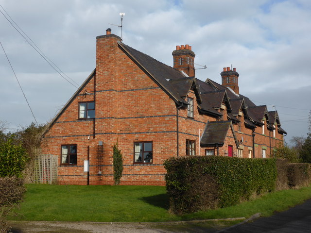
With a population of around 500 residents, Pirton has managed to retain its small, close-knit community feel. The village is characterized by its charming thatched-roof cottages, historic buildings, and well-maintained gardens. The local parish church, St. Peter's, is a notable feature of Pirton, dating back to the 12th century and boasting stunning medieval architecture.

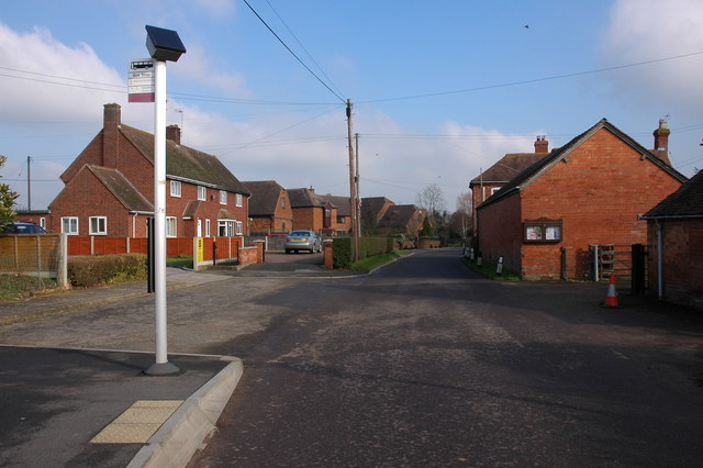
The village is primarily residential, with a mix of privately-owned houses and some rental properties. The residents of Pirton enjoy a peaceful lifestyle, away from the hustle and bustle of larger towns and cities. The village has limited amenities, including a village hall, a small post office, and a local pub serving traditional British fare.

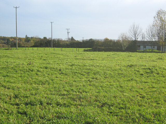
Pirton is ideally located for those who appreciate outdoor activities and the countryside. The surrounding landscape offers excellent opportunities for walking, cycling, and exploring the nearby Malvern Hills, an Area of Outstanding Natural Beauty. The village is also conveniently located for commuting, with good road links to Worcester and other nearby towns.

Overall, Pirton is a charming and idyllic village, perfect for those seeking a peaceful rural lifestyle while still being within reach of larger urban areas.

If you have any feedback on the listing, please let us know in the comments section below.

Pirton Images

Images are sourced within 2km of 52.125849/-2.169808 or Grid Reference SO8847. Thanks to Geograph Open Source API. All images are credited.

Houses on Station Road, Wadborough
Perry Wood End near Pirton Siding
Cottages near Wadborough
Bus Stop in Wadborough
Field to the south-east of Wadborough Hill Farm Wadborough Hill Farm which is situated in the next grid square can be seen to the right of centre.
Field to the south-east of Wadborough Hill Farm
Wadborough Hill Farm which is situated in the next grid square can be seen to the right of centre.
This is an ex-telephone box: it is no more... The public call box in Wadborough was sentenced to extinction on May 12th 2008 due to lack of use. The "kiss of death" notice is prominent in the middle of the door.  Incidentally, why the one-and-a-half lane road needs two bus stops defeats me.
This is an ex-telephone box: it is no more...
The public call box in Wadborough was sentenced to extinction on May 12th 2008 due to lack of use. The "kiss of death" notice is prominent in the middle of the door. Incidentally, why the one-and-a-half lane road needs two bus stops defeats me.
Wadborough Barn Conversions Not a lot happening in the depressed 2008 housing market.
Wadborough Barn Conversions
Not a lot happening in the depressed 2008 housing market.
Grassland near Wadborough Farm
Wadborough Hall Farm View north-east to the farmhouse on the right and a cluster of barns (some converted) on the left.
Wadborough Hall Farm
View north-east to the farmhouse on the right and a cluster of barns (some converted) on the left.
Grazing land near Wadborough Looking south-east from near Wadborough Hall Farm towards Bredon Hill in the distance. To the left of the power lines is Deerfold Wood.
Grazing land near Wadborough
Looking south-east from near Wadborough Hall Farm towards Bredon Hill in the distance. To the left of the power lines is Deerfold Wood.
Wadborough Hall Farm Since this farm was first photographed for this website in 2005 some of the farm buildings have been converted into residential accommodation.
Wadborough Hall Farm
Since this farm was first photographed for this website in 2005 some of the farm buildings have been converted into residential accommodation.
Footpath through a wheat field Footpath through a wheat field near Wadborough.
Footpath through a wheat field
Footpath through a wheat field near Wadborough.
House in Wadborough from the field side
Wadborough Hall Farm across the fields
A small conversion, Station Road, Wadborough
Across the fields to the Malverns from Wadborough
Sunnyside, No 49 and New Cottage Sidings Road, Wadborough, Worcestershire
Sunnyside, No 49 and New Cottage
Sidings Road, Wadborough, Worcestershire
Nissen hut and old railway carriages on the edge of a wood
Show me another place!

Pirton is located at Grid Ref: SO8847 (Lat: 52.125849, Lng: -2.169808)

Administrative County: Worcestershire

District: Wychavon

Police Authority: West Mercia

What 3 Words

///butlers.trump.scrap. Near Kempsey, Worcestershire

Nearby Locations

Pirton

Related Wikis

Pirton, Worcestershire

Pirton is a small village in the English county of Worcestershire. The village has been occupied since at least 1086, when Domesday listed the village...

Wadborough railway station

Wadborough railway station was located in Wadborough, Worcestershire. It opened in 1841 and closed in January 1965. It was situated to the west on the...

Kempsey railway station (Worcestershire)

Kempsey railway station, also known as Pirton railway station, served the village of Kempsey, Worcestershire, England, from 1841 to 1844 on the Birmingham...

Pirton railway station

Pirton railway station, also known as Kempsey railway station, served the village of Pirton, Worcestershire, England, from 1841 to 1844 on the Birmingham...

Nearby Amenities

Located within 500m of 52.125849,-2.169808
Pirton
Is In: Worcestershire
Place: village
Wikidata: Q7198116
Lat/Long: 52.1251635/-2.1769815
Post Box
Pirton House Farm
Collection Times: Mo-Fr 16:00; Sa 08:00
Note: New plate damaged so ref not visible, damaged old plate visible
Post Box Type: wall
Ref: WR8 65
Source Ref: dracos
Lat/Long: 52.1256595/-2.1713361
Post Box
Collection Times: Mo-Fr 16:00; Sa 08:00
Post Box Type: wall
Ref: WR8 276
Royal Cypher: GR
Royal Cypher Wikidata: Q33102273
Source: GPS Survey
Lat/Long: 52.1251743/-2.176598
Barrier: stile
Foot: yes
Lat/Long: 52.12364/-2.175329
Barrier: stile
Foot: yes
Lat/Long: 52.128917/-2.1709809
Barrier: stile
Foot: yes
Lat/Long: 52.125472/-2.1719867
Barrier: stile
Foot: yes
Lat/Long: 52.1289422/-2.1696287
Barrier: stile
Foot: yes
Lat/Long: 52.1260686/-2.1696555
Barrier: stile
Foot: yes
Lat/Long: 52.1289483/-2.1679237
Building: water_tank
Lat/Long: 52.1290901/-2.1667301
Barrier: stile
Foot: yes
Lat/Long: 52.1253374/-2.1690782
Power: pole
Lat/Long: 52.1239132/-2.1763672
Location Transition: yes
Power: pole
Lat/Long: 52.124357/-2.1762331
Pirton North
Power: pole
Transformer: distribution
Voltage Primary: 11000
Lat/Long: 52.1261955/-2.1710846
Power: pole
Lat/Long: 52.1260341/-2.1716183
Power: pole
Lat/Long: 52.1258777/-2.172195
Power: pole
Lat/Long: 52.1257065/-2.1727636
Power: pole
Lat/Long: 52.1251021/-2.1732867
Power: pole
Lat/Long: 52.124508/-2.1738279
Location Transition: yes
Power: pole
Lat/Long: 52.1223059/-2.1663317
Power: pole
Lat/Long: 52.1217542/-2.1672544
Power: pole
Lat/Long: 52.1220045/-2.1667984
Power: pole
Lat/Long: 52.1238967/-2.175191
Power: pole
Lat/Long: 52.1239/-2.1743569
Power: pole
Lat/Long: 52.1235822/-2.1746519
Crossing
Lat/Long: 52.1289762/-2.1701405
Noexit: yes
Lat/Long: 52.1227164/-2.173305
Power: pole
Lat/Long: 52.129618/-2.1684869
Power: pole
Lat/Long: 52.1289363/-2.1687752
Power: pole
Lat/Long: 52.1294422/-2.1732605
Power: pole
Lat/Long: 52.1292652/-2.1724233
Power: pole
Lat/Long: 52.129082/-2.1715888
Power: pole
Lat/Long: 52.1289059/-2.170927
Hill Road Pirton
Power: pole
Transformer: distribution
Voltage Primary: 11000
Lat/Long: 52.1287025/-2.1702276
Power: pole
Lat/Long: 52.1285403/-2.1696483
Power: pole
Lat/Long: 52.1273548/-2.169423
Power: pole
Lat/Long: 52.1266039/-2.1697529
Power: pole
Lat/Long: 52.1281583/-2.1690951
Pirton Corner
Power: pole
Transformer: distribution
Voltage Primary: 11000
Lat/Long: 52.1266267/-2.1697271
Pirton Smithy
Power: pole
Transformer: distribution
Voltage Primary: 11000
Lat/Long: 52.1257065/-2.1768124
Power: pole
Lat/Long: 52.1257629/-2.1755458
Power: pole
Lat/Long: 52.1258123/-2.1741872
The data included in this document is from www.openstreetmap.org. The data is made available under ODbL.

Have you been to Pirton?

Leave your review of Pirton below (or comments, questions and feedback).