Pillows Green

Settlement in Gloucestershire Forest of Dean

England

Pillows Green

Bend in the A417 towards Ledbury
Bend in the A417 towards Ledbury Credit: JThomas

Pillows Green is a small village nestled in the picturesque county of Gloucestershire, located in the southwest region of England. Situated amidst rolling hills and lush green countryside, this charming village offers a peaceful and idyllic setting for residents and visitors alike.

With a population of around 500 people, Pillows Green maintains a close-knit community atmosphere. The village is comprised of a mix of period cottages and modern housing, giving it a distinct character. The architecture reflects the rich history of the area, with some buildings dating back several centuries.

Despite its small size, Pillows Green boasts a range of amenities to cater to the needs of its residents. These include a local convenience store, a post office, and a village hall that serves as a hub for community gatherings and events. Additionally, there is a primary school within the village, providing educational opportunities for the younger population.

The village is surrounded by stunning natural beauty, making it a haven for nature enthusiasts. There are numerous walking and cycling routes that allow visitors to explore the countryside, taking in breathtaking views along the way. The nearby Cotswolds Area of Outstanding Natural Beauty offers further opportunities for outdoor activities and exploration.

Pillows Green benefits from its close proximity to larger towns and cities, such as Gloucester and Cheltenham, which offer a wider range of amenities and employment opportunities. The village also benefits from good transport links, with regular bus services connecting it to nearby towns.

Overall, Pillows Green provides a tranquil and welcoming environment, making it an appealing place to live or visit for those seeking a peaceful retreat in the heart of the Gloucestershire countryside.

If you have any feedback on the listing, please let us know in the comments section below.

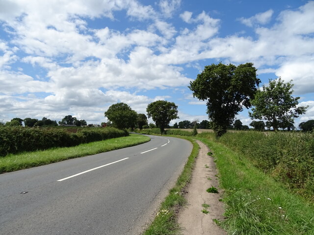
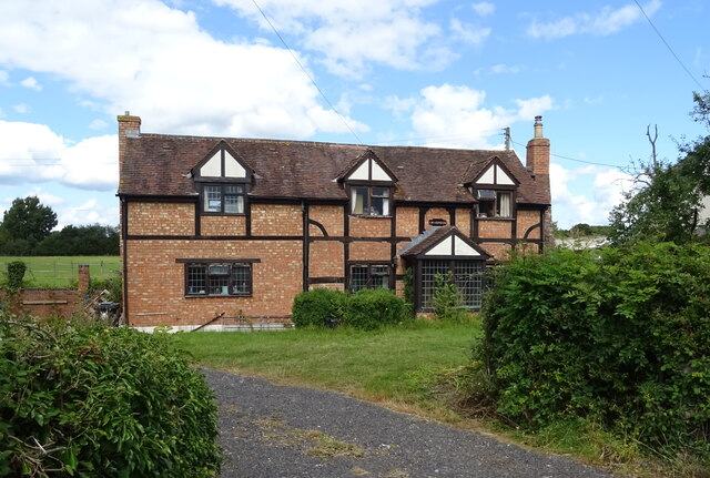
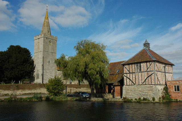
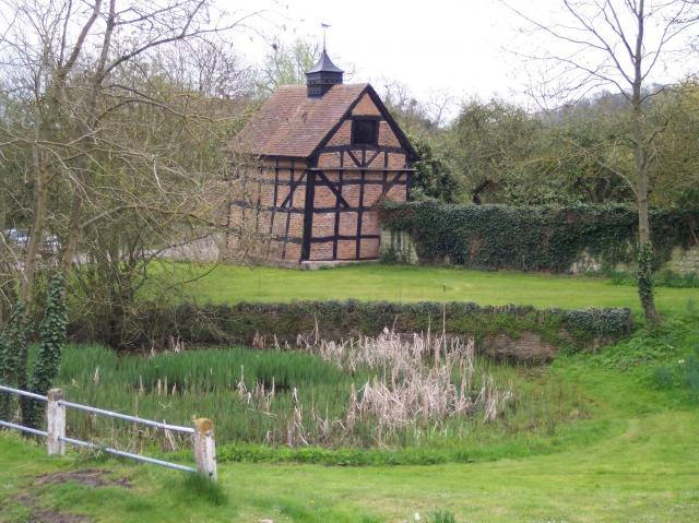
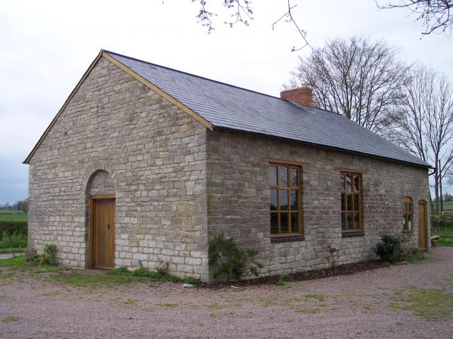
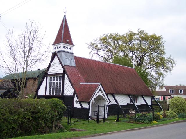
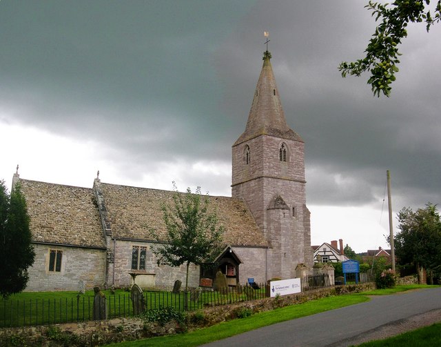
Pillows Green Images

Images are sourced within 2km of 51.965589/-2.299996 or Grid Reference SO7929. Thanks to Geograph Open Source API. All images are credited.

Bend in the A417 towards Ledbury
Cereal crop and track near Hethelpit Cross Off the A417.
Cereal crop and track near Hethelpit Cross
Off the A417.
Hawgreen House on the A417, Staunton.
Hawgreen
House on the A417, Staunton.
A417, Staunton Towards Ledbury.
A417, Staunton
Towards Ledbury.
The Swan Inn, Staunton  On Ledbury Road.
Closed on 26th June 2021, but hoping to reopen in the future.
The Swan Inn, Staunton
On Ledbury Road. Closed on 26th June 2021, but hoping to reopen in the future.
B4213, Staunton Heading east towards Tewkesbury.
B4213, Staunton
Heading east towards Tewkesbury.
Elizabeth II postbox on Ledbury Road, Staunton On the Post Office.
Postbox No. GL19 158.

See <a href="https://www.geograph.org.uk/photo/6949183">SO7929 : Post Office and shop on Ledbury Road, Staunton</a> for context.
Elizabeth II postbox on Ledbury Road, Staunton
On the Post Office. Postbox No. GL19 158. See SO7929 : Post Office and shop on Ledbury Road, Staunton for context.
Post Office and shop on Ledbury Road, Staunton Showing position of Postbox No. GL19 158.

See <a href="https://www.geograph.org.uk/photo/6949179">SO7929 : Elizabeth II postbox on Ledbury Road, Staunton</a> for postbox.
Post Office and shop on Ledbury Road, Staunton
Showing position of Postbox No. GL19 158. See SO7929 : Elizabeth II postbox on Ledbury Road, Staunton for postbox.
Elizabeth II postbox on Ledbury Road, Staunton Postbox No. GL19 214.
Elizabeth II postbox on Ledbury Road, Staunton
Postbox No. GL19 214.
Fishing pond, Staunton Court Seen from the churchyard which stands substantially higher than the pond.
Fishing pond, Staunton Court
Seen from the churchyard which stands substantially higher than the pond.
Farm track to Staunton Court The track is also a public footpath.
Farm track to Staunton Court
The track is also a public footpath.
Former Post Office, Staunton
Corse and Staunton Village Hall
Grass field adjacent to Lawn Farm
Staunton War Memorial Listed <span class="nowrap"><a title="https://historicengland.org.uk/listing/the-list/list-entry/1462054" rel="nofollow ugc noopener" href="https://historicengland.org.uk/listing/the-list/list-entry/1462054">Link</a><img style="margin-left:2px;" alt="External link" title="External link - shift click to open in new window" src="https://s1.geograph.org.uk/img/external.png" width="10" height="10"/></span>
Staunton War Memorial
Listed LinkExternal link
Staunton Court Business Park
Drain near Staunton Court
Show me another place!

Pillows Green is located at Grid Ref: SO7929 (Lat: 51.965589, Lng: -2.299996)

Administrative County: Gloucestershire

District: Forest of Dean

Police Authority: Gloucestershire

What 3 Words

///shout.moving.unsightly. Near Corse, Gloucestershire

Nearby Locations

Pillows Green Corse

Related Wikis

Staunton (near Gloucester)

Staunton is a village that lies close to the village of Corse. Staunton is eight miles north of the city of Gloucester. To the south-west of Staunton is...

Eldersfield

Eldersfield is a village and civil parish in the Malvern Hills district of Worcestershire, England. It had a population of 584 in 2021.It stands exactly...

Gadfield Elm Chapel

The Gadfield Elm Chapel near the village of Pendock in Worcestershire, England, is the oldest extant chapel of the Church of Jesus Christ of Latter-day...

Pendock

Pendock is a village and civil parish in the Malvern Hills district in the county of Worcestershire, England, situated about halfway between the towns...

South Wales Gas Pipeline

The South Wales Gas Pipeline (also known as the Milford Haven pipeline) is the UK's largest high-pressure gas pipeline. The 197-mile (317 km) pipeline...

Foscombe

Foscombe is a grade II* listed country house in Ashleworth, Gloucestershire. It was built around 1860 in the Gothic Revival style for the personal use...

Corse, Gloucestershire

Corse is a village in the English county of Gloucestershire, next to the village of Staunton. The parish lies on the tongue of land between the River Severn...

Hasfield Court

Hasfield Court is a Grade II* listed building in Hasfield, Gloucestershire, England. Hasfield Court was the site of a medieval manor house, the home of...

Nearby Amenities

Located within 500m of 51.965589,-2.299996
Mini Roundabout
Direction: clockwise
Lat/Long: 51.9625892/-2.3038741
Disused Shop: yes
Lat/Long: 51.963308/-2.3052007
Disused Shop: yes
Lat/Long: 51.9634015/-2.3049449
Pub
The Swan Inn
Lat/Long: 51.9625018/-2.3040719
Shop: convenience
Lat/Long: 51.9627999/-2.3039116
Bus Stop
Staunton Cross
Bus: yes
Naptan AtcoCode: 1600GLN027
Naptan Bearing: E
Naptan CommonName: Staunton Cross
Naptan Indicator: after
Naptan NaptanCode: gloatmdj
Naptan Street: Straight Lane B4213
Naptan Verified: no
Public Transport: platform
Source: naptan_import
Lat/Long: 51.9627323/-2.3027151
Bus Stop
Staunton Cross
Bus: yes
Naptan AtcoCode: 1600GLN028
Naptan Bearing: W
Naptan CommonName: Staunton Cross
Naptan Indicator: before
Naptan NaptanCode: gloatmdp
Naptan Street: Straight Lane B4213
Naptan Verified: no
Public Transport: platform
Source: naptan_import
Lat/Long: 51.9626646/-2.3028426
Public Bookcase
Booth: K6
Covered: booth
Disused Amenity: telephone
Man Made: telephone_box
Mapillary: 776946076358051
Public Bookcase Type: phone_box
Survey Date: 2022-06-05
Lat/Long: 51.9622801/-2.3037522
Post Box
Collection Times: Mo-Fr 17:30; Sa 10:30
Post Box Type: wall
Ref: GL19 158
Royal Cypher: EIIR
Royal Cypher Wikidata: Q33102113
Lat/Long: 51.962736/-2.3039295
Barrier: stile
Lat/Long: 51.9640286/-2.305848
Barrier: stile
Lat/Long: 51.9646887/-2.3056755
Barrier: stile
Lat/Long: 51.9663274/-2.304434
Power: pole
Lat/Long: 51.9661975/-2.2930674
Power: pole
Lat/Long: 51.9655844/-2.2935475
Power: pole
Lat/Long: 51.9652324/-2.2938171
Power: pole
Lat/Long: 51.9648481/-2.2947666
Pillows Green North
Power: pole
Transformer: distribution
Voltage Primary: 11000
Lat/Long: 51.9644746/-2.2956973
Power: pole
Lat/Long: 51.9643846/-2.2959133
Pillows Green Sewage Pump
Power: pole
Transformer: distribution
Voltage Primary: 11000
Lat/Long: 51.9648738/-2.2980295
Power: pole
Lat/Long: 51.9644044/-2.2974086
Power: pole
Lat/Long: 51.9640499/-2.2966602
Power: pole
Lat/Long: 51.9637095/-2.2959159
Power: pole
Lat/Long: 51.9630079/-2.295932
Power: pole
Lat/Long: 51.9623129/-2.2959495
Power: pole
Lat/Long: 51.9619378/-2.2965342
Power: pole
Lat/Long: 51.9616593/-2.2972839
Power: pole
Lat/Long: 51.9613684/-2.298059
Swan Inn
Power: pole
Transformer: distribution
Voltage Primary: 11000
Lat/Long: 51.962546/-2.3047645
Stone Walls Farm
Power: pole
Transformer: distribution
Voltage Primary: 11000
Lat/Long: 51.9665892/-2.3028789
Power: pole
Lat/Long: 51.9671233/-2.303066
Power: pole
Lat/Long: 51.9676608/-2.3032524
Red House Staunton
Power: pole
Transformer: distribution
Voltage Primary: 11000
Lat/Long: 51.9687771/-2.3036622
Power: pole
Lat/Long: 51.9681888/-2.3034462
Power: pole
Lat/Long: 51.9684061/-2.3041771
Material: wood
Power: pole
Lat/Long: 51.9686366/-2.3048973
The data included in this document is from www.openstreetmap.org. The data is made available under ODbL.

Have you been to Pillows Green?

Leave your review of Pillows Green below (or comments, questions and feedback).