Birdwood

Settlement in Gloucestershire Forest of Dean

England

Birdwood

Farmland near Merrimans, Huntley A line of trees mark a hedgerow, Merrimans Farm can be seen to the right with May Hill in the background.
Farmland near Merrimans, Huntley Credit: Philip Halling

Birdwood is a small village located in the Forest of Dean district of Gloucestershire, England. Situated approximately 4 miles southwest of the town of Huntley, Birdwood is a rural community surrounded by picturesque countryside and woodland areas.

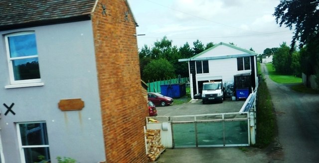
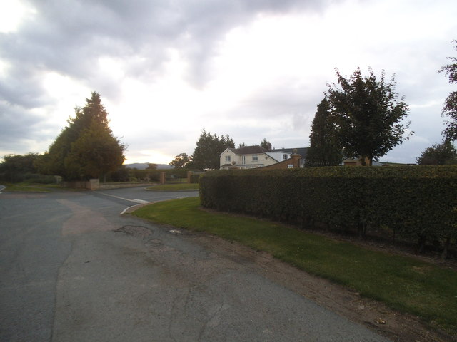
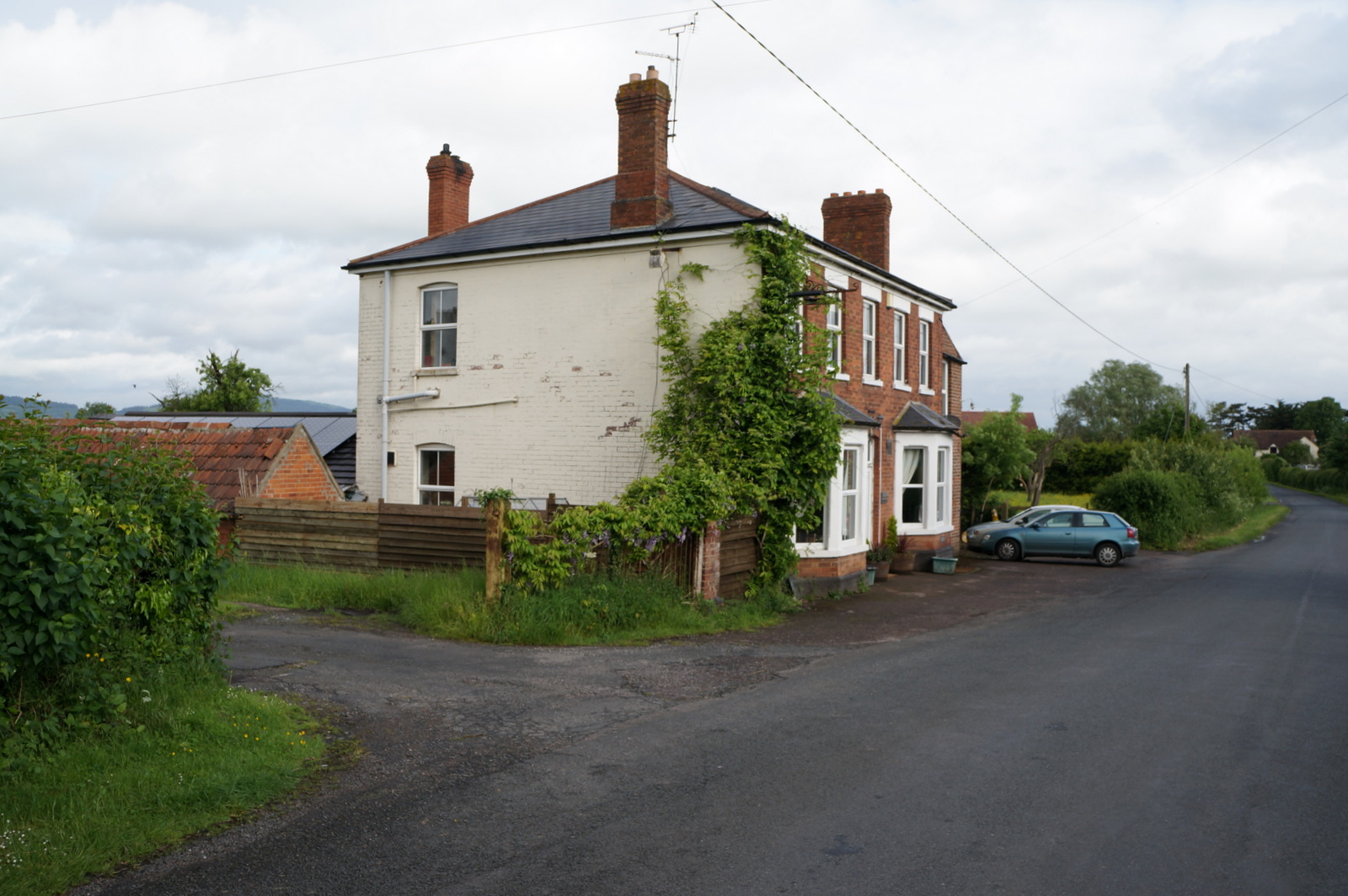
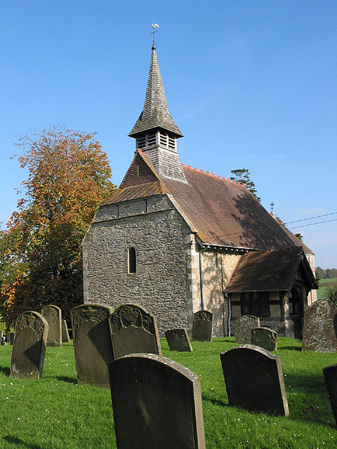
The village itself is characterized by a charming mix of traditional stone cottages and more modern houses, creating a diverse architectural landscape. The population of Birdwood is relatively small, with around 300 residents, contributing to its peaceful and close-knit atmosphere.

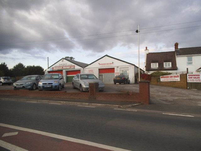
Despite its small size, Birdwood offers a range of amenities and services to its residents and visitors. The village has a primary school, providing education for children aged 4 to 11. Additionally, there is a village hall which serves as a hub for community events and gatherings.

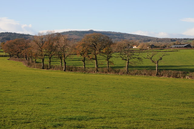
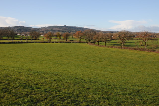
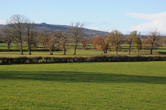
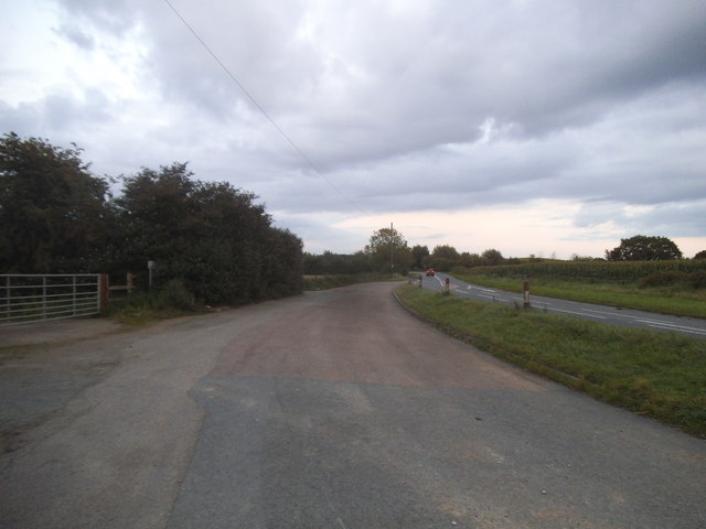
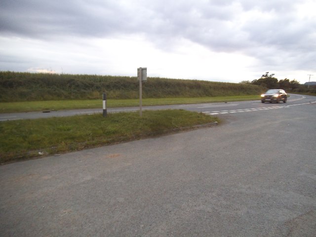
Surrounded by natural beauty, Birdwood offers numerous opportunities for outdoor activities. The nearby Forest of Dean provides ample opportunities for hiking, cycling, and wildlife spotting. The village is also located close to the River Severn, which offers boating and fishing opportunities.

While Birdwood is primarily a residential area, the village is conveniently located within easy reach of larger towns and cities. Gloucester, the county town of Gloucestershire, is just over 12 miles away, offering a wider range of amenities including shopping centers, restaurants, and cultural attractions.

Overall, Birdwood is a tranquil and picturesque village, offering a peaceful rural lifestyle while being well-connected to larger urban centers.

If you have any feedback on the listing, please let us know in the comments section below.
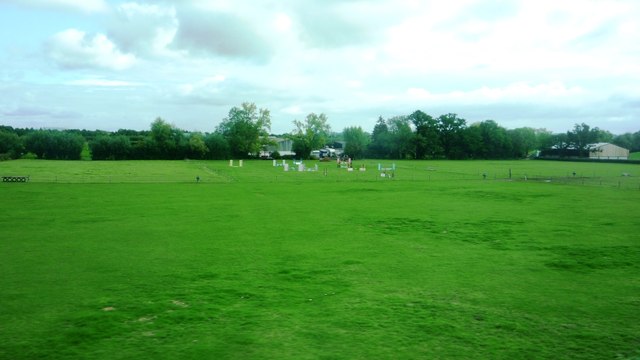
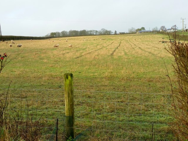
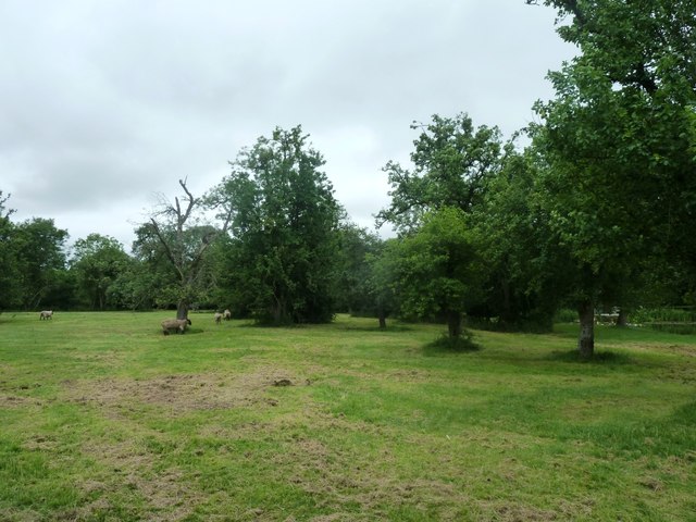
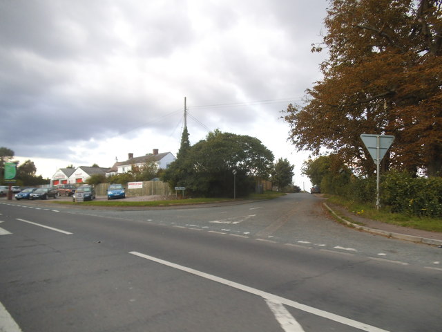
Birdwood Images

Images are sourced within 2km of 51.86534/-2.374659 or Grid Reference SO7418. Thanks to Geograph Open Source API. All images are credited.

Farmland near Merrimans, Huntley A line of trees mark a hedgerow, Merrimans Farm can be seen to the right with May Hill in the background.
Farmland near Merrimans, Huntley
A line of trees mark a hedgerow, Merrimans Farm can be seen to the right with May Hill in the background.
View to May Hill View to May Hill from a footpath situated between Bulley and Huntley.
View to May Hill
View to May Hill from a footpath situated between Bulley and Huntley.
Line of trees Line of trees in a field near Birdwood possibly marking the line of a former hedge, May Hall is in the distance.
Line of trees
Line of trees in a field near Birdwood possibly marking the line of a former hedge, May Hall is in the distance.
Road to Yew Tree Farm (Greenfields)
Equestrian fields at Birdwood Taken from A40, opposite the King's Head. Looking towards Meadow Equine Practice.
Equestrian fields at Birdwood
Taken from A40, opposite the King's Head. Looking towards Meadow Equine Practice.
Open fields near Churcham Viewed from the A40. Large field has agricultural building not marked on OS map.
Open fields near Churcham
Viewed from the A40. Large field has agricultural building not marked on OS map.
Bulley Lane Taken at junction with the A40
Bulley Lane
Taken at junction with the A40
Sheep pasture at Birdwood Looking west.
Sheep pasture at Birdwood
Looking west.
Fields and sheep at Berry's Place Farm Taken during open day for the NGS
Fields and sheep at Berry's Place Farm
Taken during open day for the NGS
The A40 at the junction of Bulley Lane, Birdwood
Birdwood Garage on the A40
The A40, Birdwood
The A40, Birdwood
Layby on The A40, Birdwood
The A40, Birdwood
The A40, Birdwood
Houses on the A40, Huntley
Dymock: Drews Farm 1-km square visited as part of the Gloucestershire Winter Bird Survey. J Putley.
Dymock: Drews Farm
1-km square visited as part of the Gloucestershire Winter Bird Survey. J Putley.
Bulley Lane Someone has optimistically planted a chestnut in the fork of the junction.
Bulley Lane
Someone has optimistically planted a chestnut in the fork of the junction.
Show me another place!

Birdwood is located at Grid Ref: SO7418 (Lat: 51.86534, Lng: -2.374659)

Administrative County: Gloucestershire

District: Forest of Dean

Police Authority: Gloucestershire

What 3 Words

///consented.bonds.jungle. Near Huntley, Gloucestershire

Nearby Locations

Birdwood

Related Wikis

Nearby Amenities

Located within 500m of 51.86534,-2.374659
Bus Stop
Bulley Ln
Naptan AtcoCode: 1600GLF073
Naptan Bearing: NW
Naptan CommonName: Bulley Ln
Naptan Indicator: Opp
Naptan NaptanCode: gloapdja
Naptan Street: A40
Naptan Verified: no
Source: naptan_import
Lat/Long: 51.8665585/-2.3759379
Bus Stop
Bulley Ln
Naptan AtcoCode: 1600GLF074
Naptan Bearing: SE
Naptan CommonName: Bulley Ln
Naptan NaptanCode: gloapdgt
Naptan Street: A40
Naptan Verified: no
Source: naptan_import
Lat/Long: 51.8665692/-2.3754007
The Home Farm
Place: locality
Source: OS Opendata Streetview
Lat/Long: 51.8637028/-2.370245
Birdwood Farm
Place: locality
Source: OS Opendata Streetview
Lat/Long: 51.8645906/-2.3720474
Pidgeon House
Place: farm
Source: OS opendata streetview
Lat/Long: 51.8616451/-2.3782072
Wood Farm
Place: farm
Source: OS opendata streetview
Lat/Long: 51.8646664/-2.3789046
Post Box
Collection Times: Mo-Fr 17:30; Sa 10:15
Post Box Type: lamp
Ref: GL19 45
Royal Cypher: EIIR
Royal Cypher Wikidata: Q33102113
Lat/Long: 51.8665982/-2.3753886
Barrier: kissing_gate
Lat/Long: 51.8638751/-2.3793001
Barrier: kissing_gate
Lat/Long: 51.8640113/-2.3736295
The data included in this document is from www.openstreetmap.org. The data is made available under ODbL.

Have you been to Birdwood?

Leave your review of Birdwood below (or comments, questions and feedback).