Pettistree
Settlement in Suffolk East Suffolk
England
Pettistree
Pettistree is a charming village located in the county of Suffolk, England. It is situated just three miles east of the market town of Woodbridge and approximately 80 miles northeast of London. With a population of around 300 residents, Pettistree maintains a close-knit community atmosphere.
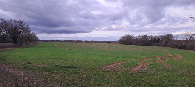
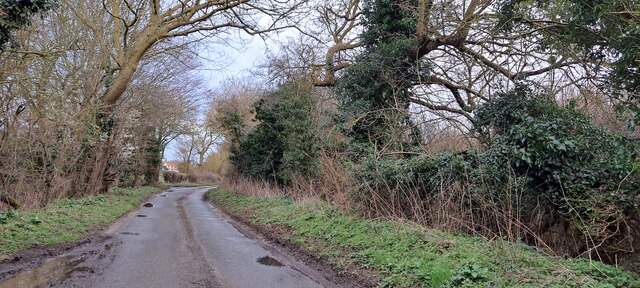
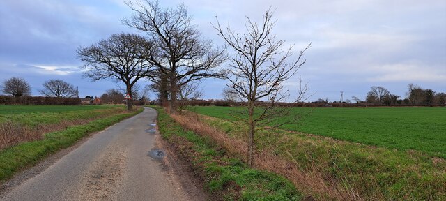
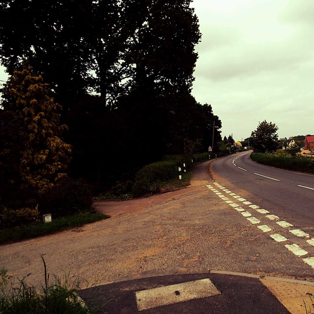
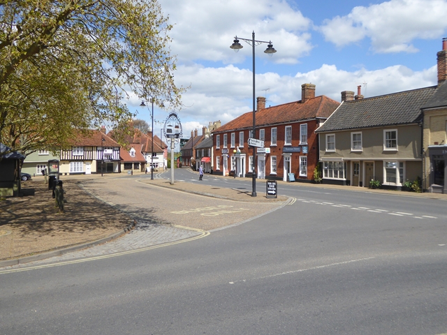
The village is renowned for its idyllic rural setting, surrounded by picturesque countryside and farmland. Its landscape is dotted with traditional thatched cottages, historic buildings, and well-manicured gardens, adding to its quintessential English charm. Pettistree is situated within the Suffolk Coastal Area of Outstanding Natural Beauty, making it a popular destination for nature lovers and outdoor enthusiasts.
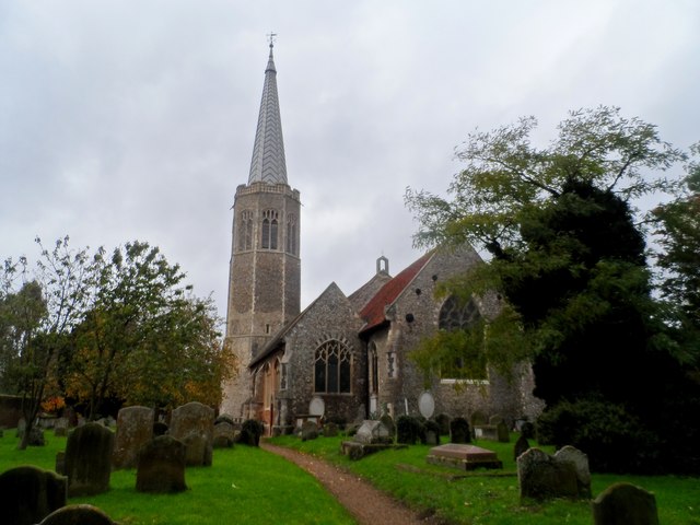
The heart of Pettistree is its village church, dedicated to All Saints. This beautiful medieval church boasts a striking tower and is considered a significant architectural gem in the area. The village also has a community-owned pub, The Greyhound, which serves as a social hub for locals and visitors alike, offering a friendly atmosphere and traditional pub fare.
Pettistree is ideally located for those seeking a peaceful and tranquil lifestyle while still having convenient access to amenities. The nearby town of Woodbridge provides a range of shops, restaurants, and schools, ensuring that residents have all necessary services within reach.
For those interested in history and culture, the National Trust property of Sutton Hoo is just a short distance away from Pettistree. This ancient burial ground offers a fascinating glimpse into Anglo-Saxon history and archaeology.
Overall, Pettistree is a picturesque village that offers a serene and close-knit community, surrounded by stunning countryside and rich historical attractions.
If you have any feedback on the listing, please let us know in the comments section below.
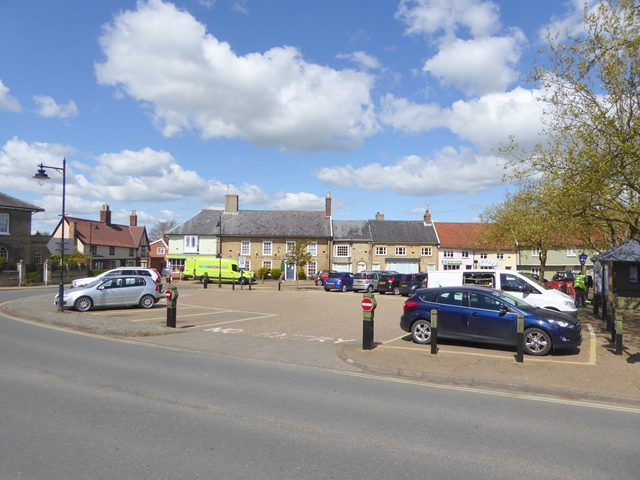
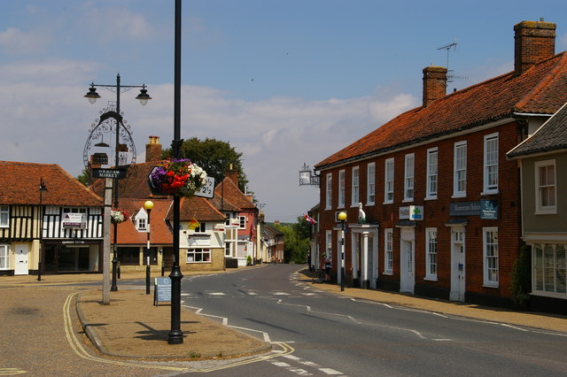
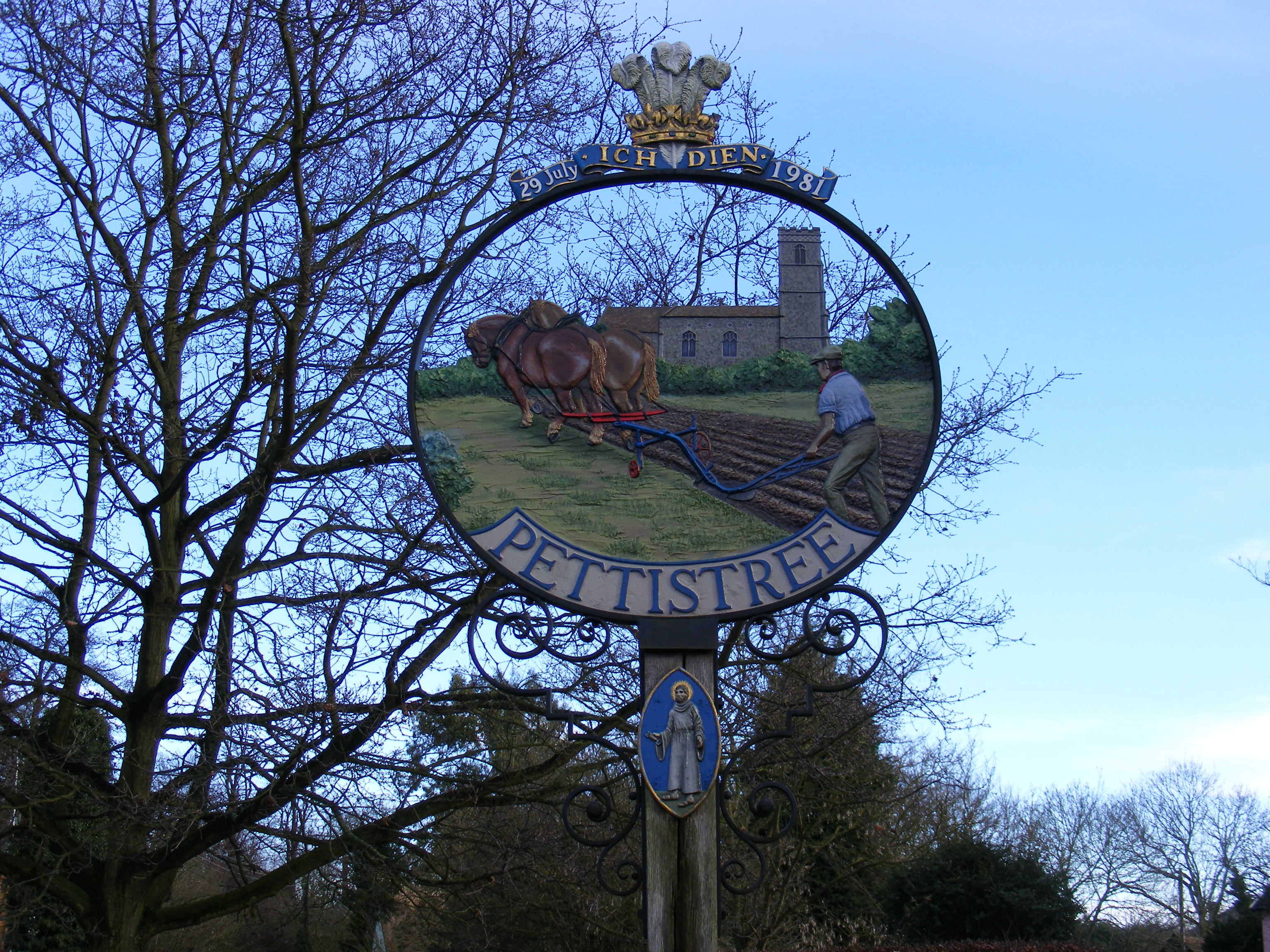
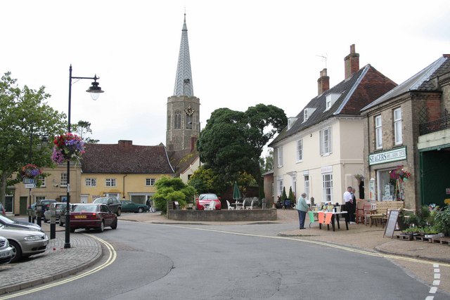
Pettistree Images
Images are sourced within 2km of 52.143744/1.353441 or Grid Reference TM2954. Thanks to Geograph Open Source API. All images are credited.


Pettistree is located at Grid Ref: TM2954 (Lat: 52.143744, Lng: 1.353441)
Administrative County: Suffolk
District: East Suffolk
Police Authority: Suffolk
What 3 Words
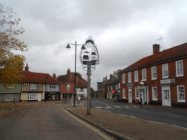
///scarred.martini.cries. Near Wickham Market, Suffolk
Nearby Locations
Related Wikis
Pettistree
Pettistree is a small village and a civil parish in the East Suffolk district, in the English county of Suffolk. According to the 2011 Census, Pettistree...
Wickham Market
Wickham Market is a large village and electoral ward in the River Deben valley, Suffolk, England, within the Suffolk Coastal heritage area. It is on the...

Wickham Market Hoard
The Wickham Market Hoard is a hoard of 840 Iron Age gold staters found in a field at Dallinghoo near Wickham Market, Suffolk, England in March 2008 by...

Manor of Byng
The Manor of Byng is a former manorial estate located in the county of Suffolk, UK. The manor house is the 16th-century Byng Hall. The manor is located...

Deben Mill
Deben Mill is a water mill on the River Deben located on the boundary between the civil parishes of Wickham Market and Hacheston, in Suffolk, England....

Ufford, Suffolk
Ufford is a village and civil parish in Suffolk, England. Its population of 808 at the 2001 census rose to 948 at the 2011 Census and was estimated at...
Campsey Priory
Campsey Priory, (Campesse, Kampessie, etc.), was a religious house of Augustinian canonesses at Campsea Ashe, Suffolk, about 1.5 miles (2.5 km) south east...

Dallinghoo
Dallinghoo is a village about three miles (5 km) north of Woodbridge, Suffolk, England. == Location == Dallinghoo is formed from Church Road to the west...
Related Videos

Road trip!
Road trip! Taking the other ICU to Aldeburgh Vets, so they can start the wildlife emergency care. Then on to the beach for photos ...

How to Walk in the Park
Another surreal and serene day in the life of Chartmaster Infurion, where all he's trying to do is take a walk in the park. Should be ...

Sunny Suffolk January 2019
But it was bloody cold! ❄️ #ufford #suffolk #Labrador #2019.

River Deben & Ramsholt Arms - Suffolk
Another early morning start to catch the sunrise from the South bank of the river Deben, in Suffolk, UK. I always struggle with these ...
Nearby Amenities
Located within 500m of 52.143744,1.353441Have you been to Pettistree?
Leave your review of Pettistree below (or comments, questions and feedback).