Perton

Settlement in Staffordshire Stafford

England

Perton

Muddy Path The view in Castlecroft near the Smestow School and the South Staffordshire Railway Walk in Wolverhampton.
Muddy Path Credit: Gordon Griffiths

Perton is a suburban village located in the county of Staffordshire, England. Situated approximately 5 miles southwest of Wolverhampton, it falls within the South Staffordshire district. Perton is surrounded by picturesque countryside, with the Staffordshire and Worcestershire Canal passing through the village.

Originally an agricultural area, Perton has experienced significant development since the 1970s, resulting in a growing population. It is now primarily a residential area, characterized by a mix of modern housing estates and older properties. The village offers a range of facilities and amenities, including a supermarket, local shops, restaurants, and pubs, catering to the needs of its residents.

Perton benefits from excellent transport links, with the A454 road connecting it to Wolverhampton and nearby towns. The village is also served by several bus routes, providing easy access to surrounding areas. Wolverhampton railway station, located nearby, offers further connectivity to major cities across the United Kingdom.

Education in Perton is well catered for, with a number of primary schools and secondary schools serving the local community. The village also boasts a community center, sports facilities, and green spaces, providing opportunities for recreational activities.

Overall, Perton offers a pleasant and convenient place to live, with its combination of suburban living, good transport links, and access to essential amenities, making it an attractive location for families and professionals alike.

If you have any feedback on the listing, please let us know in the comments section below.
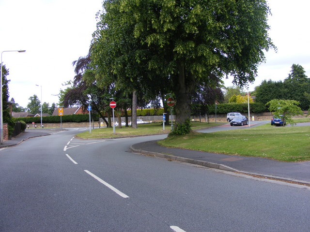
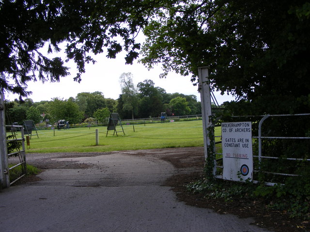
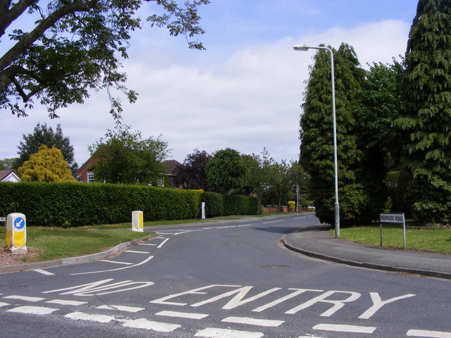
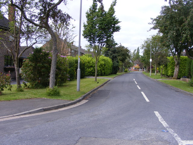
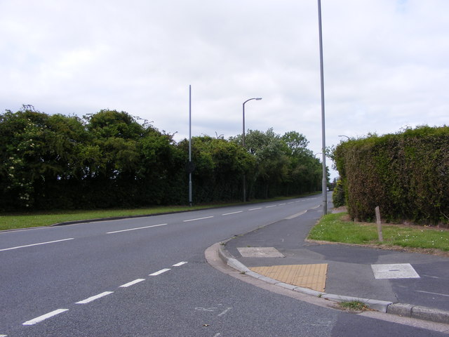
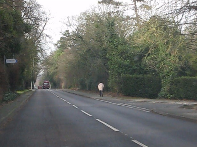
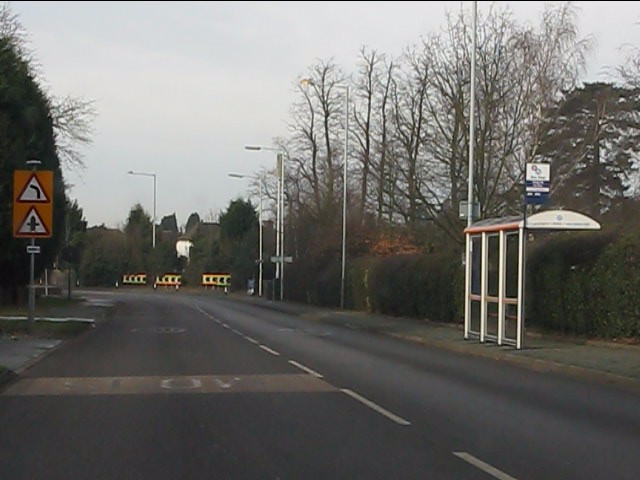
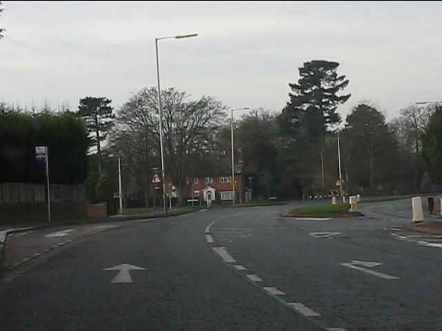
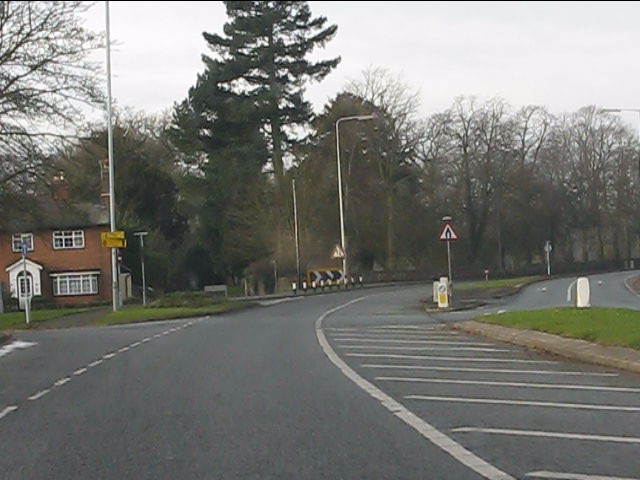
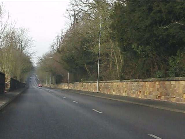
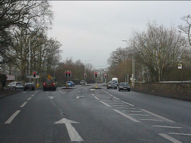
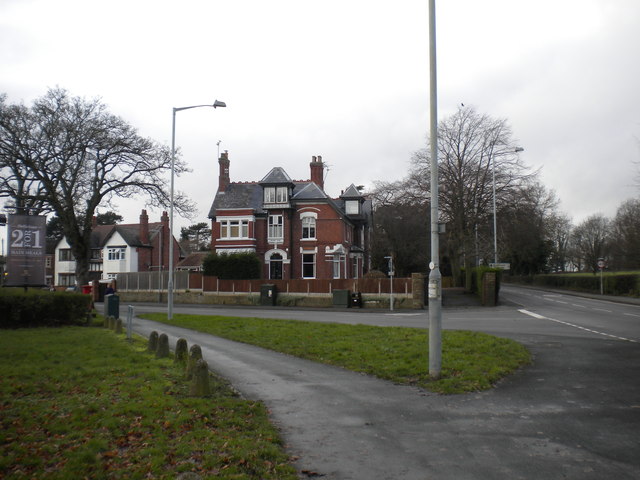
Perton Images

Images are sourced within 2km of 52.595232/-2.2001834 or Grid Reference SO8699. Thanks to Geograph Open Source API. All images are credited.

Muddy Path The view in Castlecroft near the Smestow School and the South Staffordshire Railway Walk in Wolverhampton.
Muddy Path
The view in Castlecroft near the Smestow School and the South Staffordshire Railway Walk in Wolverhampton.
Wergs Junction Yew Tree Lane joins the A41 Holyhead road at the Wergs, Wolverhampton.
Wergs Junction
Yew Tree Lane joins the A41 Holyhead road at the Wergs, Wolverhampton.
Company of Archers The view of the Wolverhampton Company ground off the Wergs Hall Road, Tettenhall.
Company of Archers
The view of the Wolverhampton Company ground off the Wergs Hall Road, Tettenhall.
Redhouse Road The view from Woodthorne Road South, Wolverhampton.
Redhouse Road
The view from Woodthorne Road South, Wolverhampton.
Wrekin Drive The view from Wrekin Lane, Wolverhampton.
Wrekin Drive
The view from Wrekin Lane, Wolverhampton.
Yew Tree Lane View The view from Wrekin Lane, Wolverhampton.
Yew Tree Lane View
The view from Wrekin Lane, Wolverhampton.
Wergs Road (A41) at Danescourt Road
Wergs Road (A41) nearing Popes Lane
Dual carriageway on Wergs Road
Wergs Road (A41) at Yew Tree Lane
A41 running straight in Staffordshire The old London-Birkenhead road has just passed from West Midlands county into Staffordshire.
A41 running straight in Staffordshire
The old London-Birkenhead road has just passed from West Midlands county into Staffordshire.
A41 - Wrottesley Park traffic lights
East end of Wrottesley Road, Tettenhall (2) Trolleybuses on route 1 from Wolverhampton town centre once turned in this junction, and after their replacement on this route in 1963, motorbuses did the same until the route was extended to Tettenhall Wood via Regis Road in the mid 1980s. The junction has since been remodelled (the patch of grass in the centre of the picture has replaced part of the road), so I doubt one could turn a bus in it now.
East end of Wrottesley Road, Tettenhall (2)
Trolleybuses on route 1 from Wolverhampton town centre once turned in this junction, and after their replacement on this route in 1963, motorbuses did the same until the route was extended to Tettenhall Wood via Regis Road in the mid 1980s. The junction has since been remodelled (the patch of grass in the centre of the picture has replaced part of the road), so I doubt one could turn a bus in it now.
Parkway, Perton Parkway is the main distributor road around Perton estate, and is almost entirely circumnavigated by bus route 10, the main service into Wolverhampton. The crash barriers protect a <a href="https://www.geograph.org.uk/photo/3896094">SJ8600 : Pedestrian subway under Parkway, Perton</a>.
Parkway, Perton
Parkway is the main distributor road around Perton estate, and is almost entirely circumnavigated by bus route 10, the main service into Wolverhampton. The crash barriers protect a SJ8600 : Pedestrian subway under Parkway, Perton.
Pedestrian subway under Parkway, Perton This subway, in the northern part of the estate, links Browning Grove with Harald Close.
Pedestrian subway under Parkway, Perton
This subway, in the northern part of the estate, links Browning Grove with Harald Close.
The Clubhouse, Wergs Golf Club
Estate Walls along the Holyhead Road The sandstone walls to Wrottesley Park line the Holyhead Road on the edge of Wolverhampton. There are concerns with the preservation of the walls due to the cost of repair and theft of stone.
Estate Walls along the Holyhead Road
The sandstone walls to Wrottesley Park line the Holyhead Road on the edge of Wolverhampton. There are concerns with the preservation of the walls due to the cost of repair and theft of stone.
Wrottesley Grange A building on the edge of the Wrottesley Park Estate, with stables and coachouse adjacent.
Wrottesley Grange
A building on the edge of the Wrottesley Park Estate, with stables and coachouse adjacent.
Show me another place!

Perton is located at Grid Ref: SO8699 (Lat: 52.595232, Lng: -2.2001834)

Administrative County: Staffordshire

District: Stafford

Police Authority: Staffordshire

What 3 Words

///ticket.dollar.strain. Near Codsall, Staffordshire

Nearby Locations

Perton

Related Wikis

Perton

Perton is a large village and civil parish located in the South Staffordshire District, Staffordshire, England. It lies 3 miles to the south of Codsall...

St Regis Church of England Academy

St Regis Church of England Academy is a coeducational Church of England secondary school and sixth form located at Tettenhall, 2.5 miles (4.0 km) north...

Wightwick

Wightwick ( WIT-ik) is a part of Tettenhall Wightwick ward in Wolverhampton, West Midlands, England. It is named after an ancient local family the "de...
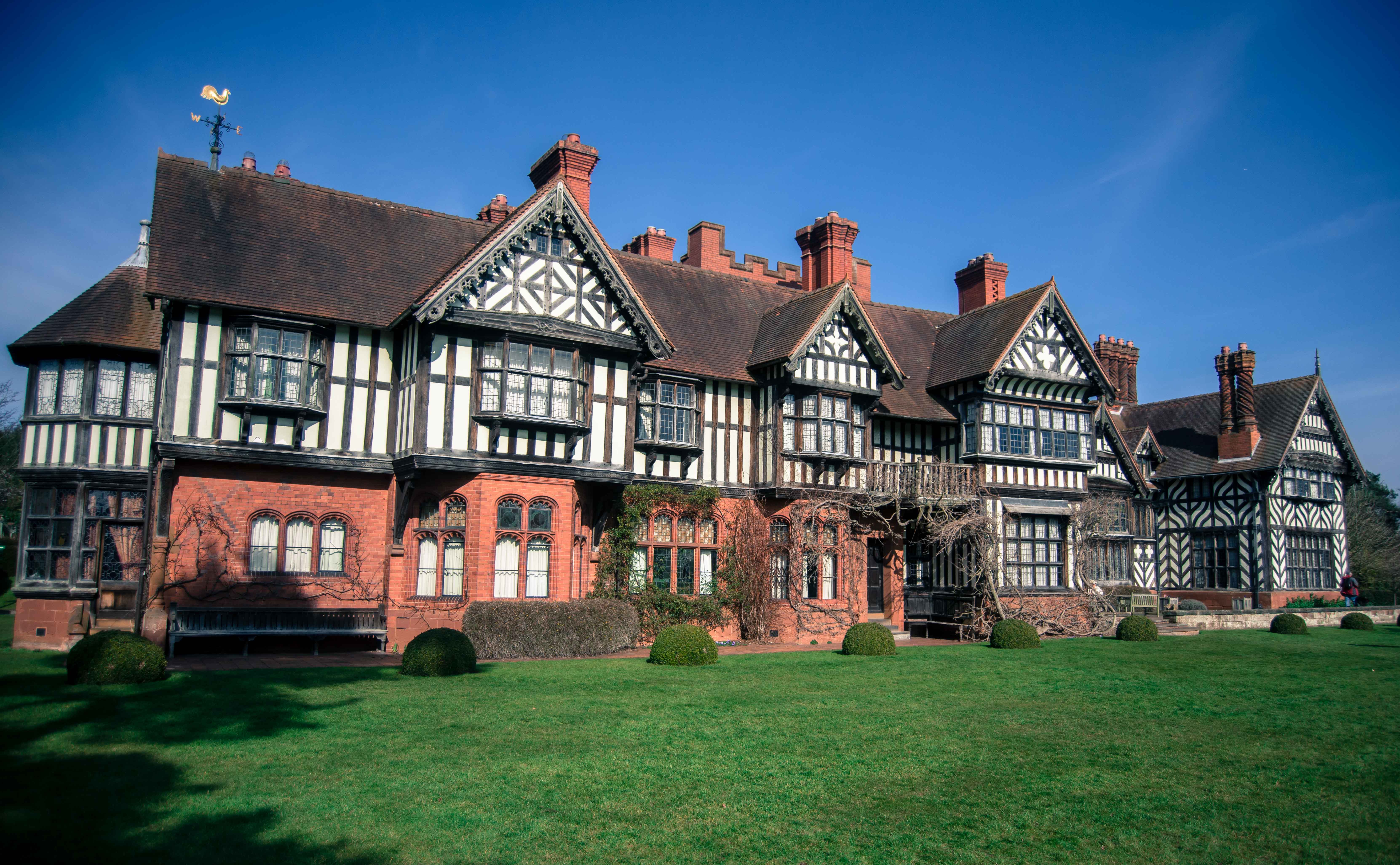
Wightwick Manor

The legacy of a family's passion for Victorian art and design, Wightwick Manor (pronounced "Wittick") is a Victorian manor house located on Wightwick Bank...

Tettenhall Wood

Tettenhall Wood is a suburb of Wolverhampton, West Midlands, England. It is west of Wolverhampton city centre, within the Tettenhall Wightwick ward. It...

Compton, Wolverhampton

Compton is a suburb of Wolverhampton, West Midlands, England. It is located to the west of Wolverhampton city centre on the A454, within the Tettenhall...

Tettenhall Wightwick (ward)

Tettenhall Wightwick is a ward of Wolverhampton City Council, West Midlands. The population of this ward taken at the 2011 census was 10,872. == Geography... ==

Smestow Academy

Smestow Academy (formerly Smestow School), also known as simply Smestow (pronounced "smest-oh") is a coeducational secondary school and sixth form located...

Nearby Amenities

Located within 500m of 52.595232,-2.2001834
Perton
Created By: Potlatch 0.6a
Place: suburb
Lat/Long: 52.5957196/-2.2033801
Mini Roundabout
Source: bing
Lat/Long: 52.5926388/-2.2000059
Mini Roundabout
Source: bing
Lat/Long: 52.5967199/-2.1960805
Crossing
Crossing: uncontrolled
Source: bing
Lat/Long: 52.5968207/-2.1963301
Mini Roundabout
Source: bing
Lat/Long: 52.5972767/-2.2001452
Post Box
Postal Code: WV6
Ref: WV6 72
Lat/Long: 52.5962034/-2.1952272
Post Box
Postal Code: WV6
Ref: WV6 161
Lat/Long: 52.5926225/-2.1978818
Fuel
Sainsburys Filling Station
Brand: Sainsbury's
Brand Wikidata: Q152096
Brand Wikipedia: en:Sainsbury's
Website: https://stores.sainsburys.co.uk/0136/perton-petrol-station
Lat/Long: 52.5960559/-2.2021581
Car Wash
Lat/Long: 52.5958668/-2.2023134
Post Box
Postal Code: WV6
Ref: WV6 63
Lat/Long: 52.595/-2.2026247
Post Office
Perton Post Office
Addr City: Wolverhampton
Addr Housenumber: 7-9
Addr Postcode: WV6 7QH
Addr Street: Anders Square
Addr Village: Perton
Brand: Post Office
Brand Wikidata: Q1783168
Opening Hours: Mo,Tu,Th 07:00-18:30; We,Fr,Sa 07:00-19:30; Su 07:00-14:00
Ref Pol Id: 8200
Website: https://www.postoffice.co.uk/branch-finder/2202468/perton
Lat/Long: 52.5950391/-2.2029047
Shop: hairdresser
Lat/Long: 52.5952216/-2.2028608
Barrier: bollard
Bicycle: yes
Foot: yes
Lat/Long: 52.5986256/-2.1974898
Bus Stop
Rydal Drive
Bus: yes
Naptan AtcoCode: 3800C608200
Naptan Bearing: SW
Naptan CommonName: Richmond Drive
Naptan Indicator: Adj
Naptan Landmark: Richmond Drive (E)
Naptan Street: The Parkway
Naptan Verified: no
Public Transport: platform
Source: naptan_import
Lat/Long: 52.5933348/-2.1955049
Bus Stop
Sainsbury's Store
Bus: yes
Layby: yes
Naptan AtcoCode: 3800C608300
Naptan Bearing: NW
Naptan CommonName: Sainsbury's Store
Naptan Indicator: Adj
Naptan Landmark: Sainsbury's
Naptan Street: Coleridge Drive
Naptan Verified: no
Public Transport: platform
Source: naptan_import
Lat/Long: 52.5961864/-2.2022739
Bus Stop
Severn Drive
Bus: yes
Naptan AtcoCode: 3800C608400
Naptan Bearing: W
Naptan CommonName: Severn Drive
Naptan Indicator: Opp
Naptan Landmark: Severn Drive
Naptan Street: The Parkway
Naptan Verified: no
Public Transport: platform
Source: naptan_import
Lat/Long: 52.5923605/-2.2033298
Bus Stop
Richmond Drive
Bus: yes
Naptan AtcoCode: 3800C628201
Naptan Bearing: W
Naptan CommonName: Richmond Drive
Naptan Indicator: Adj
Naptan Landmark: Richmond Drive (W)
Naptan Street: The Parkway
Naptan Verified: no
Public Transport: platform
Source: naptan_import
Lat/Long: 52.5925293/-2.1986858
Bus Stop
Dippons Lane
Bus: yes
Naptan AtcoCode: 3800C628300
Naptan Bearing: SW
Naptan CommonName: Dippons Lane
Naptan Indicator: Adj
Naptan Street: Gainsborough Drive
Naptan Verified: no
Public Transport: platform
Source: naptan_import
Lat/Long: 52.5971762/-2.1948428
Bus Stop
Dippons Lane
Bus: yes
Naptan AtcoCode: 3800C628301
Naptan Bearing: NE
Naptan CommonName: Dippons Lane
Naptan Indicator: Adj
Naptan Street: Gainsborough Drive
Naptan Verified: no
Public Transport: platform
Source: naptan_import
Lat/Long: 52.5972997/-2.1948125
Bus Stop
Gainsborough Drive
Bus: yes
Naptan AtcoCode: 3800C628501
Naptan Bearing: SE
Naptan CommonName: Gainsborough Drive
Naptan Indicator: Adj
Naptan Landmark: Gainsborough Drive
Naptan Street: The Parkway
Naptan Verified: no
Public Transport: platform
Source: naptan_import
Lat/Long: 52.5965661/-2.1956321
Bus Stop
Sandown Drive
Bus: yes
Naptan AtcoCode: 3800C628502
Naptan Bearing: NW
Naptan CommonName: Sandown Drive
Naptan Indicator: Adj
Naptan Landmark: Sandown Drive
Naptan Street: The Parkway
Naptan Verified: no
Public Transport: platform
Source: naptan_import
Lat/Long: 52.5963144/-2.1956162
Bus Stop
Mercia Drive
Bus: yes
Naptan AtcoCode: 3800C628601
Naptan Bearing: E
Naptan CommonName: Mercia Drive
Naptan Indicator: Adj
Naptan Landmark: Mercia Drive
Naptan Street: The Parkway
Naptan Verified: no
Public Transport: platform
Source: naptan_import
Lat/Long: 52.5971471/-2.1976573
Bus Stop
Mercia Drive
Bus: yes
Naptan AtcoCode: 3800C628602
Naptan Bearing: W
Naptan CommonName: Mercia Drive
Naptan Indicator: opp
Naptan Street: The Parkway
Naptan Verified: no
Public Transport: platform
Source: naptan_import
Lat/Long: 52.5970659/-2.1978636
Bus Stop
Offa's Drive
Bus: yes
Naptan AtcoCode: 3800C649301
Naptan Bearing: SE
Naptan CommonName: Offa's Drive
Naptan Indicator: Adj
Naptan Landmark: Offa's Drive
Naptan Street: The Parkway
Naptan Verified: no
Public Transport: platform
Source: naptan_import
Lat/Long: 52.5987797/-2.2027812
Bus Stop
Offa's Drive
Bus: yes
Naptan AtcoCode: 3800C649302
Naptan Bearing: NW
Naptan CommonName: Manston Drive
Naptan Indicator: Adj
Naptan Landmark: Manston Drive (S)
Naptan Street: The Parkway
Naptan Verified: no
Public Transport: platform
Source: naptan_import
Lat/Long: 52.5984602/-2.202683
Turning Circle
Lat/Long: 52.5972828/-2.2050703
Restaurant
Flamingo
Cuisine: curry
Phone: +44 1902 744500
Lat/Long: 52.5948123/-2.2030861
Fast Food
Perton Fish & Chips
Cuisine: fish_and_chips
Phone: +44 1902 754414
Lat/Long: 52.5945568/-2.2026891
Cafe
Lat/Long: 52.5946526/-2.2026891
Recycling
Lat/Long: 52.5961776/-2.2028715
Crossing
Crossing: uncontrolled
Lat/Long: 52.5958175/-2.2033988
Source: bing
Traffic Calming: bump
Lat/Long: 52.592635/-2.1971608
Dixons
Addr City: Perton, Wolverhampton
Addr Housenumber: 16
Addr Postcode: WV6 7QH
Addr Street: Anders Square
Office: estate_agent
Phone: +44 1902 489920
Website: https://www.dixonsestateagents.co.uk/forsaleoffice/Perton/461
Lat/Long: 52.5947923/-2.2029284
Defibrillator
Emergency: defibrillator
Note: precise location required
Source: West Midlands Ambulance Service FOI request
Lat/Long: 52.5942289/-2.2046256
Source: bing
Traffic Calming: bump
Lat/Long: 52.592593/-2.1991002
Source: bing
Traffic Calming: bump
Lat/Long: 52.5957376/-2.1950514
Crossing
Crossing: uncontrolled
Source: bing
Lat/Long: 52.5951372/-2.1948998
Source: bing
Traffic Calming: bump
Lat/Long: 52.5941295/-2.1950514
Traffic Calming: bump
Lat/Long: 52.593314/-2.1955905
Source: bing
Traffic Calming: bump
Lat/Long: 52.5964949/-2.1957092
Crossing
Crossing: uncontrolled
Source: bing
Lat/Long: 52.5941425/-2.2031272
Traffic Calming: choker
Lat/Long: 52.5941359/-2.2038688
Crossing
Crossing: uncontrolled
Source: bing
Lat/Long: 52.5958223/-2.2032121
Barrier: bollard
Bollard: fixed
Lat/Long: 52.5976506/-2.1955764
Generator Method: photovoltaic
Generator Output Electricity: yes
Generator Source: solar
Generator Type: solar_photovoltaic_panel
Location: roof
Power: generator
Lat/Long: 52.5979322/-2.1984538
Generator Method: photovoltaic
Generator Output Electricity: yes
Generator Source: solar
Generator Type: solar_photovoltaic_panel
Location: roof
Power: generator
Lat/Long: 52.5982092/-2.1993041
Generator Method: photovoltaic
Generator Output Electricity: yes
Generator Source: solar
Generator Type: solar_photovoltaic_panel
Location: roof
Power: generator
Lat/Long: 52.5988722/-2.1999237
Bus Stop
Rydal Drive
Bus: yes
Naptan AtcoCode: 3800C608201
Naptan BusStopType: CUS
Naptan Verified: no
Public Transport: platform
Source: naptan
Lat/Long: 52.5934431/-2.1955104
Bus Stop
Richmond Drive
Bus: yes
Naptan AtcoCode: 3800C628202
Naptan Verified: no
Public Transport: platform
Source: naptan
Lat/Long: 52.5925666/-2.1981783
Bus Stop
Severn Drive
Bus: yes
Naptan AtcoCode: 3800C608401
Naptan BusStopType: CUS
Naptan Verified: no
Public Transport: platform
Source: naptan
Lat/Long: 52.5923502/-2.2038754
Generator Method: photovoltaic
Generator Output Electricity: yes
Generator Source: solar
Generator Type: solar_photovoltaic_panel
Location: roof
Power: generator
Lat/Long: 52.5992086/-2.202398
Generator Method: photovoltaic
Generator Output Electricity: yes
Generator Source: solar
Generator Type: solar_photovoltaic_panel
Location: roof
Power: generator
Lat/Long: 52.5974239/-2.205095
Generator Method: photovoltaic
Generator Output Electricity: yes
Generator Source: solar
Generator Type: solar_photovoltaic_panel
Location: roof
Power: generator
Lat/Long: 52.5913571/-2.2003502
Generator Method: photovoltaic
Generator Output Electricity: yes
Generator Source: solar
Generator Type: solar_photovoltaic_panel
Location: roof
Power: generator
Lat/Long: 52.5931389/-2.1946491
Generator Method: photovoltaic
Generator Output Electricity: yes
Generator Source: solar
Generator Type: solar_photovoltaic_panel
Location: roof
Power: generator
Lat/Long: 52.5931226/-2.1945673
Generator Method: photovoltaic
Generator Output Electricity: yes
Generator Source: solar
Generator Type: solar_photovoltaic_panel
Location: roof
Power: generator
Lat/Long: 52.5959429/-2.1968432
Generator Method: photovoltaic
Generator Output Electricity: yes
Generator Source: solar
Generator Type: solar_photovoltaic_panel
Location: roof
Power: generator
Lat/Long: 52.5956814/-2.1957716
Generator Method: photovoltaic
Generator Output Electricity: yes
Generator Source: solar
Generator Type: solar_photovoltaic_panel
Location: roof
Power: generator
Lat/Long: 52.5958272/-2.1930586
Generator Method: photovoltaic
Generator Output Electricity: yes
Generator Source: solar
Generator Type: solar_photovoltaic_panel
Location: roof
Power: generator
Lat/Long: 52.5957344/-2.1935092
Generator Method: photovoltaic
Generator Output Electricity: yes
Generator Source: solar
Generator Type: solar_photovoltaic_panel
Location: roof
Power: generator
Lat/Long: 52.5957466/-2.1936621
Generator Method: photovoltaic
Generator Output Electricity: yes
Generator Source: solar
Generator Type: solar_photovoltaic_panel
Location: roof
Power: generator
Lat/Long: 52.5957466/-2.1937774
Generator Method: photovoltaic
Generator Output Electricity: yes
Generator Source: solar
Generator Type: solar_photovoltaic_panel
Location: roof
Power: generator
Lat/Long: 52.5966712/-2.1980689
Generator Method: photovoltaic
Generator Output Electricity: yes
Generator Source: solar
Generator Type: solar_photovoltaic_panel
Location: roof
Power: generator
Lat/Long: 52.5976251/-2.1996515
Generator Method: photovoltaic
Generator Output Electricity: yes
Generator Source: solar
Generator Type: solar_photovoltaic_panel
Location: roof
Power: generator
Lat/Long: 52.5975143/-2.198934
Generator Method: photovoltaic
Generator Output Electricity: yes
Generator Source: solar
Generator Type: solar_photovoltaic_panel
Location: roof
Power: generator
Lat/Long: 52.5992779/-2.1999049
Generator Method: photovoltaic
Generator Output Electricity: yes
Generator Source: solar
Generator Type: solar_photovoltaic_panel
Location: roof
Power: generator
Lat/Long: 52.5993935/-2.2028527
Generator Method: photovoltaic
Generator Output Electricity: yes
Generator Source: solar
Generator Type: solar_photovoltaic_panel
Location: roof
Power: generator
Lat/Long: 52.5985252/-2.2034173
Bicycle Parking
Bicycle Parking: stands
Capacity: 8
Covered: no
Fee: no
Lat/Long: 52.5950068/-2.2027326
Generator Method: photovoltaic
Generator Output Electricity: yes
Generator Source: solar
Generator Type: solar_photovoltaic_panel
Location: roof
Power: generator
Lat/Long: 52.5942089/-2.2047358
Parking
Access: private
Lat/Long: 52.5936443/-2.2036957
Access: private
Door: automatic
Entrance: main
Wheelchair: yes
Lat/Long: 52.5936479/-2.203514
Defibrillator
Defibrillator Location: outside Perton Civic Centre - on wall by entrance
Emergency: defibrillator
Indoor: no
Lat/Long: 52.5956453/-2.2035065
Entrance: yes
Lat/Long: 52.5956366/-2.2034845
Generator Method: photovoltaic
Generator Output Electricity: yes
Generator Source: solar
Generator Type: solar_photovoltaic_panel
Location: roof
Power: generator
Lat/Long: 52.5972471/-2.2063167
Generator Method: photovoltaic
Generator Output Electricity: yes
Generator Source: solar
Generator Type: solar_photovoltaic_panel
Location: roof
Power: generator
Lat/Long: 52.5922109/-2.1963818
Generator Method: photovoltaic
Generator Output Electricity: yes
Generator Source: solar
Generator Type: solar_photovoltaic_panel
Location: roof
Power: generator
Lat/Long: 52.5976389/-2.198427
Generator Method: photovoltaic
Generator Output Electricity: yes
Generator Source: solar
Generator Type: solar_photovoltaic_panel
Location: roof
Power: generator
Lat/Long: 52.5976626/-2.1982875
The data included in this document is from www.openstreetmap.org. The data is made available under ODbL.

Have you been to Perton?

Leave your review of Perton below (or comments, questions and feedback).