Penygraigwen

Settlement in Anglesey

Wales

Penygraigwen

Nant Cottage
Nant Cottage Credit: Chris Andrews

Penygraigwen is a small village located on the Isle of Anglesey in northwestern Wales. Situated approximately 4 miles south of Holyhead, it is nestled in a picturesque rural area surrounded by rolling hills and farmland. The village is part of the community of Llanfaelog and falls within the Holyhead postal district.

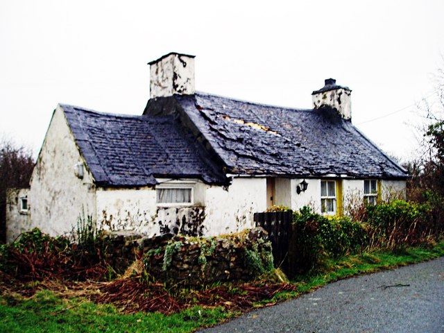
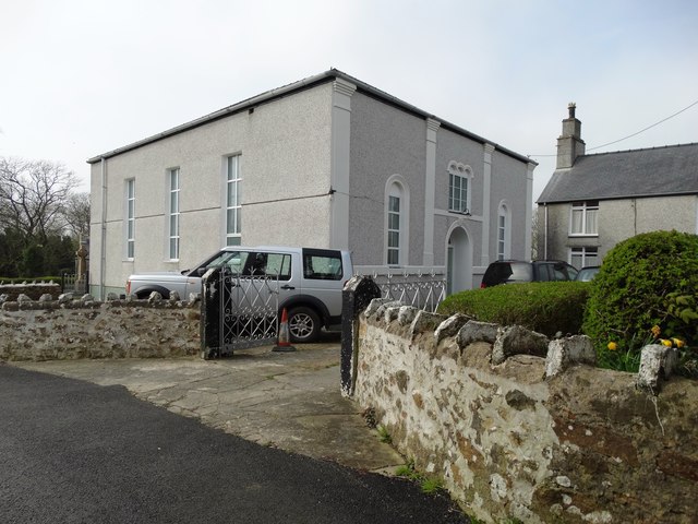
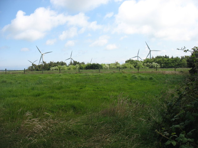
With a population of around 200 residents, Penygraigwen is a close-knit community known for its tranquillity and natural beauty. The village is primarily residential, consisting of a mix of traditional stone cottages and more modern houses. The local economy is largely based on agriculture, with many residents involved in farming and livestock rearing.

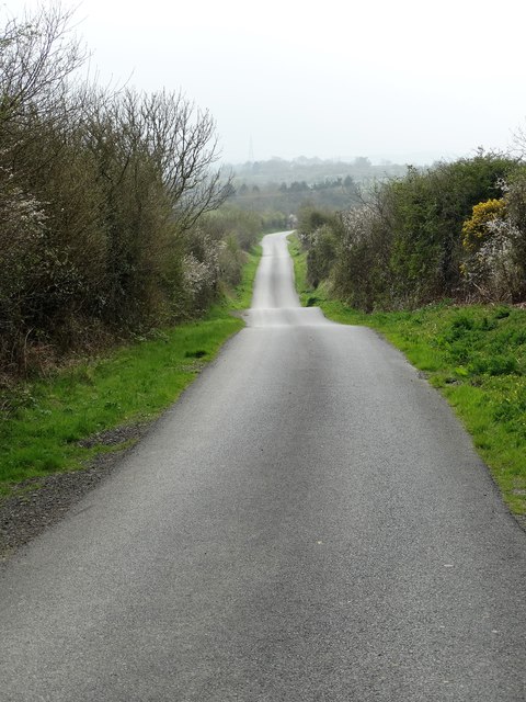
Although small in size, Penygraigwen offers several amenities to its residents. These include a community hall, where various events and gatherings take place, as well as a small primary school catering to the educational needs of the village's children. There are also a number of footpaths and walking trails in the surrounding countryside, allowing locals and visitors to explore the stunning natural landscapes that Anglesey has to offer.

Penygraigwen benefits from its proximity to Holyhead, a major port town that provides additional amenities and services. Holyhead offers a wider range of shops, supermarkets, schools, and healthcare facilities, as well as excellent transport links, including regular ferry services to Ireland and a direct rail connection to London.

Overall, Penygraigwen is a charming village that offers a peaceful and idyllic lifestyle in the heart of Anglesey's beautiful countryside.

If you have any feedback on the listing, please let us know in the comments section below.
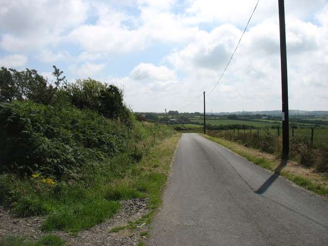
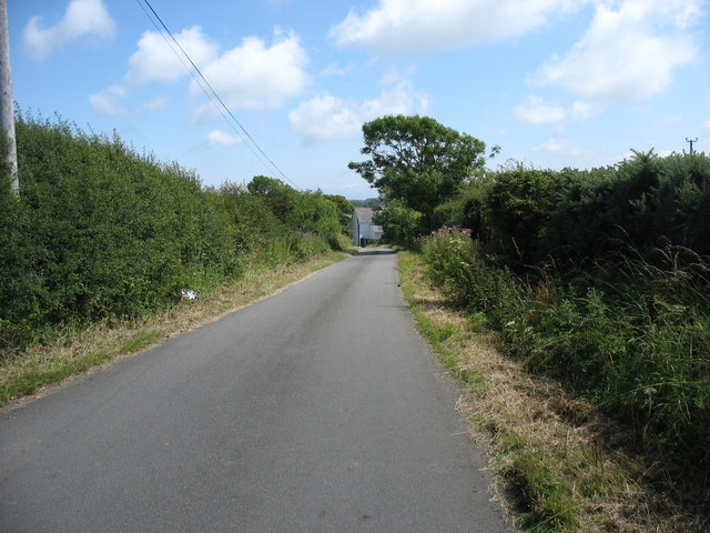
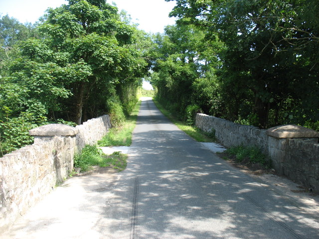
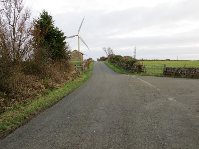
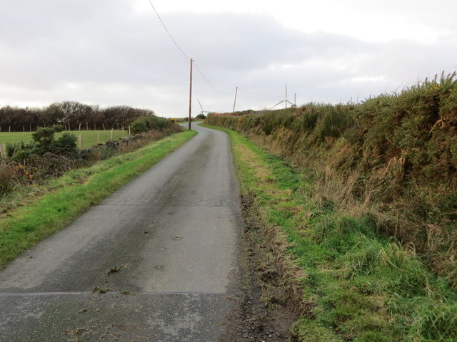
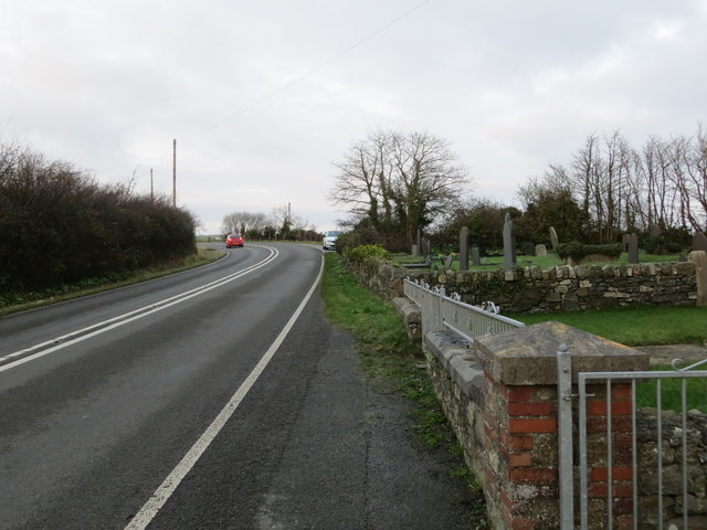
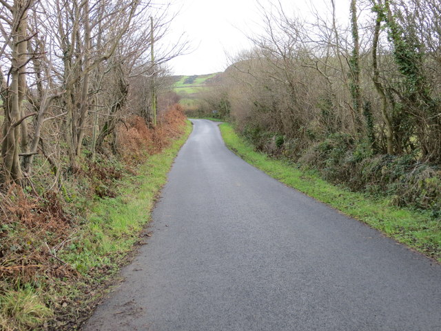
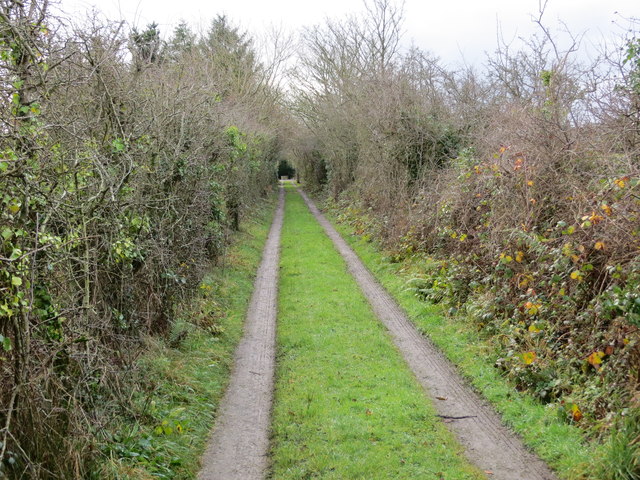
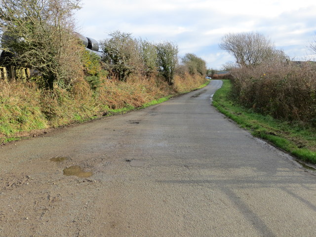
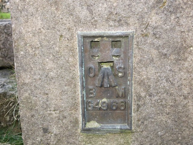
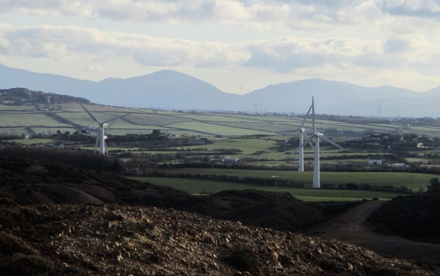
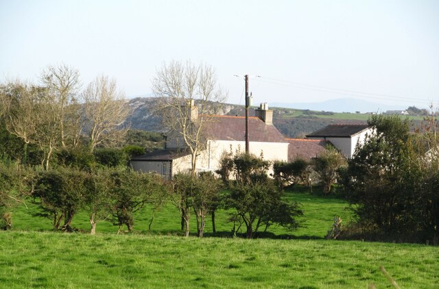
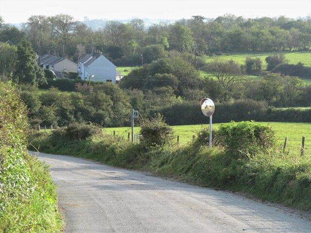
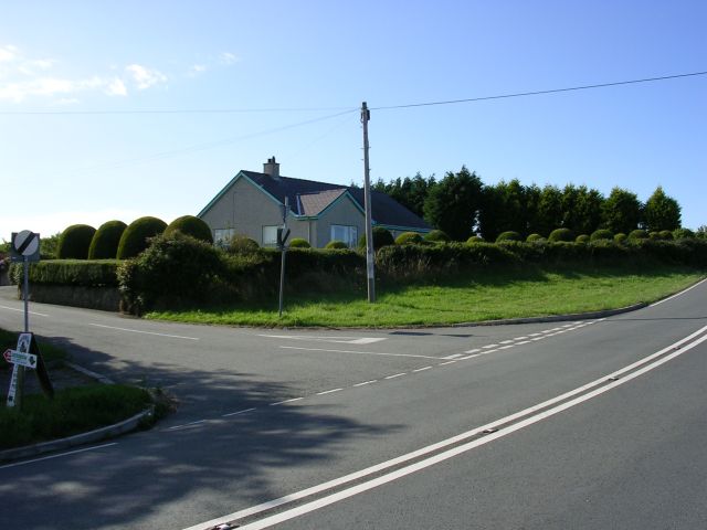
Penygraigwen Images

Images are sourced within 2km of 53.364624/-4.3287439 or Grid Reference SH4587. Thanks to Geograph Open Source API. All images are credited.

Nant Cottage
Nant Cottage
The road from City Dulas to Capel Parc
The old chapel, Capel Parc Now a private residence like so many small Welsh chapels of yesteryear.
The old chapel, Capel Parc
Now a private residence like so many small Welsh chapels of yesteryear.
Small wind farm south of Parys Mountain
The lane to Llaneuddog and Brynrefail
The lane to Llaneuddog and Brynrefail The bridge is the Pont y Deri, but I have found no name for the minor stream which flows (from left to right) below. As for the name City Dulas for the nearby hamlet of less than a dozen houses, I can offer no explanation at all.
The lane to Llaneuddog and Brynrefail
The bridge is the Pont y Deri, but I have found no name for the minor stream which flows (from left to right) below. As for the name City Dulas for the nearby hamlet of less than a dozen houses, I can offer no explanation at all.
Road approaching one of the Wind Turbines that form Llyn Alaw Wind Farm Looking south-eastward.
Road approaching one of the Wind Turbines that form Llyn Alaw Wind Farm
Looking south-eastward.
Road near Melin Trysglwyn Looking north-west. The wind turbines on the skyline form part of Llyn Alaw Wind Farm.
Road near Melin Trysglwyn
Looking north-west. The wind turbines on the skyline form part of Llyn Alaw Wind Farm.
Road (A5025) at Llaneuddog Looking north-eastward from Sardis Chapel.
Road (A5025) at Llaneuddog
Looking north-eastward from Sardis Chapel.
Road from Tyn Cae towards Capel Parc Looking north-eastward.
Road from Tyn Cae towards Capel Parc
Looking north-eastward.
Lane near to Tyn-y-Buarth Looking south-eastward.
Lane near to Tyn-y-Buarth
Looking south-eastward.
Enclosed track and footpath to Pandy Parc Looking south-westward.
Enclosed track and footpath to Pandy Parc
Looking south-westward.
Part of the lane from Capel Parc to the A5025 at City Dulas Looking south-eastward.
Part of the lane from Capel Parc to the A5025 at City Dulas
Looking south-eastward.
Ordnance Survey Flush Bracket G4966 This bracket can be found on the wall of Sardis Chapel at Llaneuddog. The benchmark height is recorded as being 42.926 metres above sea level. For more detail see : <span class="nowrap"><a title="http://www.bench-marks.org.uk/bm11581" rel="nofollow ugc noopener" href="http://www.bench-marks.org.uk/bm11581">Link</a><img style="margin-left:2px;" alt="External link" title="External link - shift click to open in new window" src="https://s1.geograph.org.uk/img/external.png" width="10" height="10"/></span>
Ordnance Survey Flush Bracket G4966
This bracket can be found on the wall of Sardis Chapel at Llaneuddog. The benchmark height is recorded as being 42.926 metres above sea level. For more detail see : LinkExternal link
Fferm Wynt Trysglwyn / Trysglwyn Wind Farm
Ynys-felan fawr Farmhouse in the Anglesey countryside with a rather odd name, which I think translates as 'large blue island'.
Ynys-felan fawr
Farmhouse in the Anglesey countryside with a rather odd name, which I think translates as 'large blue island'.
Path and mirror at the roadside At least there's the opportunity to check one's hairstyle in the mirror before heading off across the fields on the path, although the image might be a little odd due to the convex mirror.
Path and mirror at the roadside
At least there's the opportunity to check one's hairstyle in the mirror before heading off across the fields on the path, although the image might be a little odd due to the convex mirror.
Show me another place!

Penygraigwen is located at Grid Ref: SH4587 (Lat: 53.364624, Lng: -4.3287439)

Unitary Authority: Isle of Anglesey

Police Authority: North Wales

What 3 Words

///crispy.grunt.helpful. Near Llanerchymedd, Isle of Anglesey

Nearby Locations

Penygraigwen

Related Wikis

Penygraigwen

Penygraigwen is a village in the community of Rhosybol, Anglesey, Wales, which is 138.9 miles (223.6 km) from Cardiff and 218.5 miles (351.6 km) from London...

Capel Parc

Capel Parc is a hamlet in the community of Rhosybol, Anglesey, Wales, which is 138.6 miles (223 km) from Cardiff and 218.4 miles (351.5 km) from London...

Llaneuddog

Llaneuddog is a hamlet in the community of Llaneilian, Anglesey, Wales. It lies along the A5025 road, between Brynrefail and Penysarn, near Dulas. It belonged...

A5025 road

The A5025 is an 'A' road that runs from Llanfairpwllgwyngyll to Valley in Anglesey, Wales. A major road around the north coast of the isle, it runs up...

Nearby Amenities

Located within 500m of 53.364624,-4.3287439
Pengraigwen
Is In: Anglesey
Place: hamlet
Lat/Long: 53.3641935/-4.3325731
Power: pole
Lat/Long: 53.3631134/-4.3224672
Power: pole
Lat/Long: 53.36209/-4.3227124
Power: pole
Lat/Long: 53.3641515/-4.322251
Power: pole
Lat/Long: 53.3658791/-4.3218235
Power: pole
Lat/Long: 53.3649983/-4.3220023
The data included in this document is from www.openstreetmap.org. The data is made available under ODbL.

Have you been to Penygraigwen?

Leave your review of Penygraigwen below (or comments, questions and feedback).