Birchwood
Settlement in Hertfordshire Welwyn Hatfield
England
Birchwood
Birchwood is a residential area located in Hertfordshire, England. Situated in the borough of Broxbourne, it is a part of the town of Hatfield. Birchwood is predominantly a suburban neighborhood known for its peaceful atmosphere and family-friendly environment.
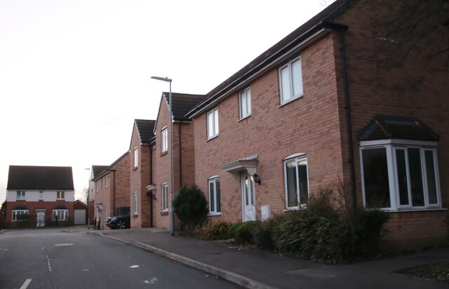
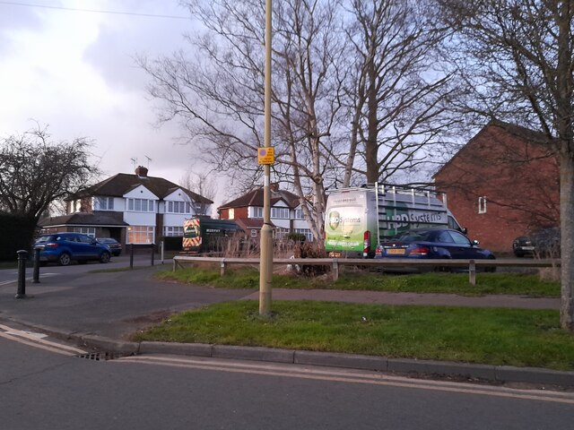
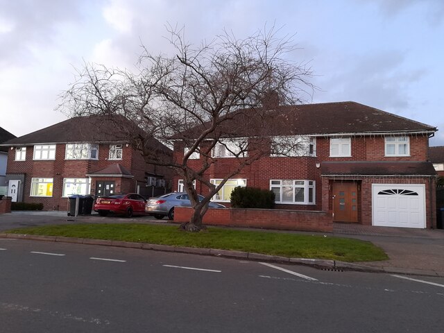
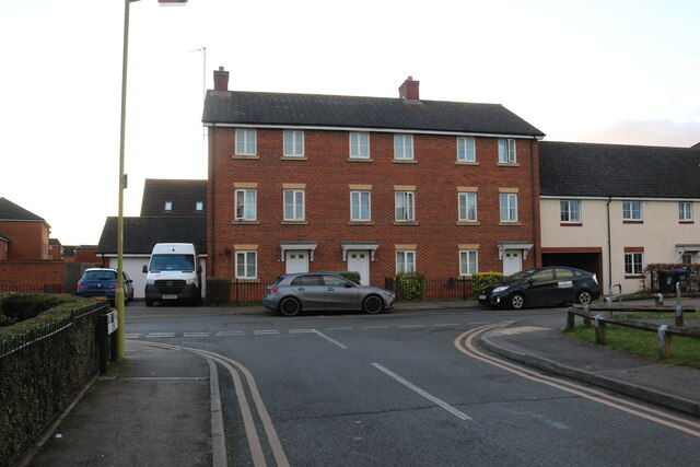
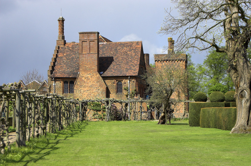
The area is characterized by its well-maintained residential properties, including a mix of detached and semi-detached houses, as well as bungalows and apartments. The architecture is varied, ranging from modern developments to more traditional styles. The streets are lined with trees, giving the neighborhood a pleasant and green ambiance.
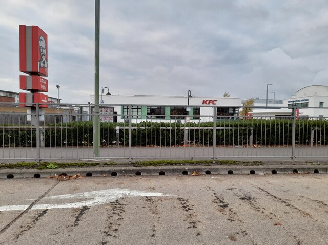
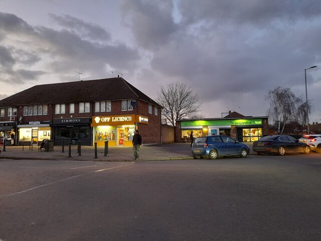
Birchwood offers its residents a range of amenities and facilities. There are several local shops, convenience stores, and supermarkets within easy reach, providing everyday necessities. Additionally, the area is home to a number of schools and educational institutions, making it an attractive location for families with children.
For those seeking recreational activities, Birchwood has several parks and green spaces nearby. Birchwood Playing Fields is a popular spot for sports enthusiasts, offering facilities for football, cricket, and other outdoor activities. There are also several playgrounds and open areas where residents can enjoy picnics or leisurely walks.
Transportation options in Birchwood are convenient, with good road links to nearby towns and cities such as Hatfield and St Albans. The A414 and A1(M) are easily accessible, providing easy connections to London and other major cities. The area is also served by regular bus services, ensuring easy access to public transport.
Overall, Birchwood offers a peaceful and family-friendly environment with a range of amenities, making it an attractive place to live in Hertfordshire.
If you have any feedback on the listing, please let us know in the comments section below.
Birchwood Images
Images are sourced within 2km of 51.767161/-0.221815 or Grid Reference TL2209. Thanks to Geograph Open Source API. All images are credited.


Birchwood is located at Grid Ref: TL2209 (Lat: 51.767161, Lng: -0.221815)
Administrative County: Hertfordshire
District: Welwyn Hatfield
Police Authority: Hertfordshire
What 3 Words
///slides.late.after. Near Hatfield, Hertfordshire
Nearby Locations
Related Wikis
Hatfield Rural District
Hatfield Rural District was a rural district in Hertfordshire, England, from 1894 to 1974, covering an area in the south of the county. == Evolution... ==
Hatfield, Hertfordshire
Hatfield is a town and civil parish in Hertfordshire, England, in the borough of Welwyn Hatfield. It had a population of 29,616 in 2001, 39,201 at the...

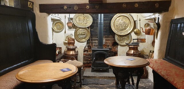
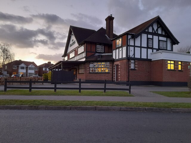
The Wrestlers, Hatfield
The Wrestlers is a public house on the Great North Road in Hatfield, Hertfordshire, England. The Grade II listed building has an eighteenth-century chequered...
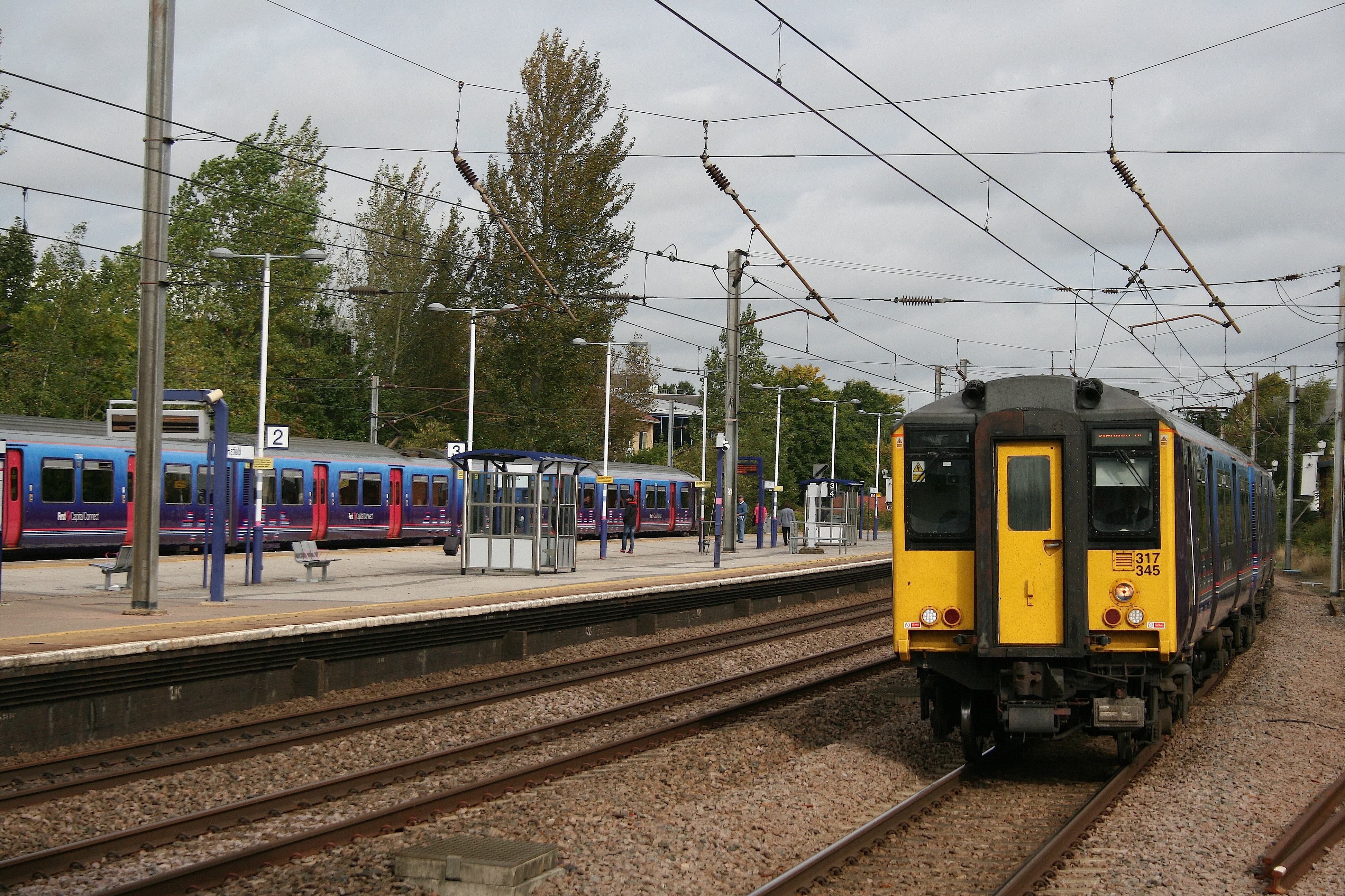
Hatfield railway station
Hatfield railway station serves the town of Hatfield in Hertfordshire, England. The station is managed by Great Northern. It is 17 miles 54 chains (28...
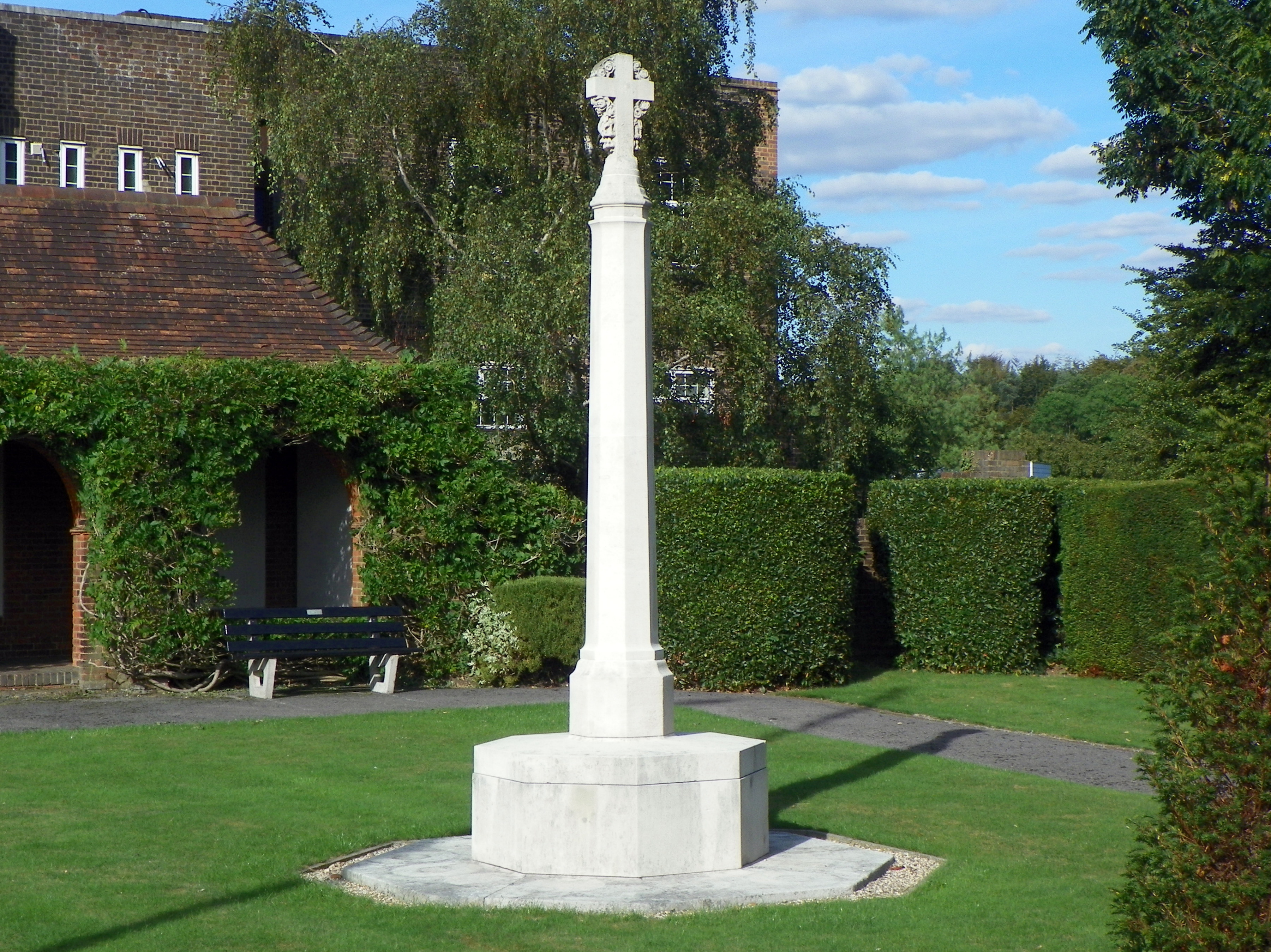
Hatfield War Memorial
The Hatfield War Memorial is a war memorial beside the Great North Road in Hatfield, Hertfordshire. It was one of 24 war memorials in England designed...

Lemsford Road Halt railway station
Lemsford Road Halt was a railway station on the St Albans Branch of the Great Northern Railway. The platforms are still visible next to the line of the...
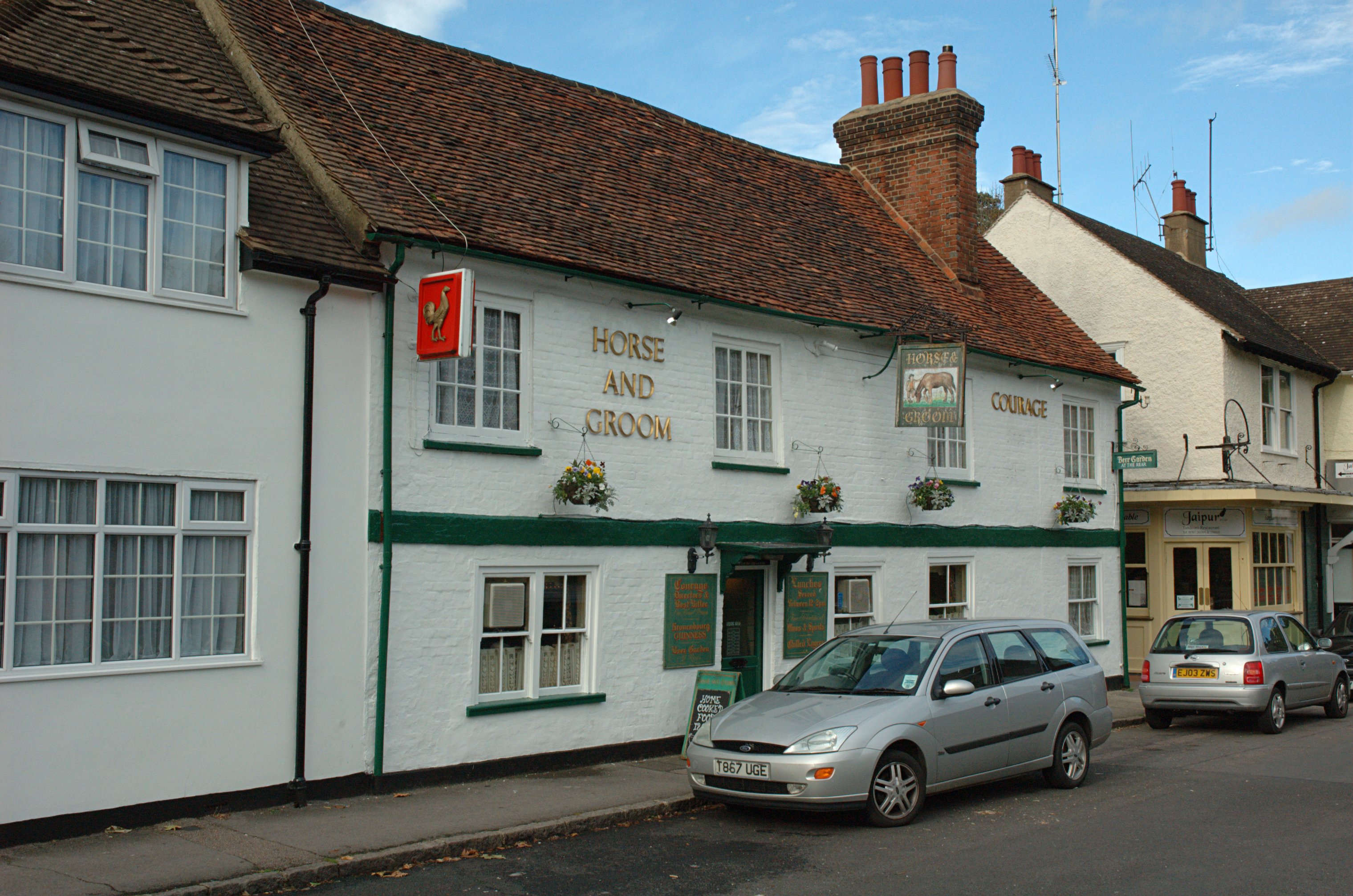
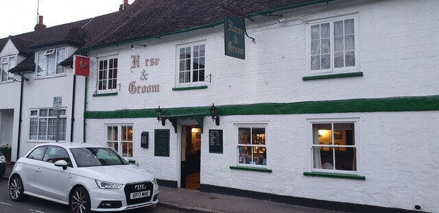
The Horse and Groom, Hatfield
The Horse and Groom is a grade II listed public house in Park Street, Hatfield, Hertfordshire, England. The building is based on a seventeenth-century...
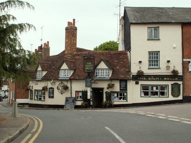
The Eight Bells, Hatfield
The Eight Bells is a grade II listed public house in Park Street, Hatfield, Hertfordshire, England. The building has a timber frame from around the sixteenth...
Nearby Amenities
Located within 500m of 51.767161,-0.221815Have you been to Birchwood?
Leave your review of Birchwood below (or comments, questions and feedback).