Birchwood
Settlement in Lancashire
England
Birchwood
Birchwood is a small village located in the county of Lancashire, England. Situated approximately 7 miles east of the city of Warrington, Birchwood is part of the borough of Warrington and falls within the civil parish of Birchwood and Padgate.
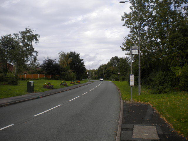
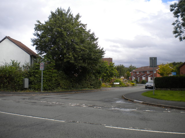
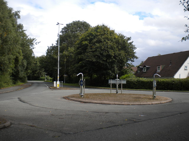
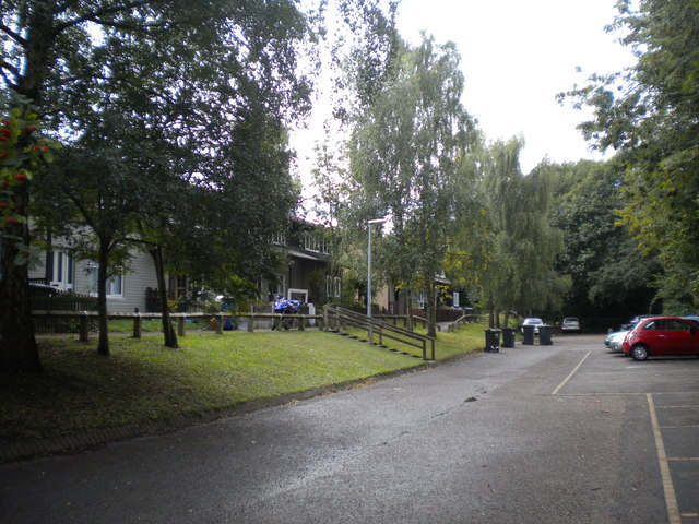
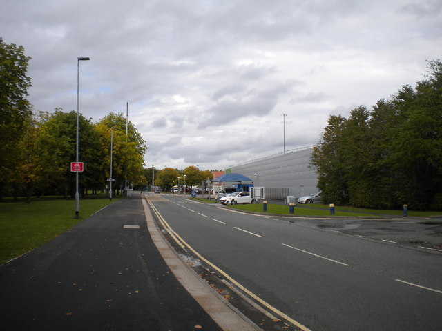
Originally developed in the 1960s as a purpose-built new town, Birchwood has grown into a thriving residential area. The village is characterized by a mix of modern housing estates, commercial areas, and green spaces. It is known for its well-planned layout, with a network of tree-lined streets and numerous cul-de-sacs, providing a peaceful and family-friendly environment.
The centerpiece of Birchwood is the Birchwood Shopping Centre, a bustling retail hub that offers a wide range of shops, restaurants, and amenities. The village also boasts several educational facilities, including primary and secondary schools, which cater to the needs of the local community.
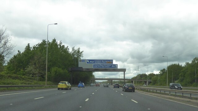
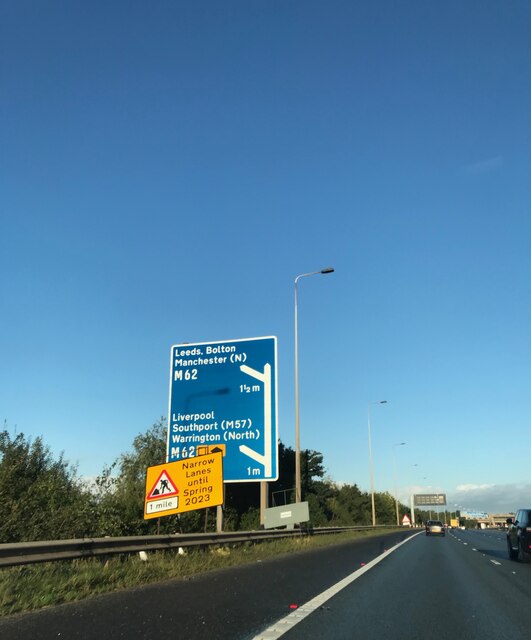
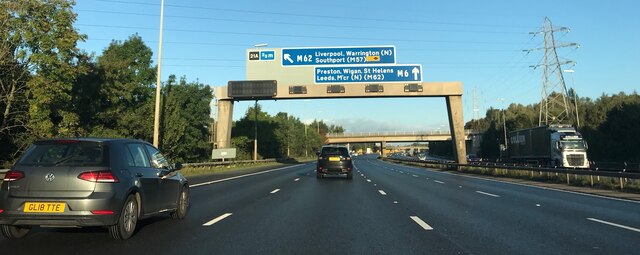
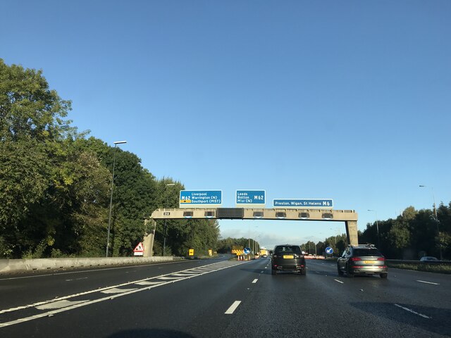
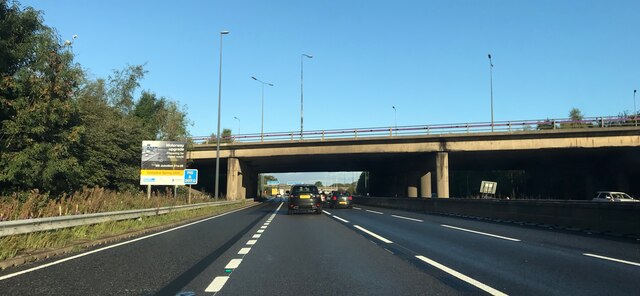
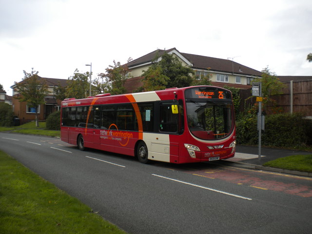
In terms of transportation, Birchwood benefits from excellent connectivity. The village is easily accessible via the M62 motorway, which connects it to major cities such as Manchester and Liverpool. Moreover, Birchwood railway station provides regular services to these cities, as well as to other nearby towns and villages.
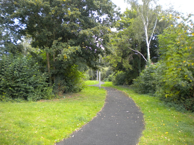
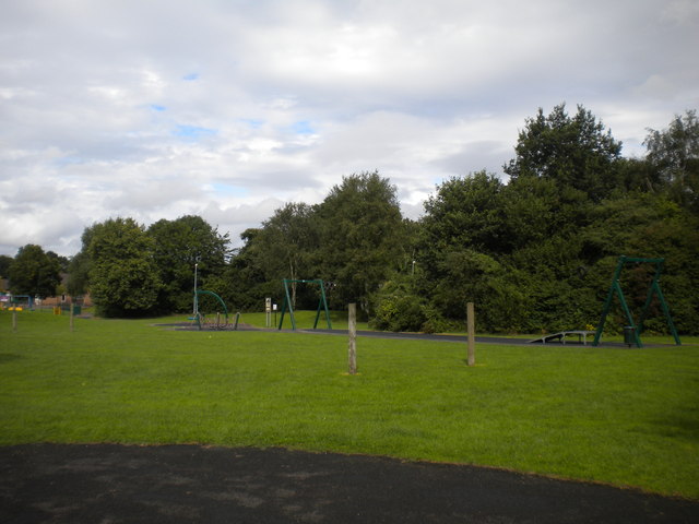
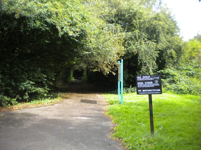
Birchwood is surrounded by green spaces, making it an attractive location for outdoor enthusiasts. Birchwood Forest Park, a large recreational area, offers walking trails, picnic spots, and a lake. Additionally, the nearby Risley Moss Nature Reserve provides an opportunity to explore diverse wildlife and habitats.
Overall, Birchwood offers residents a balanced lifestyle, combining modern conveniences with a touch of nature, making it a desirable place to live in Lancashire.
If you have any feedback on the listing, please let us know in the comments section below.
Birchwood Images
Images are sourced within 2km of 53.418235/-2.5294685 or Grid Reference SJ6491. Thanks to Geograph Open Source API. All images are credited.

Birchwood is located at Grid Ref: SJ6491 (Lat: 53.418235, Lng: -2.5294685)
Unitary Authority: Warrington
Police Authority: Cheshire
What 3 Words
///outbound.adhesive.skin. Near Croft, Cheshire
Nearby Locations
Related Wikis

Birchwood Community High School
Birchwood Community High School is a coeducational secondary school and sixth form with academy status, located in the Birchwood area of Warrington in...

Birchwood
Birchwood is a town and civil parish in the Borough of Warrington, Cheshire, England. It had a population of 11,395 at the 2001 census. Located originally...
Homes England
Homes England is the non-departmental public body that funds new affordable housing in England. It was founded on 1 January 2018 to replace the Homes and...

Birchwood railway station
Birchwood railway station is a railway station serving the town of Birchwood, Cheshire, England. The station is 24+1⁄4 miles (39.0 km) east of Liverpool...
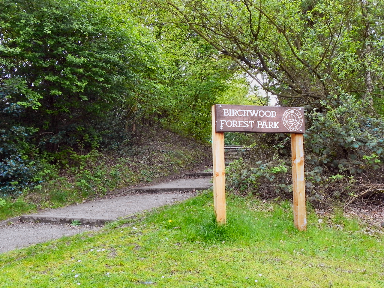
Birchwood Forest Park
Birchwood Forest Park covers the area formerly occupied by the Royal Ordnance Factory, ROF Risley, in Birchwood, Warrington, in north-west England. The...
Universities Research Reactor
Universities Research Reactor, also known as Universities' Research Reactor or University Research Reactor, was a small Argonaut class nuclear research...
Risley, Warrington
Risley is a district in the northeast corner of Warrington, in the Warrington district, in the ceremonial county of Cheshire, England. Within the boundaries...
Woolston Park
Woolston Park is a modern park that is situated in the civil parish of Woolston, Warrington, in the English county of Cheshire. Woolston Park covers 56...
Nearby Amenities
Located within 500m of 53.418235,-2.5294685Have you been to Birchwood?
Leave your review of Birchwood below (or comments, questions and feedback).