Birchills

Settlement in Staffordshire

England

Birchills

Waiting to depart – Walsall, West Midlands An interior view of the somewhat futuristically designed Walsall Bus Station. On the right a bus on the National Express West Midlands X51 service from Birmingham to Cannock. Ahead the future of ticket buying – no cash, you will have to use a card of some sort. Another nail in the coffin of customer service and the disappearance of those helpful customer facing staff. One day maybe a catastrophic meltdown of the system for some reason and what then their expensive machines? Having said that, here in the West Midlands there is a comprehensive public transport system by bus, train and tram. It does make travelling easy, as long as the ticketing system works.. Time photo taken 12.20 pm GMT (Greenwich Mean Time).

<a href="https://www.geograph.org.uk/photo/6744489">SP0198 : Buses from here - Walsall, West Midlands</a> <a href="https://www.geograph.org.uk/photo/6764092">SP0198 : From Bus Station steps - Walsall, West Midlands</a> <a href="https://www.geograph.org.uk/photo/6764158">SP0198 : The Bus Station - Walsall, West Midlands</a> <a href="https://www.geograph.org.uk/photo/7598639">SP0198 : Bus Station north-west side - Walsall, West Midlands</a>
Waiting to depart – Walsall, West Midlands Credit: Martin Richard Phelan

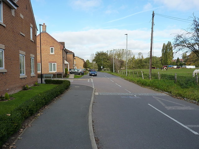
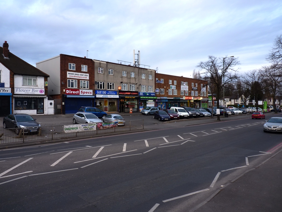
Birchills is a suburban area located in the county of Staffordshire, England. Situated approximately 2 miles north of the town center of Walsall, it forms part of the wider metropolitan borough of Walsall. Birchills is predominantly a residential area, characterized by a mix of housing types including terraced houses, semi-detached houses, and a few larger detached properties.

The area benefits from excellent transportation links, with the nearby A34 road providing easy access to Walsall town center and the wider West Midlands region. Birchills is also served by a number of bus routes, connecting residents to neighboring areas and towns.

While Birchills does not offer a wide range of amenities within its boundaries, there are several local shops, convenience stores, and small businesses catering to the daily needs of its residents. For more extensive shopping, a short trip to Walsall town center provides access to a variety of retail outlets, supermarkets, and a bustling market.

Birchills is home to a number of educational institutions, including primary and secondary schools, ensuring that families have access to quality education for their children within the local area.

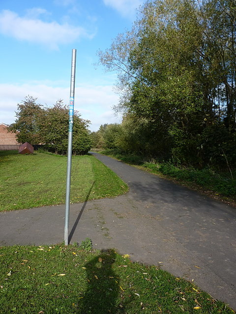
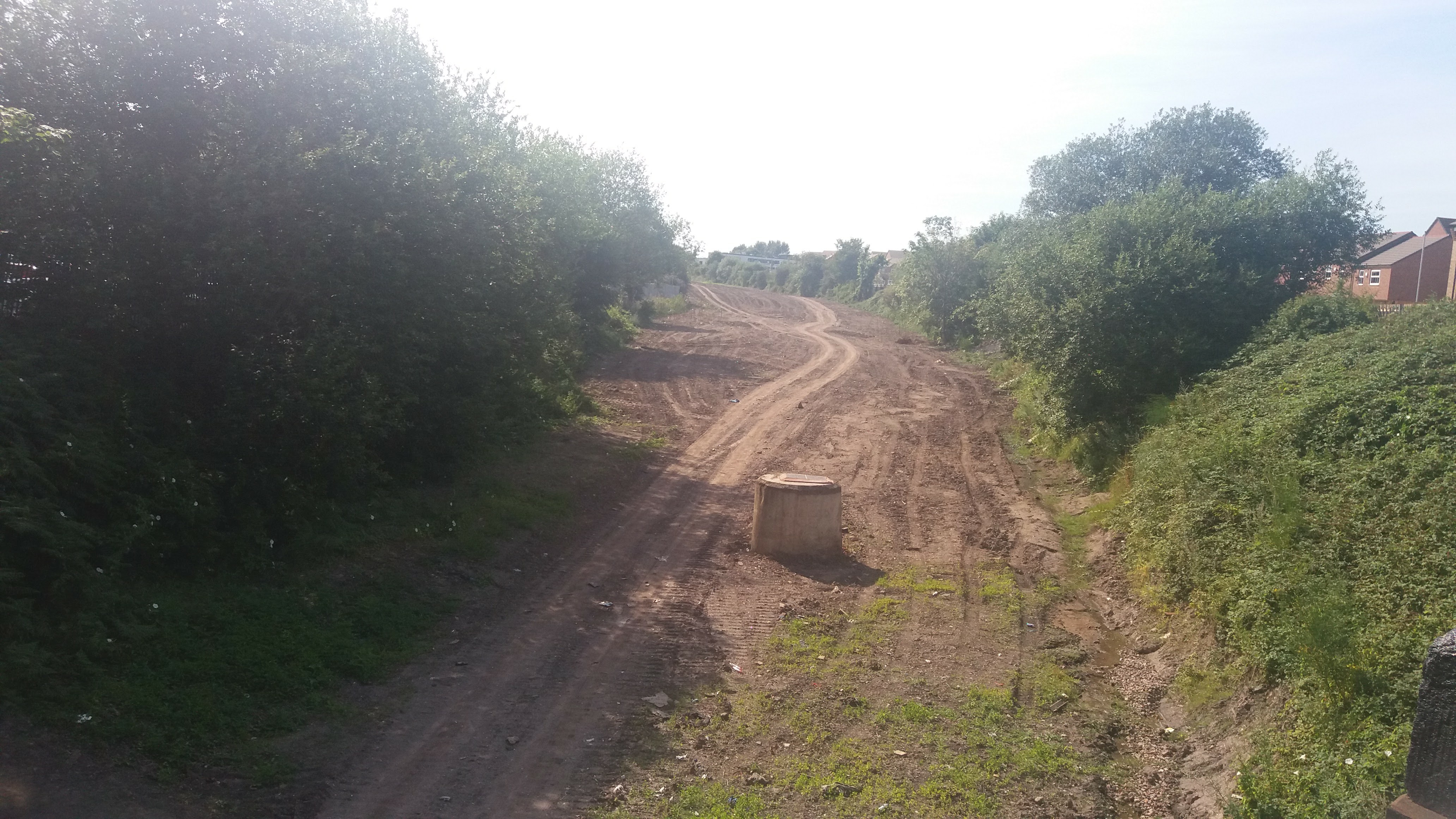
Nature enthusiasts can enjoy the nearby Birchills Local Nature Reserve, which offers a peaceful green space with wooded areas, walking paths, and a variety of wildlife.

Overall, Birchills provides a quiet and convenient suburban lifestyle, with its proximity to Walsall town center and good transport links making it an attractive area for families and commuters alike.

If you have any feedback on the listing, please let us know in the comments section below.
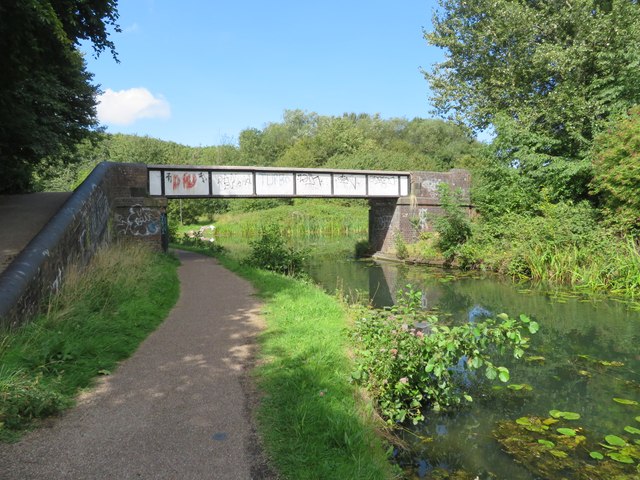
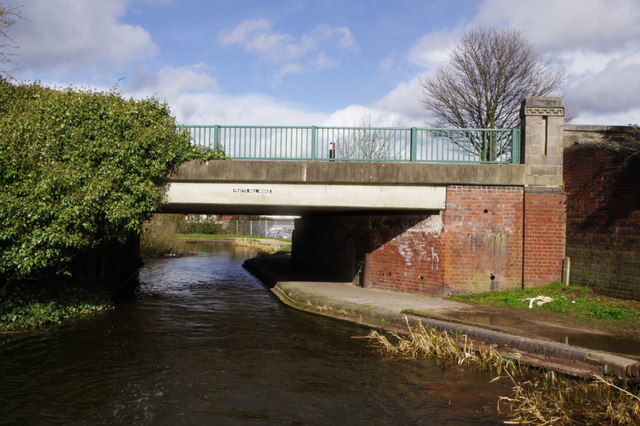
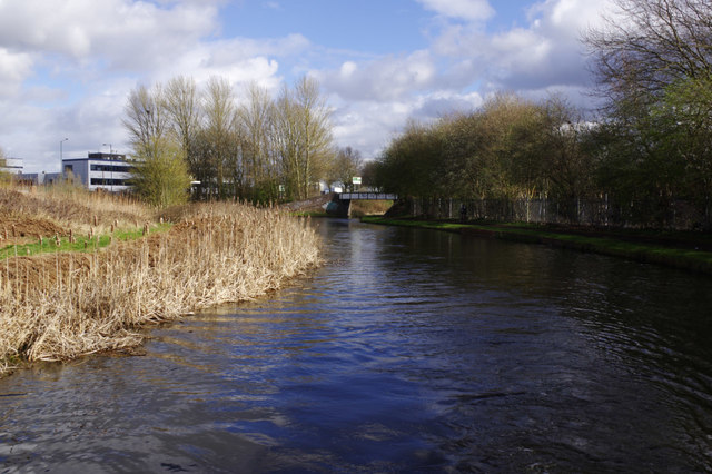
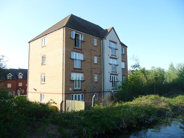
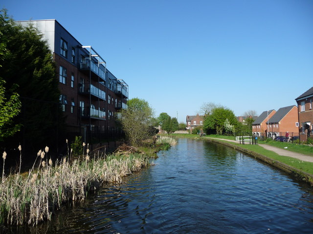
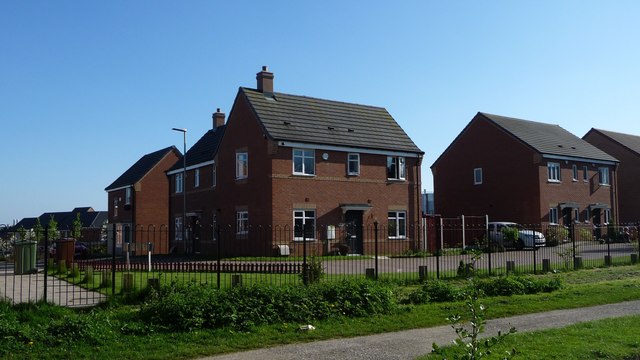
Birchills Images

Images are sourced within 2km of 52.591472/-1.992292 or Grid Reference SP0099. Thanks to Geograph Open Source API. All images are credited.
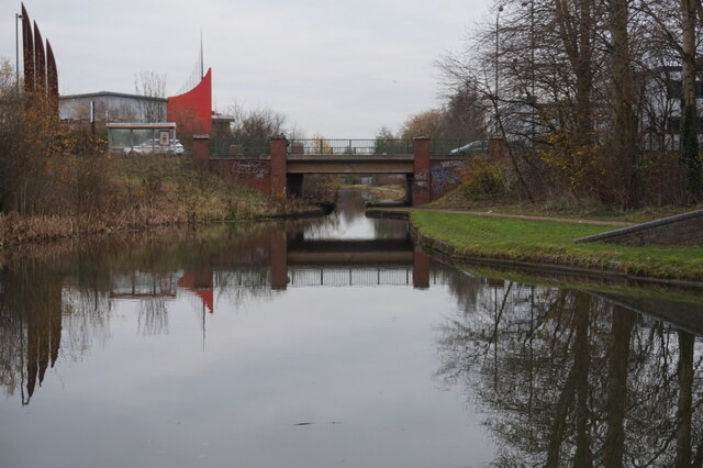
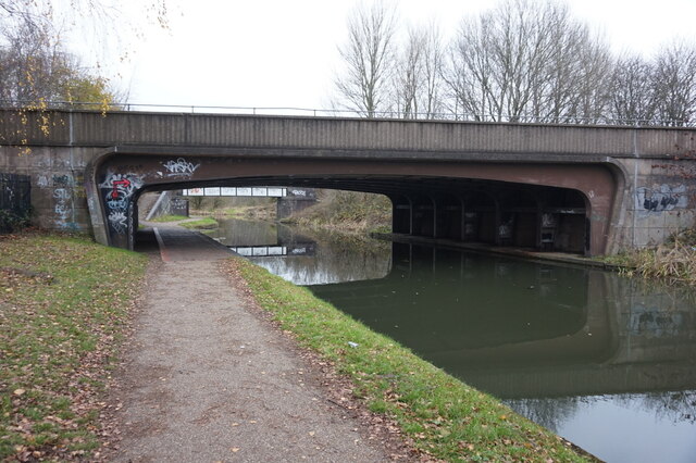
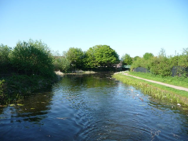
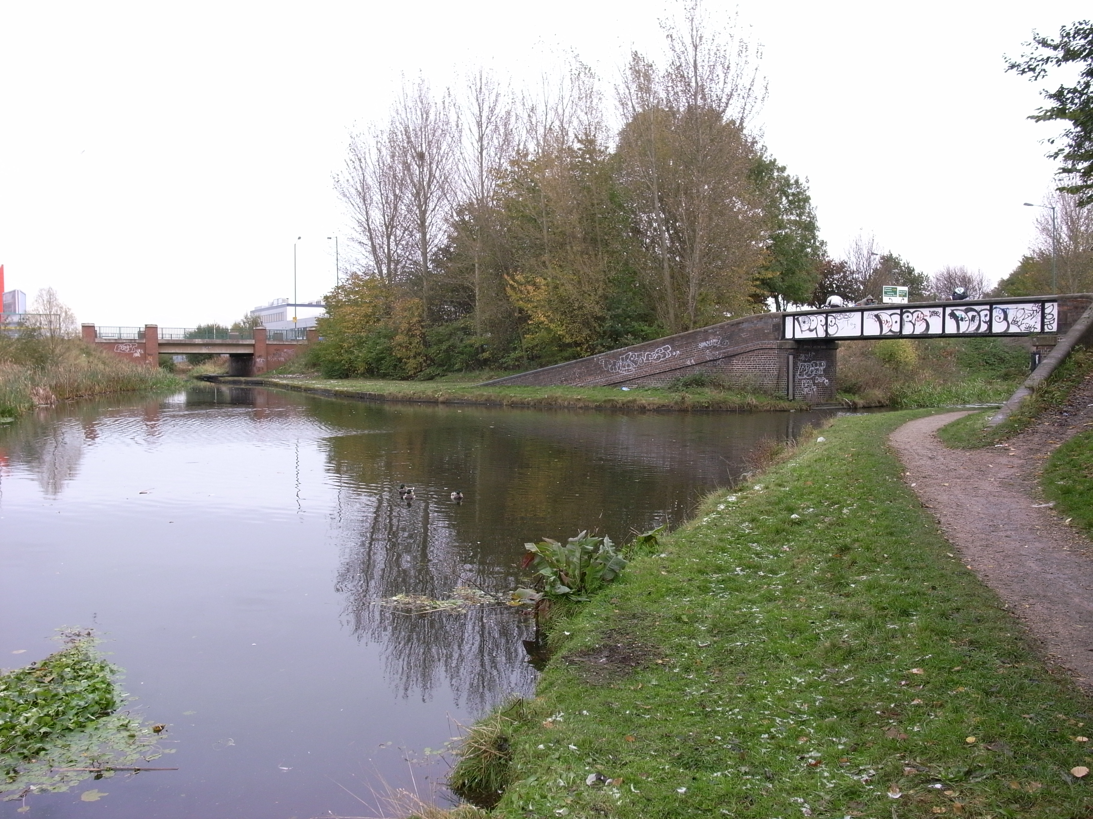
Waiting to depart – Walsall, West Midlands An interior view of the somewhat futuristically designed Walsall Bus Station. On the right a bus on the National Express West Midlands X51 service from Birmingham to Cannock. Ahead the future of ticket buying – no cash, you will have to use a card of some sort. Another nail in the coffin of customer service and the disappearance of those helpful customer facing staff. One day maybe a catastrophic meltdown of the system for some reason and what then their expensive machines? Having said that, here in the West Midlands there is a comprehensive public transport system by bus, train and tram. It does make travelling easy, as long as the ticketing system works.. Time photo taken 12.20 pm GMT (Greenwich Mean Time).

<a href="https://www.geograph.org.uk/photo/6744489">SP0198 : Buses from here - Walsall, West Midlands</a> <a href="https://www.geograph.org.uk/photo/6764092">SP0198 : From Bus Station steps - Walsall, West Midlands</a> <a href="https://www.geograph.org.uk/photo/6764158">SP0198 : The Bus Station - Walsall, West Midlands</a> <a href="https://www.geograph.org.uk/photo/7598639">SP0198 : Bus Station north-west side - Walsall, West Midlands</a>
Waiting to depart – Walsall, West Midlands
An interior view of the somewhat futuristically designed Walsall Bus Station. On the right a bus on the National Express West Midlands X51 service from Birmingham to Cannock. Ahead the future of ticket buying – no cash, you will have to use a card of some sort. Another nail in the coffin of customer service and the disappearance of those helpful customer facing staff. One day maybe a catastrophic meltdown of the system for some reason and what then their expensive machines? Having said that, here in the West Midlands there is a comprehensive public transport system by bus, train and tram. It does make travelling easy, as long as the ticketing system works.. Time photo taken 12.20 pm GMT (Greenwich Mean Time). SP0198 : Buses from here - Walsall, West Midlands SP0198 : From Bus Station steps - Walsall, West Midlands SP0198 : The Bus Station - Walsall, West Midlands SP0198 : Bus Station north-west side - Walsall, West Midlands
Wyrley & Essington Canal towards Stubbs Bridge
Wyrley & Essington Canal at Stubbs Bridge
Wyrley & Essington Canal at Birchills Junction
Walsall Canal at Birchills Junction Bridge
Walsall Canal at Stephenson Avenue Bridge
Walsall Junction Canal, Birchills Junction Bridge The Wyrley & Essington Canal runs on the far side of this bridge. The Walsall Junction Canal meets it at a Tee junction. The bridge is a footbridge for the towpath. The Walsall Junction Canal is part of the Birmingham Canal Navigations and is an extension of the Walsall canal from where it heads for the wharf in Walsall to Birchills Junction via a flight of 8 locks.
Walsall Junction Canal, Birchills Junction Bridge
The Wyrley & Essington Canal runs on the far side of this bridge. The Walsall Junction Canal meets it at a Tee junction. The bridge is a footbridge for the towpath. The Walsall Junction Canal is part of the Birmingham Canal Navigations and is an extension of the Walsall canal from where it heads for the wharf in Walsall to Birchills Junction via a flight of 8 locks.
Pratts Mill Bridge, Wyrley & Essington Canal Pratts Mill Bridge carries Bloxwich Road over the canal.
Pratts Mill Bridge, Wyrley & Essington Canal
Pratts Mill Bridge carries Bloxwich Road over the canal.
Birchills Junction At Birchills Junction the Walsall Canal leaves the Wyrley & Essington (through the bridge) for central Walsall and Ryder's Green Junction.
Birchills Junction
At Birchills Junction the Walsall Canal leaves the Wyrley & Essington (through the bridge) for central Walsall and Ryder's Green Junction.
Wyrley & Essington Canal at Birchills Old Stop Between Pratts Mill Bridge and Forest Bridge.
Wyrley & Essington Canal at Birchills Old Stop
Between Pratts Mill Bridge and Forest Bridge.
Canalside housing on Eagleworks Drive A four-storey block of flats on the west bank of the Wyrley & Essington Canal.
Canalside housing on Eagleworks Drive
A four-storey block of flats on the west bank of the Wyrley & Essington Canal.
New housing along the Wyrley & Essington Canal The flats are off Carl Street, the houses off Northumberland Way.
New housing along the Wyrley & Essington Canal
The flats are off Carl Street, the houses off Northumberland Way.
New houses off Shropshire Close With the Wyrley & Essington Canal towpath in the foreground.
New houses off Shropshire Close
With the Wyrley & Essington Canal towpath in the foreground.
Stubbs [or Stubbs'] Bridge, from the north Carrying a footpath over the Wyrley & Essington Canal, just north of Birchills Junction.
Stubbs [or Stubbs'] Bridge, from the north
Carrying a footpath over the Wyrley & Essington Canal, just north of Birchills Junction.
New houses on Cartbridge Lane South Built on the site of a demolished factory unit. Google Streetview imagery suggests the site had not long been cleared in Oct 2008, but it's proving hard to establish what was here before that - info welcome.
New houses on Cartbridge Lane South
Built on the site of a demolished factory unit. Google Streetview imagery suggests the site had not long been cleared in Oct 2008, but it's proving hard to establish what was here before that - info welcome.
National Cycle Network Route 5 at Rushall Part of NCN Route 5, which runs from Reading to Holyhead, here passing along a stretch of disused railway just north of Walsall.
National Cycle Network Route 5 at Rushall
Part of NCN Route 5, which runs from Reading to Holyhead, here passing along a stretch of disused railway just north of Walsall.
Show me another place!

Birchills is located at Grid Ref: SP0099 (Lat: 52.591472, Lng: -1.992292)

Unitary Authority: Walsall

Police Authority: West Midlands

What 3 Words

///list.legal.shift. Near Walsall, West Midlands

Nearby Locations

Birchills

Related Wikis

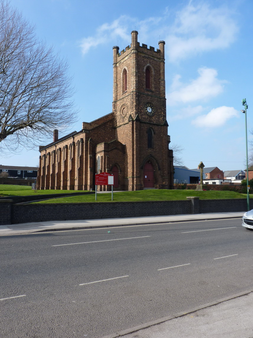
St Peter's Church, Walsall

St Peter's Church is a grade-II listed anglican church in Stafford Street in Walsall, West Midlands, England. The church is an active place of worship...

Birchills

Birchills is a residential area of Walsall in the West Midlands of England. The appropriate Walsall ward is Birchills Leamore. The population of this ward...

Birchills Power Station

Birchills power station and Walsall power station are a series of three coal-fired power stations in, or near, Walsall in the West Midlands, England....

Walsall Leather Museum

Walsall Leather Museum is located in Walsall, in the West Midlands in England, and was opened in 1988, in a Victorian factory building renovated by Walsall...

A4148 road

The A4148 is an A-class road in the town of Walsall, West Midlands, England. It serves as the town's ring road, as it encircles the town centre, and no...

North Walsall railway station

North Walsall railway station was a station built by the Wolverhampton and Walsall Railway in 1872, and was operated by the Midland Railway from 1876 onwards...

Walsall Canal

The Walsall Canal is a narrow (7 feet or 2.1 metres) canal, seven miles (11 km) long, forming part of the Birmingham Canal Navigations, and passing around...

Reedswood Park

Reedswood Park is a public park situated in Walsall, West Midlands, England. It is surrounded by the residential areas of Birchills and Beechdale, and...

Nearby Amenities

Located within 500m of 52.591472,-1.992292
Traffic Signals
Lat/Long: 52.5887502/-1.9875694
Traffic Signals
Crossing: traffic_signals
Lat/Long: 52.5884205/-1.9869826
Traffic Signals
Bicycle: yes
Button Operated: yes
Crossing: traffic_signals
Crossing Ref: toucan
Tactile Paving: yes
Lat/Long: 52.5873278/-1.9903399
Seamark Type: gate
Waterway: lock_gate
Lat/Long: 52.5877033/-1.9936369
Source: bing
Traffic Calming: hump
Lat/Long: 52.5892737/-1.9888721
Fast Food
Tony's
Created By: Potlatch 0.10e
Opening Hours: Mo-Sa 11:00-23:00; Su 15:00-20:30
Phone: +44 1922 616004
Lat/Long: 52.5911695/-1.9899575
Bus Stop
Stafford St / Long Acre St
NaPTANAreaCode: 43000606201
Bus: yes
Location: Stafford Street;Long Acre Street
Naptan AtcoCode: 43000606201
Naptan Bearing: N
Naptan BusStopType: MKD
Naptan CommonName: Long Acre St
Naptan Indicator: opp
Naptan Landmark: The Sportsman
Naptan NaptanCode: nwmgwdpa
Naptan PlusbusZoneRef: BHAMNWS
Naptan Status: ACT
Naptan StopType: BCT
Naptan Street: STAFFORD ST
Naptan Towards: Bloxwich (via Harden)
Naptan Verified: yes
Public Transport: platform
Route Ref: 19;26;29
Shelter: yes
Shelter Ref: 203322
Source: WMCA
Towards: Bloxwich (Via Bloxwich Road))
Lat/Long: 52.5915094/-1.9858403
Bus Stop
Stafford St / Long Acre St
NaPTANAreaCode: 43000606202
Bus: yes
Location: Stafford Street;Long Acre Street
Naptan AtcoCode: 43000606202
Naptan Bearing: N
Naptan BusStopType: MKD
Naptan CommonName: Long Acre St
Naptan Indicator: adj
Naptan Landmark: The Sportsman
Naptan NaptanCode: nwmgwdpd
Naptan PlusbusZoneRef: BHAMNWS
Naptan Status: ACT
Naptan StopType: BCT
Naptan Street: STAFFORD ST
Naptan Towards: Bloxwich (via Bloxwich Rd)
Naptan Verified: yes
Public Transport: platform
Route Ref: 1;2;2E;301;302
Shelter: yes
Shelter Ref: 203323
Source: WMCA
Towards: Bloxwich (Via Ryecroft)
Lat/Long: 52.5913496/-1.9857897
Bus Stop
Stafford St / Long Acre St
NaPTANAreaCode: 43000606203
Bus: yes
Location: Stafford Street;Long Acre Street
Naptan AtcoCode: 43000606203
Naptan Bearing: S
Naptan BusStopType: MKD
Naptan CommonName: Long Acre St
Naptan Indicator: opp
Naptan Landmark: The Sportsman
Naptan NaptanCode: nwmgwdpg
Naptan PlusbusZoneRef: BHAMNWS
Naptan Status: ACT
Naptan StopType: BCT
Naptan Street: STAFFORD ST
Naptan Towards: Walsall
Naptan Verified: yes
Public Transport: platform
Route Ref: 1;2;2E;19;26;29;301;302
Shelter: yes
Shelter Ref: 202358
Source: WMCA
Towards: Walsall
Lat/Long: 52.5910811/-1.985504
Bus Stop
Green Lane / Long Acre St
NaPTANAreaCode: 43000606301
Bus: yes
Location: Green lane;Long Acre street
Naptan AtcoCode: 43000606301
Naptan Bearing: NW
Naptan BusStopType: MKD
Naptan CommonName: Long Acre St
Naptan Indicator: opp
Naptan NaptanCode: nwmgwdpj
Naptan PlusbusZoneRef: BHAMNWS
Naptan Status: ACT
Naptan StopType: BCT
Naptan Street: GREEN LANE
Naptan Towards: Beechdale
Naptan Verified: yes
Public Transport: platform
Route Ref: 69;70;70A;X51
Shelter: yes
Shelter Ref: 203343
Source: WMCA
Towards: Beechdale;Bloxwich
Lat/Long: 52.5900805/-1.9887914
Bus Stop
Green Lane / Long Acre St
NaPTANAreaCode: 43000606302
Bench: yes
Bin: no
Bus: yes
Location: Green lane;Long Acre street
Naptan AtcoCode: 43000606302
Naptan Bearing: SE
Naptan BusStopType: MKD
Naptan CommonName: Long Acre St
Naptan Indicator: adj
Naptan NaptanCode: nwmgwdpm
Naptan PlusbusZoneRef: BHAMNWS
Naptan Status: ACT
Naptan StopType: BCT
Naptan Street: GREEN LANE
Naptan Towards: Walsall
Naptan Verified: yes
Public Transport: platform
Route Ref: 69;70;70A;X51
Shelter: yes
Shelter Ref: 203342
Source: WMCA
Towards: Walsall
Lat/Long: 52.5905661/-1.9890076
Bus Stop
Green Lane / Hospital St
NaPTANAreaCode: 43000609101
Bench: yes
Bin: no
Bus: yes
Mapillary: 804631007111845
Naptan AtcoCode: 43000609101
Naptan Bearing: SE
Naptan BusStopType: MKD
Naptan CommonName: Hospital St
Naptan Indicator: opp
Naptan NaptanCode: nwmgwdwa
Naptan PlusbusZoneRef: BHAMNWS
Naptan Status: ACT
Naptan StopType: BCT
Naptan Street: GREEN LANE
Naptan Towards: Walsall
Naptan Verified: no
Public Transport: platform
Route Ref: 69;70;70A;X51
Shelter: yes
Shelter Ref: 202343
Source: WMCA
Survey Date: 2020-02-02
Lat/Long: 52.5922683/-1.9905965
Bus Stop
Green Lane / Hospital St
NaPTANAreaCode: 43000609102
Bus: yes
Naptan AtcoCode: 43000609102
Naptan Bearing: NW
Naptan BusStopType: MKD
Naptan CommonName: Hospital St
Naptan Indicator: adj
Naptan NaptanCode: nwmgwdwd
Naptan PlusbusZoneRef: BHAMNWS
Naptan Status: ACT
Naptan StopType: BCT
Naptan Street: GREEN LANE
Naptan Towards: Beechdale
Naptan Verified: no
Public Transport: platform
Route Ref: 69;70;70A;X51
Shelter: yes
Shelter Ref: 202301
Source: WMCA
Lat/Long: 52.59264/-1.9912268
Bus Stop
Green Lane / Rayboulds Bridge Rd
NaPTANAreaCode: 43000609201
Bench: yes
Bin: no
Bus: yes
Mapillary: 2560850214211109
Naptan AtcoCode: 43000609201
Naptan Bearing: SE
Naptan BusStopType: MKD
Naptan CommonName: Rayboulds Bridge Rd
Naptan Indicator: opp
Naptan NaptanCode: nwmgwdwg
Naptan PlusbusZoneRef: BHAMNWS
Naptan Status: ACT
Naptan StopType: BCT
Naptan Street: GREEN LANE
Naptan Towards: Walsall
Naptan Verified: no
Public Transport: platform
Route Ref: 69;70;70A;X51
Shelter: yes
Shelter Ref: 202340
Source: WMCA
Survey Date: 2020-02-02
Lat/Long: 52.5955678/-1.9943457
Bus Stop
Hollyhedge Lane / Hollyhedge Close
Bus: yes
Naptan AtcoCode: 43000676004
Naptan Bearing: S
Naptan BusStopType: MKD
Naptan CommonName: Hollyhedge Close
Naptan Indicator: opp
Naptan NaptanCode: nwmjdjwa
Naptan PlusbusZoneRef: BHAMNWS
Naptan Status: ACT
Naptan StopType: BCT
Naptan Street: HOLLYHEDGE LANE
Naptan Towards: Walsall
Naptan Verified: no
Public Transport: platform
Route Ref: 41
Source: WMCA
Lat/Long: 52.5876746/-1.9948043
Bus Stop
Hollyhedge Lane / Birchills St
Bus: yes
Naptan AtcoCode: 43000676101
Naptan Bearing: S
Naptan BusStopType: MKD
Naptan CommonName: Birchills St
Naptan Indicator: adj
Naptan NaptanCode: nwmjdjwd
Naptan PlusbusZoneRef: BHAMNWS
Naptan Status: ACT
Naptan StopType: BCT
Naptan Street: HOLLYHEDGE LANE
Naptan Towards: Walsall
Naptan Verified: no
Public Transport: platform
Route Ref: 41
Source: WMCA
Lat/Long: 52.5887321/-1.9951225
Bus Stop
Hollyhedge Lane / Birchills St
Bus: yes
Naptan AtcoCode: 43000676102
Naptan Bearing: N
Naptan BusStopType: CUS
Naptan CommonName: Birchills St
Naptan Indicator: opp
Naptan NaptanCode: nwmjdjwg
Naptan PlusbusZoneRef: BHAMNWS
Naptan Status: ACT
Naptan StopType: BCT
Naptan Street: HOLLYHEDGE LANE
Naptan Towards: Willenhall
Naptan Verified: no
Public Transport: platform
Route Ref: 41
Source: WMCA
Lat/Long: 52.588547/-1.9952129
Bus Stop
Hollyhedge Lane / Bentley Lane
NaPTANAreaCode: 43000676201
Bus: yes
Naptan AtcoCode: 43000676201
Naptan Bearing: SE
Naptan BusStopType: MKD
Naptan CommonName: Bentley Lane
Naptan Indicator: opp
Naptan NaptanCode: nwmjdjwj
Naptan PlusbusZoneRef: BHAMNWS
Naptan Status: ACT
Naptan StopType: BCT
Naptan Street: HOLLYHEDGE LANE
Naptan Towards: Walsall
Naptan Verified: no
Public Transport: platform
Route Ref: 41
Shelter: yes
Shelter Ref: 203321
Source: WMCA
Lat/Long: 52.5903897/-1.9962506
Bus Stop
Hollyhedge Lane / Bentley Lane
NaPTANAreaCode: 43000676202
Bus: yes
Naptan AtcoCode: 43000676202
Naptan Bearing: NW
Naptan BusStopType: MKD
Naptan CommonName: Bentley Lane
Naptan Indicator: before
Naptan NaptanCode: nwmtwjdt
Naptan PlusbusZoneRef: BHAMNWS
Naptan Status: ACT
Naptan StopType: BCT
Naptan Street: HOLLYHEDGE LANE
Naptan Towards: Willenhall
Naptan Verified: no
Public Transport: platform
Route Ref: 41
Shelter: yes
Shelter Ref: 203382
Source: WMCA
Lat/Long: 52.5904143/-1.9964524
Crossing
Crossing: traffic_signals
Crossing Ref: pelican
Lat/Long: 52.5939209/-1.9861268
Traffic Signals
Lat/Long: 52.593067/-1.9915822
Addr City: Walsall
Addr Housenumber: 59
Addr Postcode: WS2 8JJ
Addr Street: Thornbury Road
Lat/Long: 52.5952982/-1.9912799
Traffic Signals
Crossing: traffic_signals
Lat/Long: 52.588473/-1.9878217
Post Box
Collection Times: Mo-Fr 09:00, Sa 07:00
Postal Code: WS2
Ref: WS2 55
Royal Cypher: EIIR
Royal Cypher Wikidata: Q33102113
Source: GPS Survey
Lat/Long: 52.5903196/-1.9854663
Crossing
Crossing: traffic_signals
Crossing Ref: pelican
Lat/Long: 52.5906723/-1.9891797
Crossing
Crossing: traffic_signals
Crossing Ref: pelican
Lat/Long: 52.589616/-1.9883971
Pub
Rock Steady Eddies Bar
Addr City: Walsall
Addr Postcode: WS2 8EA
Addr Street: Stafford Street
Fhrs Id: 480776
Source: GPS Survey
Lat/Long: 52.5912175/-1.9853648
Pub
The Crown Inn
Addr City: Walsall
Addr Postcode: WS2 8HP
Addr Street: Long Acre Street
Fhrs Id: 184616
Source: GPS Survey
Lat/Long: 52.5911574/-1.9862356
Church Hall
St Peters Community Hall
Lat/Long: 52.5922374/-1.9868229
Pub
The New Inn Better Known as The Pretty Bricks
Addr City: Walsall
Addr Housenumber: 5
Addr Postcode: WS2 8AF
Addr Street: John Street
Fhrs Id: 898031
Source: GPS Survey
Lat/Long: 52.5913103/-1.9850224
Seamark Type: gate
Waterway: lock_gate
Lat/Long: 52.5885138/-1.9939028
Seamark Type: gate
Waterway: lock_gate
Lat/Long: 52.5913008/-1.9937405
Seamark Type: gate
Waterway: lock_gate
Lat/Long: 52.590398/-1.9938738
Heritage: 2
Heritage Operator: Historic England
Listed Status: Grade II
Seamark Type: gate
Waterway: lock_gate
Lat/Long: 52.5926527/-1.9935346
Seamark Type: gate
Waterway: lock_gate
Lat/Long: 52.5894938/-1.9940143
Seamark Type: gate
Waterway: lock_gate
Lat/Long: 52.5892696/-1.9940458
Seamark Type: gate
Waterway: lock_gate
Lat/Long: 52.5901772/-1.9939071
Seamark Type: gate
Waterway: lock_gate
Lat/Long: 52.5882851/-1.9938245
Seamark Type: gate
Waterway: lock_gate
Lat/Long: 52.5910838/-1.9937722
Seamark Type: gate
Waterway: lock_gate
Lat/Long: 52.5874794/-1.9935501
Heritage: 2
Heritage Operator: Historic England
Listed Status: Grade II
Seamark Type: gate
Waterway: lock_gate
Lat/Long: 52.5924252/-1.9935615
Source: bing
Traffic Calming: bump
Lat/Long: 52.5889111/-1.9889993
Direction: both
Source: bing
Surface: brick
Traffic Calming: table
Lat/Long: 52.5895172/-1.9895516
One Below
Fhrs Id: 1261809
Shop: variety_store
Lat/Long: 52.5873297/-1.9894268
Shop: vacant
Lat/Long: 52.5875889/-1.9886733
Next
Brand: Next
Brand Wikidata: Q246655
Brand Wikipedia: en:Next plc
Shop: clothes
Lat/Long: 52.5876905/-1.9883781
Smyths
Brand: Smyths
Brand Wikidata: Q7546779
Brand Wikipedia: en:Smyths
Shop: toys
Lat/Long: 52.5874017/-1.9892451
TK Maxx
Brand: TK Maxx
Brand Wikidata: Q23823668
Brand Wikipedia: en:TK Maxx
Shop: department_store
Lat/Long: 52.5877759/-1.9881299
Traffic Signals
Crossing: traffic_signals
Lat/Long: 52.5882826/-1.9873315
Traffic Signals
Crossing: traffic_signals
Lat/Long: 52.5885718/-1.9878557
Give Way
Source: bing
Lat/Long: 52.5924021/-1.9907576
Direction: both
Traffic Calming: cushion
Lat/Long: 52.5875958/-1.9906363
Access: private
Bicycle: no
Door: garage
Entrance: garage
Foot: no
Horse: no
Maxheight: 3.9
Lat/Long: 52.5880244/-1.9898482
Traffic Signals
Bicycle: yes
Button Operated: yes
Crossing: traffic_signals
Crossing Ref: toucan
Lat/Long: 52.5873438/-1.9905102
Barrier: bollard
Lat/Long: 52.5894954/-1.9904259
Addr City: Walsall
Addr Street: Eminence Supercar Hire
Lat/Long: 52.5902432/-1.9862519
Birchills
Place: suburb
Source: OS_OpenData_StreetView
Wikidata: Q4915738
Wikipedia: en:Birchills
Lat/Long: 52.5897338/-1.9926018
Entrance: yes
Lat/Long: 52.587927/-1.9905171
Waste Basket
Lat/Long: 52.5877888/-1.991027
Access: private
Barrier: swing_gate
Lat/Long: 52.5878743/-1.990134
Camera Direction: 195
Camera Mount: wall
Camera Type: fixed
Man Made: surveillance
Surveillance: outdoor
Surveillance Type: camera
Lat/Long: 52.5878168/-1.9901529
Camera Direction: 350
Camera Mount: wall
Camera Type: fixed
Man Made: surveillance
Surveillance: outdoor
Surveillance Type: camera
Lat/Long: 52.5878273/-1.99015
Man Made: surveillance
Surveillance Type: camera
Lat/Long: 52.5879062/-1.9900753
Access: private
Bicycle: no
Door: garage
Entrance: garage
Foot: no
Horse: no
Maxheight: 3.9
Lat/Long: 52.5879701/-1.9899525
Access: private
Bicycle: no
Door: garage
Entrance: garage
Foot: no
Horse: no
Maxheight: 3.9
Lat/Long: 52.5879991/-1.9898967
Access: private
Bicycle: no
Door: garage
Entrance: garage
Foot: no
Horse: no
Maxheight: 3.9
Lat/Long: 52.5880483/-1.9898022
Access: private
Bicycle: no
Door: garage
Entrance: garage
Foot: no
Horse: no
Maxheight: 3.9
Lat/Long: 52.588073/-1.9897548
Access: private
Barrier: swing_gate
Lat/Long: 52.5882607/-1.9893023
Access: customers
Door: yes
Entrance: main
Wheelchair: yes
Lat/Long: 52.5881444/-1.9896176
Country: GB
Flag Name: Union Jack
Flag Type: national
Flag Wikidata: Q83278
Height: 7
Lit: no
Man Made: flagpole
Subject: United Kingdom
Subject Wikidata: Q145
Lat/Long: 52.5880172/-1.9895366
Street Lamp
Lat/Long: 52.5879868/-1.9895233
Man Made: surveillance
Surveillance Type: camera
Lat/Long: 52.5880837/-1.9897342
Recycling
Recycling Clothes: yes
Recycling Shoes: yes
Recycling Type: container
Lat/Long: 52.5883078/-1.9888635
Barrier: swing_gate
Bicycle: no
Foot: no
Horse: no
Motor Vehicle: private
Lat/Long: 52.5882822/-1.9892351
Access: no
Barrier: swing_gate
Foot: private
Lat/Long: 52.5883273/-1.9891441
Access: no
Barrier: swing_gate
Foot: private
Lat/Long: 52.5883937/-1.9890191
Entrance: main
Lat/Long: 52.5883431/-1.9890565
Bench
Lat/Long: 52.5883373/-1.989098
Camera Direction: 330
Camera Mount: wall
Camera Type: fixed
Man Made: surveillance
Surveillance: outdoor
Surveillance Type: camera
Lat/Long: 52.589164/-1.9898958
Direction: both
Surface: brick
Traffic Calming: table
Lat/Long: 52.5894255/-1.9899898
Give Way
Direction: backward
Lat/Long: 52.5893013/-1.9892526
Entrance: yes
Lat/Long: 52.588893/-1.9881758
Give Way
Direction: forward
Lat/Long: 52.5887165/-1.9877543
Give Way
Direction: forward
Lat/Long: 52.5885702/-1.9870409
Traffic Signals
Crossing: traffic_signals
Lat/Long: 52.588639/-1.9873362
Give Way
Direction: forward
Lat/Long: 52.5891385/-1.9878275
Crossing
Button Operated: yes
Lat/Long: 52.5883084/-1.9873595
Crossing
Button Operated: yes
Crossing: traffic_signals
Lat/Long: 52.5883147/-1.9871904
Crossing
Button Operated: yes
Tactile Paving: yes
Lat/Long: 52.588423/-1.9870401
Crossing
Button Operated: yes
Crossing: traffic_signals
Tactile Paving: yes
Lat/Long: 52.5883744/-1.9878795
Crossing
Button Operated: yes
Tactile Paving: yes
Lat/Long: 52.5884809/-1.9877737
Crossing
Button Operated: yes
Tactile Paving: yes
Traffic Island: yes
Lat/Long: 52.5885999/-1.9878297
Crossing
Button Operated: yes
Crossing: traffic_signals
Tactile Paving: yes
Traffic Island: yes
Lat/Long: 52.5886077/-1.9876397
Crossing
Button Operated: yes
Crossing: traffic_signals
Tactile Paving: yes
Traffic Island: yes
Lat/Long: 52.5886077/-1.987462
Crossing
Button Operated: yes
Tactile Paving: yes
Traffic Island: yes
Lat/Long: 52.5886161/-1.9872458
Crossing
Button Operated: yes
Crossing: traffic_signals
Tactile Paving: yes
Lat/Long: 52.5885291/-1.9871887
ALDI
Addr Housename: Crown Wharf Retail Park
Addr Postcode: WS2 8LL
Brand: ALDI
Brand Wikidata: Q41171672
Opening Hours: Mo-Sa 08:00-22:00; Su 10:00-16:00
Shop: supermarket
Website: https://stores.aldi.co.uk/west-midlands/walsall/crown-wharf-retail-park
Lat/Long: 52.5875002/-1.9889557
Access: customers
Door: hinged
Entrance: yes
Lat/Long: 52.5908784/-1.9853496
Access: customers
Door: hinged
Entrance: yes
Lat/Long: 52.5908889/-1.9851639
Barrier: bollard
Lat/Long: 52.5886206/-1.9882043
Barrier: bollard
Lat/Long: 52.5886299/-1.9881849
Barrier: bollard
Lat/Long: 52.5886377/-1.9881678
Crossing
Crossing: traffic_signals
Crossing Ref: pelican
Tactile Paving: yes
Lat/Long: 52.5902845/-1.9854119
Traffic Signals
Traffic Signals: signal
Traffic Signals Direction: forward
Lat/Long: 52.5902551/-1.9854054
Crossing
Button Operated: yes
Crossing: traffic_signals
Crossing Island: yes
Tactile Paving: yes
Traffic Signals Sound: yes
Lat/Long: 52.5902904/-1.9853682
Crossing
Button Operated: yes
Crossing: traffic_signals
Crossing Island: yes
Tactile Paving: yes
Traffic Signals Sound: yes
Lat/Long: 52.5902962/-1.985315
Barrier: bollard
Bollard: fixed
Colour: black
Height: 1
Material: plastic
Lat/Long: 52.5928359/-1.9985004
Bicycle Parking
Bicycle Parking: stands
Capacity: 24
Covered: no
Lat/Long: 52.5871853/-1.9901565
Barrier: bollard
Bollard: fixed
Colour: black
Height: 1
Material: plastic
Lat/Long: 52.5931607/-1.9982884
Barrier: bollard
Bollard: fixed
Colour: black
Height: 1
Material: plastic
Lat/Long: 52.592963/-1.9984495
Give Way
Direction: forward
Lat/Long: 52.5875394/-1.9902632
Place Of Worship
Religion: muslim
Lat/Long: 52.5877324/-1.9914844
The data included in this document is from www.openstreetmap.org. The data is made available under ODbL.

Have you been to Birchills?

Leave your review of Birchills below (or comments, questions and feedback).