Penkridge

Settlement in Staffordshire South Staffordshire

England

Penkridge

Filance Lock near Penkridge in Staffordshire Filance Lock is No 37 on the Staffordshire and Worcestershire Canal near Penkridge, by Templars Way. It proviseds a fall (or rise) of 10ft 3in (about 3·1 metres).
Filance Lock near Penkridge in Staffordshire Credit: Roger D Kidd

Penkridge is a charming market town located in the county of Staffordshire, England. Situated on the banks of the River Penk, it is approximately 7 miles south of Stafford and 7 miles north of Cannock. The town is well-connected and easily accessible, with the M6 motorway passing nearby.

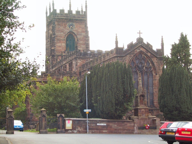
With a rich history dating back to the Anglo-Saxon era, Penkridge boasts numerous historical landmarks and buildings. The Grade I listed Penkridge Church, also known as St. Michael and All Angels, is a prominent feature of the town's skyline. Another notable attraction is the medieval Penkridge Market, which has been in operation for over 800 years and continues to thrive today.

Penkridge offers a range of amenities and services to its residents and visitors. The town center is home to a variety of independent shops, cafes, and restaurants, providing a vibrant and bustling atmosphere. There are also several supermarkets and convenience stores for everyday needs. The town's leisure facilities include a leisure center, parks, and sports clubs, catering to a range of interests and hobbies.

Education is well-catered for in Penkridge, with several primary and secondary schools serving the local community. The town also benefits from excellent transport links, including a railway station on the West Coast Main Line, providing easy access to cities like Birmingham and London.

With its picturesque location, historical attractions, and convenient amenities, Penkridge offers a delightful blend of heritage and modern living, making it an attractive place to reside or visit.

If you have any feedback on the listing, please let us know in the comments section below.
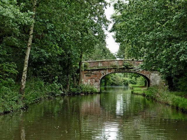
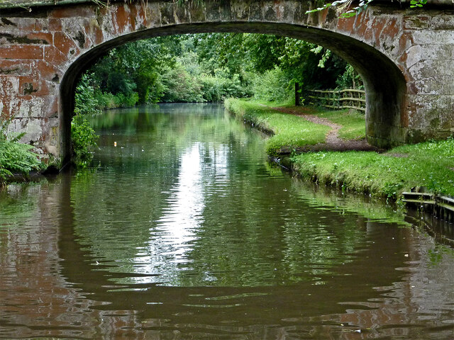
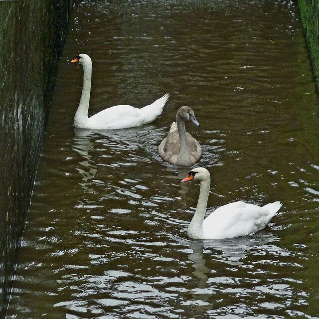
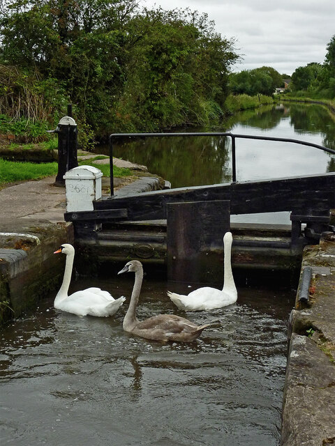
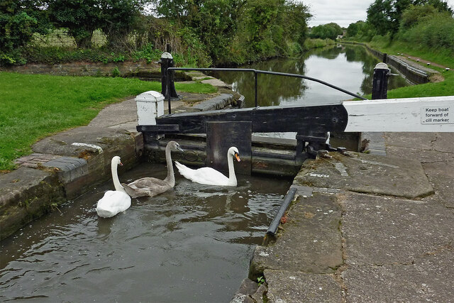
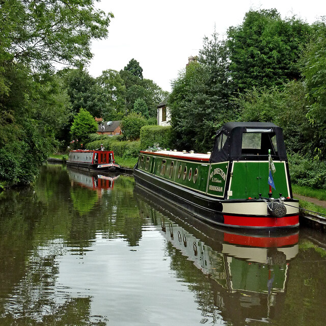
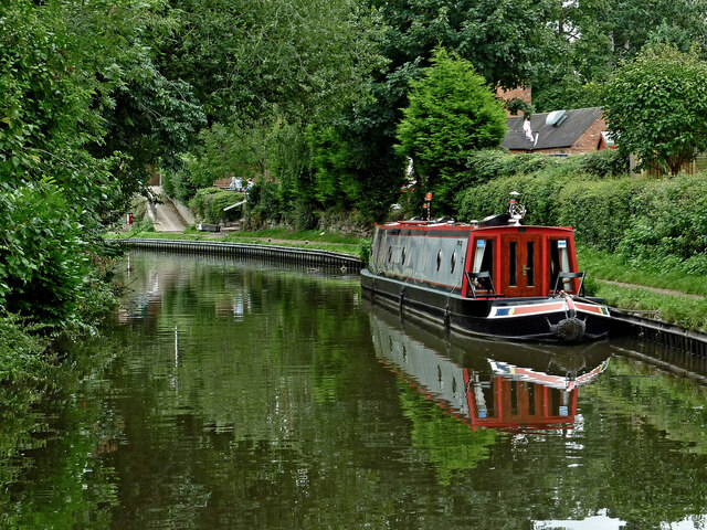
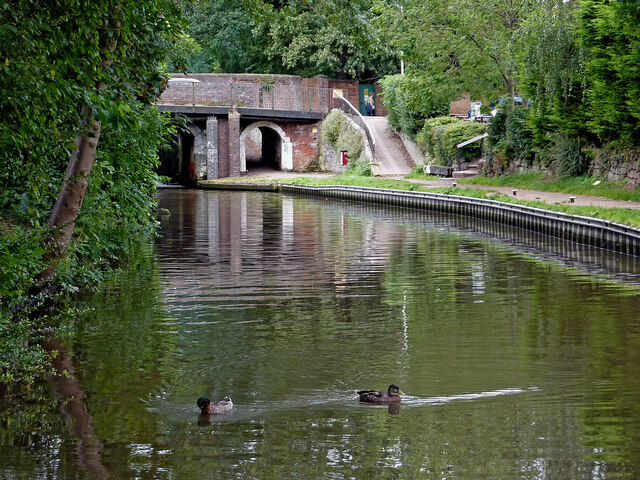
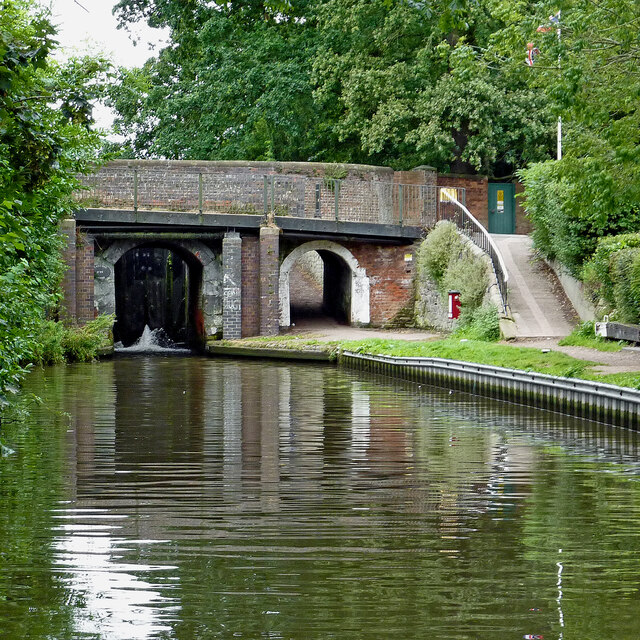
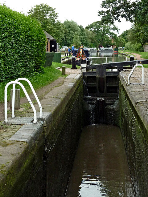
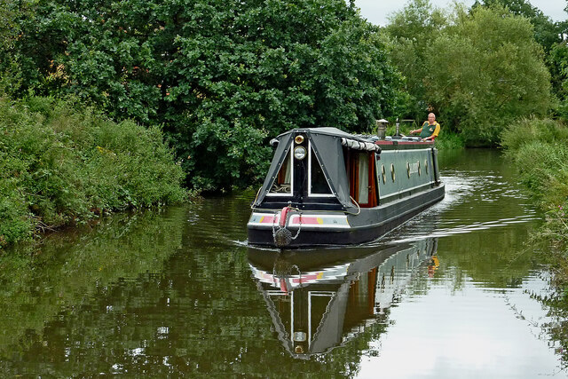
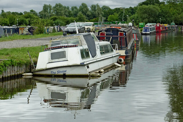
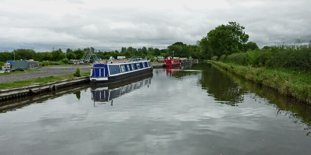
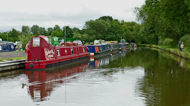
Penkridge Images

Images are sourced within 2km of 52.724676/-2.113017 or Grid Reference SJ9214. Thanks to Geograph Open Source API. All images are credited.

Filance Lock near Penkridge in Staffordshire Filance Lock is No 37 on the Staffordshire and Worcestershire Canal near Penkridge, by Templars Way. It proviseds a fall (or rise) of 10ft 3in (about 3·1 metres).
Filance Lock near Penkridge in Staffordshire
Filance Lock is No 37 on the Staffordshire and Worcestershire Canal near Penkridge, by Templars Way. It proviseds a fall (or rise) of 10ft 3in (about 3·1 metres).
Teddesley Park Bridge near Penkridge in Staffordshire Looking south-south-east towards Penkridge and Wolverhampton.
Teddesley Park Bridge is No 89 across the Staffordshire and Worcestershire Canal. The accommodation bridge carries a farm track and public footpath.
Teddesley Park Bridge near Penkridge in Staffordshire
Looking south-south-east towards Penkridge and Wolverhampton. Teddesley Park Bridge is No 89 across the Staffordshire and Worcestershire Canal. The accommodation bridge carries a farm track and public footpath.
Swans in Longford Lock near Penkridge, Staffordshire These three wanted a free lift up to the next water level.

<a href="https://www.geograph.org.uk/photo/7049547">SJ9314 : Swans using Longford Lock near Penkridge, Staffordshire</a>
Swans in Longford Lock near Penkridge, Staffordshire
These three wanted a free lift up to the next water level. SJ9314 : Swans using Longford Lock near Penkridge, Staffordshire
Mixed usage of Longord Lock near Penkridge The three swans swam into the lock chamber in front of the narrowboat. Despite the turbulence of the water entering the lock through the gate paddles, they showed little sign of distress or concern.

Longford Lock is No 39 on the Staffordshire and Worcestershire Canal, providing a rise (or fall) of ten feet (three metres).


<a href="https://www.geograph.org.uk/photo/7049572">SJ9314 : Longford Lock with swans, north of Penkridge</a>
Mixed usage of Longord Lock near Penkridge
The three swans swam into the lock chamber in front of the narrowboat. Despite the turbulence of the water entering the lock through the gate paddles, they showed little sign of distress or concern. Longford Lock is No 39 on the Staffordshire and Worcestershire Canal, providing a rise (or fall) of ten feet (three metres). SJ9314 : Longford Lock with swans, north of Penkridge
Swans using Longford Lock near Penkridge, Staffordshire Looking south towards Penkridge and Wolverhampton.
The three swans swam into the lock chamber in front of a narrowboat. Despite the turbulence of the water entering the lock through the gate paddles, they showed little sign of distress or concern, and waited patiently for me to open the gate.

Longford Lock is No 39 on the Staffordshire and Worcestershire Canal, providing a rise (or fall) of ten feet (three metres).
Swans using Longford Lock near Penkridge, Staffordshire
Looking south towards Penkridge and Wolverhampton. The three swans swam into the lock chamber in front of a narrowboat. Despite the turbulence of the water entering the lock through the gate paddles, they showed little sign of distress or concern, and waited patiently for me to open the gate. Longford Lock is No 39 on the Staffordshire and Worcestershire Canal, providing a rise (or fall) of ten feet (three metres).
Longford Lock with swans, north of Penkridge Looking south towards Penkridge and Wolverhampton.
The three swans swam into the lock chamber in front of a narrowboat. Despite the initial turbulence of the water entering the lock through the gate paddles, they showed little sign of distress or concern, and are waiting patiently for me to open the gate.

<a href="https://www.geograph.org.uk/photo/7049535">SJ9314 : Mixed usage of Longord Lock near Penkridge</a>

Longford Lock is No 39 on the Staffordshire and Worcestershire Canal, providing a rise (or fall) of ten feet (three metres).
Longford Lock with swans, north of Penkridge
Looking south towards Penkridge and Wolverhampton. The three swans swam into the lock chamber in front of a narrowboat. Despite the initial turbulence of the water entering the lock through the gate paddles, they showed little sign of distress or concern, and are waiting patiently for me to open the gate. SJ9314 : Mixed usage of Longord Lock near Penkridge Longford Lock is No 39 on the Staffordshire and Worcestershire Canal, providing a rise (or fall) of ten feet (three metres).
Housing by the canal near Penkridge in Staffordshire This is the Staffordshire and Worcestershire Canal, looking south-west towards Penkridge Lock. The mobile homes are in Little Marsh Grove.
Housing by the canal near Penkridge in Staffordshire
This is the Staffordshire and Worcestershire Canal, looking south-west towards Penkridge Lock. The mobile homes are in Little Marsh Grove.
Moored narrowboats near Penkridge in Staffordshire This is the Staffordshire and Worcestershire Canal, looking south-west towards Penkridge Lock (just past the bend). There are plenty of visitor moorings here north of Penkridge Lock.
Moored narrowboats near Penkridge in Staffordshire
This is the Staffordshire and Worcestershire Canal, looking south-west towards Penkridge Lock (just past the bend). There are plenty of visitor moorings here north of Penkridge Lock.
Staffordshire and Worcestershire Canal at Penkridge in Staffordshire This is the Staffordshire and Worcestershire Canal, looking south-west towards Penkridge Lock (just past the bend). There are plenty of visitor moorings here north of Penkridge Bridge and Lock.
Staffordshire and Worcestershire Canal at Penkridge in Staffordshire
This is the Staffordshire and Worcestershire Canal, looking south-west towards Penkridge Lock (just past the bend). There are plenty of visitor moorings here north of Penkridge Bridge and Lock.
Canal by Penkridge Bridge, Staffordshire This is the Staffordshire and Worcestershire Canal at Penkridge Bridge (No 86) and Lock (No 38 (just visible). There are plenty of visitor moorings behind the camera. The popular Boat Inn is off to the right.
Canal by Penkridge Bridge, Staffordshire
This is the Staffordshire and Worcestershire Canal at Penkridge Bridge (No 86) and Lock (No 38 (just visible). There are plenty of visitor moorings behind the camera. The popular Boat Inn is off to the right.
Penkridge Bridge and Lock in Staffordshire This is the Staffordshire and Worcestershire Canal at Penkridge Bridge (No 86) and Lock (No 38). There are plenty of visitor moorings behind the camera. The bridge carries Cannock Road. The lock provides a rise of 9ft 3in (2·8 metres), and its tail gates are leaking badly. The popular Boat Inn is off to the right.
Penkridge Bridge and Lock in Staffordshire
This is the Staffordshire and Worcestershire Canal at Penkridge Bridge (No 86) and Lock (No 38). There are plenty of visitor moorings behind the camera. The bridge carries Cannock Road. The lock provides a rise of 9ft 3in (2·8 metres), and its tail gates are leaking badly. The popular Boat Inn is off to the right.
Penkridge Lock in Staffordshire Looking south towards Wolverhampton and Stourport.
Penkridge Lock is No 38 on the Staffordshire and Worcestershire Canal. The lock provides a rise of 9ft 3in (2·8 metres), and has been drained in this image in anticipation of a narrowboat approaching from behind the camera. Contrasting with the bottom gates, the top gate is leaking minimally.
Penkridge Lock in Staffordshire
Looking south towards Wolverhampton and Stourport. Penkridge Lock is No 38 on the Staffordshire and Worcestershire Canal. The lock provides a rise of 9ft 3in (2·8 metres), and has been drained in this image in anticipation of a narrowboat approaching from behind the camera. Contrasting with the bottom gates, the top gate is leaking minimally.
Wading heron south of Penkridge, Staffordshire Unusually this bird decided not to fly off as we passed it on the Staffordshire and Worcestershire Canal. Teveray Drive housing is by the canal, above.
Wading heron south of Penkridge, Staffordshire
Unusually this bird decided not to fly off as we passed it on the Staffordshire and Worcestershire Canal. Teveray Drive housing is by the canal, above.
Canal cruising south of Penkridge in Staffordshire This is the Staffordshire and Worcestershire Canal at the southern edge of Penkridge, looking south-east as the canal meanders towards Wolverhampton and Stourport.
Canal cruising south of Penkridge in Staffordshire
This is the Staffordshire and Worcestershire Canal at the southern edge of Penkridge, looking south-east as the canal meanders towards Wolverhampton and Stourport.
Sunken boat by Otherton Marina near Penkridge A notice on the boat stated that it had been hit by a passing hire boat. Staffordshire and Worcestershire Canal.
Sunken boat by Otherton Marina near Penkridge
A notice on the boat stated that it had been hit by a passing hire boat. Staffordshire and Worcestershire Canal.
Staffordshire and Worcestershire Canal south of Penkridge Looking south-east towards Wolverhampton and Stourport. Otherton Marina is on the left.
Staffordshire and Worcestershire Canal south of Penkridge
Looking south-east towards Wolverhampton and Stourport. Otherton Marina is on the left.
Staffordshire and Worcestershire Canal south of Penkridge Looking south-east towards Wolverhampton and Stourport. Otherton Marina is on the left.
Staffordshire and Worcestershire Canal south of Penkridge
Looking south-east towards Wolverhampton and Stourport. Otherton Marina is on the left.
Show me another place!

Penkridge is located at Grid Ref: SJ9214 (Lat: 52.724676, Lng: -2.113017)

Administrative County: Staffordshire

District: South Staffordshire

Police Authority: Staffordshire

What 3 Words

///geologist.princes.admire. Near Penkridge, Staffordshire

Nearby Locations

Penkridge

Related Wikis

History of Penkridge

Penkridge is a village and parish in Staffordshire with a history stretching back to the Anglo-Saxon period. A religious as well as a commercial centre...

Penkridge

Penkridge ( PENG-krij) is a large village and civil parish in South Staffordshire District in Staffordshire, England. It is to the south of Stafford, north...

Penkridge railway station

Penkridge railway station is a railway station serving the village of Penkridge in Staffordshire, England. It is situated on the Birmingham loop of the...

Penkridge Viaduct

Penkridge Viaduct is a railway viaduct on the West Coast Main Line where it crosses the River Penk and Levedale Road near the village of Penkridge, Staffordshire...

Wolgarston High School

Wolgarston High School is a coeducational upper school and sixth form located in Penkridge, Staffordshire, England. Wolgarston High School is an age 13...

Rodbaston

Rodbaston is a village in Staffordshire, England. The population as taken at the 2011 census can be found under Penkridge. It is the location of a campus...
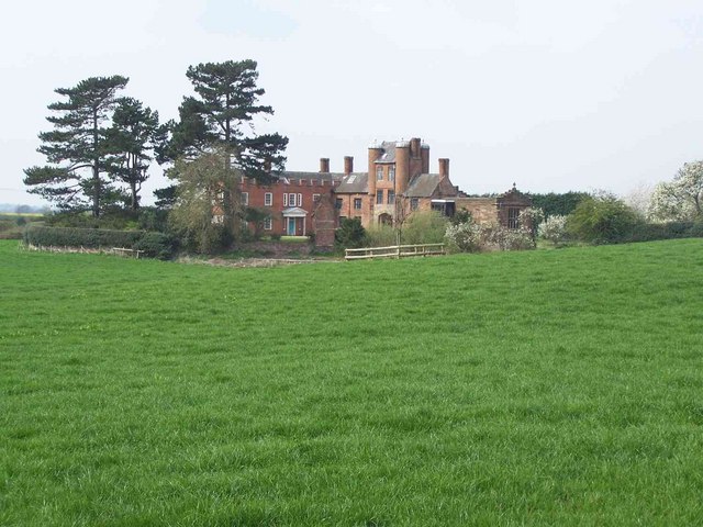
Pillaton Hall

Pillaton Hall was an historic house located in Pillaton, Staffordshire, near Penkridge, England. For more than two centuries it was the seat of the Littleton...

Pillaton, Staffordshire

Pillaton is a small village in Staffordshire, England, nearby to Penkridge and lying on the B5012 road between Cannock and Penkridge. It falls under the...

Nearby Amenities

Located within 500m of 52.724676,-2.113017
Penkridge
Place: town
Source: NPE
Wikidata: Q2194250
Wikipedia: en:Penkridge
Lat/Long: 52.7246633/-2.1127563
Penkridge
Naptan AtcoCode: 9100PNKRDG
Network: National Rail
Network Website: https://www.nationalrail.co.uk/stations/pkg/
Network Wikidata: Q26334
Public Transport: station
Railway: station
Ref Crs: PKG
Source: NPE
Wikidata: Q2547278
Wikipedia: en:Penkridge railway station
Lat/Long: 52.7236965/-2.1193938
Seamark Type: gate
Waterway: lock_gate
Lat/Long: 52.7238768/-2.1075813
Traffic Signals
Lat/Long: 52.7254363/-2.1192413
Bus Stop
Sapling Close
Bus: yes
Naptan AtcoCode: 3800C607800
Naptan Bearing: SW
Naptan Indicator: Adj
Naptan Landmark: Cannock Road (E)
Naptan Street: Haling Road
Naptan Verified: no
Public Transport: platform
Source: naptan_import
Lat/Long: 52.7244704/-2.1080595
Bus Stop
Sapling Close
Bus: yes
Naptan AtcoCode: 3800C607801
Naptan Bearing: NE
Naptan CommonName: Sapling Close
Naptan Indicator: Adj
Naptan Landmark: Sapling Close
Naptan Street: Haling Road
Naptan Verified: no
Public Transport: platform
Source: naptan_import
Lat/Long: 52.7245062/-2.1082668
Bus Stop
Market Place
Bus: yes
Naptan AtcoCode: 3800C609000
Naptan Bearing: N
Naptan CommonName: Market Place
Naptan Indicator: Adj
Naptan Landmark: Market Place
Naptan Street: Stone Cross
Naptan Verified: no
Public Transport: platform
Source: naptan_import
Lat/Long: 52.7270508/-2.1172169
Bus Stop
Little Marsh Grove
Bus: yes
Naptan AtcoCode: 3800C617701
Naptan Bearing: E
Naptan CommonName: Little Marsh Grove
Naptan Indicator: Adj
Naptan Landmark: Little Marsh Grove
Naptan Street: Cannock Road
Naptan Verified: no
Public Transport: platform
Source: naptan_import
Lat/Long: 52.7238964/-2.1065922
Bus Stop
Hatherton Road
Bus: yes
Naptan AtcoCode: 3800C617801
Naptan Bearing: NE
Naptan BusStopType: CUS
Naptan CommonName: Hatherton Road
Naptan Indicator: Opp
Naptan Landmark: Hatherton Road
Naptan Street: Teddesley Road
Naptan Verified: no
Public Transport: platform
Source: naptan_import
Lat/Long: 52.7282256/-2.1108082
Bus Stop
Frederick Road
Bus: yes
Naptan AtcoCode: 3800C617802
Naptan Bearing: W
Naptan BusStopType: CUS
Naptan CommonName: Frederick Road
Naptan Indicator: Adj
Naptan Landmark: Frederick Road
Naptan Street: Teddesley Road
Naptan Verified: no
Public Transport: platform
Source: naptan_import
Lat/Long: 52.7284249/-2.1092095
Bus Stop
Tildesley Close
Bus: yes
Naptan AtcoCode: 3800C619401
Naptan Bearing: NE
Naptan CommonName: Tildesley Close
Naptan Indicator: Adj
Naptan Landmark: Tildesley Close
Naptan Street: Vale Gardens
Naptan Verified: no
Public Transport: platform
Source: naptan_import
Lat/Long: 52.7211249/-2.1154067
Bus Stop
Manorfield Close
Bus: yes
Naptan AtcoCode: 3800C619501
Naptan Bearing: W
Naptan CommonName: Manorfield Close
Naptan Indicator: Adj
Naptan Landmark: Manorfield Close
Naptan Street: Vale Gardens
Public Transport: platform
Source: naptan_import
Lat/Long: 52.7213727/-2.1132907
Bus Stop
Haling Close
Bus: yes
Naptan AtcoCode: 3800C619601
Naptan Bearing: SW
Naptan CommonName: Haling Close
Naptan Indicator: Adj
Naptan Landmark: Haling Close
Naptan Street: Filance Lane
Naptan Verified: no
Public Transport: platform
Source: naptan_import
Lat/Long: 52.7220588/-2.1106297
Bus Stop
Cannock Road
Bus: yes
Naptan AtcoCode: 3800C619701
Naptan Bearing: NW
Naptan CommonName: Cannock Road
Naptan Indicator: Adj
Naptan Landmark: Cannock Road
Naptan Street: Frances Green Lane
Naptan Verified: no
Public Transport: platform
Source: naptan_import
Lat/Long: 52.7241612/-2.1118788
Bus Stop
Bakery
Bus: yes
Naptan AtcoCode: 3800C638701
Naptan Bearing: SW
Naptan CommonName: Bakery
Naptan Indicator: Adj
Naptan Landmark: Bakery
Naptan Street: Crown Bridge
Naptan Verified: no
Public Transport: platform
Source: naptan_import
Lat/Long: 52.725488/-2.1157468
Bus Stop
Crown Bridge
Bus: yes
Naptan AtcoCode: 3800C638702
Naptan Bearing: SE
Naptan Indicator: Adj
Naptan Landmark: Estate Agents
Naptan Street: Crown Bridge
Naptan Verified: no
Public Transport: platform
Source: naptan_import
Lat/Long: 52.7257396/-2.1158808
Bus Stop
Crown Bridge
Bus: yes
Naptan AtcoCode: 3800C638703
Naptan Bearing: N
Naptan CommonName: Church
Naptan Indicator: Adj
Naptan Landmark: Stone Cross
Naptan Street: Clay St
Naptan Verified: no
Public Transport: platform
Source: naptan_import
Lat/Long: 52.7254875/-2.1163243
The Railway
Lat/Long: 52.7235243/-2.1162121
Crossing: traffic_signals
Lat/Long: 52.7249207/-2.1160257
Kindergarten
Little Treasures Nursery
Lat/Long: 52.7249677/-2.1128359
Traffic Signals
Lat/Long: 52.7254348/-2.1190208
New Road, Penkridge
Power: substation
Ref: 8364
Lat/Long: 52.723982/-2.1143534
Crossing
Crossing: traffic_signals
Lat/Long: 52.7262968/-2.116331
Dentist
Priors' Dental Practice
Healthcare: dentist
Lat/Long: 52.7259222/-2.1177667
Barrier: kissing_gate
Lat/Long: 52.7238507/-2.1191392
Turning Circle
Lat/Long: 52.7251509/-2.1083224
Halingdene
Power: substation
Ref: 8439
Lat/Long: 52.7239267/-2.1077485
Post Box
Ref: ST19 152
Lat/Long: 52.7272928/-2.1087654
Crossing
Crossing: uncontrolled
Crossing Ref: zebra
Source: Bing
Lat/Long: 52.7264759/-2.1134345
Seamark Type: gate
Waterway: lock_gate
Lat/Long: 52.7236706/-2.10761
Post Box
Ref: ST19 1901
Lat/Long: 52.7254597/-2.1141532
Mooring: yes
Lat/Long: 52.7225703/-2.1077941
Police
Opening Hours: restricted
Lat/Long: 52.7240832/-2.1097491
Telephone
Booth: KX100
Covered: booth
Operator: British Telecom
Phone: +441785712311
Lat/Long: 52.7255397/-2.1153672
Post Box
Ref: ST19 259
Lat/Long: 52.7212361/-2.1154782
Croydon Drive
Power: substation
Ref: 8738
Lat/Long: 52.7225727/-2.1124508
Barrier: bollard
Lat/Long: 52.7218038/-2.1085009
Post Box
Ref: ST19 330
Lat/Long: 52.7242776/-2.1088393
Barrier: cycle_barrier
Lat/Long: 52.7217027/-2.1082674
Post Box
Ref: ST19 410
Lat/Long: 52.7219259/-2.1110397
Penkridge Heritage Centre
Building: yes
Lat/Long: 52.7251052/-2.1121807
Barrier: cycle_barrier
Lat/Long: 52.7216512/-2.1082149
Bench
Lat/Long: 52.7247835/-2.1127849
Waste Disposal
Penkridge Rubbish Disposal
Access: permissive
Centralkey: crt_watermate
Operator: Canal and River Trust
Waste: trash
Waterway: waste_disposal
Lat/Long: 52.7236016/-2.1075153
Penkridge Hardware
Shop: hardware
Source: View from road
Lat/Long: 52.7258535/-2.1158576
Bus Stop
Bus: yes
Public Transport: platform
Lat/Long: 52.7214593/-2.1138382
Grit Bin
Lat/Long: 52.7214779/-2.1137524
Bench
Lat/Long: 52.7216859/-2.1141493
Atm
Lat/Long: 52.7255665/-2.1140474
Toilets
Penkridge Services Toilets
Access: permissive
Centralkey: crt_watermate
Operator: Canal and River Trust
Lat/Long: 52.7235683/-2.1075162
Sanitary Dump Station
Penkridge Elsan Point
Access: customers
Operator: Canal and River Trust
Sanitary Dump Station: yes
Sanitary Dump Station Accepted: black_water
Sanitary Dump Station Basin: yes
Sanitary Dump Station Pump-out: no
Waste: toilet
Waterway: sanitary_dump_station
Lat/Long: 52.7235838/-2.1075158
Waste Basket
Lat/Long: 52.7240147/-2.1076745
Entrance: main
Lat/Long: 52.7240043/-2.1079246
Entrance: yes
Lat/Long: 52.7241205/-2.1079072
Entrance: yes
Lat/Long: 52.7240754/-2.1078025
Telephone
Booth: KX100
Covered: booth
Lat/Long: 52.7236379/-2.1192762
Source: Bing
Traffic Calming: cushion
Lat/Long: 52.7283478/-2.1099034
Tildesley Close
Power: substation
Ref: 8774
Lat/Long: 52.7217693/-2.1160922
Height: 5
Natural: cliff
Lat/Long: 52.7212501/-2.1157727
Winding Hole
Description: 70 Ft Boat Turning Point
Lat/Long: 52.722762/-2.1075128
Water Point
Penkridge Water Point
Access: permissive
Centralkey: crt_watermate
Description: Canal Services. Water Filling Point
Drinking Water: yes
Man Made: water_tap
Operator: Canal and River Trust
Waterway: water_point
Lat/Long: 52.7235509/-2.107519
Generator Method: photovoltaic
Generator Output Electricity: yes
Generator Source: solar
Generator Type: solar_photovoltaic_panel
Location: roof
Power: generator
Lat/Long: 52.7222545/-2.1184891
Generator Method: photovoltaic
Generator Output Electricity: yes
Generator Source: solar
Generator Type: solar_photovoltaic_panel
Location: roof
Power: generator
Lat/Long: 52.7224779/-2.1114336
Generator Method: photovoltaic
Generator Output Electricity: yes
Generator Source: solar
Generator Type: solar_photovoltaic_panel
Location: roof
Power: generator
Lat/Long: 52.7260826/-2.1138154
Generator Method: photovoltaic
Generator Output Electricity: yes
Generator Source: solar
Generator Type: solar_photovoltaic_panel
Location: roof
Power: generator
Lat/Long: 52.7267462/-2.1097653
Generator Method: photovoltaic
Generator Output Electricity: yes
Generator Source: solar
Generator Type: solar_photovoltaic_panel
Location: roof
Power: generator
Lat/Long: 52.724459/-2.1070777
Generator Method: photovoltaic
Generator Output Electricity: yes
Generator Source: solar
Generator Type: solar_photovoltaic_panel
Location: roof
Power: generator
Lat/Long: 52.7239923/-2.1067223
Generator Method: photovoltaic
Generator Output Electricity: yes
Generator Source: solar
Generator Type: solar_photovoltaic_panel
Location: roof
Power: generator
Lat/Long: 52.7252403/-2.1089646
Generator Method: photovoltaic
Generator Output Electricity: yes
Generator Source: solar
Generator Type: solar_photovoltaic_panel
Location: roof
Power: generator
Lat/Long: 52.7257057/-2.1093294
Generator Method: photovoltaic
Generator Output Electricity: yes
Generator Source: solar
Generator Type: solar_photovoltaic_panel
Location: roof
Power: generator
Lat/Long: 52.7256399/-2.1077067
Generator Method: photovoltaic
Generator Output Electricity: yes
Generator Source: solar
Generator Type: solar_photovoltaic_panel
Location: roof
Power: generator
Lat/Long: 52.7253167/-2.1075122
Generator Method: photovoltaic
Generator Output Electricity: yes
Generator Source: solar
Generator Type: solar_photovoltaic_panel
Location: roof
Power: generator
Lat/Long: 52.7262198/-2.1068269
Generator Method: photovoltaic
Generator Output Electricity: yes
Generator Source: solar
Generator Type: solar_photovoltaic_panel
Location: roof
Power: generator
Lat/Long: 52.7264578/-2.107299
Bus Stop
Medical Centre
Bus: yes
Naptan AtcoCode: 3800C626302
Naptan NaptanCode: stagajmg
Naptan Verified: no
Public Transport: platform
Source: naptan
Lat/Long: 52.7251502/-2.1201459
Bus Stop
Medical Centre
Bus: yes
Naptan AtcoCode: 3800C626301
Naptan NaptanCode: stagdgam
Naptan Verified: no
Public Transport: platform
Source: naptan
Lat/Long: 52.7251706/-2.1202014
Generator Source: solar
Location: roof
Power: generator
Lat/Long: 52.7257658/-2.1169737
Street Lamp
Lat/Long: 52.7236117/-2.118851
Communication Mobile Phone: yes
Man Made: mast
Operator: Arqiva
Tower Construction: tubular
Tower Type: communication
Lat/Long: 52.7273158/-2.1172018
Communication Mobile Phone: yes
Man Made: mast
Operator: Vodafone
Tower Construction: tubular
Tower Type: communication
Lat/Long: 52.7272361/-2.1168674
Check Date: 2017-19-05
Disused Shop: yes
Lat/Long: 52.7254523/-2.1147461
Vending Machine
Vending: public_transport_tickets
Lat/Long: 52.7236337/-2.1192328
Bus Stop
Lat/Long: 52.7285494/-2.1161699
Street Lamp
Lat/Long: 52.7286555/-2.1160901
Street Lamp
Lat/Long: 52.7283826/-2.1162898
Power: pole
Lat/Long: 52.7290526/-2.1116531
Power: pole
Lat/Long: 52.7287311/-2.1110301
Power: pole
Lat/Long: 52.7284041/-2.1103847
The data included in this document is from www.openstreetmap.org. The data is made available under ODbL.

Have you been to Penkridge?

Leave your review of Penkridge below (or comments, questions and feedback).