Pencraig

Settlement in Herefordshire

England

Pencraig

Orchards west of Glewstone Late autumn colour in the orchards I last photographed in summer 2008; <a href="https://www.geograph.org.uk/photo/891013">SO5522 : Orchards west of Glewstone</a>.
Orchards west of Glewstone Credit: Jonathan Billinger

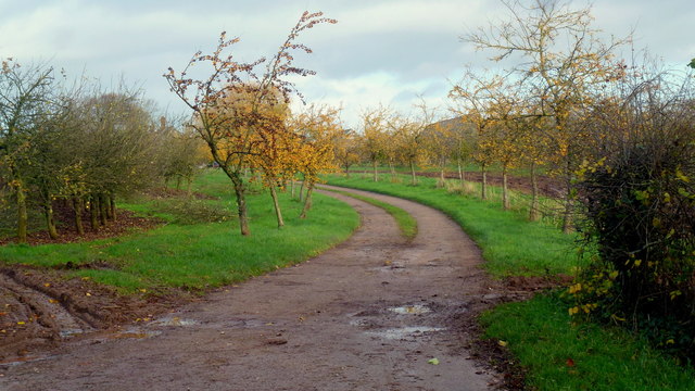
Pencraig is a quaint village located in the county of Herefordshire, England. Nestled amidst the picturesque countryside, this rural settlement offers a peaceful and idyllic setting for its residents and visitors alike. Situated approximately 7 miles northwest of the city of Hereford, Pencraig benefits from being in close proximity to urban amenities while maintaining a tranquil atmosphere.

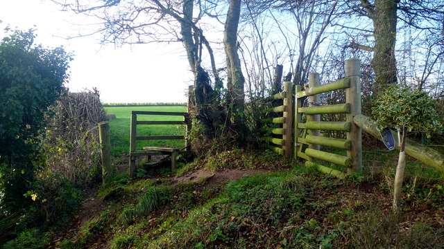
The village is characterized by its charming architecture, with a mix of traditional stone cottages and more modern houses. The surrounding landscape is dominated by lush green fields, rolling hills, and dense woodland, providing ample opportunities for outdoor activities such as hiking, cycling, and horseback riding.

Pencraig boasts a strong sense of community, with a close-knit population of around 500 residents. The village has a local pub, The Red Lion, which serves as a social hub for both residents and visitors, offering a warm and friendly atmosphere.

In terms of amenities, Pencraig has a primary school, providing education for the village's children. For more extensive shopping or leisure options, residents can easily access the nearby city of Hereford, which offers a wide range of retail stores, restaurants, and entertainment venues.

Overall, Pencraig offers a tranquil and picturesque retreat for those seeking a peaceful countryside lifestyle, while still benefiting from the convenience of nearby urban amenities.

If you have any feedback on the listing, please let us know in the comments section below.
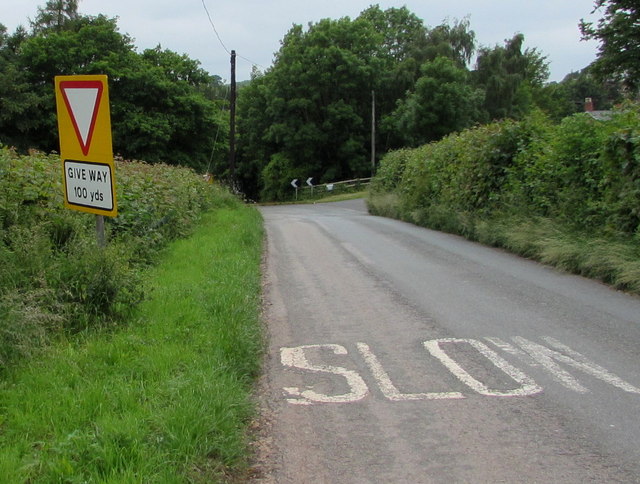
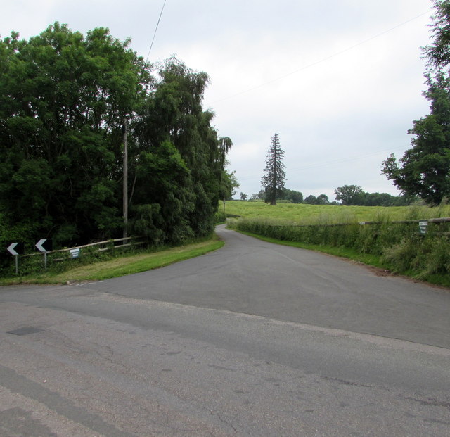
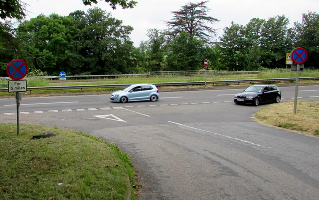
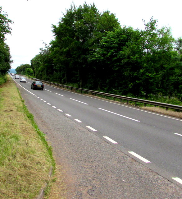
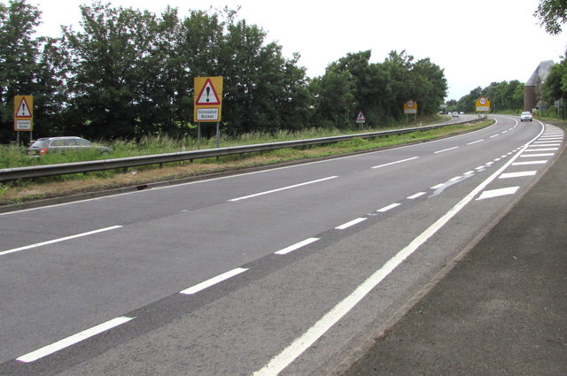
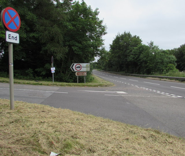
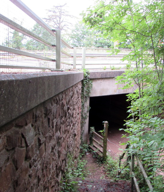
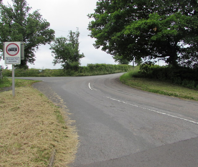
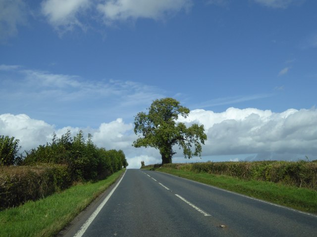
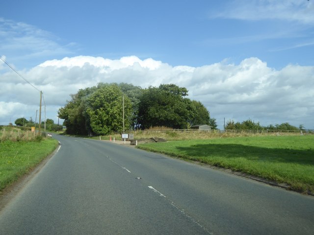
Pencraig Images

Images are sourced within 2km of 51.88605/-2.6365113 or Grid Reference SO5621. Thanks to Geograph Open Source API. All images are credited.

Orchards west of Glewstone Late autumn colour in the orchards I last photographed in summer 2008; <a href="https://www.geograph.org.uk/photo/891013">SO5522 : Orchards west of Glewstone</a>.
Orchards west of Glewstone
Late autumn colour in the orchards I last photographed in summer 2008; SO5522 : Orchards west of Glewstone.
Footpath south to The Thorne The path comes to the road in the next square south at <a href="https://www.geograph.org.uk/photo/976206">SO5521 : Footpath north of The Thorne</a>.
Footpath south to The Thorne
The path comes to the road in the next square south at SO5521 : Footpath north of The Thorne.
Gatehouse Lodge of Goodrich Court Goodrich Court itself is now demolished
Gatehouse Lodge of Goodrich Court
Goodrich Court itself is now demolished
Flying the Flag at Goodrich Castle The English Heritage flag is flying on the barbican
Flying the Flag at Goodrich Castle
The English Heritage flag is flying on the barbican
Misaligned Give Way 100 Yards Ahead sign near Pencraig Probably misaligned after being hit by a vehicle, the sign is alongside the unclassified road from Goodrich on the descent to the A40 junction near Pencraig in south Herefordshire.
Misaligned Give Way 100 Yards Ahead sign near Pencraig
Probably misaligned after being hit by a vehicle, the sign is alongside the unclassified road from Goodrich on the descent to the A40 junction near Pencraig in south Herefordshire.
Home Farm access road, Pencraig Private road parallel with the east side of the A40, a few metres out of shot on the left.
Home Farm access road, Pencraig
Private road parallel with the east side of the A40, a few metres out of shot on the left.
Clearway for 5 miles sign, Pencraig At the A40 junction, facing the minor road from Goodrich.  
A clearway means no stopping except in an emergency or traffic jam.
The white arrow on the blue sign in the background indicates 
a mandatory left turn, onto the dual carriageway A40.
Clearway for 5 miles sign, Pencraig
At the A40 junction, facing the minor road from Goodrich. A clearway means no stopping except in an emergency or traffic jam. The white arrow on the blue sign in the background indicates a mandatory left turn, onto the dual carriageway A40.
Southbound carriageway of the A40 south of Pencraig Viewed from the corner of the minor road to Goodrich.
Southbound carriageway of the A40 south of Pencraig
Viewed from the corner of the minor road to Goodrich.
Warning signs - Concealed Access on the A40 near Pencraig The signs face vehicles on the northbound carriageway of the A40, on the approach to Pencraig. 
A Grade II listed building <a title="https://www.geograph.org.uk/photo/3421807" href="https://www.geograph.org.uk/photo/3421807">Link</a> is in the background on the right.
Warning signs - Concealed Access on the A40 near Pencraig
The signs face vehicles on the northbound carriageway of the A40, on the approach to Pencraig. A Grade II listed building Link is in the background on the right.
End of Clearway sign facing the A40 near Pencraig Facing the southbound carriageway of the A40, along which clearway regulations 
(no stopping except in an emergency or traffic jam) are in force. 
The minor road heads towards the south Herefordshire village of Goodrich, and Goodrich Castle.
End of Clearway sign facing the A40 near Pencraig
Facing the southbound carriageway of the A40, along which clearway regulations (no stopping except in an emergency or traffic jam) are in force. The minor road heads towards the south Herefordshire village of Goodrich, and Goodrich Castle.
Underpass below the A40 near Pencraig The east side of the underpass which gives walkers an alternative to crossing the  dual carriageway A40. <a title="https://www.geograph.org.uk/photo/5027195" href="https://www.geograph.org.uk/photo/5027195">Link</a>
Underpass below the A40 near Pencraig
The east side of the underpass which gives walkers an alternative to crossing the dual carriageway A40. Link
Weight limit 7.5 tonnes (except for access) sign facing the A40 near Pencraig The sign is alongside the minor road to Goodrich, facing the A40 junction in south Herefordshire.
Weight limit 7.5 tonnes (except for access) sign facing the A40 near Pencraig
The sign is alongside the minor road to Goodrich, facing the A40 junction in south Herefordshire.
Countryside view from Goodrich Castle's northern wall Fine vista.
Countryside view from Goodrich Castle's northern wall
Fine vista.
Northern walls of Goodrich Castle Unfortunately the trees have grown up to hide the impressive slopes to the River Wye. You can barely see the river from the top of the tower!
Northern walls of Goodrich Castle
Unfortunately the trees have grown up to hide the impressive slopes to the River Wye. You can barely see the river from the top of the tower!
Goodrich  Castle  site  of  the  17th  century  stables The stables were destroyed in a night raid by Parliamentarian soldiers on the 10th of March 1646. The southwest tower beyond.
Goodrich Castle site of the 17th century stables
The stables were destroyed in a night raid by Parliamentarian soldiers on the 10th of March 1646. The southwest tower beyond.
Goodrich  Castle  Southwest  Tower  and  Great  Hall Taken from the remains of the southwest turret and curtain wall over the site of the stables.
Goodrich Castle Southwest Tower and Great Hall
Taken from the remains of the southwest turret and curtain wall over the site of the stables.
Solitary tree by the A4137 Just south of the turning for Trebandy Farm
Solitary tree by the A4137
Just south of the turning for Trebandy Farm
Trees at the corner of a field, Whitfield
Show me another place!

Pencraig is located at Grid Ref: SO5621 (Lat: 51.88605, Lng: -2.6365113)

Unitary Authority: County of Herefordshire

Police Authority: West Mercia

What 3 Words

///assets.mallets.cried. Near Marstow, Herefordshire

Related Wikis

Goodrich Court

Goodrich Court, Goodrich, Herefordshire, England was a 19th-century, neo-gothic castle built by the antiquarian Sir Samuel Rush Meyrick in 1828. Designed...

Hill Court Manor

Hill Court Manor (grid reference SO574216) is a country house built in 1700 at Hom Green, Walford near Ross-on-Wye in Herefordshire. The house is a Grade...

Glewstone Court Hotel

Glewstone Court, in the hamlet of Glewstone and the civil parish of Marstow in Herefordshire, England, is a building of historical significance listed...
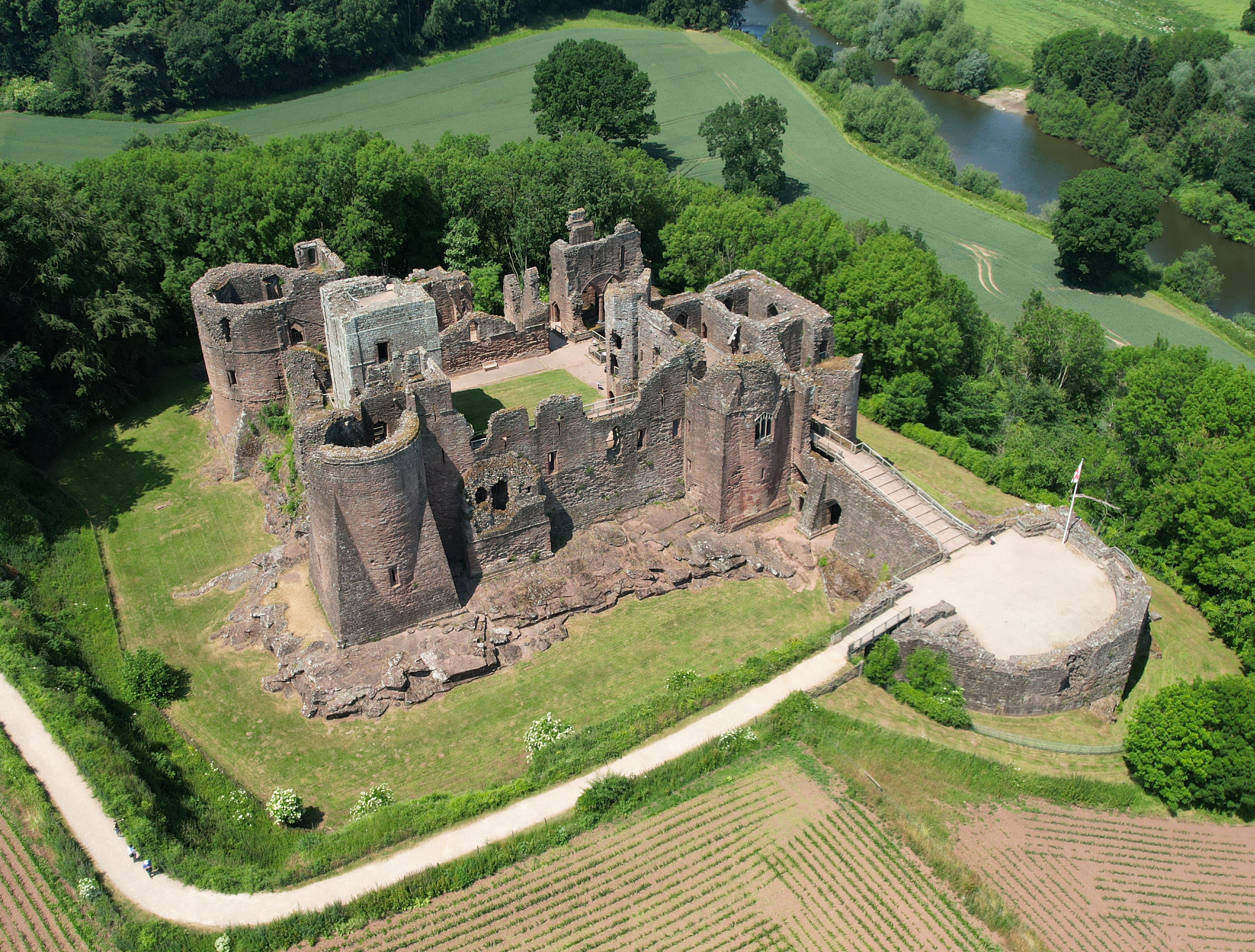
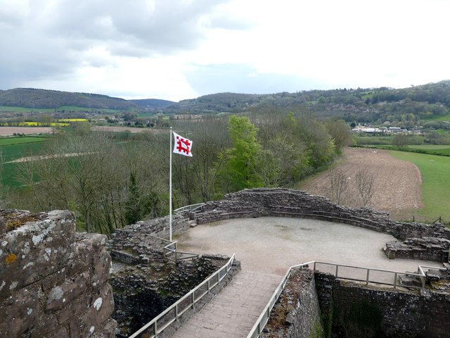
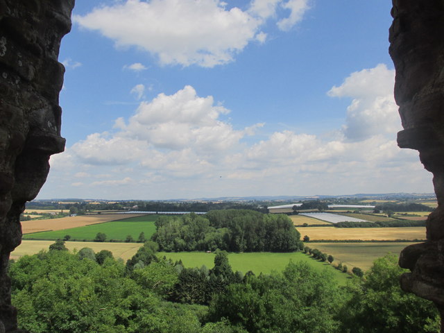
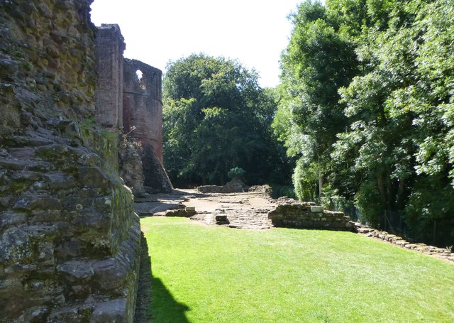
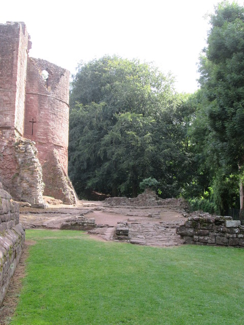
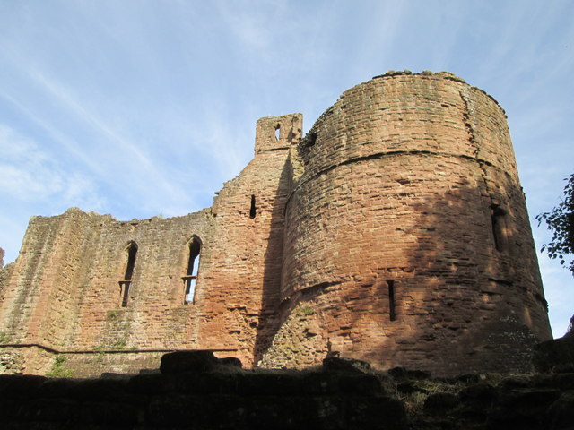
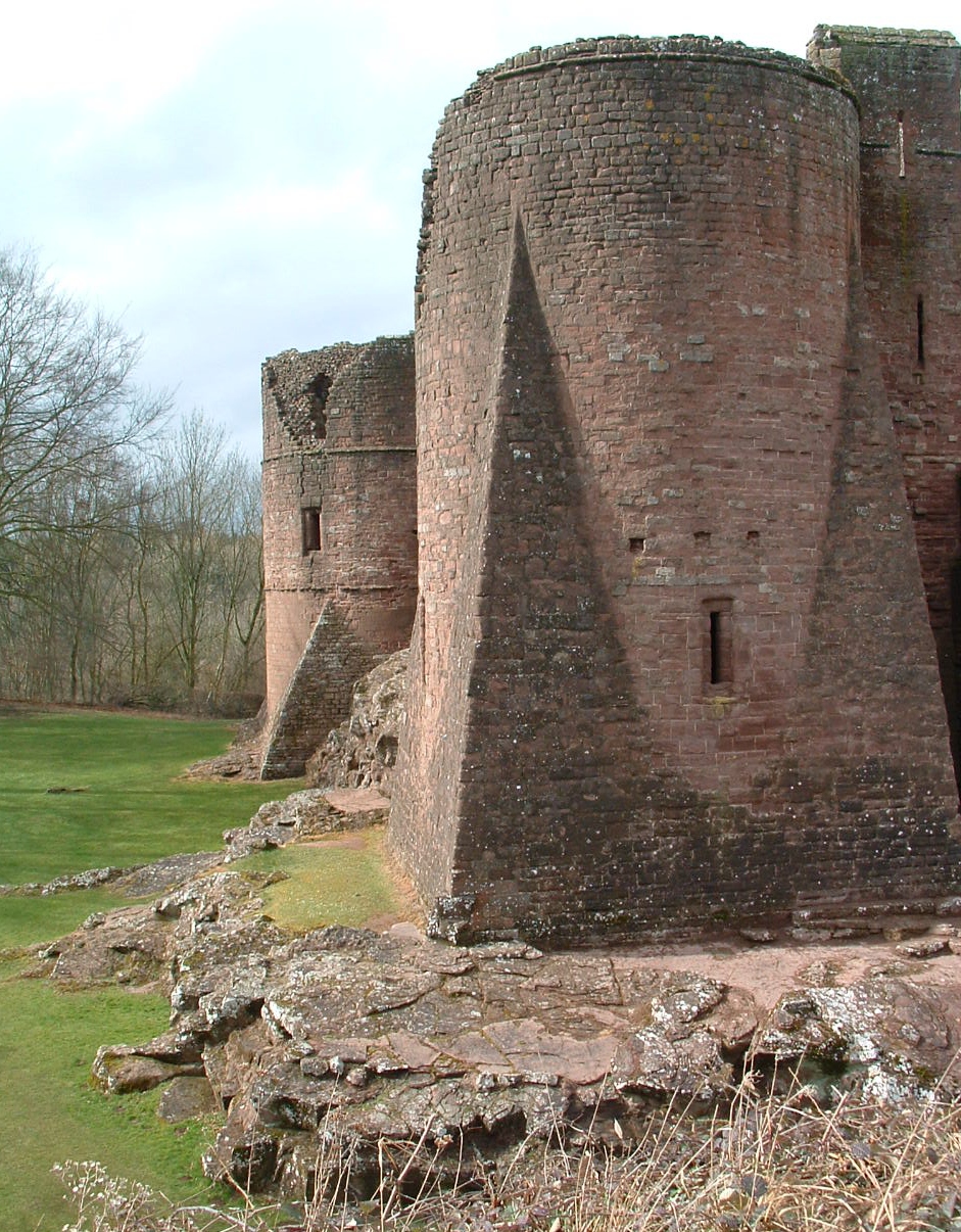
Goodrich Castle

Goodrich Castle is a Norman medieval castle ruin north of the village of Goodrich in Herefordshire, England, controlling a key location between Monmouth...

Goodrich, Herefordshire

Goodrich is a village in south Herefordshire, England close to Gloucestershire and the Forest of Dean, situated near the River Wye at grid reference SO574193...

Marstow

Marstow is a hamlet and civil parish in south eastern Herefordshire, England. Most of the parish is within the Wye Valley Area of Outstanding Natural Beauty...

Redmire Pool

Redmire Pool is near Ross-on-Wye in Herefordshire, England. At only 3 acres (1.2 ha) in size it is considered by angling experts to be the home of carp...

Flanesford Priory

Flanesford Priory was an Augustinian priory in Herefordshire, England. Sir Richard Talbot, then owner of nearby Goodrich Castle, founded the priory in...

Nearby Amenities

Located within 500m of 51.88605,-2.6365113
Pencraig
Place: hamlet
Lat/Long: 51.8846507/-2.6352596
Parking
Lat/Long: 51.8882248/-2.6365499
The data included in this document is from www.openstreetmap.org. The data is made available under ODbL.

Have you been to Pencraig?

Leave your review of Pencraig below (or comments, questions and feedback).