Pencarrow

Settlement in Cornwall

England

Pencarrow

Camelford Methodist Church
Camelford Methodist Church Credit: Paul Barnett

The requested URL returned error: 429 Too Many Requests

If you have any feedback on the listing, please let us know in the comments section below.
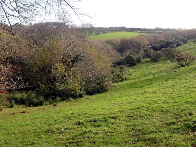
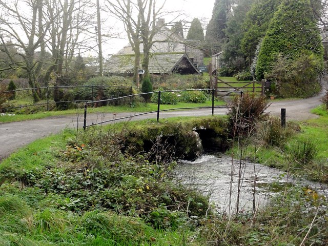
Pencarrow Images

Images are sourced within 2km of 50.611792/-4.67774 or Grid Reference SX1082. Thanks to Geograph Open Source API. All images are credited.

Camelford Methodist Church
Camelford entrance sign
Camelford : Clock on Town Hall A clock on the town hall with a camel on the top.
Camelford : Clock on Town Hall
A clock on the town hall with a camel on the top.
Camelford : Camelford Conservative Club The Con Club on Victoria Road in Camelford with a Union Jack flying on the outside.
Camelford : Camelford Conservative Club
The Con Club on Victoria Road in Camelford with a Union Jack flying on the outside.
Camelford : A39 High Street The High Street through Camelford on the A39.
Camelford : A39 High Street
The High Street through Camelford on the A39.
Camelford : A39 High Street The High Street through Camelford.
Camelford : A39 High Street
The High Street through Camelford.
Bridge on Roughtor Road Bridge over a tributary of the River Camel on the road from Camelford to Rough Tor and Bodmin Moor.
Bridge on Roughtor Road
Bridge over a tributary of the River Camel on the road from Camelford to Rough Tor and Bodmin Moor.
North Cornwall Museum and Gallery North Cornwall Museum and Gallery in Camelford.
North Cornwall Museum and Gallery
North Cornwall Museum and Gallery in Camelford.
Footpath near Camelford This public footpath follows the course of an old lane.
Footpath near Camelford
This public footpath follows the course of an old lane.
Footbridge over a Stream
Valleyside Pasture
Valleyside Pasture
Barn near Treclago The barn lies beside a farm track which is also a public footpath.
Barn near Treclago
The barn lies beside a farm track which is also a public footpath.
Autumnal Country Lane Despite it being mid November there are still some Autumn leaves left on the trees.
Autumnal Country Lane
Despite it being mid November there are still some Autumn leaves left on the trees.
Ford and Bridge A road crossing a stream on the northern flank of Bodmin Moor.
Ford and Bridge
A road crossing a stream on the northern flank of Bodmin Moor.
The Bridge at Watergate
Advent Parish Church Situated near the hamlet of Tresinney this parish church, dedicated to St Athwenna, is found in the middle of fields at the junction of four footpaths. It is not unusual for Cornish parish churches to be isolated but normally not quite as isolated as this.
Advent Parish Church
Situated near the hamlet of Tresinney this parish church, dedicated to St Athwenna, is found in the middle of fields at the junction of four footpaths. It is not unusual for Cornish parish churches to be isolated but normally not quite as isolated as this.
Footbridge over the River Camel
Traffic jam, Camelford The A39 beside Boots.
Traffic jam, Camelford
The A39 beside Boots.
Show me another place!

Pencarrow is located at Grid Ref: SX1082 (Lat: 50.611792, Lng: -4.67774)

Unitary Authority: Cornwall

Police Authority: Devon and Cornwall

What 3 Words

///claw.hulk.compiler. Near Camelford, Cornwall

Nearby Locations

Valley Truckle Pencarrow

Related Wikis

Camelford water pollution incident

The Camelford water pollution incident involved the accidental contamination of the drinking water supply to the town of Camelford, Cornwall, in July 1988...

Camelford

Camelford (Cornish: Reskammel) is a town and civil parish in north Cornwall, England, United Kingdom, situated in the River Camel valley northwest of Bodmin...
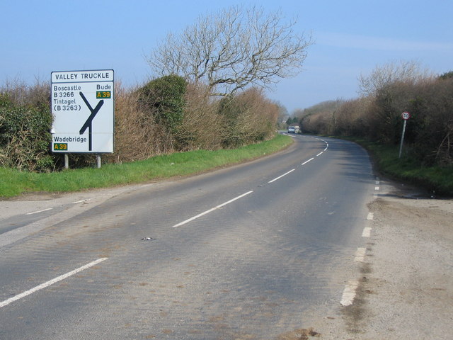
Valley Truckle

Valley Truckle is a hamlet on the A39 road south of Camelford in Cornwall, England. Its name probably derives from a corruption of Cornish "Vellan draeth...

Camelford Rural District

Camelford Rural District was a local government division of north Cornwall between 1894 and 1974. The district council offices were at Camelford, Cornwall...

Nearby Amenities

Located within 500m of 50.611792,-4.67774
Pencarrow
Is In: Cornwall, England, UK
Place: hamlet
Lat/Long: 50.6114945/-4.6774185
Public Bookcase
Advent Telephone Box Library
Booth: K6
Disused Amenity: telephone
Man Made: telephone_box
Public Bookcase Type: phone_box
Lat/Long: 50.6116208/-4.6778225
Post Box
Post Box Type: lamp
Lat/Long: 50.6116127/-4.6778547
Crooked Park
Place: isolated_dwelling
Lat/Long: 50.609548/-4.6724588
Treclago
Place: isolated_dwelling
Lat/Long: 50.6145373/-4.6756019
The data included in this document is from www.openstreetmap.org. The data is made available under ODbL.

Have you been to Pencarrow?

Leave your review of Pencarrow below (or comments, questions and feedback).