Pencaitland

Settlement in East Lothian

Scotland

Pencaitland

Winton House Early 17th century house, with large additions about 1805. At the time the photograph was taken it was known as Winton House, but is now known as Winton Castle.
It is Category A listed <span class="nowrap"><a title="http://portal.historicenvironment.scot/designation/LB18948" rel="nofollow ugc noopener" href="http://portal.historicenvironment.scot/designation/LB18948">Link</a><img style="margin-left:2px;" alt="External link" title="External link - shift click to open in new window" src="https://s1.geograph.org.uk/img/external.png" width="10" height="10"/></span>.

Scanned from an AGFA colour transparency.
Winton House Credit: Richard Sutcliffe

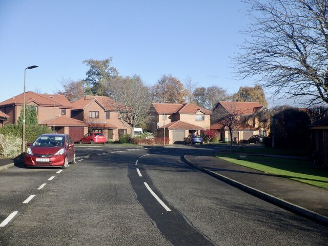
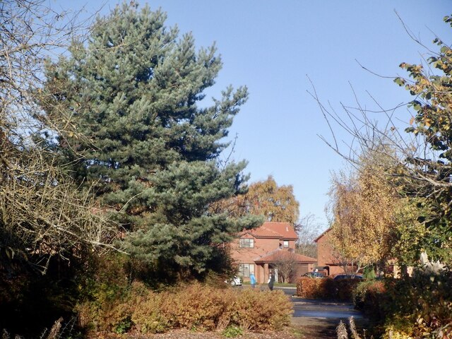
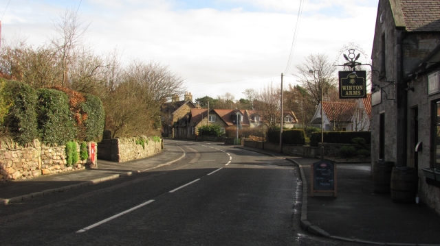
Pencaitland is a small village located in East Lothian, Scotland. It is situated approximately 12 miles east of Edinburgh and is surrounded by picturesque countryside. The village is known for its historic buildings, including the 12th century St. Andrew's Church and the 17th century Pencaitland Parish Church.

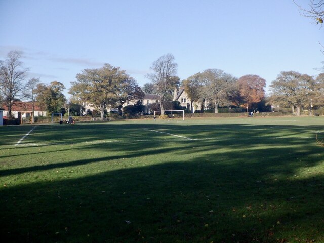
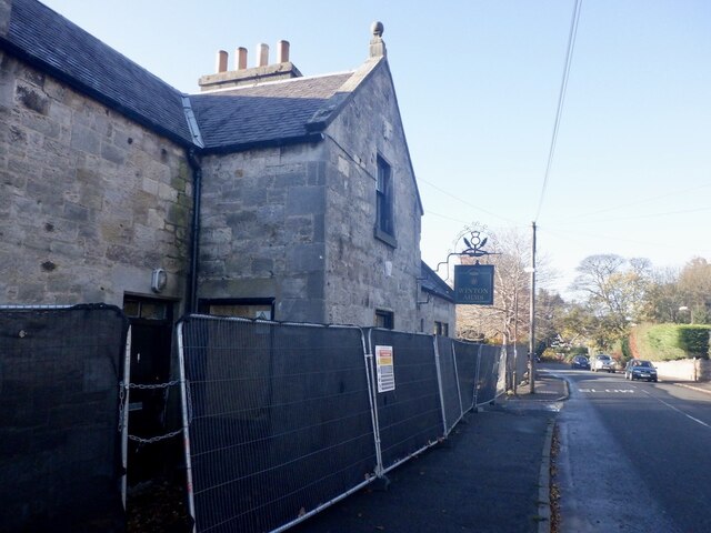
Pencaitland has a close-knit community and offers a range of amenities for residents and visitors. These include a primary school, village hall, post office, pub, and a small selection of shops. The village is also home to various sports clubs and community groups, providing opportunities for residents to socialize and stay active.

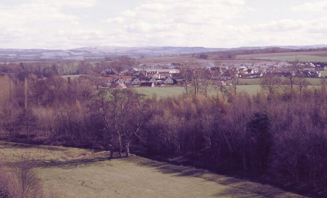
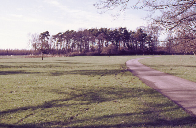
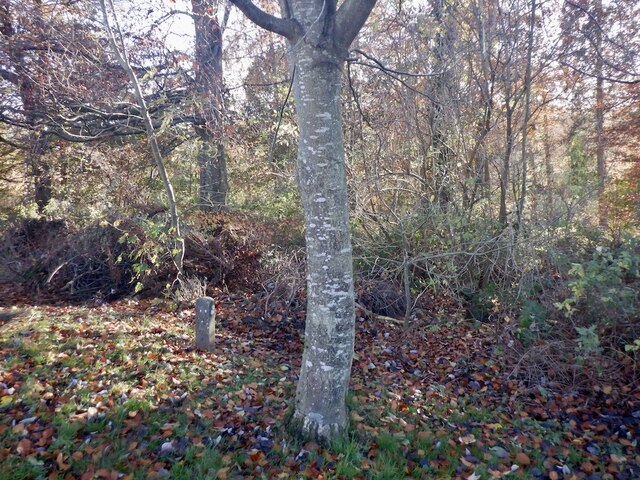
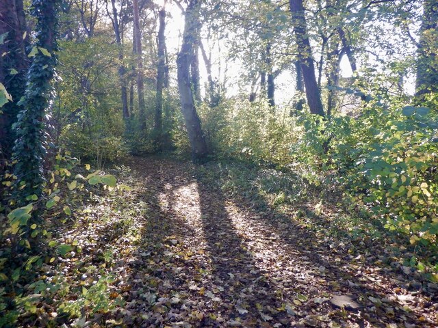
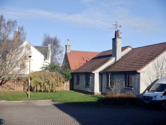
The surrounding area of Pencaitland is characterized by rolling farmland, woodlands, and rivers, making it an ideal destination for outdoor enthusiasts. The village is located near several walking and cycling trails, as well as opportunities for fishing and birdwatching.

Overall, Pencaitland offers a peaceful and scenic setting for those looking to escape the hustle and bustle of city life, while still being within easy reach of Edinburgh and other nearby towns.

If you have any feedback on the listing, please let us know in the comments section below.
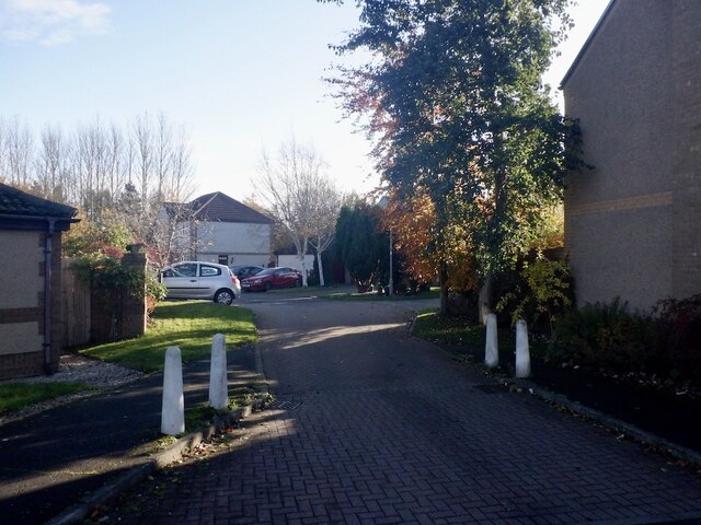
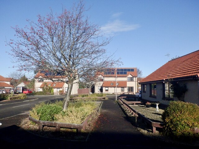
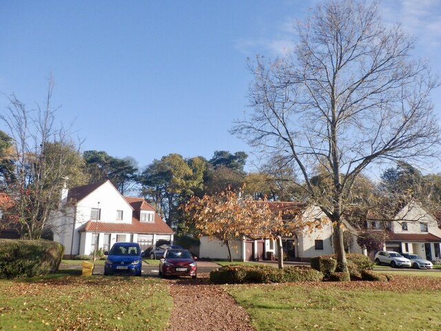
Pencaitland Images

Images are sourced within 2km of 55.901842/-2.8971916 or Grid Reference NT4468. Thanks to Geograph Open Source API. All images are credited.

Winton House Early 17th century house, with large additions about 1805. At the time the photograph was taken it was known as Winton House, but is now known as Winton Castle.
It is Category A listed <span class="nowrap"><a title="http://portal.historicenvironment.scot/designation/LB18948" rel="nofollow ugc noopener" href="http://portal.historicenvironment.scot/designation/LB18948">Link</a><img style="margin-left:2px;" alt="External link" title="External link - shift click to open in new window" src="https://s1.geograph.org.uk/img/external.png" width="10" height="10"/></span>.

Scanned from an AGFA colour transparency.
Winton House
Early 17th century house, with large additions about 1805. At the time the photograph was taken it was known as Winton House, but is now known as Winton Castle. It is Category A listed LinkExternal link. Scanned from an AGFA colour transparency.
Pencaitland Seen from Winton House.

Scanned from an AGFA colour transparency.
Pencaitland
Seen from Winton House. Scanned from an AGFA colour transparency.
Grass and woodland, Winton House The driveway leads from the house to the B6355.
Grass and woodland, Winton House
The driveway leads from the house to the B6355.
Winton House Early 17th century house, with large additions about 1805. At the time the photograph was taken it was known as Winton House, but is now known as Winton Castle.
It is Category A listed <span class="nowrap"><a title="http://portal.historicenvironment.scot/designation/LB18948" rel="nofollow ugc noopener" href="http://portal.historicenvironment.scot/designation/LB18948">Link</a><img style="margin-left:2px;" alt="External link" title="External link - shift click to open in new window" src="https://s1.geograph.org.uk/img/external.png" width="10" height="10"/></span>.

The garden ornament features a peacock.

Scanned from an AGFA colour transparency.
Winton House
Early 17th century house, with large additions about 1805. At the time the photograph was taken it was known as Winton House, but is now known as Winton Castle. It is Category A listed LinkExternal link. The garden ornament features a peacock. Scanned from an AGFA colour transparency.
Daffodil time At Winton House. The house dates from the early 17th century, with large additions about 1805. At the time the photograph was taken it was known as Winton House, but is now known as Winton Castle.
It is Category A listed <span class="nowrap"><a title="http://portal.historicenvironment.scot/designation/LB18948" rel="nofollow ugc noopener" href="http://portal.historicenvironment.scot/designation/LB18948">Link</a><img style="margin-left:2px;" alt="External link" title="External link - shift click to open in new window" src="https://s1.geograph.org.uk/img/external.png" width="10" height="10"/></span>.

Scanned from an AGFA colour transparency.
Daffodil time
At Winton House. The house dates from the early 17th century, with large additions about 1805. At the time the photograph was taken it was known as Winton House, but is now known as Winton Castle. It is Category A listed LinkExternal link. Scanned from an AGFA colour transparency.
An interesting tree Beside the drive approaching Wilton House. The house dates from the early 17th century, with large additions about 1805. At the time the photograph was taken it was known as Winton House, but is now known as Winton Castle.
It is Category A listed <span class="nowrap"><a title="http://portal.historicenvironment.scot/designation/LB18948" rel="nofollow ugc noopener" href="http://portal.historicenvironment.scot/designation/LB18948">Link</a><img style="margin-left:2px;" alt="External link" title="External link - shift click to open in new window" src="https://s1.geograph.org.uk/img/external.png" width="10" height="10"/></span>.

Scanned from an AGFA colour transparency.
An interesting tree
Beside the drive approaching Wilton House. The house dates from the early 17th century, with large additions about 1805. At the time the photograph was taken it was known as Winton House, but is now known as Winton Castle. It is Category A listed LinkExternal link. Scanned from an AGFA colour transparency.
Arthur McLeod Pavilion Changing facilities at the football pitch in Pencaitland.
Arthur McLeod Pavilion
Changing facilities at the football pitch in Pencaitland.
Cemetery, Pencaitland
Football pitch, Pencaitland
Vinefields, Pencaitland
Path, Vinefields Two streets which were intended to be dead ends have been linked by an informal path through the berberis.
Path, Vinefields
Two streets which were intended to be dead ends have been linked by an informal path through the berberis.
Woodland, Pencaitland Woodland along the Tyne upstream of Spilmersford.
Woodland, Pencaitland
Woodland along the Tyne upstream of Spilmersford.
Newish houses, Pencaitland 2000s built houses off Lime Kilns in Easter Pencaitland.
Newish houses, Pencaitland
2000s built houses off Lime Kilns in Easter Pencaitland.
Vinefields, Easter Pencaitland
Strip wood, Easter Pencaitland The wood predates the housing on former farmland on either side. There is now a path down it.
Strip wood, Easter Pencaitland
The wood predates the housing on former farmland on either side. There is now a path down it.
The Green, Pencaitland
Winton Arms, Pencaitland Undergoing some major building work. Unsure if this is a permanent closure or not at this time.
--
2023
Now open again
Winton Arms, Pencaitland
Undergoing some major building work. Unsure if this is a permanent closure or not at this time. -- 2023 Now open again
Woodhall Place, Wester Pencaitland
Show me another place!

Pencaitland is located at Grid Ref: NT4468 (Lat: 55.901842, Lng: -2.8971916)

Unitary Authority: East Lothian

Police Authority: The Lothians and Scottish Borders

What 3 Words

///funky.rewriting.shoebox. Near Pencaitland, East Lothian

Related Wikis

Pencaitland railway station

Pencaitland railway station served the village of Pencaitland, East Lothian, Scotland, from 1901 to 1933 on the Macmerry Branch. == History == The station...

Pencaitland

Pencaitland is a village in East Lothian, Scotland, about 12 miles (19 kilometres) south-east of Edinburgh, 5 mi (8 km) south-west of Haddington, and 1...

Glenkinchie distillery

Glenkinchie distillery is a Scotch single malt whisky distillery in East Lothian, Scotland. It is one of the six distilleries in the Lowland region. It...
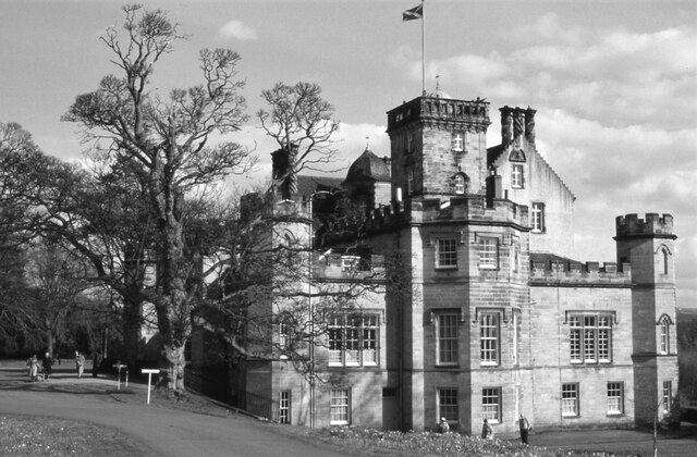
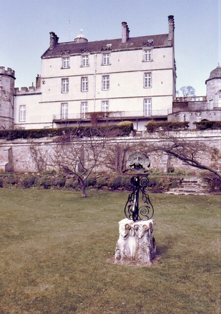
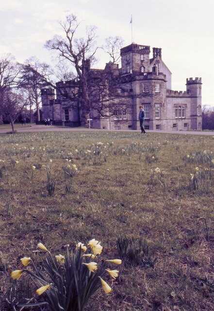
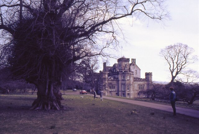
Winton Castle

Winton Castle is a historic building set in a large estate between Pencaitland and Tranent in East Lothian, Scotland. The castle is situated off the B6355...

Nearby Amenities

Located within 500m of 55.901842,-2.8971916
Man Made: gas_pipeline
Lat/Long: 55.9057899/-2.8979737
Barrier: stile
Lat/Long: 55.8982581/-2.9009005
Generator Method: photovoltaic
Generator Output Electricity: yes
Generator Source: solar
Generator Type: solar_photovoltaic_panel
Power: generator
Lat/Long: 55.9042192/-2.8930006
Generator Method: photovoltaic
Generator Output Electricity: yes
Generator Source: solar
Generator Type: solar_photovoltaic_panel
Power: generator
Lat/Long: 55.9041412/-2.8931088
Generator Method: photovoltaic
Generator Output Electricity: yes
Generator Source: solar
Generator Type: solar_photovoltaic_panel
Power: generator
Lat/Long: 55.9043127/-2.8929089
Generator Method: photovoltaic
Generator Output Electricity: yes
Generator Source: solar
Generator Type: solar_photovoltaic_panel
Power: generator
Lat/Long: 55.9041424/-2.8925687
Generator Method: photovoltaic
Generator Output Electricity: yes
Generator Source: solar
Generator Type: solar_photovoltaic_panel
Power: generator
Lat/Long: 55.9040749/-2.8923831
Generator Method: photovoltaic
Generator Output Electricity: yes
Generator Source: solar
Generator Type: solar_photovoltaic_panel
Power: generator
Lat/Long: 55.9039299/-2.8938055
Generator Method: photovoltaic
Generator Output Electricity: yes
Generator Source: solar
Generator Type: solar_photovoltaic_panel
Power: generator
Lat/Long: 55.9039968/-2.8939451
Generator Method: photovoltaic
Generator Output Electricity: yes
Generator Source: solar
Generator Type: solar_photovoltaic_panel
Power: generator
Lat/Long: 55.9040651/-2.8940948
Generator Method: photovoltaic
Generator Output Electricity: yes
Generator Source: solar
Generator Type: solar_photovoltaic_panel
Power: generator
Lat/Long: 55.9044392/-2.8921514
Generator Method: photovoltaic
Generator Output Electricity: yes
Generator Source: solar
Generator Type: solar_photovoltaic_panel
Power: generator
Lat/Long: 55.9043971/-2.8919813
Generator Method: photovoltaic
Generator Output Electricity: yes
Generator Source: solar
Generator Type: solar_photovoltaic_panel
Power: generator
Lat/Long: 55.9048528/-2.892454
Generator Method: photovoltaic
Generator Output Electricity: yes
Generator Source: solar
Generator Type: solar_photovoltaic_panel
Power: generator
Lat/Long: 55.9047463/-2.8925446
Generator Method: photovoltaic
Generator Output Electricity: yes
Generator Source: solar
Generator Type: solar_photovoltaic_panel
Power: generator
Lat/Long: 55.9046596/-2.8926241
Barrier: yes
Lat/Long: 55.9054998/-2.8944302
The data included in this document is from www.openstreetmap.org. The data is made available under ODbL.

Have you been to Pencaitland?

Leave your review of Pencaitland below (or comments, questions and feedback).