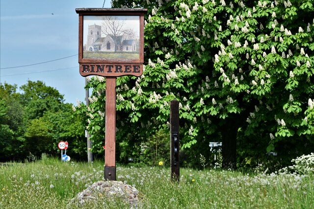
Bintree

Settlement in Norfolk Breckland

England

Bintree

Bintree: Cereal Crop
Bintree: Cereal Crop Credit: Michael Garlick

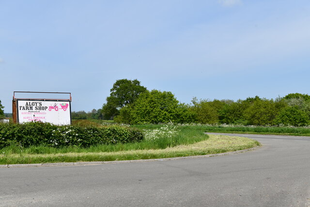
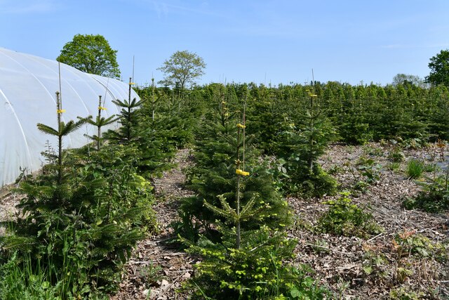
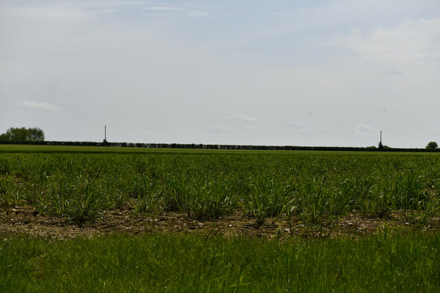
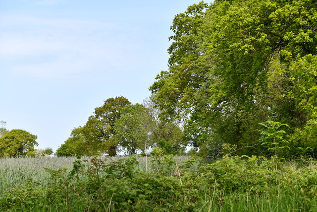
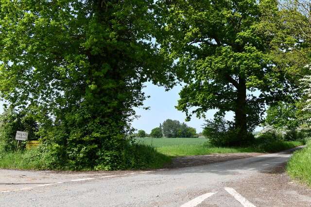
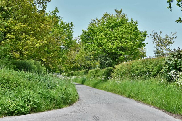
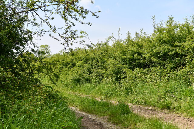
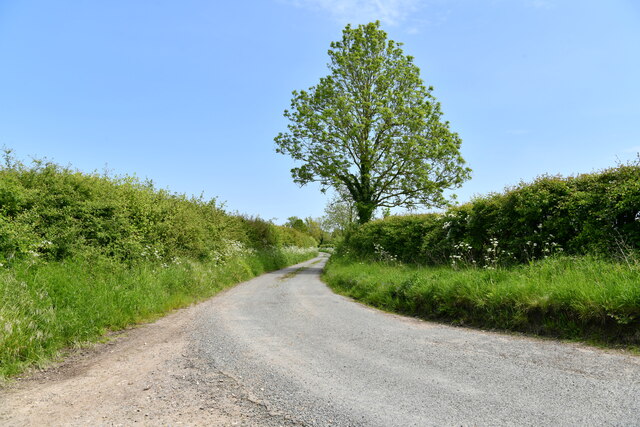
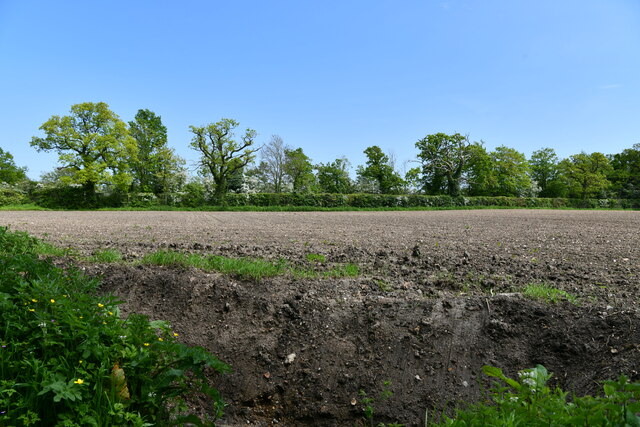
Bintree is a small village located in the county of Norfolk, England. Situated approximately 17 miles northwest of the city of Norwich, Bintree is part of the Breckland district. The village is surrounded by picturesque countryside, with rolling fields and farmland dominating the landscape.

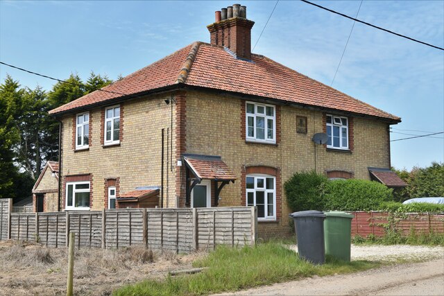
Bintree is a quintessential English village, known for its peace and tranquility. The village is home to a small, close-knit community, with a population of around 200 residents. The center of the village is characterized by traditional, well-maintained houses, many of which date back several centuries. The village church, St. Swithin’s, is an ancient building that adds to the historical charm of Bintree.

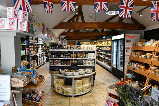
Despite its small size, Bintree has a strong sense of community spirit. The village hosts various events and activities throughout the year, including a summer fete, Christmas fair, and monthly farmers' market. These events provide residents with opportunities to socialize and promote a sense of unity within the community.

The surrounding area offers plenty of opportunities for outdoor activities, such as walking, cycling, and birdwatching. The nearby Bintree Woods, managed by the Norfolk Wildlife Trust, provide a haven for wildlife and offer nature enthusiasts a chance to explore diverse habitats.

Although Bintree may be considered remote by some, it benefits from its proximity to larger towns and cities. The village is well-connected by road, making it accessible to nearby amenities and services. Overall, Bintree offers a peaceful and idyllic lifestyle, making it an attractive place to live for those seeking a rural retreat in Norfolk.

If you have any feedback on the listing, please let us know in the comments section below.
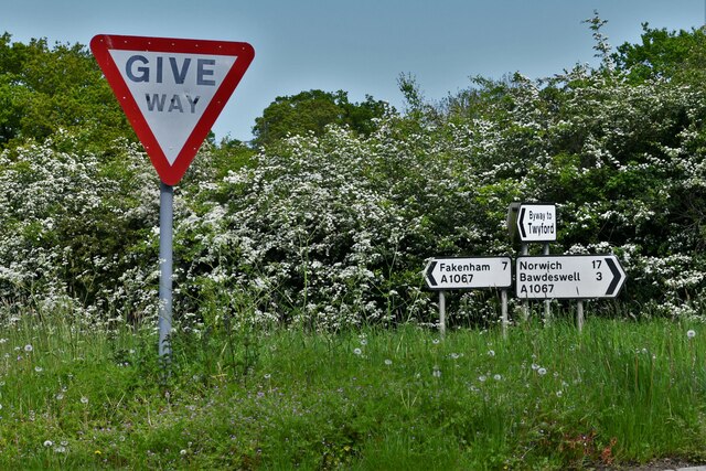
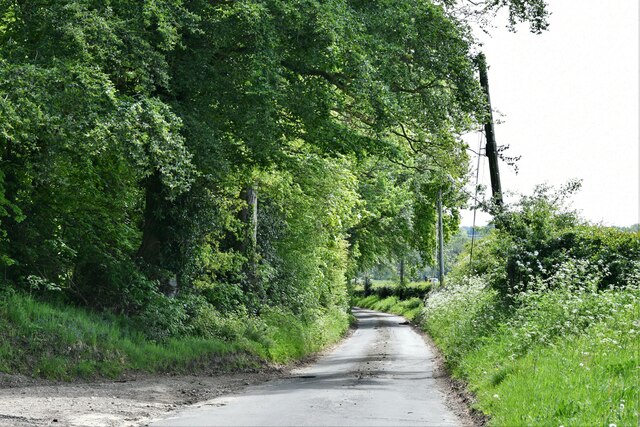
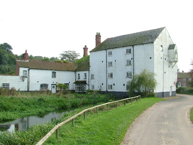
Bintree Images

Images are sourced within 2km of 52.772473/0.992204 or Grid Reference TG0123. Thanks to Geograph Open Source API. All images are credited.

Bintree: Cereal Crop
Bintree: Water tower
Bintree: Billingford Road, Fakenham Road junction
Bintree, Algy's Farm Shop: 'Christmas tree' plantation
Bintree: Algy's Farm Shop
Bintree: Crop
Bintree: Crop
Bintree Village Sign
Billingford: Private farm track
Billingford: Reed canary grass crop for use as a biofuel
Bintree: Yarrow Road, Field Barn Lane junction
Bintree: Field Barn Buildings
Bintree: 14 and 15, Field Barn Cottages
Bintree: Mill Road
Bintree: Mill Road
Bintree: Farm track leading from Stone Lane
Bintree: Stone Lane
Bintree: Stone Lane
Twyford: Ploughed field
Twyford: Road signs
Twyford: Road signs
Twyford: Wood Norton Road
Show me another place!

Bintree is located at Grid Ref: TG0123 (Lat: 52.772473, Lng: 0.992204)

Administrative County: Norfolk

District: Breckland

Police Authority: Norfolk

What 3 Words

///thinker.pigtails.salad. Near Foulsham, Norfolk

Nearby Locations

Bintree

Related Wikis

Nearby Amenities

Located within 500m of 52.772473,0.992204
Royal Oak, adj
Naptan AtcoCode: 2900B292
Naptan Bearing: N
Naptan BusStopType: CUS
Naptan CommonName: Royal Oak
Naptan Indicator: adj
Naptan Landmark: public house
Naptan Locality: Bintree
Naptan NaptanCode: nfoadwma
Naptan ShortCommonName: Royal Oak
Naptan Street: The Street
Naptan Verified: no
Source: naptan_import
Lat/Long: 52.7731863/0.9923319
Royal Oak, opp
Naptan AtcoCode: 2900B293
Naptan Bearing: S
Naptan BusStopType: CUS
Naptan CommonName: Royal Oak
Naptan Indicator: opp
Naptan Landmark: public house
Naptan Locality: Bintree
Naptan NaptanCode: nfoadwmd
Naptan ShortCommonName: Royal Oak
Naptan Street: The Street
Naptan Verified: no
Source: naptan_import
Lat/Long: 52.7726387/0.9922943
Foulsham Road, adj
Naptan AtcoCode: 2900B294
Naptan Bearing: SE
Naptan BusStopType: CUS
Naptan CommonName: Foulsham Road
Naptan Indicator: adj
Naptan Landmark: Foulsham Road
Naptan Locality: Bintree
Naptan NaptanCode: nfogpgpg
Naptan ShortCommonName: Foulsham Rd
Naptan Street: A1067
Naptan Verified: no
Source: naptan_import
Lat/Long: 52.773744/0.9933934
Foulsham Road, opp
Naptan AtcoCode: 2900B295
Naptan Bearing: NW
Naptan BusStopType: CUS
Naptan CommonName: Foulsham Road
Naptan Indicator: opp
Naptan Landmark: Foulsham Road
Naptan Locality: Bintree
Naptan NaptanCode: nfogpgpj
Naptan ShortCommonName: Foulsham Rd
Naptan Street: A1067
Naptan Verified: no
Source: naptan_import
Lat/Long: 52.7735806/0.9931004
Bus Stop
village hall, opp
Naptan AtcoCode: 2900B296
Naptan Bearing: SW
Naptan BusStopType: CUS
Naptan CommonName: village hall
Naptan Indicator: opp
Naptan Locality: Bintree
Naptan NaptanCode: nfogpmat
Naptan Street: Foulsham Road
Source: naptan_import;survey
Lat/Long: 52.7741043/0.993598
village hall, adj
Naptan AtcoCode: 2900B297
Naptan Bearing: NE
Naptan BusStopType: CUS
Naptan CommonName: village hall
Naptan Indicator: adj
Naptan Locality: Bintree
Naptan NaptanCode: nfogpmaw
Naptan Street: Foulsham Road
Naptan Verified: no
Source: naptan_import
Lat/Long: 52.7742471/0.9936409
Bintree
Place: village
Lat/Long: 52.7716518/0.9908253
Crossing
Crossing: unmarked
Crossing Island: no
Tactile Paving: no
Lat/Long: 52.7740732/0.9934472
Entrance: main
Lat/Long: 52.7708552/0.9886567
Bintree
Man Made: village_sign
Material: wood
Lat/Long: 52.7737393/0.9926578
Crossing
Crossing: unmarked
Crossing Island: yes
Tactile Paving: no
Lat/Long: 52.774141/0.9929533
Post Box
Collection Times: Mo-Fr 16:00; Sa 08:30
Operator: Royal Mail
Post Box Mounting: telegraph_pole
Post Box Type: lamp
Ref: NR20 2055
Royal Cypher: EIIR
Royal Cypher Wikidata: Q33102113
Lat/Long: 52.7737748/0.9924875
Barrier: kissing_gate
Lat/Long: 52.7726936/0.9885433
Fixme: incomplete
Lat/Long: 52.7727952/0.9884712
Royal Oak
Capacity: 5
Phone: +44 1362683326
Tourism: caravan_site
Lat/Long: 52.7731132/0.9914678
Give Way
Lat/Long: 52.7706379/0.9883378
Give Way
Lat/Long: 52.7705652/0.988193
Entrance: yes
Lat/Long: 52.7709619/0.9886582
Give Way
Lat/Long: 52.7682056/0.9913447
Power: pole
Lat/Long: 52.7744301/0.9945604
Power: pole
Lat/Long: 52.774383/0.9937397
Power: pole
Lat/Long: 52.7753663/0.9923087
Power: pole
Lat/Long: 52.7744236/0.9933668
Give Way
Lat/Long: 52.7746135/0.9925796
Post Office
Bintree Post Office
Addr City: Dereham
Addr Housename: St Swithins Church
Addr Postcode: NR20 5NJ
Addr Street: Church Lane
Addr Village: Bintree
Brand: Post Office
Brand Wikidata: Q1783168
Fixme: check location in church
Opening Hours: We 08:30-10:30; Fr 12:30-14:30
Ref Pol Id: 124879
Source: pol_branch_list_2018-01
Lat/Long: 52.7708923/0.9886281
Power: pole
Lat/Long: 52.7753127/0.9917052
Power: pole
Lat/Long: 52.7749753/0.9903198
Power: pole
Lat/Long: 52.774628/0.9889358
Power: pole
Lat/Long: 52.7736317/0.9888875
Power: pole
Lat/Long: 52.7701932/0.992353
Power: pole
Transformer: distribution
Lat/Long: 52.7696204/0.9909528
Power: pole
Lat/Long: 52.7687554/0.9897391
Power: pole
Lat/Long: 52.7683075/0.9896922
Power: pole
Lat/Long: 52.769338/0.9897941
Power: pole
Lat/Long: 52.7696333/0.9892684
Power: pole
Transformer: distribution
Lat/Long: 52.7726987/0.988673
Power: pole
Lat/Long: 52.7719831/0.9881178
Power: pole
Lat/Long: 52.7703409/0.987989
Power: pole
Transformer: distribution
Lat/Long: 52.7712553/0.9883203
Give Way
Lat/Long: 52.7725829/0.9889997
Give Way
Lat/Long: 52.7706606/0.9889416
Power: pole
Lat/Long: 52.7760161/0.9919265
Power: pole
Lat/Long: 52.7766749/0.9915
Give Way
Lat/Long: 52.7739368/0.9931898
Addr City: Bintree
Addr Housename: The Poplars
Addr Postcode: NR20 5NF
Addr Street: Church Road
Fixme: Searching this postcode takes you to the wrong village a few miles away
Lat/Long: 52.7706122/0.990602
Give Way
Lat/Long: 52.7725559/0.9921478
The data included in this document is from www.openstreetmap.org. The data is made available under ODbL.

Have you been to Bintree?

Leave your review of Bintree below (or comments, questions and feedback).