Binniehill
Settlement in Stirlingshire
Scotland
Binniehill

Binniehill is a small village located in the county of Stirlingshire, Scotland. Situated approximately 8 miles northeast of the town of Falkirk, Binniehill lies within the Falkirk Council area. The village is nestled amidst picturesque countryside and offers residents a tranquil and peaceful setting.
Binniehill boasts a rich history, with evidence of human settlement dating back to ancient times. In the surrounding area, archaeological discoveries have revealed traces of Iron Age settlements and Roman forts, highlighting the village's historical significance.
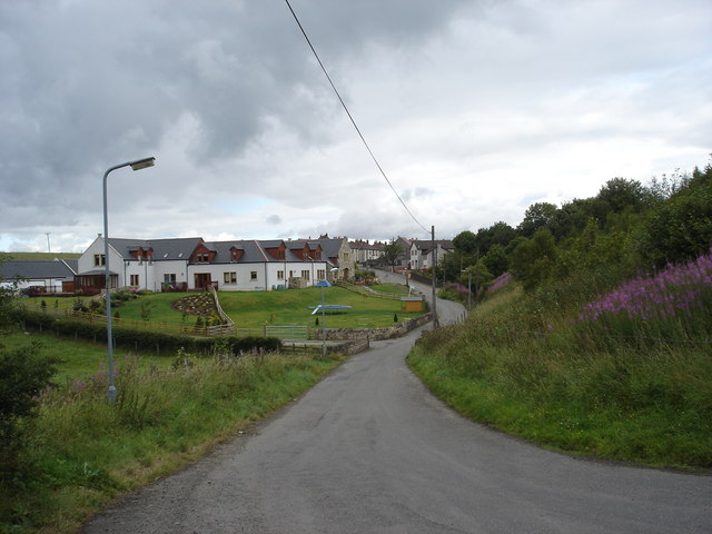
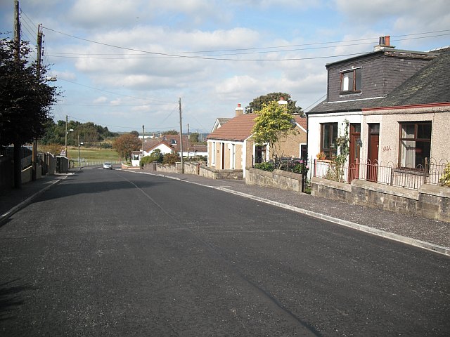
Today, Binniehill is a close-knit community with a small population. The village is primarily residential, consisting of traditional stone-built houses and cottages that add to its charm. The stunning landscape surrounding Binniehill provides ample opportunities for outdoor activities, including walking, cycling, and exploring the nearby nature reserves.
Despite its rural setting, Binniehill benefits from excellent transport links. The M9 motorway, a major road artery connecting Edinburgh and Stirling, lies just a short distance away, ensuring easy access to nearby towns and cities. Additionally, the village is served by regular bus services and is within commuting distance of Falkirk and Stirling.
While Binniehill may not offer extensive amenities within its boundaries, the nearby town of Falkirk provides residents with a range of facilities such as supermarkets, shops, and leisure centers. Falkirk is also home to landmarks like the Falkirk Wheel and the Kelpies, attracting visitors from far and wide.
In summary, Binniehill is a charming village that offers residents a peaceful countryside lifestyle while being within easy reach of larger towns and cities. With its rich history and beautiful surroundings, the village provides a delightful place to call home.
If you have any feedback on the listing, please let us know in the comments section below.
Binniehill Images
Images are sourced within 2km of 55.930752/-3.832016 or Grid Reference NS8572. Thanks to Geograph Open Source API. All images are credited.


Binniehill is located at Grid Ref: NS8572 (Lat: 55.930752, Lng: -3.832016)
Unitary Authority: Falkirk
Police Authority: Forth Valley
What 3 Words
///detriment.apron.differ. Near Slamannan, Falkirk
Nearby Locations
Related Wikis
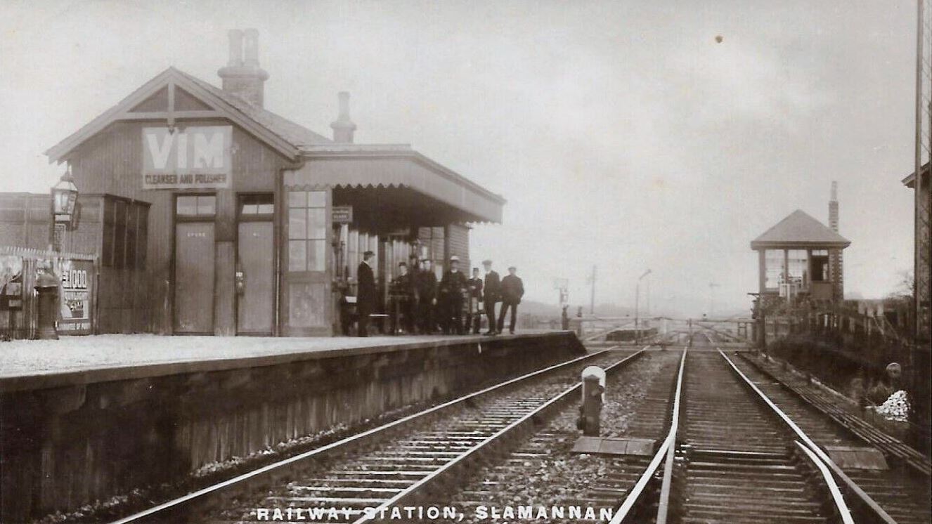
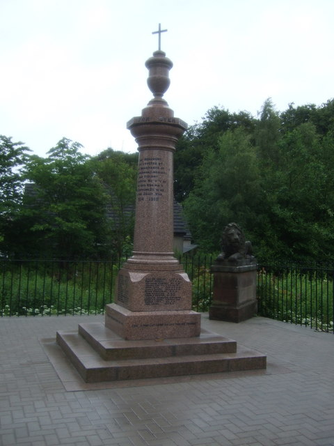
Slamannan railway station
Slamannan railway station served the village of Slamannan, Falkirk, Scotland, from 1840 to 1930 on the Slamannan Railway. == History == The station was...
Binniehill
Binniehill is a village in Falkirk, Scotland. The name is a tautology, with "binnie" coming from Scottish Gaelic "binnean" meaning a small hill. ��2�...

Slamannan
Slamannan (Scottish Gaelic: Sliabh Mhanainn) is a village in the south of the Falkirk council area in Central Scotland. It is 4.6 miles (7.4 km) south...
Limerigg
Limerigg is a village in the Falkirk council area of Scotland. It lies on the B825 road between Slamannan and Caldercruix surrounded by extensive woodlands...
Nearby Amenities
Located within 500m of 55.930752,-3.832016Have you been to Binniehill?
Leave your review of Binniehill below (or comments, questions and feedback).