Peasmarsh

Settlement in Sussex Rother

England

Peasmarsh

Flackley Ash Hotel Near Peasmarsh
Flackley Ash Hotel Credit: Chris Shaw

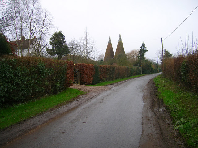
Peasmarsh is a small village located in the county of East Sussex, in the southeastern region of England. Situated approximately three miles north of the historic town of Rye, Peasmarsh is nestled amidst the picturesque countryside of the High Weald Area of Outstanding Natural Beauty.

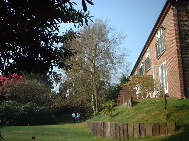
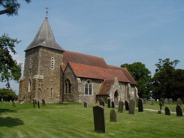
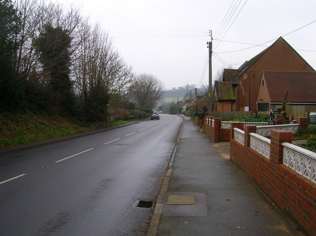
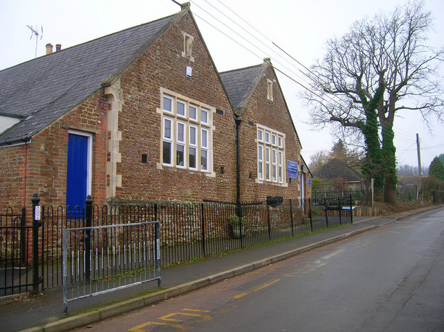
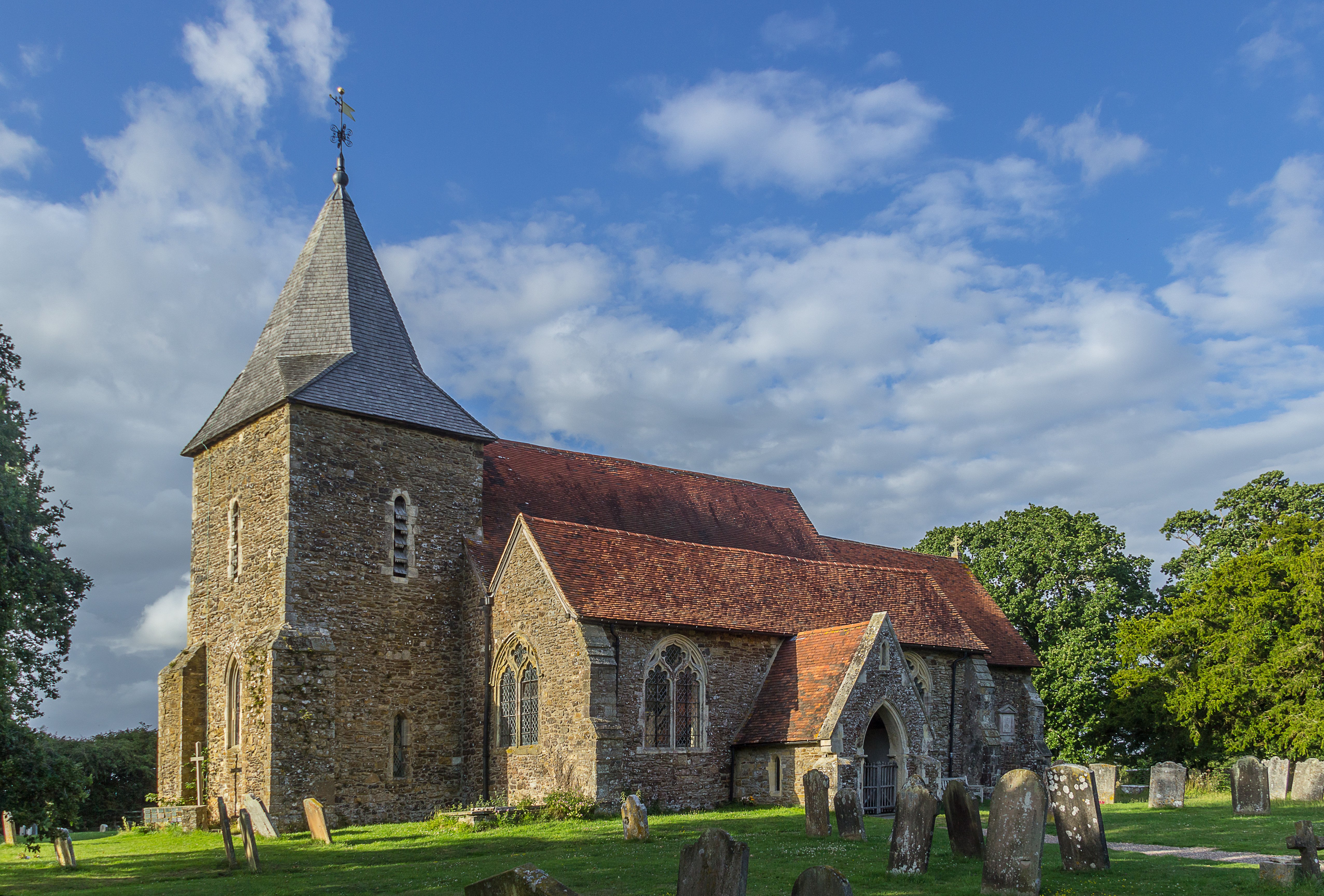
With a population of around 1,200 residents, Peasmarsh exudes a tranquil and rural charm. The village is characterized by its traditional English architecture, with many historic buildings and cottages lining its streets. The centerpiece of Peasmarsh is its 13th-century parish church, St. Peter and St. Paul, which stands as a testament to the village's rich history.

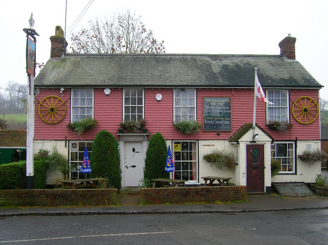
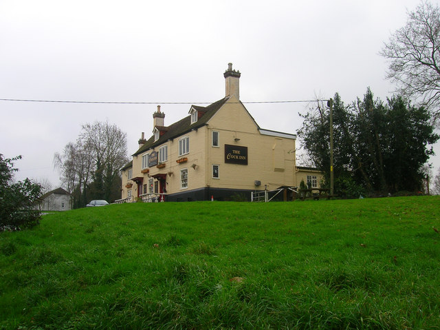
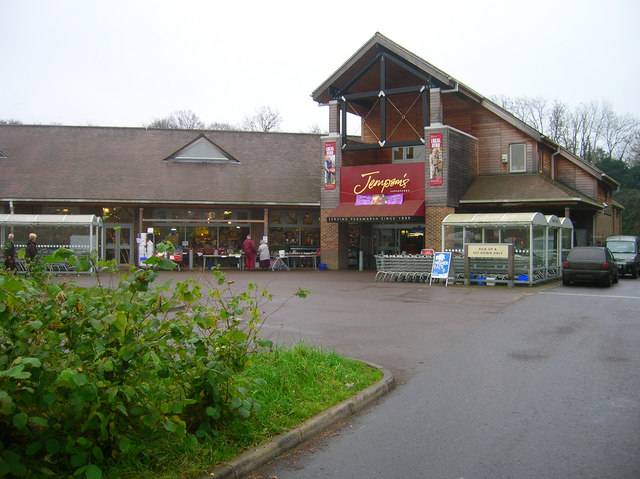
Peasmarsh boasts a strong sense of community, with several local amenities catering to the needs of its residents. These include a primary school, a village hall, a post office, and a well-stocked local shop. The village also benefits from a thriving pub, The Horse & Cart, which serves as a popular gathering spot for locals and visitors alike.

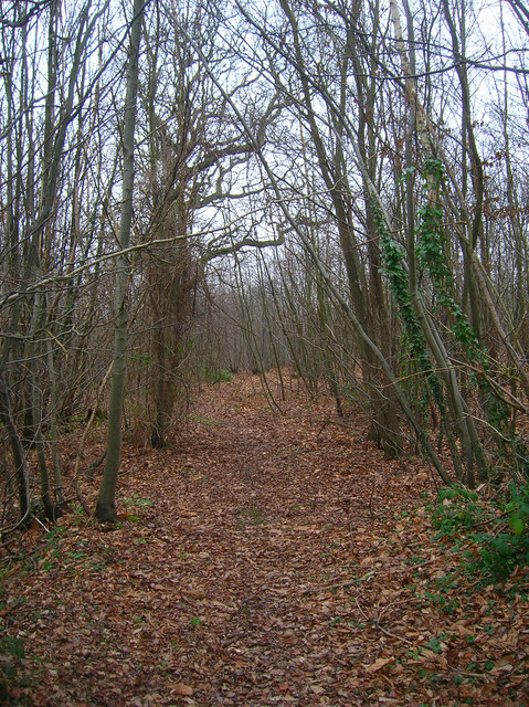
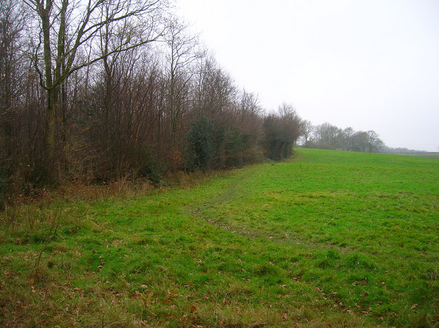
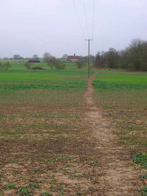
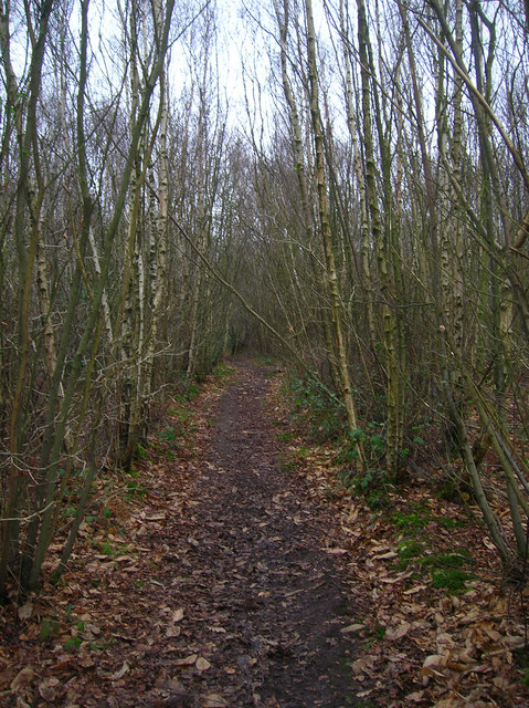
Surrounded by idyllic countryside, Peasmarsh offers ample opportunities for outdoor activities. The nearby Rye Harbour Nature Reserve and Camber Sands provide stunning coastal landscapes, while the surrounding woodlands and fields offer scenic walking and cycling routes. The village's proximity to Rye also means residents can easily access a range of amenities, including shops, restaurants, and cultural attractions.

Peasmarsh is a charming and peaceful village, perfect for those seeking a quiet and picturesque place to reside or visit in the heart of the Sussex countryside.

If you have any feedback on the listing, please let us know in the comments section below.
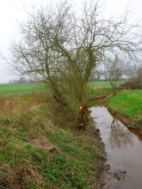
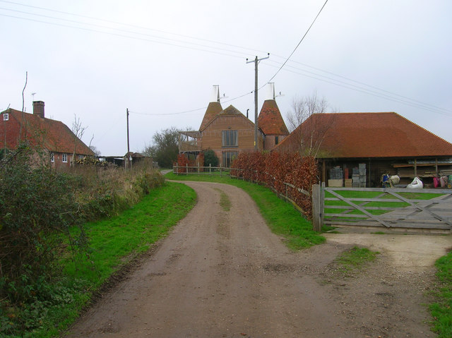
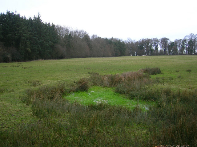
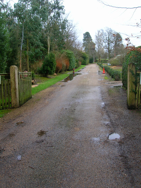
Peasmarsh Images

Images are sourced within 2km of 50.973494/0.68815678 or Grid Reference TQ8822. Thanks to Geograph Open Source API. All images are credited.

Flackley Ash Hotel Near Peasmarsh
Flackley Ash Hotel
Near Peasmarsh
Church of St Peter and St Paul, Peasmarsh
Orchard, Stream Farm Taken from the A268 Rye Road near Peasmarsh.
Orchard, Stream Farm
Taken from the A268 Rye Road near Peasmarsh.
Morley Wood On the southern side of Rye Road.
Morley Wood
On the southern side of Rye Road.
Horse and Cart Inn, School Lane, Peasmarsh Situated at the eastern end of the village.
Horse and Cart Inn, School Lane, Peasmarsh
Situated at the eastern end of the village.
Main Street, Peasmarsh This is the main A286 from Rye. The village itself is some distance from its church which suggests that the population may have moved to another site during the Black Death. The most famous current resident is Paul McCartney who has a country estate to the south of the village. Past famous residents include the Liddell family whose daughter Alice was subject to a couple of books by Lewis Carroll. The big building to the right is Griffin Hall, a church.
Main Street, Peasmarsh
This is the main A286 from Rye. The village itself is some distance from its church which suggests that the population may have moved to another site during the Black Death. The most famous current resident is Paul McCartney who has a country estate to the south of the village. Past famous residents include the Liddell family whose daughter Alice was subject to a couple of books by Lewis Carroll. The big building to the right is Griffin Hall, a church.
Peasmarsh C of E Primary School Based in School Lane just off the main road.
Peasmarsh C of E Primary School
Based in School Lane just off the main road.
Cock Wood, Peasmarsh South of the village on the footpath that links School Lane with Tanhouse Lane. There are two Cock Woods in the vicinity the other is to the north of the village.
Cock Wood, Peasmarsh
South of the village on the footpath that links School Lane with Tanhouse Lane. There are two Cock Woods in the vicinity the other is to the north of the village.
Oasthouses, Tanhouse Lane, Peasmarsh The old tanhouse is the white building hidden behind the hedges.
Oasthouses, Tanhouse Lane, Peasmarsh
The old tanhouse is the white building hidden behind the hedges.
The Cock Inn, Main Street, Peasmarsh One of two inns in the village. This one is on the western side.
The Cock Inn, Main Street, Peasmarsh
One of two inns in the village. This one is on the western side.
Jempson's Superstore, Peasmarsh Independent supermarket which began life in the village as a small bakery in 1935. Today they have a few branches in Rye and Battle and have recently converted their old store into a modern supermarket whilst retaining some of the services of an old general stores.
Jempson's Superstore, Peasmarsh
Independent supermarket which began life in the village as a small bakery in 1935. Today they have a few branches in Rye and Battle and have recently converted their old store into a modern supermarket whilst retaining some of the services of an old general stores.
Footpath to Forstal Farm Taken from the junction of the footpath that leads down to the Rother Levels.
Footpath to Forstal Farm
Taken from the junction of the footpath that leads down to the Rother Levels.
Malthouse Wood Following the footpath from Peasmarsh to Old House Farm.
Malthouse Wood
Following the footpath from Peasmarsh to Old House Farm.
Woodside Stream Tributary of the Rother that rises in Peasmarsh Park. Taken from the footbridge that spans the stream.
Woodside Stream
Tributary of the Rother that rises in Peasmarsh Park. Taken from the footbridge that spans the stream.
Field near Moat Farm The land on the horizon is the Isle of Oxney.
Field near Moat Farm
The land on the horizon is the Isle of Oxney.
Moat Farm near Iden In the south east corner of the square where the bridleway turns 90 degrees.
Moat Farm near Iden
In the south east corner of the square where the bridleway turns 90 degrees.
Morebread Wood Boggy ground and pasture opposite Button's Farmhouse.
Morebread Wood
Boggy ground and pasture opposite Button's Farmhouse.
Water Tower, Peasmarsh Place In the grounds of Peasmarsh Place otherwise I'd have investigated closer. There is a tower marked on the map so I'm assuming this is it.
Water Tower, Peasmarsh Place
In the grounds of Peasmarsh Place otherwise I'd have investigated closer. There is a tower marked on the map so I'm assuming this is it.
Show me another place!

Peasmarsh is located at Grid Ref: TQ8822 (Lat: 50.973494, Lng: 0.68815678)

Administrative County: East Sussex

District: Rother

Police Authority: Sussex

What 3 Words

///deaf.video.procures. Near Rye, East Sussex

Related Wikis

Peasmarsh

Peasmarsh is a village and civil parish in the Rother district, in the county of East Sussex in England. It is located on the A268 road between Rye and...

Rye Foreign

Rye Foreign is a small hamlet and civil parish in the Rother district of East Sussex, England. The hamlet is about 2 miles (or 3 km) north-west of Rye...

Leasam Heronry Wood

Leasam Heronry Wood is a 2.1-hectare (5.2-acre) biological Site of Special Scientific Interest north-west of Rye in East Sussex.This wood is not long established...

Flatropers Wood

Flatropers Wood is a 38-hectare (94-acre) nature reserve in Rye in East Sussex. It is managed by the Sussex Wildlife Trust.The wood is mainly oak and...

Iden, East Sussex

Iden is a village and civil parish in the Rother district of East Sussex, England. The village is located two miles (3.2 km) north of Rye. Iden 12th/13th...

Playden

Playden is a village and civil parish in the Rother district of East Sussex, England. The village is located one mile (1.6 km) north-west of Rye. ��2...

Rye Studio School

Rye Studio School was a mixed studio school located in Rye, East Sussex, England. It opened in 2013 and catered for students aged 14–19 years. It was located...

Rye College

Rye College, formerly known as Thomas Peacocke Community College, is a coeducational secondary school with academy status, located in Rye, East Sussex...

Nearby Amenities

Located within 500m of 50.973494,0.68815678
Peasmarsh
Is In: East Sussex, UK
Place: village
Lat/Long: 50.9727875/0.6906618
Pub
The Cock Inn
Addr County: East Sussex
Addr Postcode: TN31 6YD
Addr Street: Main Street
Addr Village: Peasmarsh
Fhrs Id: 764896
Source Addr: FHRS Open Data
Wikidata: Q26512061
Lat/Long: 50.975445/0.6837185
The Cock Inn
Tourism: caravan_site
Lat/Long: 50.9750847/0.6835631
Traffic Calming: island
Lat/Long: 50.971639/0.6905497
Pub
Horse and Cart
Addr County: East Sussex
Addr Postcode: TN31 6UW
Addr Street: School Lane
Addr Village: Peasmarsh
Fhrs Id: 758609
Source: survey
Source Addr: FHRS Open Data
Wikidata: Q26512069
Lat/Long: 50.9707222/0.6917201
Turning Circle
Lat/Long: 50.9735462/0.6894962
Power: pole
Lat/Long: 50.969955/0.6874345
Power: pole
Lat/Long: 50.9699695/0.6890213
Power: pole
Lat/Long: 50.9699905/0.6922543
Power: pole
Lat/Long: 50.969945/0.6858099
Power: pole
Lat/Long: 50.9699822/0.6907343
Power: pole
Lat/Long: 50.9699253/0.683955
Post Office
Jempsons Superstore
Brand: Post Office
Brand Wikidata: Q1783168
Opening Hours: Mo-Th,Sa 07:00-19:00; Fr 07:00-20:00; Su off
Lat/Long: 50.9746045/0.681804
Tourism: camp_site
Lat/Long: 50.9756219/0.6835064
Bus Stop
Bus: yes
Public Transport: platform
Shelter: yes
Lat/Long: 50.9744144/0.6873724
Generator Method: photovoltaic
Generator Output Electricity: yes
Generator Source: solar
Generator Type: solar_photovoltaic_panel
Location: roof
Power: generator
Lat/Long: 50.9743457/0.68881
Generator Method: photovoltaic
Generator Output Electricity: yes
Generator Source: solar
Generator Type: solar_photovoltaic_panel
Location: roof
Power: generator
Lat/Long: 50.9720875/0.6922084
Generator Method: photovoltaic
Generator Output Electricity: yes
Generator Source: solar
Generator Type: solar_photovoltaic_panel
Location: roof
Power: generator
Lat/Long: 50.972085/0.6922379
Generator Method: photovoltaic
Generator Output Electricity: yes
Generator Source: solar
Generator Type: solar_photovoltaic_panel
Location: roof
Power: generator
Lat/Long: 50.971216/0.6862539
Generator Method: photovoltaic
Generator Output Electricity: yes
Generator Source: solar
Generator Type: solar_photovoltaic_panel
Location: roof
Power: generator
Lat/Long: 50.9710201/0.6912281
The data included in this document is from www.openstreetmap.org. The data is made available under ODbL.

Have you been to Peasmarsh?

Leave your review of Peasmarsh below (or comments, questions and feedback).