Peas Acre
Settlement in Yorkshire
England
Peas Acre
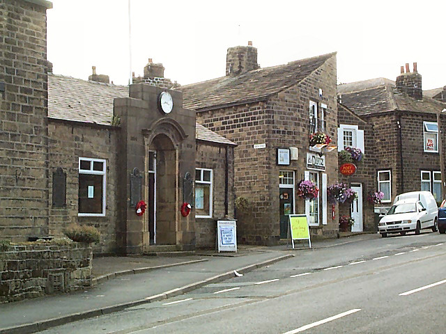
Peas Acre is a small village located in the picturesque county of Yorkshire, England. Situated amidst rolling hills and lush green fields, this charming village is known for its idyllic countryside and peaceful atmosphere. With a population of approximately 500 residents, Peas Acre offers a close-knit community that is proud of its rural heritage.
The village is characterized by its traditional architecture, featuring quaint cottages and stone buildings that reflect its rich history. The centerpiece of Peas Acre is its historic church, St. Mary's, which dates back to the 12th century and stands as a testament to the village's deep-rooted roots.
Surrounded by nature, Peas Acre boasts an abundance of scenic walking and hiking trails, making it a haven for outdoor enthusiasts. The village is also dotted with several small streams and ponds, providing a tranquil setting for leisurely strolls and picnics.
Peas Acre is renowned for its agricultural heritage, with farming playing a significant role in the local economy. The fertile land in the area is primarily used for cultivating crops such as peas, hence the village's name. The annual Peas Acre Agricultural Fair celebrates the village's farming traditions, attracting visitors from near and far.
Despite its rural setting, Peas Acre is well-connected to neighboring towns and cities. It offers a range of amenities including a local pub, a primary school, and a post office, ensuring that residents have access to essential services without having to travel far.
In summary, Peas Acre is a charming village that exudes the essence of rural Yorkshire. With its stunning landscapes, rich history, and strong sense of community, it is a place that offers a peaceful retreat from the hustle and bustle of modern life.
If you have any feedback on the listing, please let us know in the comments section below.
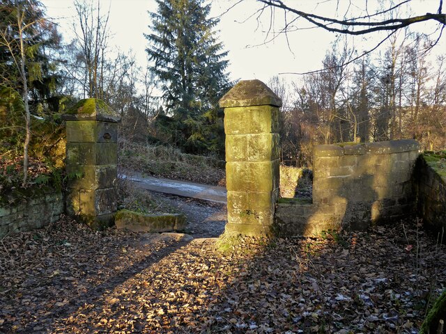
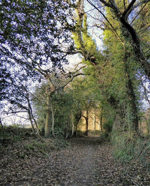
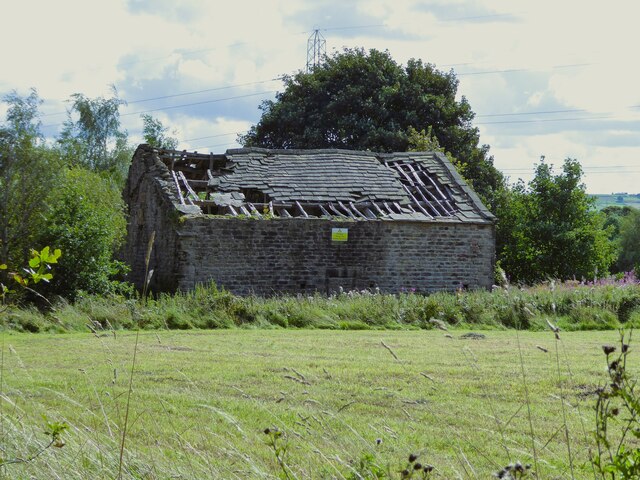
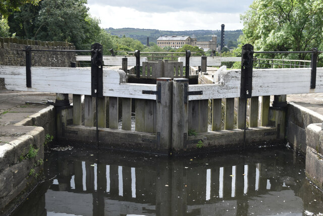
Peas Acre Images
Images are sourced within 2km of 53.865121/-1.8494232 or Grid Reference SE1041. Thanks to Geograph Open Source API. All images are credited.


Peas Acre is located at Grid Ref: SE1041 (Lat: 53.865121, Lng: -1.8494232)
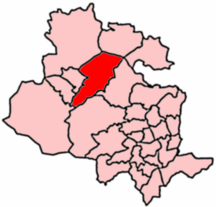
Division: West Riding
Unitary Authority: Bradford
Police Authority: West Yorkshire
What 3 Words
///coast.committee.example. Near Bingley, West Yorkshire
Nearby Locations
Related Wikis

Crossflatts
Crossflatts is a ribbon development in Airedale along the old route of the A650 road between Bingley and Keighley, in the Metropolitan Borough of Bradford...

Crossflatts railway station
Crossflatts railway station serves the Crossflatts area of Bingley, north of Bradford in West Yorkshire, England. The station is on the Airedale Line...
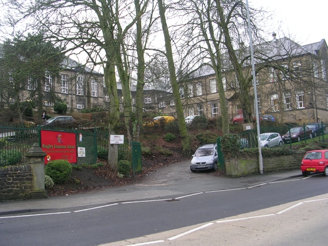
Bingley Grammar School
Bingley Grammar School (BGS) is a Voluntary aided school for students from the ages of 11–18 and is located on the outskirts of Bingley, West Yorkshire...
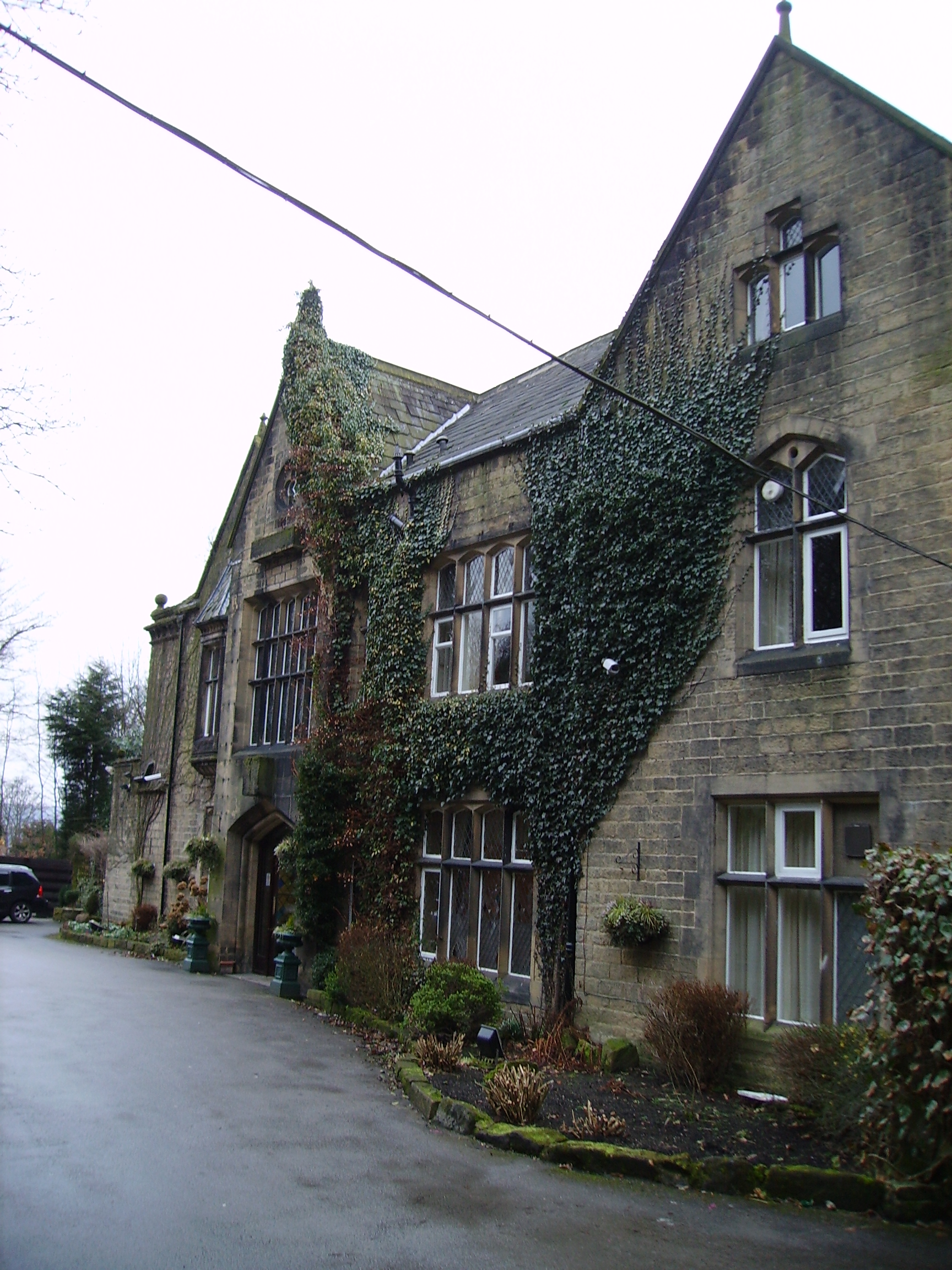
Oakwood Hall
Oakwood Hall, Bingley, West Yorkshire, England is a 19th-century mansion with interior fittings by the Victorian architect William Burges. The hall was...

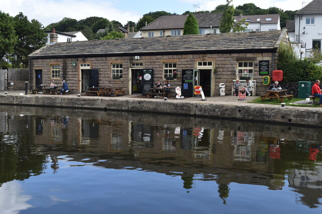
Bingley Five Rise Locks
Bingley Five-Rise Locks is a staircase lock on the Leeds and Liverpool Canal at Bingley (grid reference SE107399). As the name implies, a boat passing...
East Morton
East Morton is a small village which lies 2 miles (3 km) north of Bingley and 2.5 miles (4 km) east of Keighley, in the county of West Yorkshire, England...
Keighley East
Keighley East (population 14,929 - 2001 UK census) is a ward within the City of Bradford Metropolitan District Council in the county of West Yorkshire...

Old White Horse Inn
The Old White Horse Inn in Bingley, West Yorkshire, England, is one of the oldest buildings still in use in the town. It was originally constructed as...
Nearby Amenities
Located within 500m of 53.865121,-1.8494232Have you been to Peas Acre?
Leave your review of Peas Acre below (or comments, questions and feedback).