Peartree Green

Settlement in Surrey Waverley

England

Peartree Green

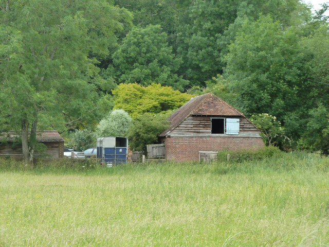
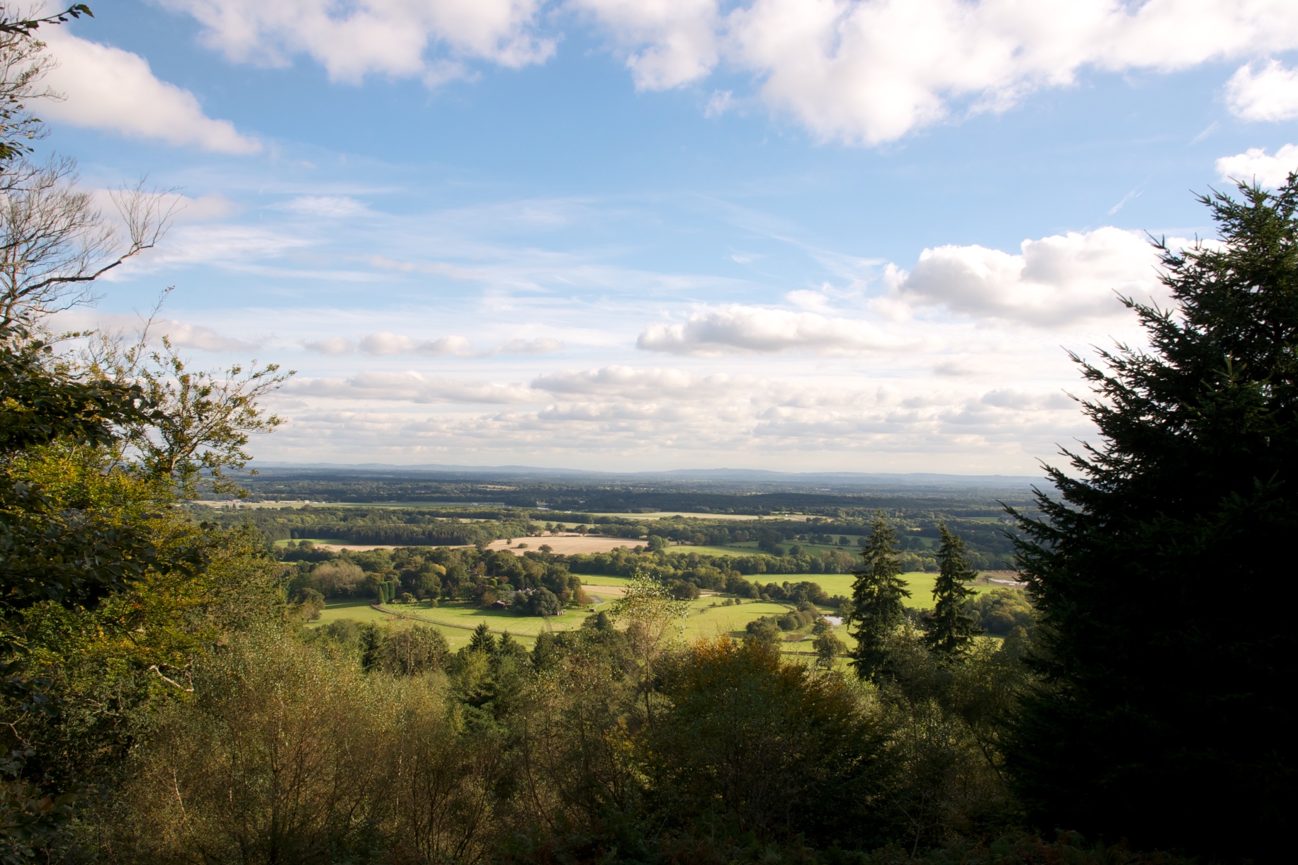
Horses south of Little Burgate Farm
Horses south of Little Burgate Farm Credit: Ian Cunliffe

Peartree Green is a small residential area located in Surrey, England. Situated in the borough of Guildford, it is nestled amidst the beautiful countryside, offering its residents a peaceful and picturesque setting.

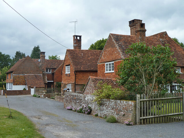
The settlement is characterized by its charming houses, predominantly built in the traditional English architectural style. Many of these properties are surrounded by well-maintained gardens and green spaces, adding to the overall aesthetic appeal of the area. The community of Peartree Green is known for its close-knit atmosphere, with friendly neighbors and a strong sense of community spirit.

Despite its tranquil surroundings, Peartree Green benefits from its proximity to various amenities and services. The nearby town of Guildford offers an array of shopping centers, restaurants, and entertainment options. Additionally, the area boasts excellent transportation links, with the A3 and A31 roads providing easy access to other parts of Surrey and beyond.

Nature enthusiasts will appreciate the abundance of outdoor activities available in the vicinity of Peartree Green. The nearby Surrey Hills Area of Outstanding Natural Beauty provides ample opportunities for hiking, cycling, and exploring the scenic countryside. The area is also home to several parks and green spaces, perfect for leisurely walks or picnics.

Peartree Green is an idyllic residential area that combines the tranquility of the countryside with the convenience of nearby amenities. With its charming homes, friendly community, and access to natural beauty, it is an ideal place for those seeking a peaceful and picturesque place to call home.

If you have any feedback on the listing, please let us know in the comments section below.

Peartree Green Images

Images are sourced within 2km of 51.125207/-0.57436477 or Grid Reference SU9937. Thanks to Geograph Open Source API. All images are credited.
Horses south of Little Burgate Farm
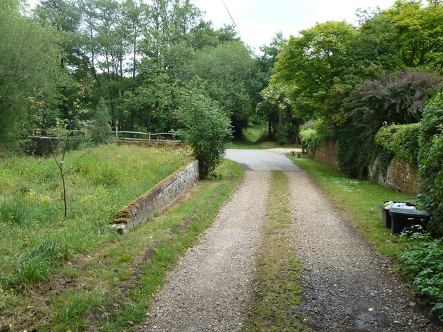
Bridleway 285 Dunsfold by The Mill House The overgrown mill pond is on the left.
Bridleway 285 Dunsfold by The Mill House
The overgrown mill pond is on the left.
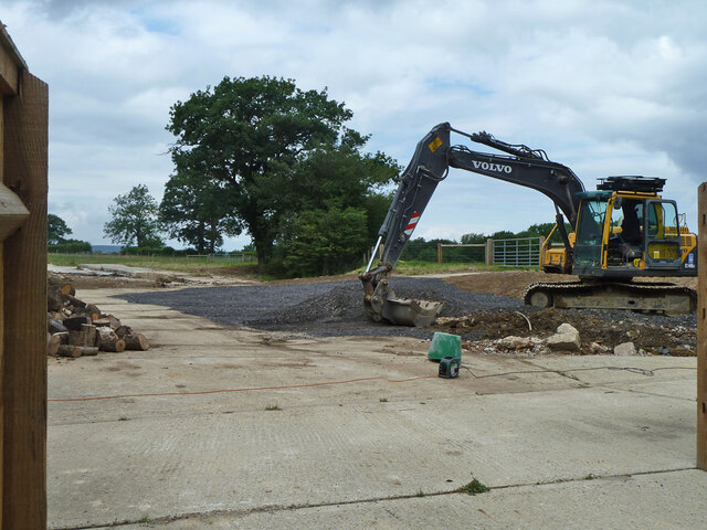
Digger in yard, Field Place Farm It is making good the site of a former farm building.
Digger in yard, Field Place Farm
It is making good the site of a former farm building.
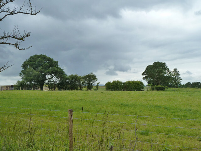
Field west of Hook House Lane
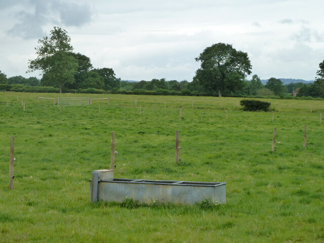
Fields west of Hook House Lane with water trough The nearer posts seem to have insulators but no electric fence wires.
Fields west of Hook House Lane with water trough
The nearer posts seem to have insulators but no electric fence wires.
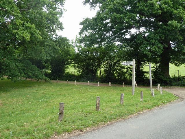
Private drive leading to Pear Tree Green So says the large signpost, but the small one says public footpath. It is footpath 204 Dunsfold, a way towards Breakneck Hill.
Private drive leading to Pear Tree Green
So says the large signpost, but the small one says public footpath. It is footpath 204 Dunsfold, a way towards Breakneck Hill.
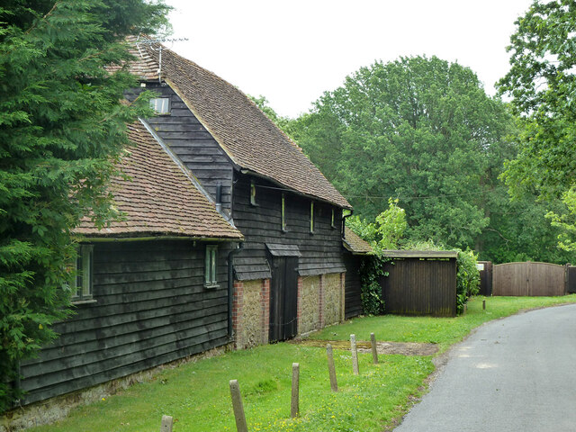
Barns at Red Leaf Farm A non-farming farm now.
Barns at Red Leaf Farm
A non-farming farm now.
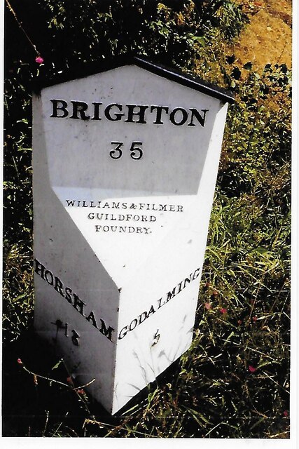
Old Milestone, was at Park Hatch, B2130, Dunsfold Road The milestone was located opposite the junction with Dunsfold Common Road, on the East side of the road on the verge beside the drive to the house. Parish of Dunsfold (Waverley district). Cast iron post, Guildford iron casting design, erected by Godalming & Painshill turnpike trust in the 19th century.

Inscription read:-  HORSHAM / 13  ::  GODALMING / 5  ::  BRIGHTON / 35

This image was taken before 2003 when the milestone was smashed by a flail and the remains later totally removed.

Milestone Society National ID: SY_HOGO13
Old Milestone, was at Park Hatch, B2130, Dunsfold Road
The milestone was located opposite the junction with Dunsfold Common Road, on the East side of the road on the verge beside the drive to the house. Parish of Dunsfold (Waverley district). Cast iron post, Guildford iron casting design, erected by Godalming & Painshill turnpike trust in the 19th century. Inscription read:- HORSHAM / 13 :: GODALMING / 5 :: BRIGHTON / 35 This image was taken before 2003 when the milestone was smashed by a flail and the remains later totally removed. Milestone Society National ID: SY_HOGO13
Oak Tree Lane, Dunsfold Along the north side of the common.
Oak Tree Lane, Dunsfold
Along the north side of the common.
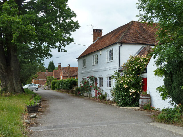
Houses on Oak Tree Lane, Dunsfold Oak Tree Cottage is the near house, Pond Cottage the far. Both are grade II listed buildings.
Houses on Oak Tree Lane, Dunsfold
Oak Tree Cottage is the near house, Pond Cottage the far. Both are grade II listed buildings.
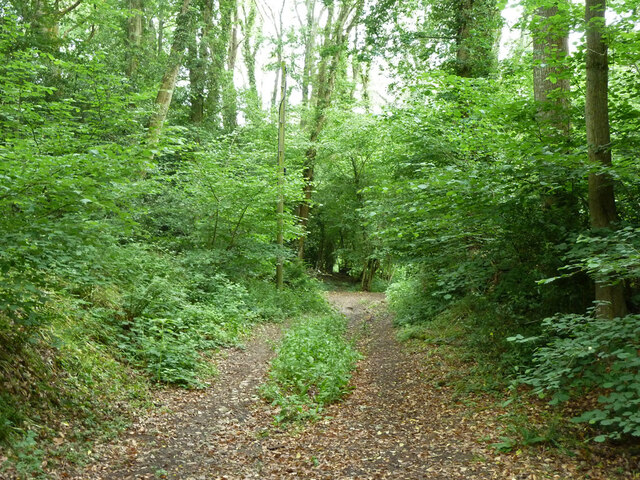
Bridleway 285 Dunsfold Heading west towards Chiddingfold Road.
Bridleway 285 Dunsfold
Heading west towards Chiddingfold Road.
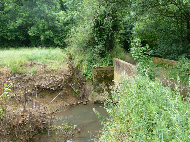
River Lox by bridleway bridge The mill stream from Dunsfold Mill (near) rejoins the main river here.
River Lox by bridleway bridge
The mill stream from Dunsfold Mill (near) rejoins the main river here.
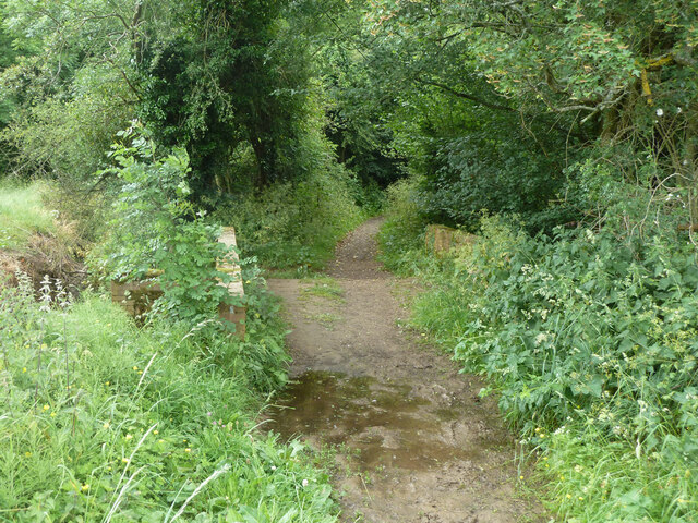
Bridge over River Lox Bridleway 285 Dunsfold crosses.
Bridge over River Lox
Bridleway 285 Dunsfold crosses.
Barn at The Mill House
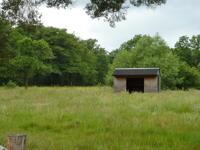
Animal shelter near former Dunsfold Mill Not in residence currently.
Animal shelter near former Dunsfold Mill
Not in residence currently.
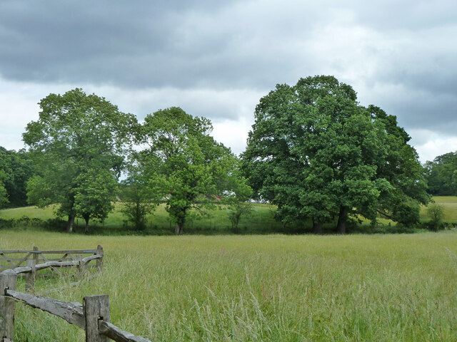
Hedgerow trees, Dunsfold
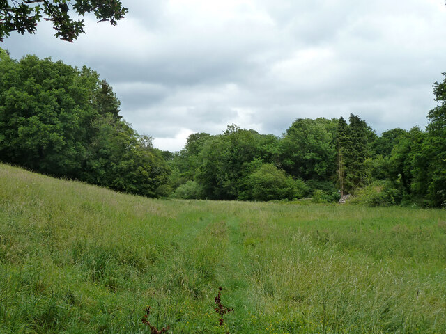
Valley north of Hook House Lane
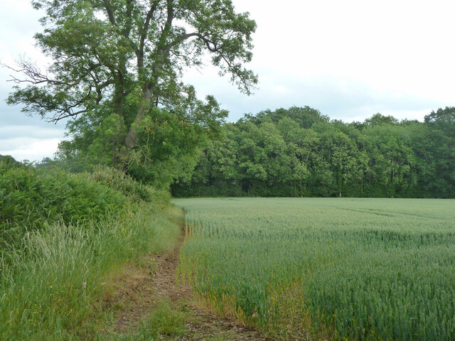
Hedge and field east of Hook House Lane
Show me another place!

Peartree Green is located at Grid Ref: SU9937 (Lat: 51.125207, Lng: -0.57436477)

Administrative County: Surrey

District: Waverley

Police Authority: Surrey

What 3 Words

///limp.river.shoulders. Near Chiddingfold, Surrey

Related Wikis

Dunsfold

Dunsfold is a village in the borough of Waverley, Surrey, England, 8.7 miles (14.0 kilometres) south of Guildford. It lies in the Weald and reaches in...

Hascombe Hill

Hascombe Hill or Hascombe Camp is the site of an Iron Age multivallate hill fort close to the village of Hascombe in Surrey, England. == History == The...

Top Gear test track

The Top Gear test track is used by the BBC automotive television programme Top Gear. It is located at Dunsfold Aerodrome in Surrey, United Kingdom. The...

Hascombe

Hascombe is a village and civil parish in Surrey, England. It is around 3 miles (4.8 km) southeast of Godalming in the Borough of Waverley. The settlement...

Hascombe Court

Hascombe Court is a 172-acre (70 ha) estate in Hascombe, Surrey, best known for its vast garden designed by Gertrude Jekyll. Hascombe Court is listed Grade...

Dunsfold Aerodrome

Dunsfold Aerodrome (former ICAO code EGTD) is an unlicensed airfield in Surrey, England, near the village of Cranleigh. It extends across land in the villages...

Hydon's Ball

Hydon's Ball is a 179-metre-high (587 ft) hill covering most of Hydon Heath in Hydestile, Surrey, England. == Description == The hill on Hydon Heath, Hydestile...

Fir Tree Copse

Fir Tree Copse is a 6-hectare (15-acre) nature reserve south-east of Dunsfold in Surrey. It is managed by the Surrey Wildlife Trust and is part of the...

Nearby Amenities

Located within 500m of 51.125207,-0.57436477
Peartree Green
Place: locality
Lat/Long: 51.1253253/-0.5743119
Barrier: stile
Lat/Long: 51.1243484/-0.5699266
Barrier: stile
Lat/Long: 51.1249828/-0.5702654
Barrier: stile
Lat/Long: 51.1255379/-0.5741585
Barrier: stile
Lat/Long: 51.1267477/-0.5758152
Barrier: stile
Lat/Long: 51.1267833/-0.5733862
Barrier: stile
Lat/Long: 51.126824/-0.575881
Barrier: stile
Lat/Long: 51.1274329/-0.5734078
Barrier: stile
Lat/Long: 51.1277909/-0.5746927
Barrier: stile
Lat/Long: 51.1279026/-0.5753007
Barrier: stile
Lat/Long: 51.1281867/-0.5769592
Farm Bottom
Natural: wood
Lat/Long: 51.1229617/-0.57845
The data included in this document is from www.openstreetmap.org. The data is made available under ODbL.

Have you been to Peartree Green?

Leave your review of Peartree Green below (or comments, questions and feedback).