Paul's Green
Settlement in Cornwall
England
Paul's Green
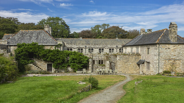
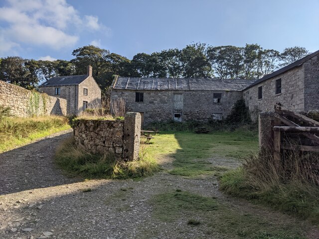
Paul's Green is a small village located in the county of Cornwall, in southwestern England. Situated in the parish of Paul, it is nestled in a picturesque countryside setting, surrounded by rolling green hills and beautiful landscapes. The village is predominantly residential, with a population of around 500 residents.
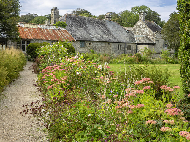
Paul's Green is known for its charming and peaceful atmosphere, making it an ideal destination for those seeking a tranquil retreat away from the hustle and bustle of city life. The village is characterized by its traditional stone cottages and quaint narrow streets, adding to its rustic appeal.
Although small in size, Paul's Green boasts a strong sense of community, with a local pub, The Green Inn, serving as a popular gathering spot for both residents and visitors. The pub offers a warm and friendly atmosphere, where locals often meet to socialize and enjoy a pint of local ale.
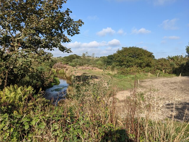
Surrounded by natural beauty, Paul's Green offers ample opportunities for outdoor activities. The nearby countryside provides scenic walking trails, perfect for exploring the stunning surroundings. Additionally, the village is located just a short distance from the coast, allowing residents and visitors to enjoy the sandy beaches and breathtaking coastal views.
In summary, Paul's Green is a charming and peaceful village located in the heart of Cornwall. With its traditional architecture, strong sense of community, and stunning natural surroundings, it is a hidden gem for those seeking a tranquil escape.
If you have any feedback on the listing, please let us know in the comments section below.
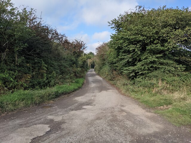
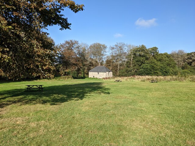
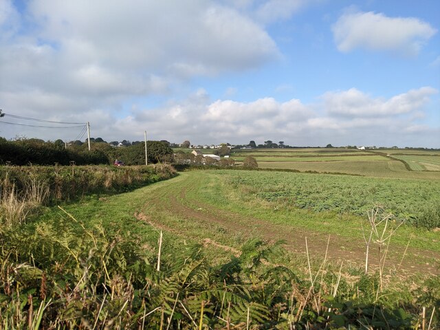
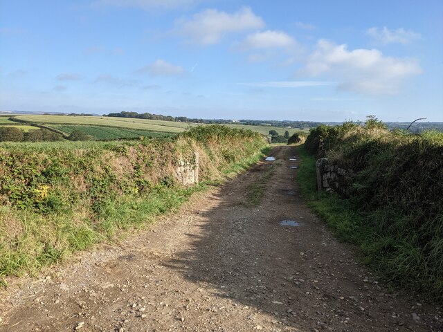
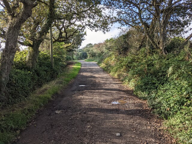
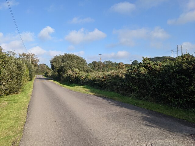
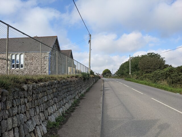
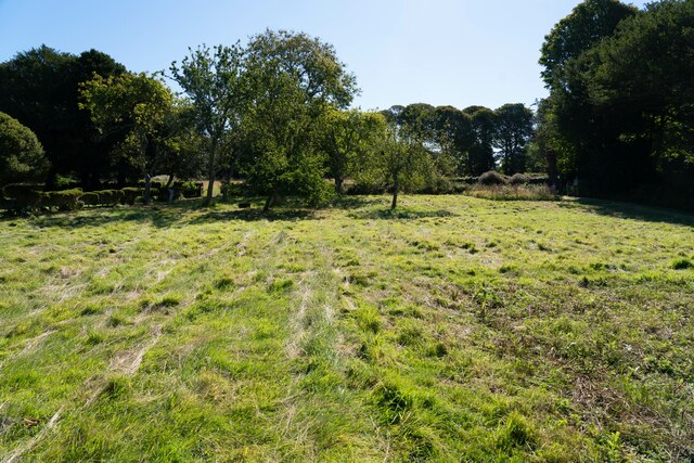
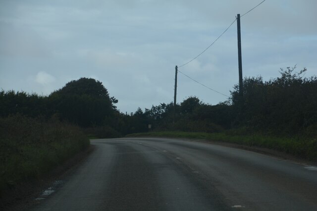
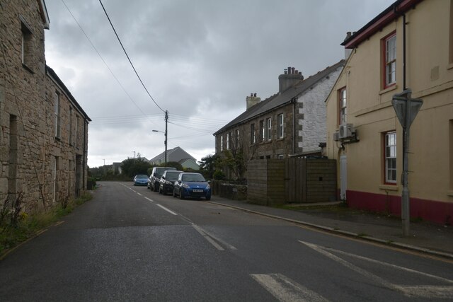
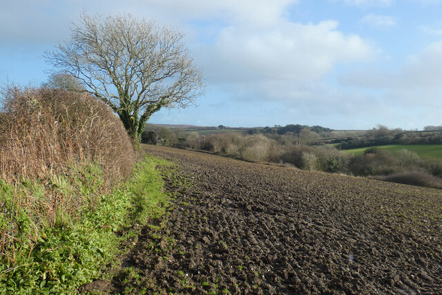
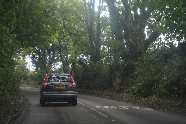
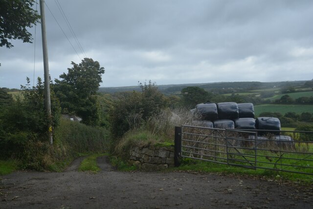
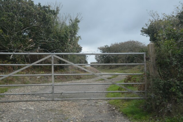
Paul's Green Images
Images are sourced within 2km of 50.151253/-5.361614 or Grid Reference SW5933. Thanks to Geograph Open Source API. All images are credited.
Paul's Green is located at Grid Ref: SW5933 (Lat: 50.151253, Lng: -5.361614)
Unitary Authority: Cornwall
Police Authority: Devon and Cornwall
What 3 Words
///tasteful.painting.duos. Near Germoe, Cornwall
Nearby Locations
Related Wikis

Paul's Green
Paul's Green is a hamlet between Leedstown and Townshend in west Cornwall, England, UK. == References ==
Noonvares
Noonvares is a hamlet in the parish of Crowan, Cornwall, England. == References ==
Carzise
Carzise is a hamlet in west Cornwall, England. It is 0.5 miles (0.80 km) west of Leedstown and 0.5 miles (0.80 km) south-east of Fraddam. Carzise is situated...

Townshend, Cornwall
Townshend (Cornish: Penn an Dre Egloskrowenn) is a small village near Leedstown and Godolphin and the River Hayle. At one time it was a thriving community...
Nearby Amenities
Located within 500m of 50.151253,-5.361614Have you been to Paul's Green?
Leave your review of Paul's Green below (or comments, questions and feedback).