Bines Green

Settlement in Sussex Horsham

England

Bines Green

New houses off West End Lane You can see the South Downs in the distance - with Truleigh Hill communications masts on the right.
New houses off West End Lane Credit: Ian Cunliffe

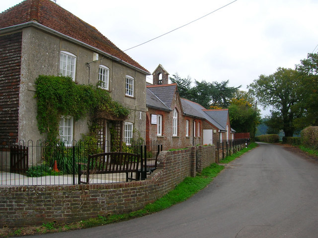
Bines Green is a small village located in the county of Sussex, England. Situated in the rural area of West Sussex, Bines Green is known for its picturesque countryside and tranquil surroundings. It is situated approximately 4 miles northwest of the town of Horsham, and about 50 miles south of London.

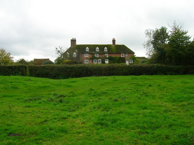
The village is primarily residential, with a population of around 500 residents. It is characterized by its charming cottages and houses, many of which date back to the 19th century. The architecture reflects the traditional English countryside style, adding to the village's quaint and idyllic charm.

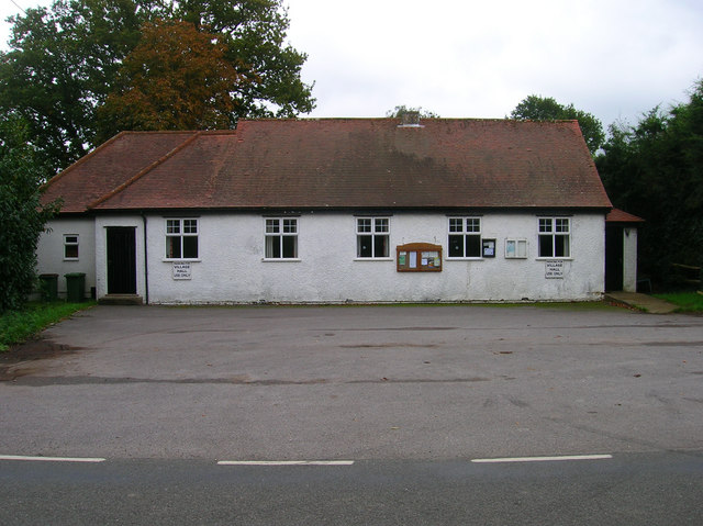
Bines Green boasts a close-knit community, where residents take pride in their village and maintain a strong sense of community spirit. There is a local pub, The Black Horse, which serves as a gathering place for locals and visitors alike, offering a warm and friendly atmosphere.

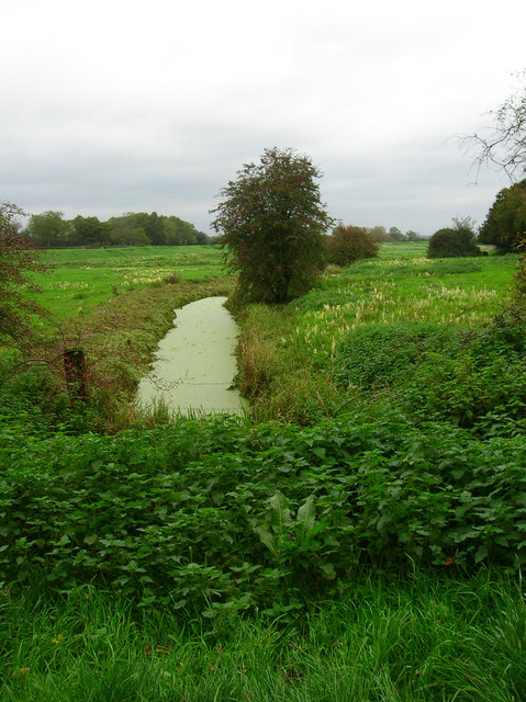
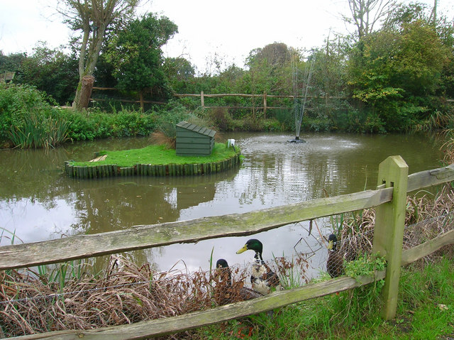
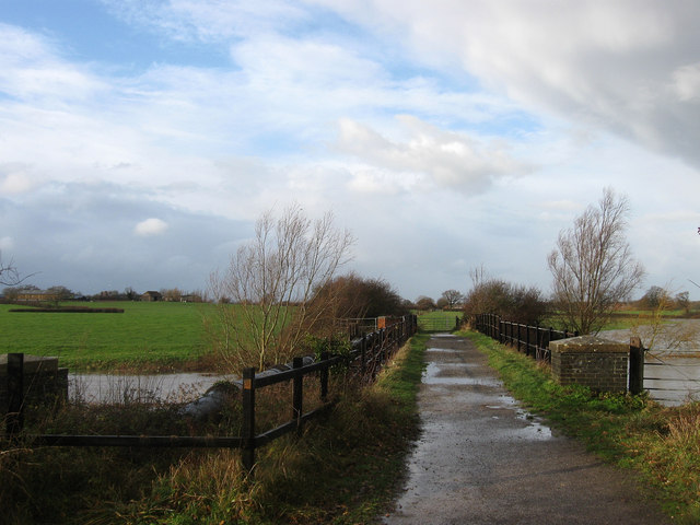
The surrounding area of Bines Green provides ample opportunities for outdoor activities. There are several walking and cycling trails that traverse the beautiful countryside, allowing residents and visitors to explore the stunning landscapes and enjoy the fresh air. The village is also in close proximity to St. Leonard's Forest, a popular natural area for hiking and nature enthusiasts.

In terms of amenities, Bines Green is conveniently located near the town of Horsham, which offers a wide range of shops, supermarkets, schools, and healthcare facilities. The village is well-connected by road and public transportation, making it easily accessible for both residents and visitors.

Overall, Bines Green is a charming and peaceful village, perfect for those seeking a tranquil countryside lifestyle while still having access to nearby amenities.

If you have any feedback on the listing, please let us know in the comments section below.
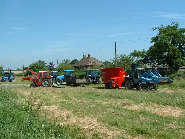
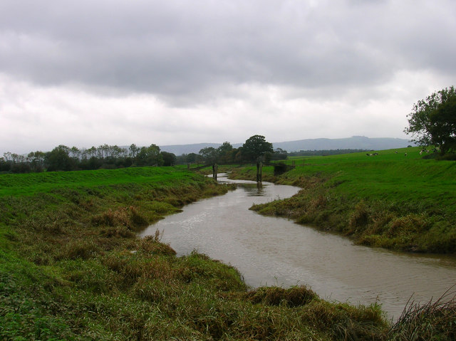
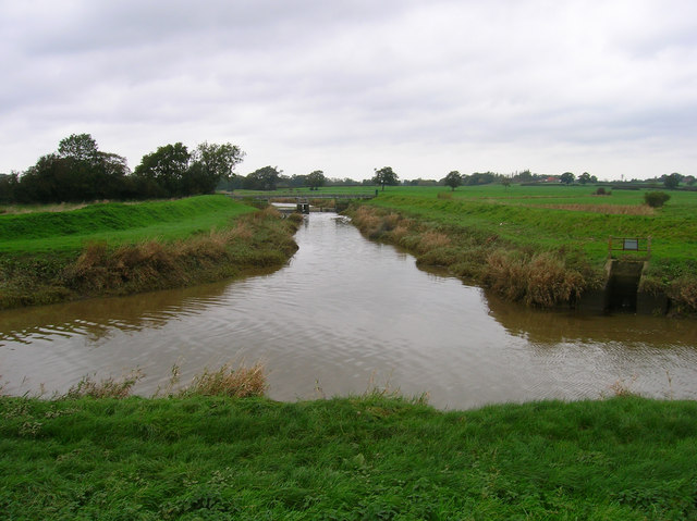
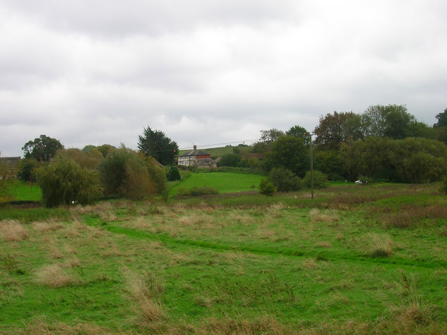
Bines Green Images

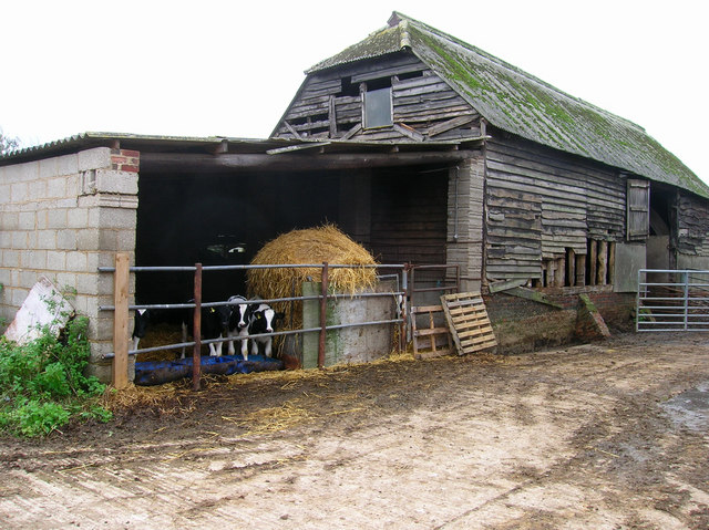
Images are sourced within 2km of 50.942787/-0.31253 or Grid Reference TQ1817. Thanks to Geograph Open Source API. All images are credited.

New houses off West End Lane You can see the South Downs in the distance - with Truleigh Hill communications masts on the right.
New houses off West End Lane
You can see the South Downs in the distance - with Truleigh Hill communications masts on the right.
Tractor Jam Nice collection of tractors outside New Wharf farm at Horsebridge Common on the West side of the square.
Tractor Jam
Nice collection of tractors outside New Wharf farm at Horsebridge Common on the West side of the square.
Prettys Garage, Partridge Green Small cottage garage still operating in the centre of the village on the B2135 opposite the village inn.
Prettys Garage, Partridge Green
Small cottage garage still operating in the centre of the village on the B2135 opposite the village inn.
High Street, Partridge Green The B2116 looking east. The Post Office is to the left of the parked red car.
High Street, Partridge Green
The B2116 looking east. The Post Office is to the left of the parked red car.
Pond, near Lloyts Farm If you follow the bridleway from east to west this is the first of four ponds that are to the north of the bridleway.
Pond, near Lloyts Farm
If you follow the bridleway from east to west this is the first of four ponds that are to the north of the bridleway.
Water Meadows and Farmland, near Partridge Green Looking north east from the Downs Link cycle path.
Water Meadows and Farmland, near Partridge Green
Looking north east from the Downs Link cycle path.
River Adur To the west of Henfield the Adur splits into two, this is the eastern arm which heads in the direction of Burgess Hill. The view looks north and was taken just before Betley Bridge.
River Adur
To the west of Henfield the Adur splits into two, this is the eastern arm which heads in the direction of Burgess Hill. The view looks north and was taken just before Betley Bridge.
Eatons Bridge Footbridge over the River Adur with the South Downs on the horizon in the background.
Eatons Bridge
Footbridge over the River Adur with the South Downs on the horizon in the background.
Confluence of the two River Adurs Straight ahead is the western branch whilst the eastern branch heads off to the right.
Confluence of the two River Adurs
Straight ahead is the western branch whilst the eastern branch heads off to the right.
Lashmars Hall 17th century house viewed from the footpath on the eastern side of the River Adur.
Lashmars Hall
17th century house viewed from the footpath on the eastern side of the River Adur.
River Adur Flood Plain Taken from the footpath leading to Grays Farm and looking to the east of Eaton Bridge.
River Adur Flood Plain
Taken from the footpath leading to Grays Farm and looking to the east of Eaton Bridge.
Eatons Farm Taken from the footpath linking Eaton Bridge to Ashurst village. The other farm buildings are behind the farm house
Eatons Farm
Taken from the footpath linking Eaton Bridge to Ashurst village. The other farm buildings are behind the farm house
Ashurst Village Hall On the B2135 near the south west corner of the grid square.
Ashurst Village Hall
On the B2135 near the south west corner of the grid square.
Inquisitive Calves, Yokenclose Farm Noisy too, perhaps it was near feeding time.
Inquisitive Calves, Yokenclose Farm
Noisy too, perhaps it was near feeding time.
Ashurst County Primary School Built on the site of the old workhouse in 1872. The house adjoining the school building is older from the 18th century and may have been part of the workhouse. It was spared demolition for use as the masters house and is now the reception area for the school. The lane itself was once known as Workhouse Lane but was renamed School Lane.
Ashurst County Primary School
Built on the site of the old workhouse in 1872. The house adjoining the school building is older from the 18th century and may have been part of the workhouse. It was spared demolition for use as the masters house and is now the reception area for the school. The lane itself was once known as Workhouse Lane but was renamed School Lane.
The Fountain Inn, Ashurst 18th century inn once known as the Red Lion but has been the Fountain since the 1830s. Hilaire Belloc once enjoyed some good beer here in 1902 and waxed lyrical about it, whilst in 1979 Paul McCartney filmed the video for 'Wonderful Christmastime' inside.
The Fountain Inn, Ashurst
18th century inn once known as the Red Lion but has been the Fountain since the 1830s. Hilaire Belloc once enjoyed some good beer here in 1902 and waxed lyrical about it, whilst in 1979 Paul McCartney filmed the video for 'Wonderful Christmastime' inside.
Pub Ducks, Fountain Inn Small pond to the south of the inn is home to these ducks. Obviously used to being feed as the first thing they did when they viewed me was swim over to the fence and make plenty of noise.
Pub Ducks, Fountain Inn
Small pond to the south of the inn is home to these ducks. Obviously used to being feed as the first thing they did when they viewed me was swim over to the fence and make plenty of noise.
Signpost, Church Lane, Ashurst Taken from the junction of School Lane and Pepper Lane. The road ahead leads to the parish church then heads back to the B2135.
Signpost, Church Lane, Ashurst
Taken from the junction of School Lane and Pepper Lane. The road ahead leads to the parish church then heads back to the B2135.
Show me another place!

Bines Green is located at Grid Ref: TQ1817 (Lat: 50.942787, Lng: -0.31253)

Administrative County: West Sussex

District: Horsham

Police Authority: Sussex

What 3 Words

///encourage.decimals.swan. Near Ashurst, West Sussex

Nearby Locations

Bines Green

Related Wikis

Bines Green

Bines Green is a hamlet in the Horsham District of West Sussex, England. It lies 1.9 miles (3.1 km) north west of Henfield on the B2135 road between Ashurst...

Fountain Inn, Ashurst

The Fountain Inn is a 16th-century public house in the village of Ashurst, in the Horsham district of West Sussex, England. After a period as a farmhouse...

St James's Church, Ashurst

St James's Church is a Church of England parish church in Ashurst, West Sussex. The church is a grade I listed building and it dates from the early 12th...

Betley Bridge

Betley Bridge is a disused railway bridge, now a rail trail bridge, which crosses the confluence of the East and West Adur rivers North of Henfield in...

Nearby Amenities

Located within 500m of 50.942787,-0.31253
Horsham Road
Naptan AtcoCode: 4400HR0805
Naptan Bearing: NE
Naptan BusStopType: CUS
Naptan CommonName: Horsham Road
Naptan Indicator: HAR
Naptan Landmark: Hail & Ride
Naptan NaptanCode: wsxdwjwt
Naptan Street: Horsham Road
Naptan Verified: no
Source: naptan_import
Lat/Long: 50.941421/-0.3150177
Horsham Road
Naptan AtcoCode: 4400HR0806
Naptan Bearing: SW
Naptan BusStopType: CUS
Naptan CommonName: Horsham Road
Naptan Indicator: HAR
Naptan Landmark: Hail & Ride
Naptan NaptanCode: wsxdwmad
Naptan Street: Horsham Road
Naptan Verified: no
Source: naptan_import
Lat/Long: 50.941387/-0.3148655
Post Box
Collection Times: Mo-Fr 16:00; Sa 08:30
Operator: Royal Mail
Post Box Type: lamp
Ref: RH13 153
Royal Cypher: EIIR
Royal Cypher Wikidata: Q33102113
Lat/Long: 50.941979/-0.3144986
Bines Green
Place: hamlet
Wikidata: Q4914090
Lat/Long: 50.9428681/-0.3139318
Power: pole
Lat/Long: 50.9416179/-0.314376
Power: pole
Lat/Long: 50.9415932/-0.3148834
Power: pole
Lat/Long: 50.9415291/-0.3136181
Power: pole
Lat/Long: 50.941248/-0.3119119
Power: pole
Lat/Long: 50.9410589/-0.3107823
Power: pole
Lat/Long: 50.9408847/-0.3097048
Martinsland Farm
Place: farm
Lat/Long: 50.9442514/-0.311511
The data included in this document is from www.openstreetmap.org. The data is made available under ODbL.

Have you been to Bines Green?

Leave your review of Bines Green below (or comments, questions and feedback).