Bilton Haggs
Settlement in Yorkshire Harrogate
England
Bilton Haggs
The requested URL returned error: 429 Too Many Requests
If you have any feedback on the listing, please let us know in the comments section below.
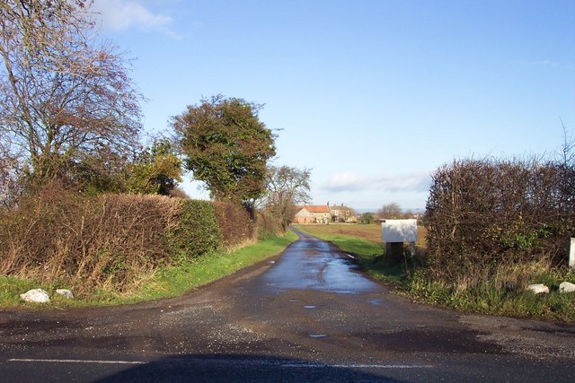
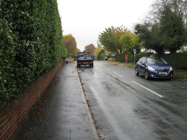
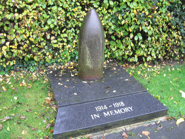
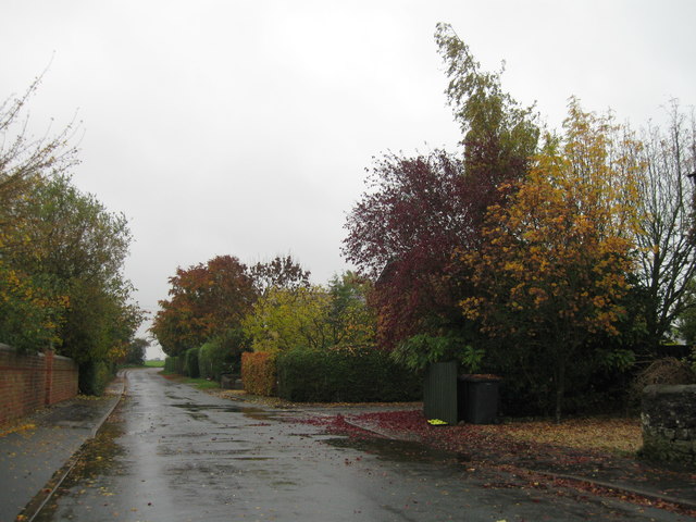
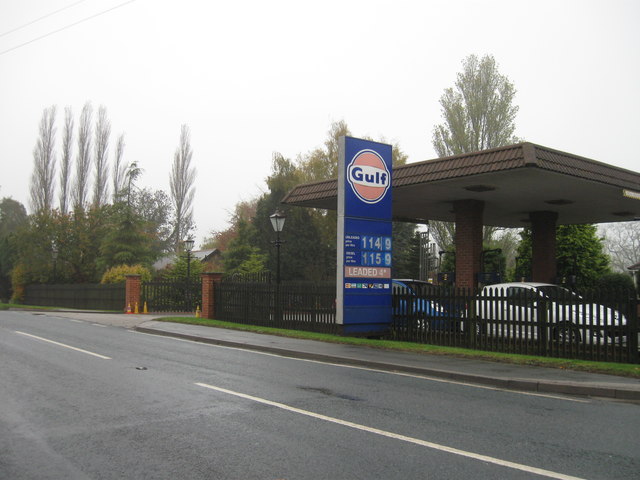
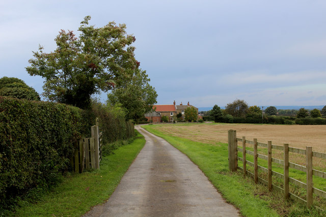
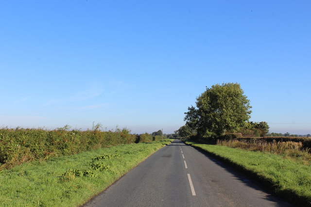
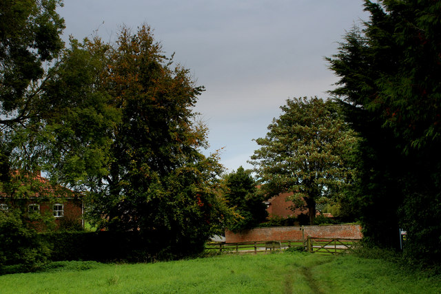
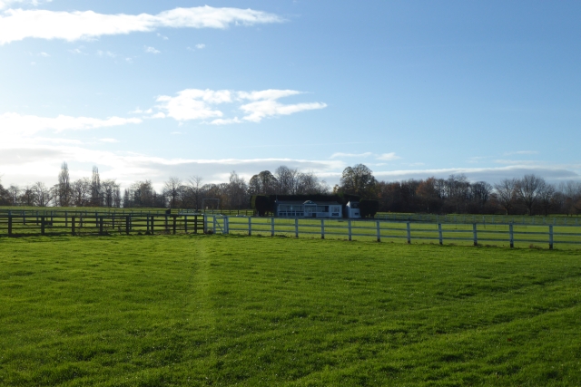
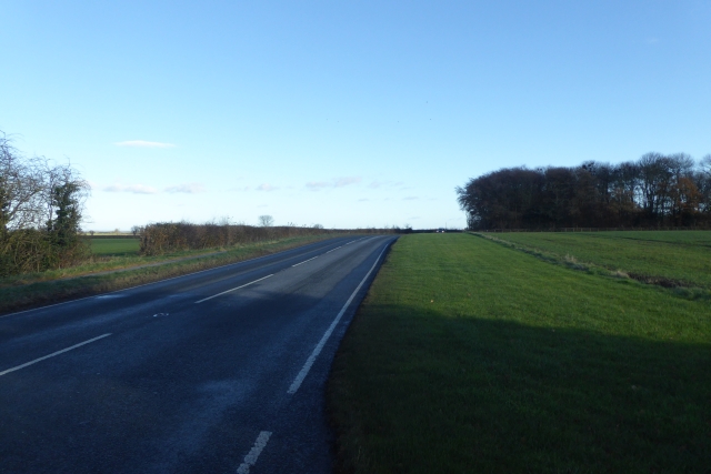
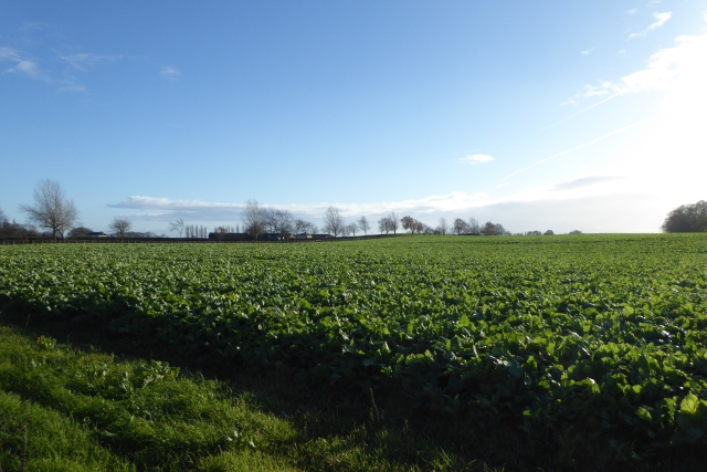
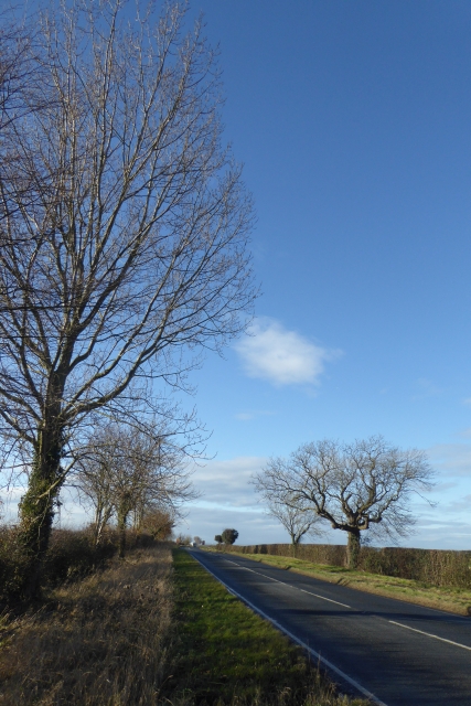
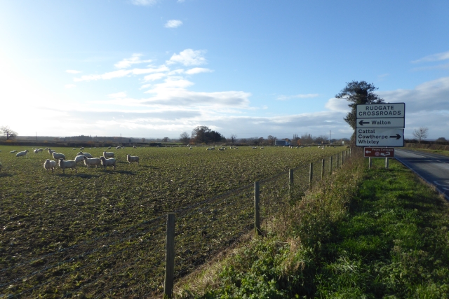
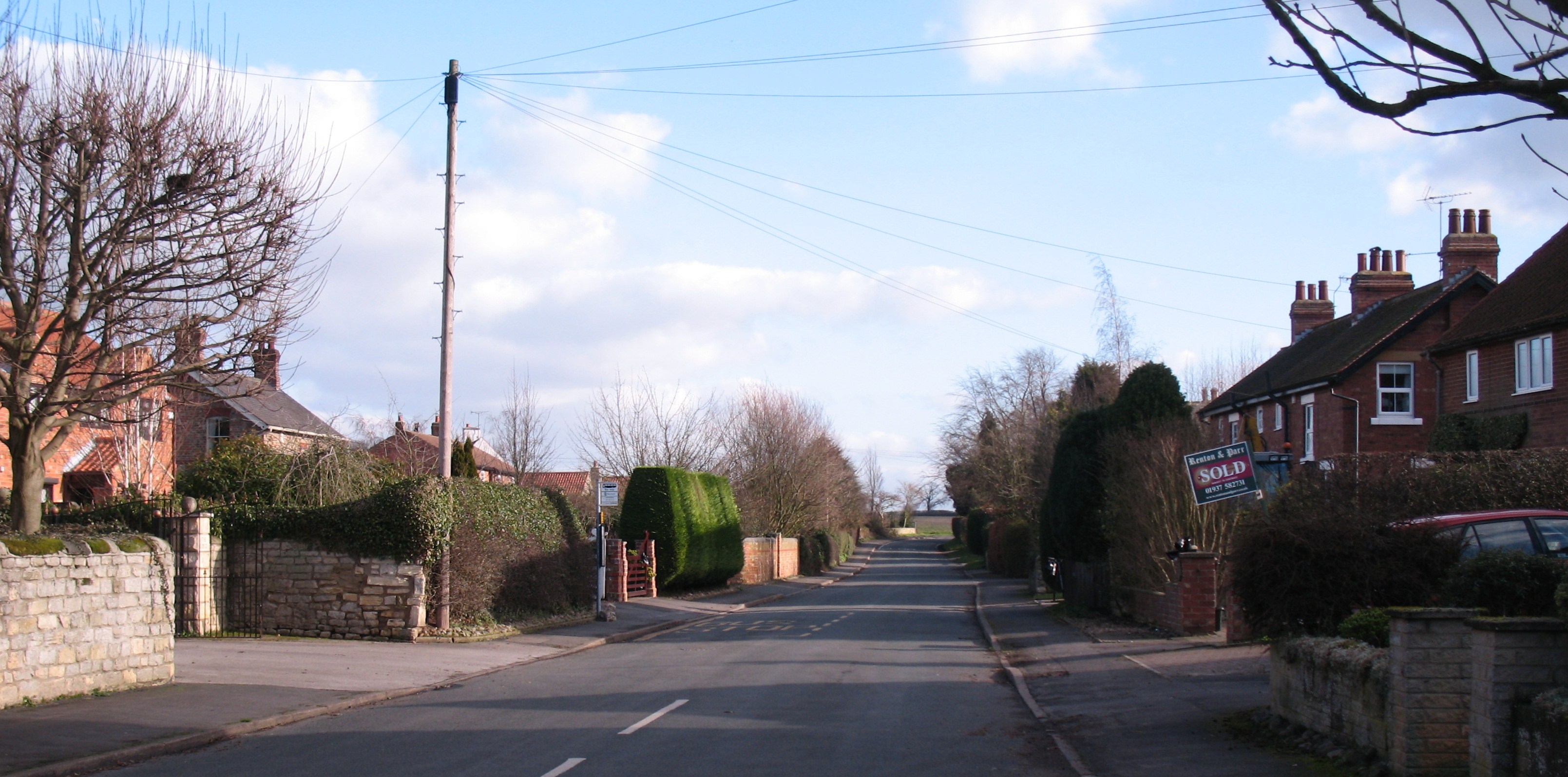
Bilton Haggs Images
Images are sourced within 2km of 53.935084/-1.3008328 or Grid Reference SE4649. Thanks to Geograph Open Source API. All images are credited.


Bilton Haggs is located at Grid Ref: SE4649 (Lat: 53.935084, Lng: -1.3008328)
Division: West Riding
Administrative County: North Yorkshire
District: Harrogate
Police Authority: North Yorkshire
What 3 Words
///sweeper.nearly.stood. Near Walton, West Yorkshire
Nearby Locations
Related Wikis

Syningthwaite Priory
Syningthwaite Priory was a priory in West Yorkshire, England. Syningthwaite is the site of the Cistercian convent of St Mary, founded c. 1150–1160 by Bertram...
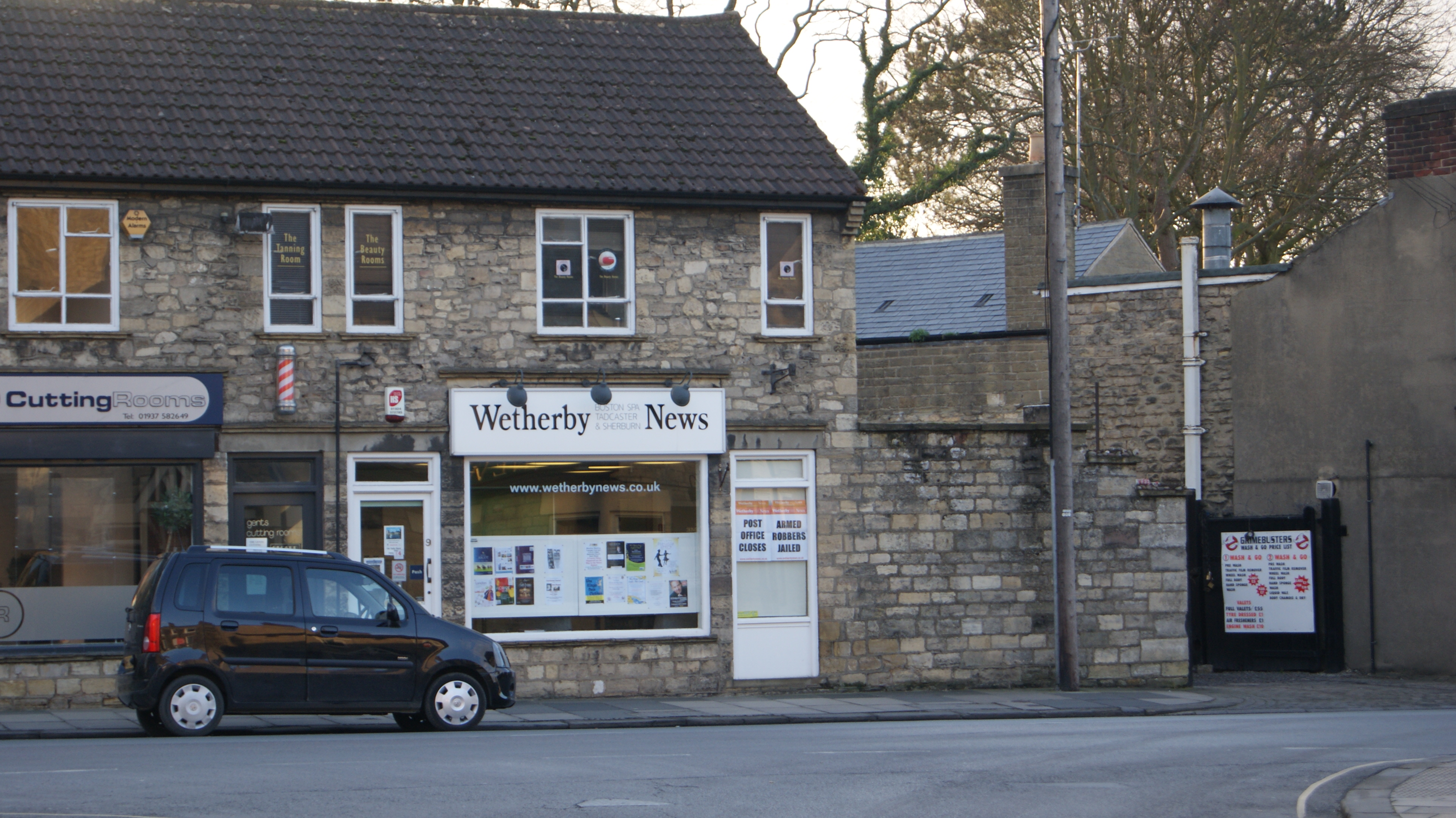
Wetherby News
The Wetherby News is a local weekly tabloid newspaper published on a Thursday and based in Wetherby, West Yorkshire, England. The newspaper was founded...
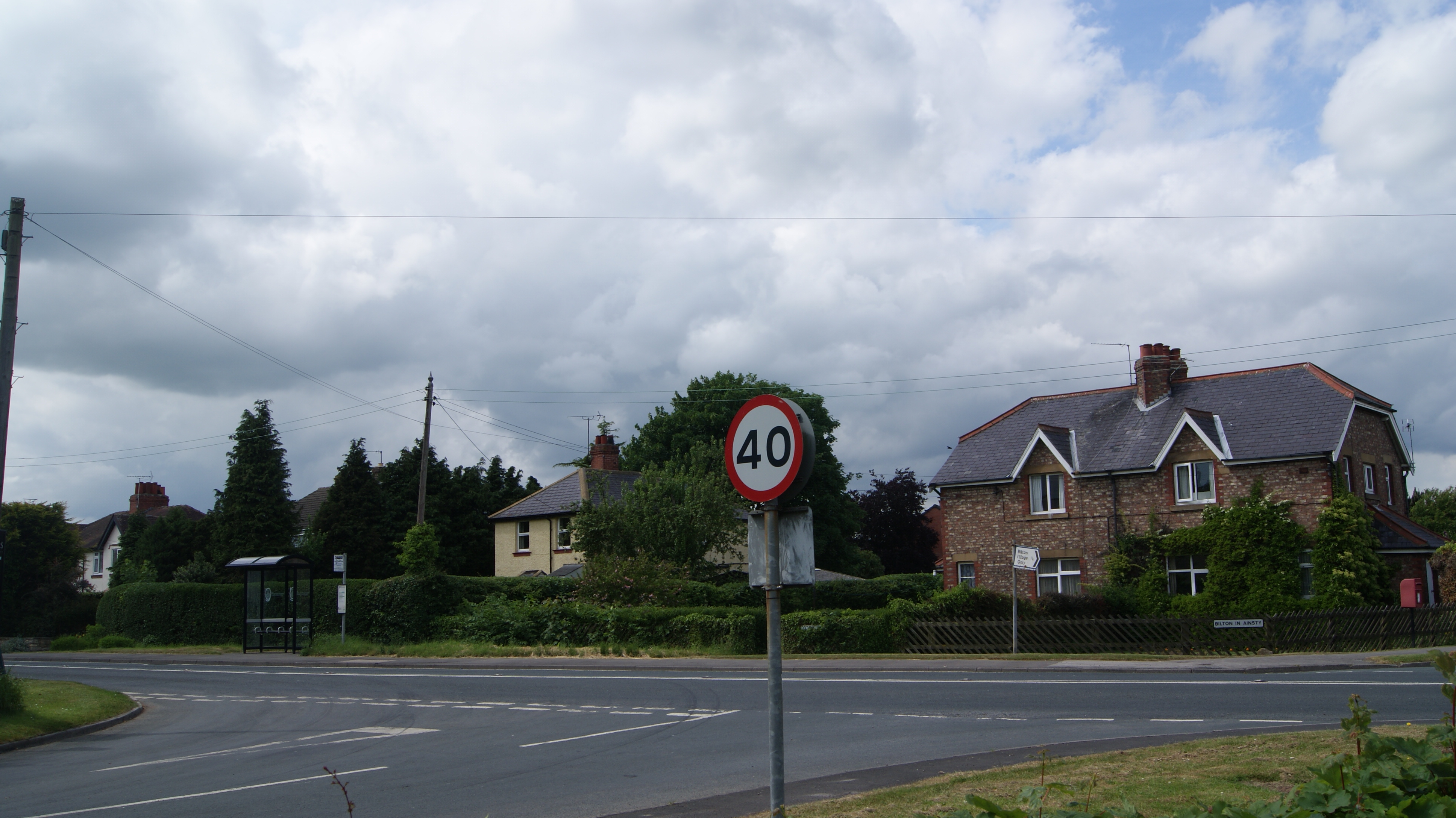
Bilton-in-Ainsty with Bickerton
Bilton-in-Ainsty with Bickerton is a civil parish in the Harrogate district of North Yorkshire, England. According to the 2001 census it had a population...
Bickerton, North Yorkshire
Bickerton is a village on the B1224 road, in the civil parish of Bilton-in-Ainsty with Bickerton, in North Yorkshire, England. The nearest town is Wetherby...
Nearby Amenities
Located within 500m of 53.935084,-1.3008328Have you been to Bilton Haggs?
Leave your review of Bilton Haggs below (or comments, questions and feedback).