Park Lane

Settlement in Staffordshire South Staffordshire

England

Park Lane

Barns at Leper House Farm Typical red brick outbuildings. The farm name suggests the site of a leper hospital associated with the nearby sulphurous Leper Well on Whitehouse Lane.
Barns at Leper House Farm Credit: John M

Park Lane is a charming village located in the county of Staffordshire, England. Situated in the heart of the British countryside, this idyllic settlement offers a peaceful and picturesque environment for its residents and visitors alike.

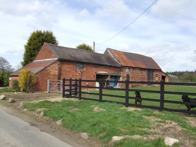
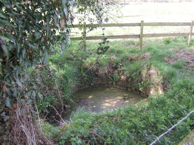
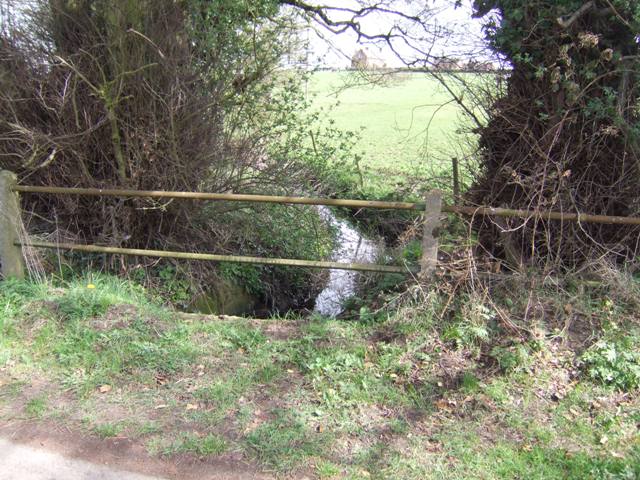
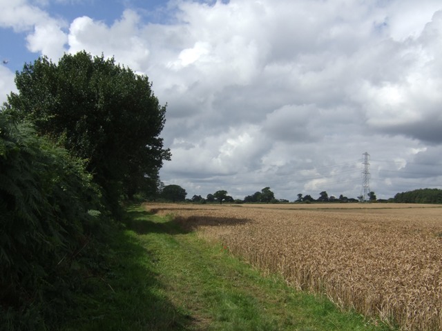
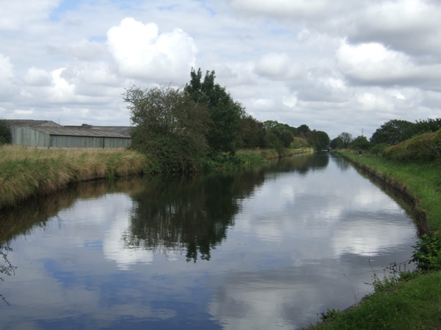
Surrounded by lush green fields and rolling hills, Park Lane is renowned for its natural beauty and tranquility. The village is characterized by its quaint cottages, traditional architecture, and neatly manicured gardens, which contribute to its timeless appeal. The community exudes a strong sense of community spirit, with residents often engaging in local events and activities.

Despite its rural setting, Park Lane benefits from excellent transport connections. The village is conveniently located near major road networks, making it easily accessible by car. Additionally, the nearby railway station provides regular train services to nearby towns and cities, allowing residents to enjoy the best of both worlds – a peaceful rural lifestyle while still having access to urban amenities.

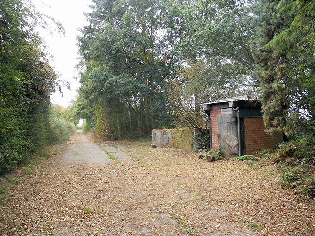
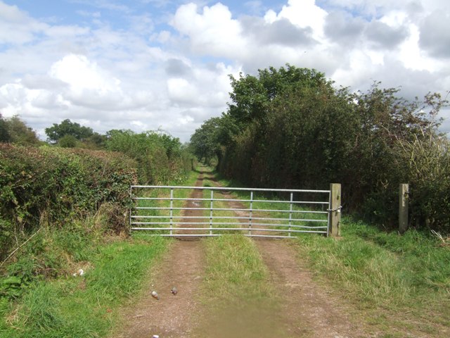
Within the village, there are a range of amenities to cater to the needs of its residents. These include a local primary school, a post office, a village hall, and a few small shops and businesses. The surrounding area offers numerous opportunities for outdoor activities, such as walking, cycling, and horse riding, with several scenic trails and paths to explore.

In conclusion, Park Lane in Staffordshire is a delightful village that offers a harmonious blend of natural beauty, community spirit, and convenient amenities. Its peaceful atmosphere and stunning surroundings make it an ideal place to reside or visit for those seeking a serene countryside experience.

If you have any feedback on the listing, please let us know in the comments section below.
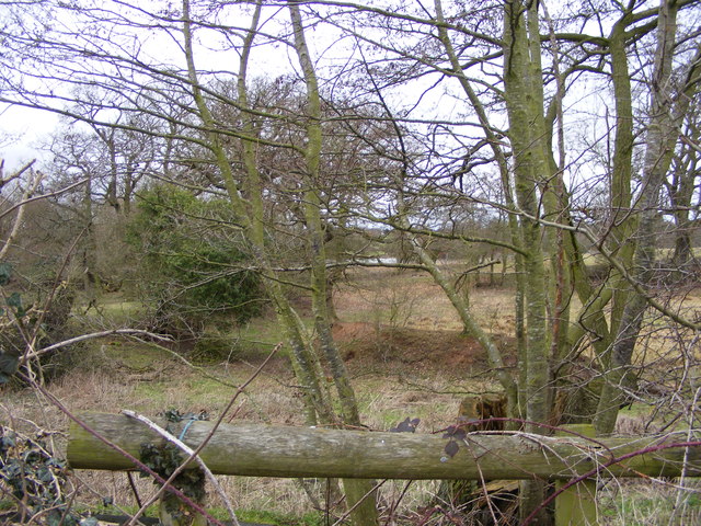
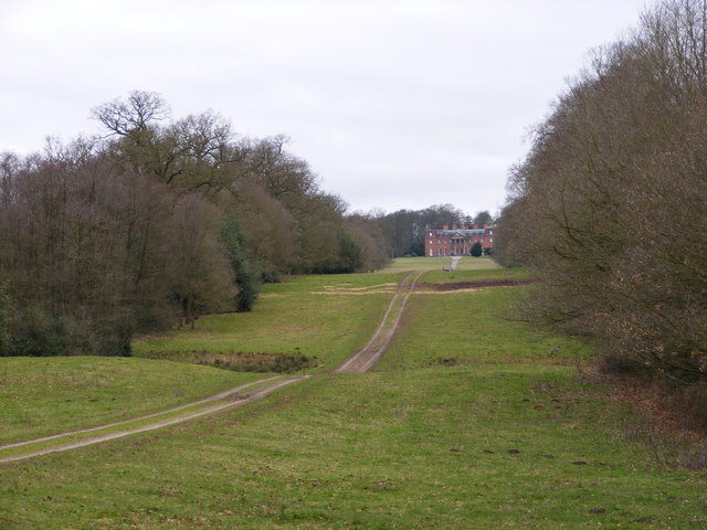
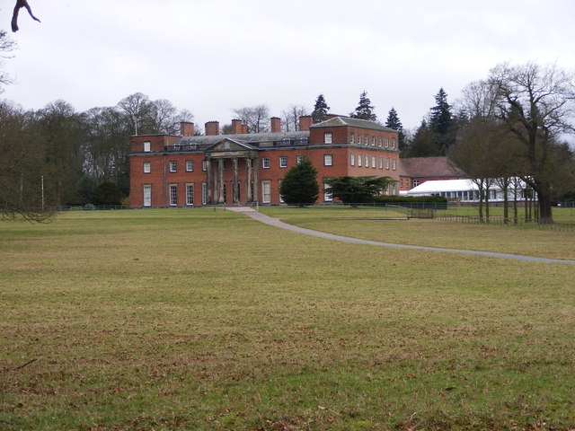
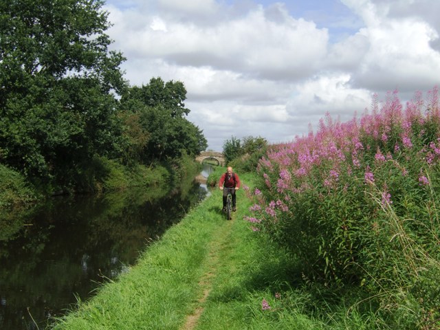
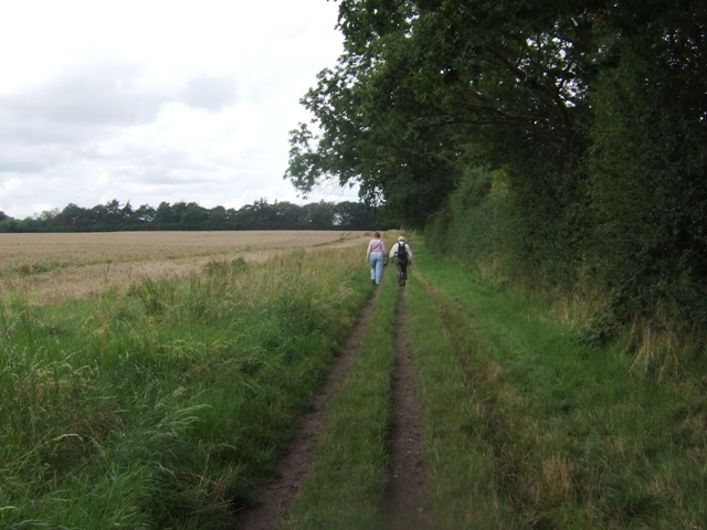
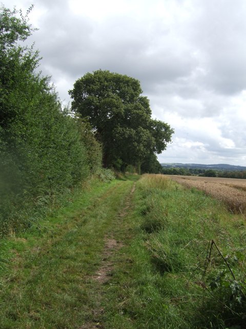
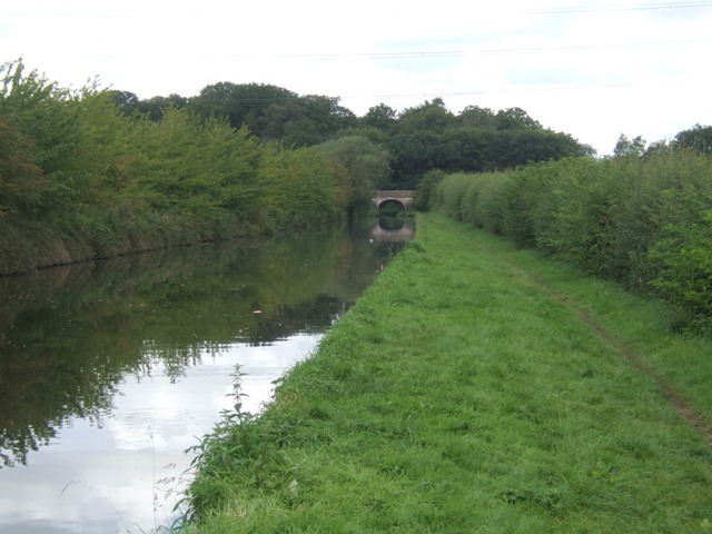
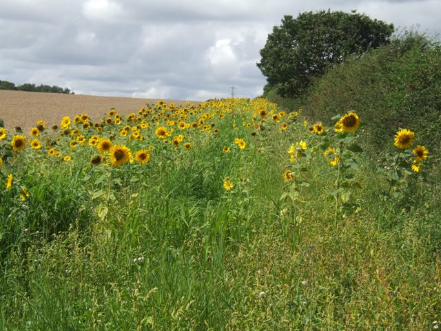
Park Lane Images

Images are sourced within 2km of 52.651596/-2.1788154 or Grid Reference SJ8806. Thanks to Geograph Open Source API. All images are credited.

Barns at Leper House Farm Typical red brick outbuildings. The farm name suggests the site of a leper hospital associated with the nearby sulphurous Leper Well on Whitehouse Lane.
Barns at Leper House Farm
Typical red brick outbuildings. The farm name suggests the site of a leper hospital associated with the nearby sulphurous Leper Well on Whitehouse Lane.
Lepers Well Ancient sulphurous well beside Whitehouse Lane. The well is Grade 2 listed.
Lepers Well
Ancient sulphurous well beside Whitehouse Lane. The well is Grade 2 listed.
Tributary of the Moat Brook Viewed upstream at Whitehouse Lane. The brook is fed from the Big Pool at Chillington Hall.
Tributary of the Moat Brook
Viewed upstream at Whitehouse Lane. The brook is fed from the Big Pool at Chillington Hall.
Bridleway near Long Birch Farm
Monarch's Way
Monarch's Way
Woolley Pool View The view through the trees from the Staffordshire Way near Brewood.
Woolley Pool View
The view through the trees from the Staffordshire Way near Brewood.
Hall Drive The view up Upper Avenue to Chillington Hall from the Staffordshire Way near Brewood.
Hall Drive
The view up Upper Avenue to Chillington Hall from the Staffordshire Way near Brewood.
Hall View The view of Chillington Hall built for the Giffard family in 1786 near Brewood. The white Marquee on the right side is new for Weddings.
Hall View
The view of Chillington Hall built for the Giffard family in 1786 near Brewood. The white Marquee on the right side is new for Weddings.
Very old Leper House Farm, reputed to have been a leper colony On nearby Moors Farm is the Lepers Well, a sulphur well which is reputed to cure all ills, including Leprosy. link
Very old Leper House Farm, reputed to have been a leper colony
On nearby Moors Farm is the Lepers Well, a sulphur well which is reputed to cure all ills, including Leprosy. link
Whitehouse Lane at Gunstone Some maps give Gunstone as being just up the road, but Google maps place it here.
Whitehouse Lane at Gunstone
Some maps give Gunstone as being just up the road, but Google maps place it here.
Shropshire Union towpath near Lower Hattons Bridge The Monarch's Way follows the towpath south to Pendeford Bridge on its way from Boscobel to Moseley Old Hall.
Shropshire Union towpath near Lower Hattons Bridge
The Monarch's Way follows the towpath south to Pendeford Bridge on its way from Boscobel to Moseley Old Hall.
Walkers on the Monarchs Way Between Hunting Bridge and Port Lane.
Walkers on the Monarchs Way
Between Hunting Bridge and Port Lane.
Monarch's Way The path drops down from Port Lane to Hunting Bridge heading for Pendeford Mill.
Monarch's Way
The path drops down from Port Lane to Hunting Bridge heading for Pendeford Mill.
Shropshire Union Canal - View towards Park Bridge
Sunflowers in the field margin
Monarch's Way The footpath drops down from Port Lane to Hunting Bridge.
Monarch's Way
The footpath drops down from Port Lane to Hunting Bridge.
Winding hole north of Lower Hattons Bridge On the Shropshire Union Canal.
Winding hole north of Lower Hattons Bridge
On the Shropshire Union Canal.
Farm lane by the Hattons Permissive footpath and bridleway.
Farm lane by the Hattons
Permissive footpath and bridleway.
Show me another place!

Park Lane is located at Grid Ref: SJ8806 (Lat: 52.651596, Lng: -2.1788154)

Administrative County: Staffordshire

District: South Staffordshire

Police Authority: Staffordshire

What 3 Words

///boom.feeds.legs. Near Codsall, Staffordshire

Nearby Locations

Park Lane

Related Wikis

Gunstone

Gunstone is a hamlet in the South Staffordshire district of Staffordshire, England. It is situated north east of the village of Codsall. == Place name... ==

Chillington Hall

Chillington Hall is a Georgian country house near Brewood, Staffordshire, England, four miles northwest of Wolverhampton. It is the residence of the Giffard...

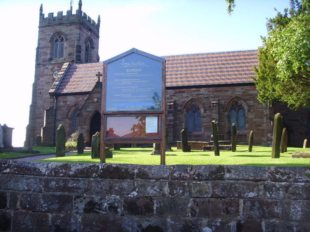
St Nicholas' Church, Codsall

St Nicholas’ Church, Codsall is a Grade II* listed parish church in the Church of England in Codsall == History == The doorway is Norman. The west tower...

Codsall Community High School

Codsall Community High School is a coeducational upper school and sixth form located in Codsall, Staffordshire, England.It is located in a large village...

Nearby Amenities

Located within 500m of 52.651596,-2.1788154
Power: tower
Source: Bing
Lat/Long: 52.6501923/-2.1842538
Power: tower
Source: Bing
Lat/Long: 52.6515748/-2.1797382
Power: tower
Source: Bing
Lat/Long: 52.6532583/-2.1741227
Barrier: stile
Steps: 2
Stile: stepover
Lat/Long: 52.6518767/-2.1831127
The data included in this document is from www.openstreetmap.org. The data is made available under ODbL.

Have you been to Park Lane?

Leave your review of Park Lane below (or comments, questions and feedback).