Bilston

Settlement in Staffordshire

England

Bilston

Park Scene The view in Hickman Park Bilston from by the Broad Street gate.
Park Scene Credit: Gordon Griffiths

Bilston is a town located in the county of Staffordshire, West Midlands, England. It is situated approximately three miles southeast of Wolverhampton and has a population of around 25,000 people. The town is part of the larger Wolverhampton metropolitan borough and is known for its industrial history.

Historically, Bilston was an important center for the iron and steel industries. It had numerous factories and foundries that produced a wide range of goods, including locks, keys, chains, and nails. The town's industrial heritage is still visible today in the form of old factories and warehouses.

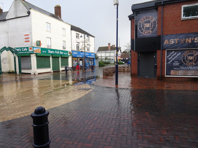
Bilston has a rich cultural heritage and is home to several notable landmarks and attractions. St. Leonard's Church, a Grade II* listed building, is a prominent feature in the town. The church dates back to the 13th century and is known for its architectural beauty. Bilston Market, held in the town center, is a popular destination for locals and visitors alike. It offers a variety of stalls selling fresh produce, clothing, homeware, and more.

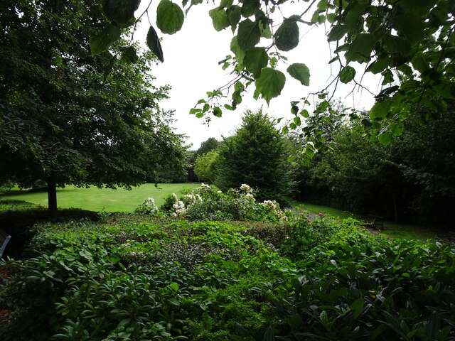
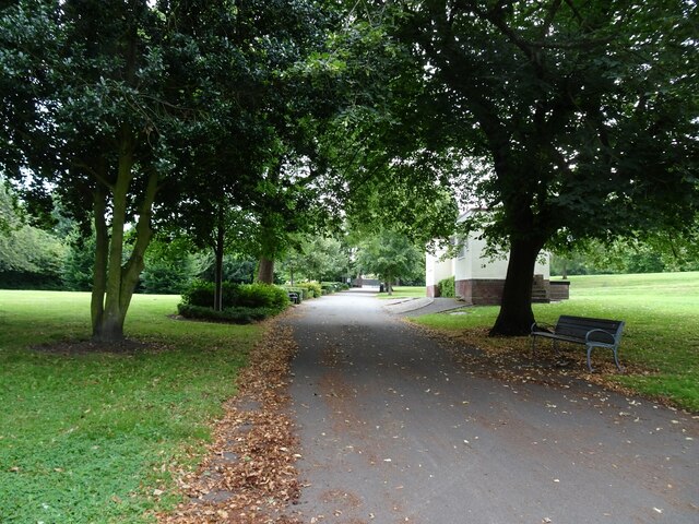
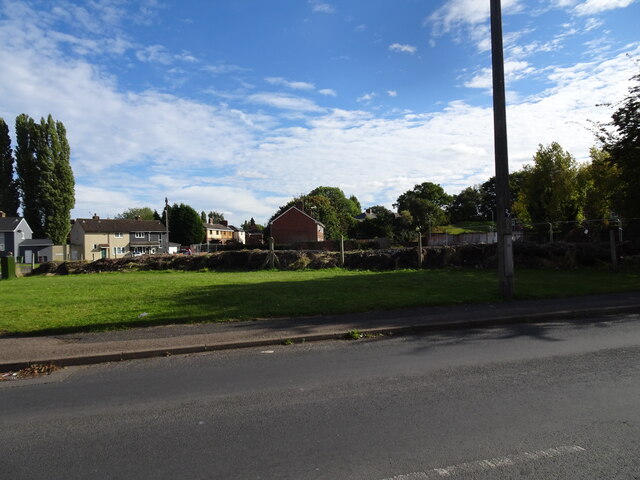
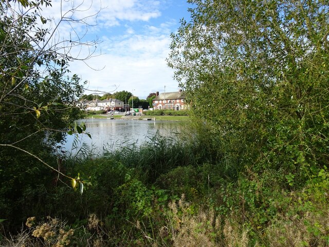
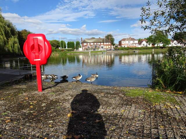
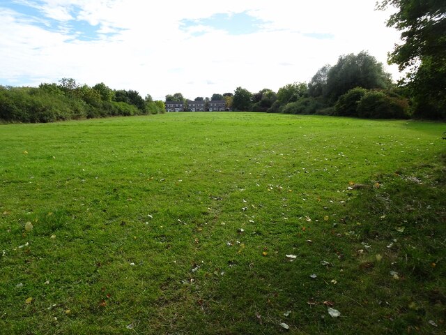
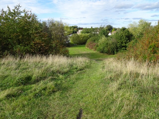
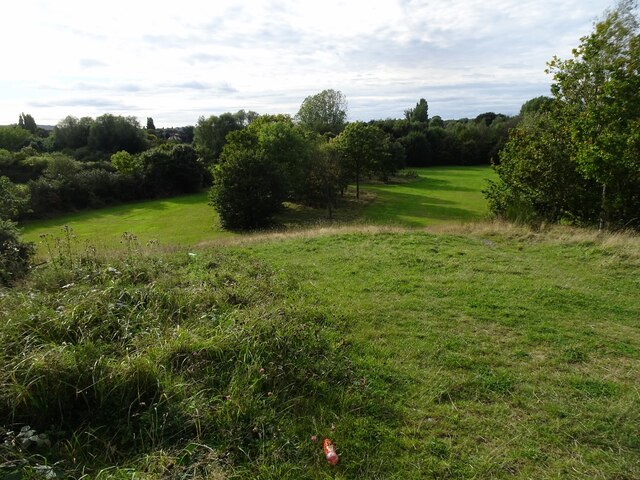
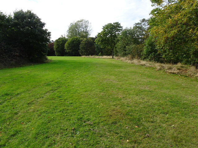
The town also has several parks and green spaces, such as Hickman Park and Bilston Park, where residents can enjoy outdoor activities and recreational facilities. Bilston Town Hall is another significant landmark and serves as a venue for various events and performances.

In recent years, Bilston has undergone some regeneration efforts to improve its infrastructure and attract investment. The town has good transportation links, with bus services connecting it to neighboring areas, and the Wolverhampton train station nearby providing access to other major cities.

If you have any feedback on the listing, please let us know in the comments section below.
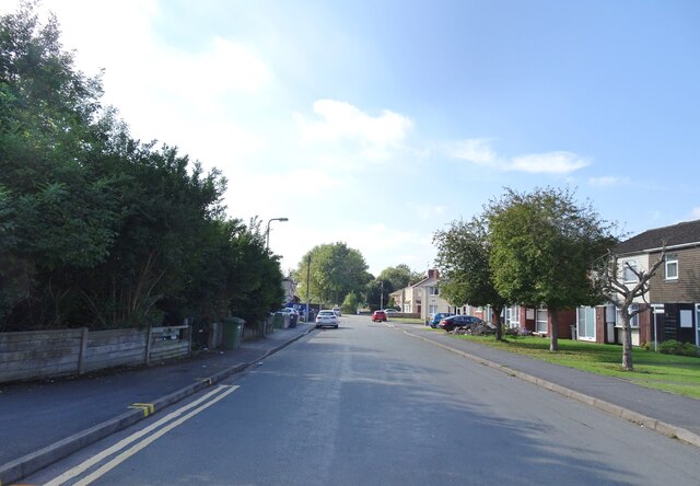
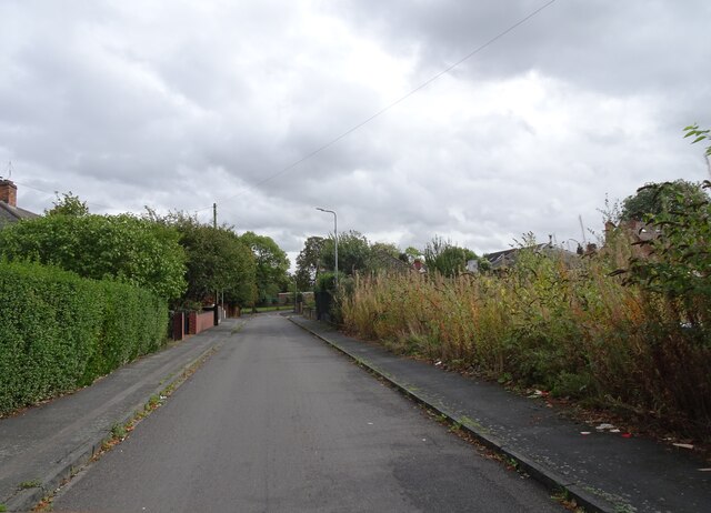
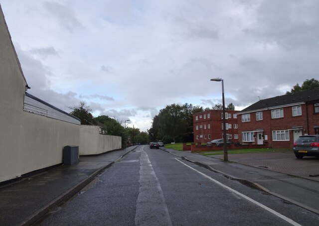
Bilston Images

Images are sourced within 2km of 52.566362/-2.082586 or Grid Reference SO9496. Thanks to Geograph Open Source API. All images are credited.

Park Scene The view in Hickman Park Bilston from by the Broad Street gate.
Park Scene
The view in Hickman Park Bilston from by the Broad Street gate.
Park view The view near the Park Theatre in the centre of Bilston's Hickman Park.
Park view
The view near the Park Theatre in the centre of Bilston's Hickman Park.
Alice Street View The view from the Bilston Cul de Sac.
Alice Street View
The view from the Bilston Cul de Sac.
Earl Street scene The view in the Bilston Cul de Sac.
Earl Street scene
The view in the Bilston Cul de Sac.
Mill Street The view of the Bilston Street.
Mill Street
The view of the Bilston Street.
Harper Road Scene The view from Villiers Avenue, with the land to the former Bilston Tennis Club on the right.
Harper Road Scene
The view from Villiers Avenue, with the land to the former Bilston Tennis Club on the right.
Greencroft  The view near Bilston Town centre.
Greencroft
The view near Bilston Town centre.
Wet High Street The view in Bilston Town on a rainy day.
Wet High Street
The view in Bilston Town on a rainy day.
Lost Wanderer The view of the site of the former Happy Wanderer, a Stowlawn Pub on Green Lanes, Bilston. It was named after the song and its association with the Wolves Football Club. The view in 2008 <a href="https://www.geograph.org.uk/photo/705949">SO9497 : The Happy Wanderer</a>
Lost Wanderer
The view of the site of the former Happy Wanderer, a Stowlawn Pub on Green Lanes, Bilston. It was named after the song and its association with the Wolves Football Club. The view in 2008 SO9497 : The Happy Wanderer
Grapes Pool View The view of the Pool in open space next to Moseley Road, Bilston.
A pool popular with young anglers and the resident ducks and geese. The Grapes public house overlooks the pool.
The view in September <a href="https://www.geograph.org.uk/photo/246005">SO9497 : Pool in open space next  to Moseley Road</a>.
Grapes Pool View
The view of the Pool in open space next to Moseley Road, Bilston. A pool popular with young anglers and the resident ducks and geese. The Grapes public house overlooks the pool. The view in September SO9497 : Pool in open space next to Moseley Road.
Grapes Pool  The view of the Pool in open space next to Moseley Road, Bilston.
The Grapes public house overlooks the pool.
Grapes Pool
The view of the Pool in open space next to Moseley Road, Bilston. The Grapes public house overlooks the pool.
Pool Car Park The Grapes Pool car park off Prouds Lane, Bilston.
Pool Car Park
The Grapes Pool car park off Prouds Lane, Bilston.
Park View to Langdale Drive The view on the old Bilston Golf Course off Proud's Lane, near the Grapes Pool.
The park is under threat to housing in the Black Country Plan for building on green belt land.
Park View to Langdale Drive
The view on the old Bilston Golf Course off Proud's Lane, near the Grapes Pool. The park is under threat to housing in the Black Country Plan for building on green belt land.
Pool View The view on the old Bilston Golf Course off Proud's Lane, near the Grapes Pool.
The park is under threat to housing in the Black Country Plan for building on green belt land.
Pool View
The view on the old Bilston Golf Course off Proud's Lane, near the Grapes Pool. The park is under threat to housing in the Black Country Plan for building on green belt land.
Grapes Pool Fields The view on the old Bilston Golf Course off Proud's Lane, near the Grapes Pool.
The park is under threat to housing in the Black Country Plan for building on green belt land.
Grapes Pool Fields
The view on the old Bilston Golf Course off Proud's Lane, near the Grapes Pool. The park is under threat to housing in the Black Country Plan for building on green belt land.
Grapes Pool Park The view on the old Bilston Golf Course off Proud's Lane, near the Grapes Pool.
The park is under threat to housing in the Black Country Plan for building on green belt land.
Grapes Pool Park
The view on the old Bilston Golf Course off Proud's Lane, near the Grapes Pool. The park is under threat to housing in the Black Country Plan for building on green belt land.
Park Path The view in East Park in Wolverhampton.
Park Path
The view in East Park in Wolverhampton.
Woodstock Road The view in the East Park Estate in Wolverhampton.
Woodstock Road
The view in the East Park Estate in Wolverhampton.
Show me another place!

Bilston is located at Grid Ref: SO9496 (Lat: 52.566362, Lng: -2.082586)

Unitary Authority: Wolverhampton

Police Authority: West Midlands

What 3 Words

///raced.pills.trips. Near Bilston, West Midlands

Nearby Locations

Bilston Millfields

Related Wikis

The Crescent tram stop

The Crescent tram stop is a tram stop located on Line 1 of the West Midlands Metro north of Bilston just off the A41 Wellington Road, near Wolverhampton...

Bert Williams Leisure Centre

The Bert Williams Leisure Centre is a leisure centre in Bilston in the West Midlands, England, was named after the Wolves and England footballer Bert Williams...

Bilston Central tram stop

Bilston Central tram stop is a tram stop in Bilston near Wolverhampton, England. It was opened on 31 May 1999 and is situated on West Midlands Metro Line...

Bilston Town Hall

Bilston Town Hall is a municipal facility in Church Street, Bilston, West Midlands, United Kingdom. It is a Grade II listed building. == History == The...

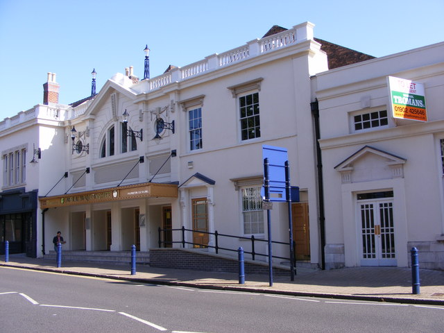
Odeon Cinema, Bilston

The Odeon Cinema (originally Wood's Picture Palace) is a former cinema in Bilston, West Midlands England. Built in 1921, it was a cinema until 1964....

Bilston West railway station

Bilston West railway station was a station built by the Oxford, Worcester and Wolverhampton Railway in 1854. It was situated on the Oxford-Worcester-Wolverhampton...

The Greyhound and Punchbowl

The Greyhound and Punchbowl Inn, formerly Stoke Heath Manor House and then Ye Olde Greyhound, or also 51 High Street, is a public house in Bilston, West...

Ormiston SWB Academy

Ormiston SWB Academy (formerly South Wolverhampton and Bilston Academy) is an academy school (11–18 years) serving the town of Bilston and the southern...

Nearby Amenities

Located within 500m of 52.566362,-2.082586
Traffic Signals
Source: bing
Lat/Long: 52.5623415/-2.0823794
Crossing
Button Operated: yes
Crossing: traffic_signals
Crossing Markings: dots
Tactile Paving: yes
Lat/Long: 52.5646824/-2.0839664
Traffic Signals
Source: bing
Lat/Long: 52.5673697/-2.075981
Bilston
Is In County: West Midlands
Is In District: Wolverhampton
Place: town
Wikidata: Q1015967
Wikipedia: en:Bilston
Lat/Long: 52.5700229/-2.0822333
Traffic Signals
Source: bing
Lat/Long: 52.5638344/-2.0768537
Traffic Signals
Source: bing
Lat/Long: 52.5674017/-2.0761171
Mini Roundabout
Source: bing
Lat/Long: 52.5670885/-2.0814385
The Crescent
Public Transport: station
Tram: yes
Lat/Long: 52.5679643/-2.0808452
Bus Stop
Wolverhampton Street / Shale St
Bench: no
Bin: no
Bus: yes
Lit: yes
Naptan AtcoCode: 43000714801
Naptan Bearing: NW
Naptan BusStopType: MKD
Naptan CommonName: Shale St
Naptan Indicator: opp
Naptan NaptanCode: nwmtawpj
Naptan PlusbusZoneRef: BHAMNWS
Naptan Status: ACT
Naptan StopType: BCT
Naptan Street: WOLVERHAMPTON STREET
Naptan Towards: Portobello
Naptan Verified: no
Public Transport: platform
Route Ref: 23
Shelter: no
Source: WMCA
Tactile Paving: no
Lat/Long: 52.5651966/-2.0842398
Bus Stop
Wolverhampton Street / Merstone Close
Bench: no
Bin: no
Bus: yes
Lit: yes
Naptan AtcoCode: 43000714901
Naptan Bearing: NW
Naptan BusStopType: MKD
Naptan CommonName: Merstone Close
Naptan Indicator: adj
Naptan NaptanCode: nwmtawpm
Naptan PlusbusZoneRef: BHAMNWS
Naptan Status: ACT
Naptan StopType: BCT
Naptan Street: WOLVERHAMPTON STREET
Naptan Towards: Portobello
Naptan Verified: no
Public Transport: platform
Route Ref: 23
Shelter: no
Source: WMCA
Tactile Paving: no
Lat/Long: 52.5678999/-2.0867075
Bus Stop
Wellington Rd / Bilston College
NaPTANAreaCode: 43000715701
Bench: yes
Bus: yes
Naptan AtcoCode: 43000715701
Naptan Bearing: NW
Naptan BusStopType: MKD
Naptan CommonName: Bilston College
Naptan Indicator: opp
Naptan NaptanCode: nwmjgdad
Naptan PlusbusZoneRef: BHAMNWS
Naptan Status: ACT
Naptan StopType: BCT
Naptan Street: WELLINGTON RD
Naptan Towards: Wolverhampton
Naptan Verified: no
Public Transport: platform
Route Ref: 79
Shelter: yes
Shelter Ref: 103131
Source: WMCA
Lat/Long: 52.5688862/-2.0835287
Bus Stop
Wellington Rd / Bilston College
NaPTANAreaCode: 43000715702
Bench: yes
Bus: yes
Naptan AtcoCode: 43000715702
Naptan Bearing: SE
Naptan BusStopType: MKD
Naptan CommonName: Bilston College
Naptan Indicator: adj
Naptan NaptanCode: nwmjgdag
Naptan PlusbusZoneRef: BHAMNWS
Naptan Status: ACT
Naptan StopType: BCT
Naptan Street: WELLINGTON RD
Naptan Towards: Bilston
Naptan Verified: no
Public Transport: platform
Route Ref: 79
Shelter: yes
Shelter Ref: 103110
Source: WMCA
Lat/Long: 52.5692328/-2.0846584
Bus Stop
Wellington Rd / Villiers Avenue
NaPTANAreaCode: 43000715801
Bench: yes
Bin: no
Bus: yes
Naptan AtcoCode: 43000715801
Naptan Bearing: NW
Naptan BusStopType: MKD
Naptan CommonName: Villiers Avenue
Naptan Indicator: opp
Naptan NaptanCode: nwmjgdaj
Naptan PlusbusZoneRef: BHAMNWS
Naptan Status: ACT
Naptan StopType: BCT
Naptan Street: WELLINGTON RD
Naptan Towards: Wolverhampton
Naptan Verified: no
Public Transport: platform
Route Ref: 79
Shelter: yes
Shelter Ref: 103138
Source: WMCA
Tactile Paving: no
Lat/Long: 52.5682088/-2.0803044
Bus Stop
Wellington Rd / Villiers Avenue
NaPTANAreaCode: 43000715802
Bench: no
Bin: no
Bus: yes
Lit: yes
Naptan AtcoCode: 43000715802
Naptan Bearing: SE
Naptan BusStopType: MKD
Naptan CommonName: Villiers Avenue
Naptan Indicator: adj
Naptan NaptanCode: nwmjgdam
Naptan PlusbusZoneRef: BHAMNWS
Naptan Status: ACT
Naptan StopType: BCT
Naptan Street: WELLINGTON RD
Naptan Towards: Bilston
Naptan Verified: no
Public Transport: platform
Route Ref: 79
Shelter: yes
Shelter Ref: 103124
Source: WMCA
Tactile Paving: no
Lat/Long: 52.568516/-2.0812511
Bus Stop
Wellington Rd / Prouds Lane
NaPTANAreaCode: 43000717303
Bench: yes
Bus: yes
Naptan AtcoCode: 43000717303
Naptan Bearing: NW
Naptan BusStopType: MKD
Naptan CommonName: Prouds Lane
Naptan Indicator: opp
Naptan NaptanCode: nwmjgdmp
Naptan PlusbusZoneRef: BHAMNWS
Naptan Status: ACT
Naptan StopType: BCT
Naptan Street: WELLINGTON RD
Naptan Towards: Wolverhampton
Naptan Verified: no
Public Transport: platform
Route Ref: 79
Shelter: yes
Shelter Ref: 103134
Source: WMCA
Lat/Long: 52.5675238/-2.0769971
Bus Stop
Prouds Lane / Wellington Road
NaPTANAreaCode: 43000718001
Bus: yes
Naptan AtcoCode: 43000718001
Naptan Bearing: SE
Naptan BusStopType: MKD
Naptan CommonName: Wellington Road
Naptan Indicator: before
Naptan NaptanCode: nwmjgdpd
Naptan PlusbusZoneRef: BHAMNWS
Naptan Status: ACT
Naptan StopType: BCT
Naptan Street: PROUDS LANE
Naptan Towards: Bilston
Public Transport: platform
Route Ref: 23;26A;34;53;303
Shelter: yes
Shelter Ref: 103136
Source: WMCA
Lat/Long: 52.5679419/-2.0761125
Bus Stop
Prouds Lane / Wellington Road
NaPTANAreaCode: 43000718002
Bus: yes
Naptan AtcoCode: 43000718002
Naptan Bearing: NW
Naptan BusStopType: MKD
Naptan CommonName: Wellington Road
Naptan Indicator: after
Naptan NaptanCode: nwmjgdpg
Naptan PlusbusZoneRef: BHAMNWS
Naptan Status: ACT
Naptan StopType: BCT
Naptan Street: PROUDS LANE
Naptan Towards: Stowlawn
Public Transport: platform
Route Ref: 26A;34;53;303
Shelter: yes
Shelter Ref: 103111
Source: WMCA
Lat/Long: 52.5679749/-2.0763964
Bus Stop
High St / Hartshorn St
Bench: no
Bin: no
Bus: yes
Lit: yes
Naptan AtcoCode: 43000720102
Naptan Bearing: W
Naptan BusStopType: MKD
Naptan CommonName: Hartshorn St
Naptan Indicator: opp
Naptan NaptanCode: nwmjgjdw
Naptan PlusbusZoneRef: BHAMNWS
Naptan Status: ACT
Naptan StopType: BCT
Naptan Street: HIGH ST
Naptan Towards: Moxley
Naptan Verified: no
Public Transport: platform
Shelter: no
Source: WMCA
Tactile Paving: no
Lat/Long: 52.5637783/-2.0811685
Bus Stop
Millfields Rd / Hickman Rd
NaPTANAreaCode: 43000721101
Bus: yes
Naptan AtcoCode: 43000721101
Naptan Bearing: W
Naptan BusStopType: MKD
Naptan CommonName: Hickman Rd
Naptan Indicator: opp
Naptan NaptanCode: nwmjgjma
Naptan PlusbusZoneRef: BHAMNWS
Naptan Status: ACT
Naptan StopType: BCT
Naptan Street: MILLFIELDS RD
Naptan Towards: Wolverhampton
Naptan Verified: no
Public Transport: platform
Route Ref: 25;26A;224;530
Shelter: yes
Shelter Ref: 103123
Source: WMCA
Lat/Long: 52.563676/-2.0859482
Bus Stop
Millfields Rd / Hickman Rd
Bus: yes
Naptan AtcoCode: 43000721102
Naptan Bearing: E
Naptan BusStopType: MKD
Naptan CommonName: Hickman Rd
Naptan Indicator: adj
Naptan NaptanCode: nwmjgjmd
Naptan PlusbusZoneRef: BHAMNWS
Naptan Status: ACT
Naptan StopType: BCT
Naptan Street: MILLFIELDS RD
Naptan Towards: Bilston
Naptan Verified: no
Public Transport: platform
Route Ref: 25;26A;224;530
Source: WMCA
Lat/Long: 52.5637749/-2.0859484
Bus Stop
Millfields Rd / Chem Rd
NaPTANAreaCode: 43000721601
Bus: yes
Naptan AtcoCode: 43000721601
Naptan Bearing: W
Naptan BusStopType: MKD
Naptan CommonName: Chem Rd
Naptan Indicator: opp
Naptan NaptanCode: nwmjgjpa
Naptan PlusbusZoneRef: BHAMNWS
Naptan Status: ACT
Naptan StopType: BCT
Naptan Street: MILLFIELDS RD
Naptan Towards: Wolverhampton
Naptan Verified: no
Public Transport: platform
Route Ref: 25;26A;224;530
Shelter: yes
Shelter Ref: 103018
Source: WMCA
Lat/Long: 52.5639529/-2.0884567
Bus Stop
Millfields Rd / Chem Rd
Bus: yes
Naptan AtcoCode: 43000721602
Naptan Bearing: E
Naptan BusStopType: MKD
Naptan CommonName: Chem Rd
Naptan Indicator: adj
Naptan NaptanCode: nwmtmtga
Naptan PlusbusZoneRef: BHAMNWS
Naptan Status: ACT
Naptan StopType: BCT
Naptan Street: MILLFIELDS RD
Naptan Towards: Bilston
Naptan Verified: no
Public Transport: platform
Route Ref: 25;26A;224;530
Source: WMCA
Lat/Long: 52.5640607/-2.0884569
Bilston Community Centre SE Area Office
Building: public
Source: survey
Lat/Long: 52.5675094/-2.0757161
Post Box
Operator: Royal Mail
Operator Wikidata: Q638098
Ref: WV14 219
Source: survey
Lat/Long: 52.5680153/-2.0792947
Kwikfit
Brand: Kwik Fit
Brand Wikidata: Q958053
Brand Wikipedia: en:Kwik Fit
Shop: car_repair
Source: survey
Lat/Long: 52.5678856/-2.0792914
Post Box
Ref: WV14 212
Source: survey
Lat/Long: 52.5689394/-2.0841919
Pub
The Trumpet
Note: Jazz Memorabilia, also live jazz music
Lat/Long: 52.5638635/-2.080424
Pub
Market Tavern
Addr Housenumber: 81
Addr Street: Church Street
Operator: Stonegate
Operator Wikidata: Q7619176
Website: https://www.craftunionpubs.com/market-tavern-bilston
Lat/Long: 52.5653416/-2.0775554
Pub
Horse And Jockey
Lat/Long: 52.5656004/-2.0760708
Blue Plaque: Alderman Herbert Beach JP 1874-1953
Lat/Long: 52.5639371/-2.0802568
Turning Circle
Source: bing
Lat/Long: 52.5671413/-2.087106
Turning Circle
Source: bing
Lat/Long: 52.5647094/-2.0890312
Traffic Signals
Source: bing
Lat/Long: 52.5622971/-2.0825869
Turning Circle
Source: bing
Lat/Long: 52.5645415/-2.0880427
Crossing
Crossing: unmarked
Kerb: flush
Tactile Paving: no
Lat/Long: 52.5635875/-2.0827847
The Crescent
Public Transport: stop_position
Railway: tram_stop
Tram: yes
Lat/Long: 52.5679741/-2.0808207
Crossing
Crossing: uncontrolled
Lat/Long: 52.5653121/-2.0754565
Women's Work
Artwork Type: statue
Source: survey
Tourism: artwork
Lat/Long: 52.5657362/-2.0760975
Three Columns
Artist Name: Miles Davis
Source: visual survey;bing
Tourism: artwork
Lat/Long: 52.5635632/-2.0833326
Crossing
Crossing: uncontrolled
Source: bing
Lat/Long: 52.565375/-2.0786297
Beth's Arch
Source: visual survey;bing
Tourism: artwork
Lat/Long: 52.5621174/-2.0830189
Witness
Source: survey
Tourism: artwork
Lat/Long: 52.5659907/-2.0755042
Source: survey
Tourism: artwork
Lat/Long: 52.564225/-2.0797913
Crossing
Crossing: traffic_signals
Lat/Long: 52.5630664/-2.0834453
Crossing
Crossing: traffic_signals
Lat/Long: 52.563088/-2.0836213
Crossing
Crossing: traffic_signals
Lat/Long: 52.5635391/-2.0778361
Crossing
Crossing: traffic_signals
Lat/Long: 52.5635878/-2.0781177
Crossing
Crossing: unmarked
Kerb: flush
Tactile Paving: no
Lat/Long: 52.5636918/-2.0828069
Crossing
Crossing: unmarked
Kerb: flush
Tactile Paving: no
Lat/Long: 52.5639442/-2.0835517
Crossing
Crossing: unmarked
Kerb: flush
Tactile Paving: no
Lat/Long: 52.5639923/-2.0835036
Enshrine Pressure
Source: survey
Tourism: artwork
Lat/Long: 52.5635233/-2.078591
Glory Hole
Source: survey
Tourism: artwork
Lat/Long: 52.5634908/-2.0787486
Tools of the Trade
Source: survey
Tourism: artwork
Lat/Long: 52.5634618/-2.0788883
Source: survey
Tourism: artwork
Lat/Long: 52.5634357/-2.0790593
Bilston
Source: survey
Tourism: artwork
Lat/Long: 52.564303/-2.079204
Barrier: bollard
Lat/Long: 52.5645784/-2.0782774
Bus Stop
Wellington Rd / Prouds Lane
NaPTANAreaCode: 43000717304
Bus: yes
Naptan AtcoCode: 43000717304
Naptan Bearing: SE
Naptan BusStopType: MKD
Naptan CommonName: Prouds Lane
Naptan Indicator: adj
Naptan NaptanCode: nwmjgdmt
Naptan PlusbusZoneRef: BHAMNWS
Naptan Status: ACT
Naptan StopType: BCT
Naptan Street: WELLINGTON RD
Naptan Towards: Bilston
Naptan Verified: no
Public Transport: platform
Route Ref: 79
Shelter: yes
Shelter Ref: 103135
Source: WMCA
Lat/Long: 52.5677063/-2.0773221
Subway
Brand Wikidata: Q244457
Shop: deli
Lat/Long: 52.5637121/-2.0811746
Pharmacy
Coop Pharmacy
Addr City: Bilson
Addr Housenumber: 76
Addr Postcode: WV14 0EP
Addr Street: High Street
Healthcare: pharmacy
Operator: Coop Midlands Ltd
Lat/Long: 52.5637252/-2.0810517
Fuel
Shell
Addr Housenumber: 40301
Addr Postcode: WV14 0QJ
Addr Street: Millfields Road
Brand: Shell
Brand Wikidata: Q110716465
Phone: +44 1902 498471
Ref Navads: NVDS353_12038544
Website: https://find.shell.com/gb/fuel/12038544-eg-millfields-service-station
Lat/Long: 52.563719/-2.084323
Information: guidepost
Tourism: information
Lat/Long: 52.5681438/-2.0833908
Crossing
Crossing: traffic_signals
Lat/Long: 52.5640077/-2.0767345
Traffic Signals
Source: bing
Lat/Long: 52.563747/-2.0773579
Traffic Signals
Source: bing
Lat/Long: 52.5638133/-2.0773485
Crossing
Button Operated: yes
Crossing: traffic_signals
Crossing Island: yes
Crossing Ref: puffin
Tactile Paving: yes
Traffic Signals Sound: walk
Traffic Signals Vibration: yes
Lat/Long: 52.5674712/-2.0862668
Barrier: cycle_barrier
Lat/Long: 52.5674268/-2.0863956
The Crescent
Public Transport: stop_position
Railway: tram_stop
Tram: yes
Lat/Long: 52.5679598/-2.0809134
Generator Method: photovoltaic
Generator Output Electricity: yes
Generator Source: solar
Generator Type: solar_photovoltaic_panel
Location: roof
Power: generator
Lat/Long: 52.5649614/-2.0896205
Crossing
Crossing: zebra
Lat/Long: 52.5641178/-2.0785015
Barrier: bollard
Lat/Long: 52.5658857/-2.0763676
Barrier: bollard
Bollard: fixed
Lat/Long: 52.5657693/-2.0757406
Barrier: bollard
Bollard: fixed
Lat/Long: 52.5654819/-2.0761088
Bicycle Parking
Bicycle Parking: stands
Capacity: 10
Covered: no
Lat/Long: 52.5680518/-2.081068
Freezeland
Place: neighbourhood
Lat/Long: 52.5672637/-2.0878476
Entrance: main
Wheelchair: yes
Lat/Long: 52.5628956/-2.0821046
Crossing
Lat/Long: 52.5629506/-2.0820965
Crossing
Lat/Long: 52.5629663/-2.0825377
Barrier: bollard
Motor Vehicle: no
Lat/Long: 52.5672638/-2.0868659
Direction: both
Surface: sett
Traffic Calming: table
Lat/Long: 52.5684928/-2.0870224
Direction: both
Surface: sett
Traffic Calming: table
Lat/Long: 52.5689189/-2.0863935
Direction: both
Surface: sett
Traffic Calming: table
Lat/Long: 52.5692936/-2.0858428
Iceland
Addr Housenumber: 79
Addr Postcode: WV14 0BJ
Addr Street: Church Street
Brand: Iceland
Brand Wikidata: Q721810
Shop: frozen_food
Website: https://www.iceland.co.uk/store-finder/store?StoreID=974&StoreName=BILSTON
Lat/Long: 52.5653942/-2.0774245
Brand: Home Bargains
Brand Wikidata: Q5888229
Building: commercial
Payment Cash: yes
Payment Credit Cards: yes
Payment Debit Cards: yes
Shop: yes
Lat/Long: 52.5647534/-2.0780593
Asda Express
Addr City: Wolverhampton
Addr Country: GB
Addr Postcode: WV14 0QJ
Addr Street: Millfields Road
Branch: Millfields
Brand: Asda Express
Brand Wikidata: Q114826023
Fhrs Id: 1030111
Shop: convenience
Website: https://storelocator.asda.com/west-midlands/wolverhampton/40301-millfields-road
Lat/Long: 52.5637418/-2.084208
Addr City: Bilston
Addr Housenumber: 158
Addr Postcode: WV14 6BD
Addr Street: Wellington Road
Lat/Long: 52.5690576/-2.0857058
Give Way
Direction: forward
Lat/Long: 52.5694247/-2.0856914
Crossing
Crossing: traffic_signals
Lat/Long: 52.569268/-2.0851176
Traffic Signals
Traffic Signals: crossing
Traffic Signals Direction: forward
Lat/Long: 52.5692767/-2.0851587
Traffic Signals
Traffic Signals: crossing
Traffic Signals Direction: backward
Lat/Long: 52.569259/-2.0850751
The data included in this document is from www.openstreetmap.org. The data is made available under ODbL.

Have you been to Bilston?

Leave your review of Bilston below (or comments, questions and feedback).