Pant-glas

Settlement in Flintshire

Wales

Pant-glas

Dog on the Trail Waiting for his people to catch up and decide which way they are going.
Loggerheads Country Park.
Dog on the Trail Credit: Des Blenkinsopp

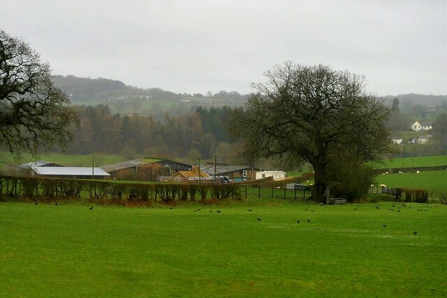
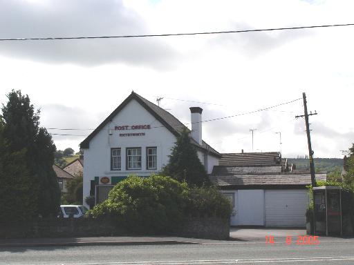
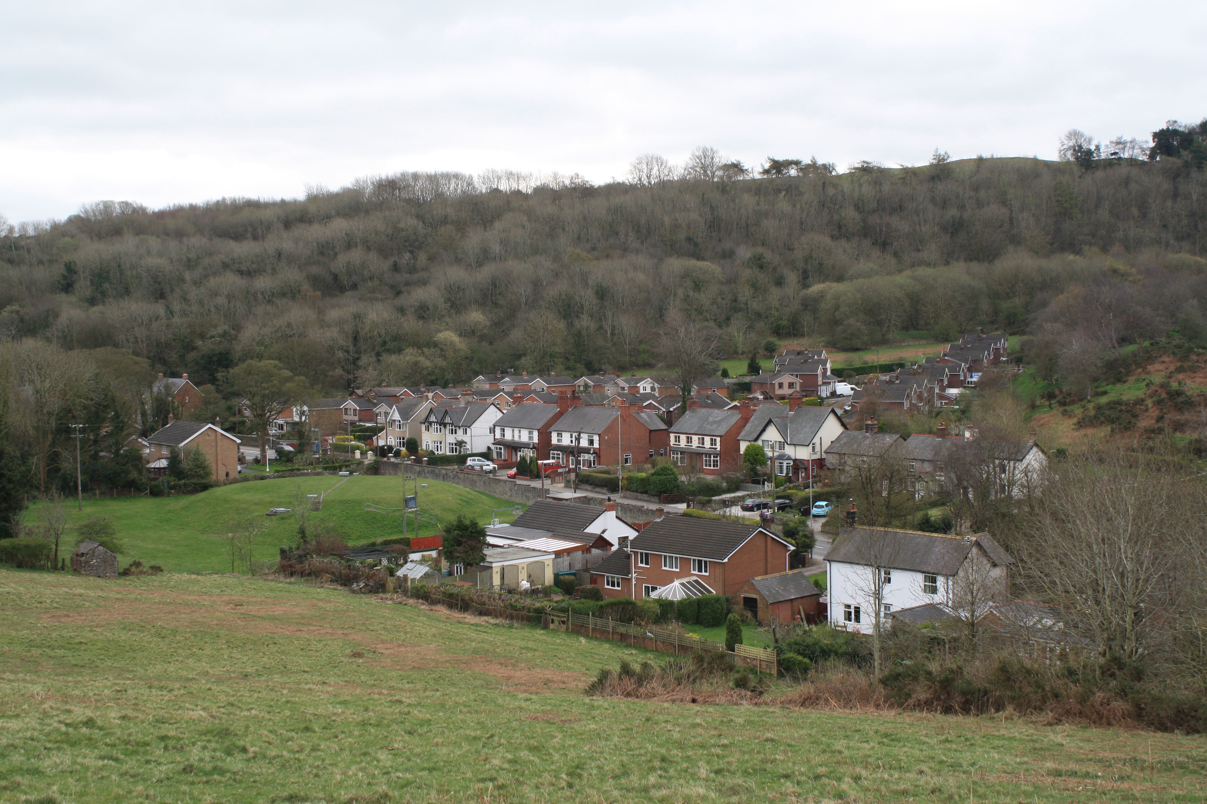
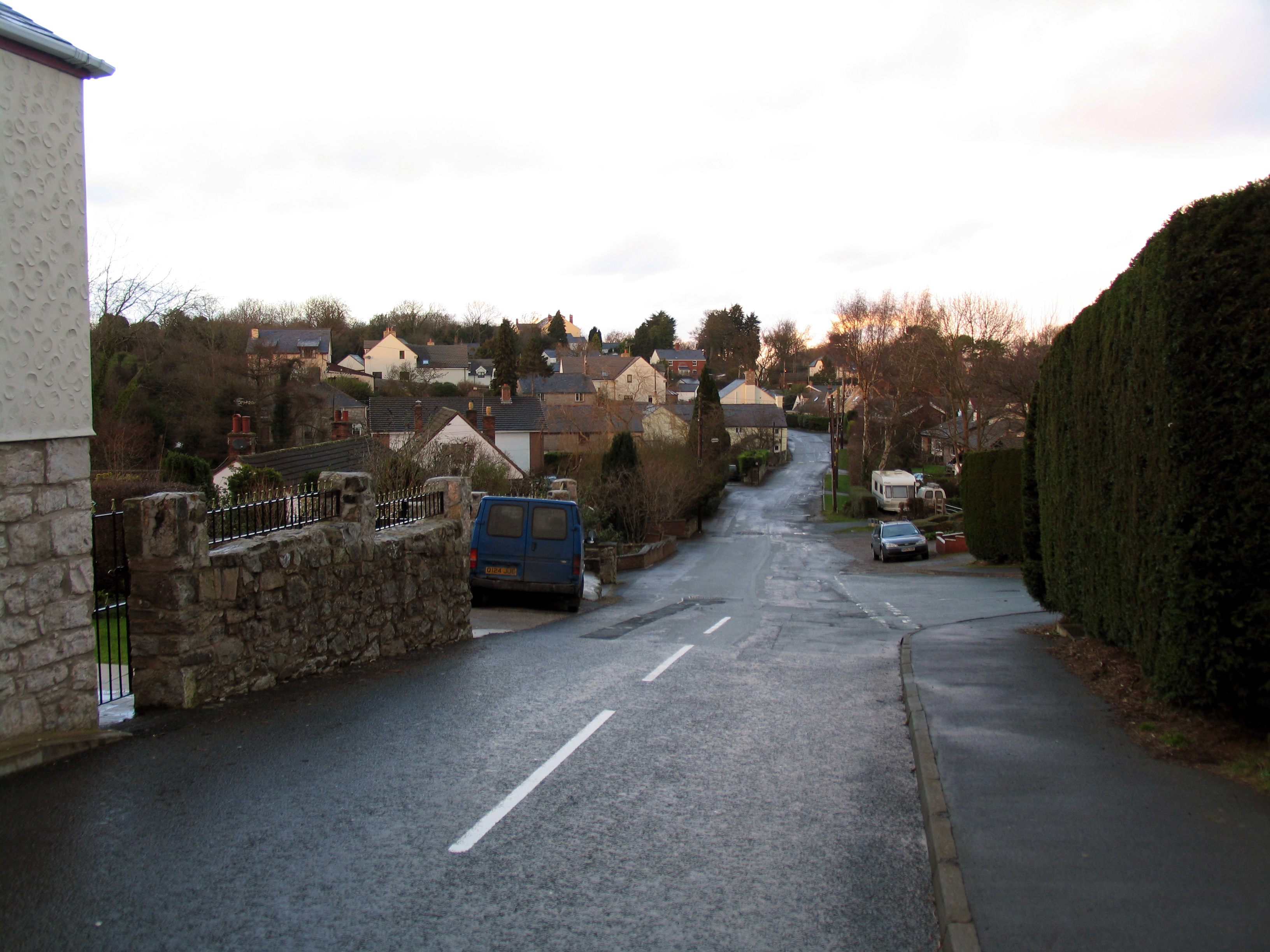
Pant-glas is a small village located in the county of Flintshire, Wales. Situated in the northern part of the country, it is nestled amidst picturesque countryside, offering residents and visitors stunning views of rolling hills and lush green landscapes.

With a population of around 200, Pant-glas is a close-knit community that provides a peaceful and tranquil living environment. The village primarily consists of residential properties, ranging from traditional cottages to modern houses. The architecture reflects the area's rich history, with some buildings dating back several centuries.

Pant-glas benefits from its strategic location, as it is situated just a short distance from the market town of Mold. This proximity allows residents to access a wide range of amenities, including shops, supermarkets, schools, and healthcare facilities.

The village is well-connected in terms of transportation, with good road links to neighboring towns and cities. It is conveniently located near the A541 road, which provides easy access to Mold, Denbigh, and Wrexham. Public transportation options are available for those who prefer not to drive, with regular bus services connecting Pant-glas to nearby towns.

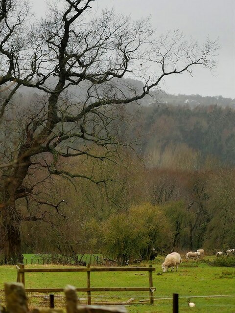
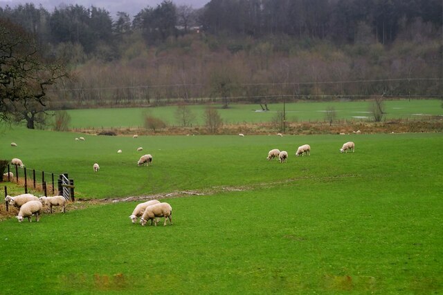
Nature enthusiasts will be delighted by the village's surroundings, as it is located near several beautiful natural attractions. Moel Famau, the highest hill in the Clwydian Range, is just a short drive away, offering breathtaking views and opportunities for hiking and outdoor activities.

In conclusion, Pant-glas is a charming village in Flintshire that offers a peaceful lifestyle, beautiful scenery, and convenient access to amenities. Its close proximity to Mold and natural attractions make it an attractive place to live or visit.

If you have any feedback on the listing, please let us know in the comments section below.
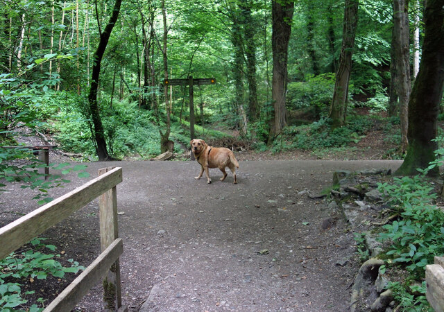
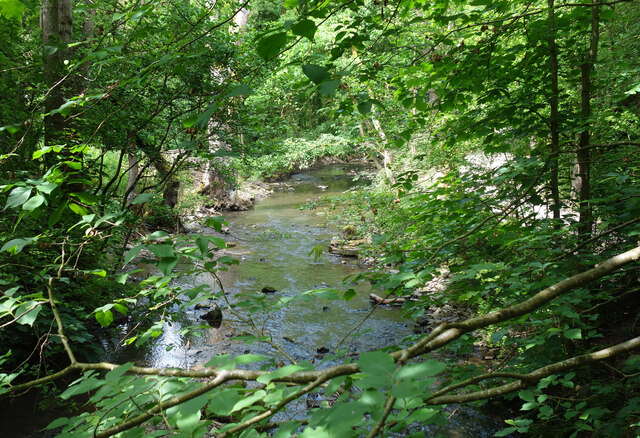
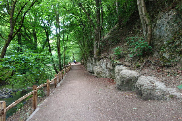
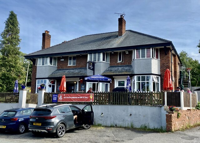
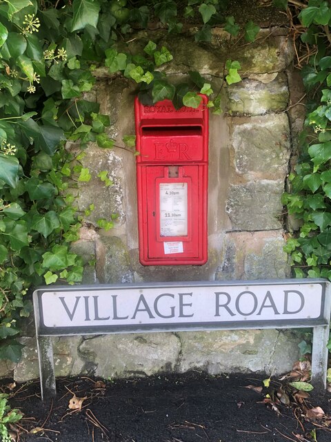
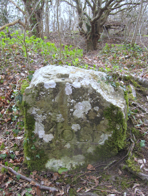
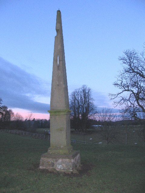
Pant-glas Images

Images are sourced within 2km of 53.168496/-3.181303 or Grid Reference SJ2164. Thanks to Geograph Open Source API. All images are credited.

Dog on the Trail Waiting for his people to catch up and decide which way they are going.
Loggerheads Country Park.
Dog on the Trail
Waiting for his people to catch up and decide which way they are going. Loggerheads Country Park.
River Alyn in Loggerheads Park The river flows past limestone cliffs in a beautiful woodland setting.
River Alyn in Loggerheads Park
The river flows past limestone cliffs in a beautiful woodland setting.
Riverside Path, Loggerheads Park Sandwiched between the River Alyn on one side and steep limestone crags on the other.
Riverside Path, Loggerheads Park
Sandwiched between the River Alyn on one side and steep limestone crags on the other.
The Crown Inn, Pantymwyn
Farm near Mold
Farm near Mold
Sheep Grazing in a Field off the A541 near Mold Sheep grazing unperturbed by Storm Eunice.
Sheep Grazing in a Field off the A541 near Mold
Sheep grazing unperturbed by Storm Eunice.
Sheep Grazing near Mold
Old road before the roundabout on Gwernymynydd Road This section of the old road has been closed off at both ends so is not really a lay-by
Old road before the roundabout on Gwernymynydd Road
This section of the old road has been closed off at both ends so is not really a lay-by
Milestone on the A494 on the east side of Gwernymynydd Part of the inscription can just be made out on the bottom right, but most is buried.
Milestone on the A494 on the east side of Gwernymynydd
Part of the inscription can just be made out on the bottom right, but most is buried.
Wall-mounted postbox at Gwernymynydd
Fron Hall Lodge
Fron Hall Lodge
Oddity at Gwernymynydd A pump or tap?
Oddity at Gwernymynydd
A pump or tap?
Post-mounted postbox at Gwernymynydd Near Eagles & Crawford depot
Post-mounted postbox at Gwernymynydd
Near Eagles & Crawford depot
Small housing development On the site of the old Rainbow Inn
Small housing development
On the site of the old Rainbow Inn
Wall-mounted postbox at Cadole
Victorian letterbox in Church Lane, Gwernaffield, Flintshire A fine Victorian wall box with an enlarged opening set in a wall close to the Hand Inn, Gwernaffield.

Maker:-
W T Allen & Co London

Reference: CH7 20

Unfortunately 'Lost' between 2012 and 2016.
Victorian letterbox in Church Lane, Gwernaffield, Flintshire
A fine Victorian wall box with an enlarged opening set in a wall close to the Hand Inn, Gwernaffield. Maker:- W T Allen & Co London Reference: CH7 20 Unfortunately 'Lost' between 2012 and 2016.
'Mold' boundary stone and a rivet bench mark This old boundary stone has the name 'MOLD' on the dressed face, but the back of the stone is just rough cut. A rivet bench mark has been cut into the top edge of the stone and this is recorded on the 1878 O.S. map levelled at 804.8 feet. This stone is very close to the popular viewing area high above Loggerheads, but is about three metres off the track - see <a href="https://www.geograph.org.uk/photo/2331859">SJ1962 : Track to Loggerheads viewing point</a>. Another similar boundary stone, without a bench mark, is adjacent to the track, and is more obvious, about 50 metres east of this one.

Milestone Society National ID: FLT_MOLD03pb
'Mold' boundary stone and a rivet bench mark
This old boundary stone has the name 'MOLD' on the dressed face, but the back of the stone is just rough cut. A rivet bench mark has been cut into the top edge of the stone and this is recorded on the 1878 O.S. map levelled at 804.8 feet. This stone is very close to the popular viewing area high above Loggerheads, but is about three metres off the track - see SJ1962 : Track to Loggerheads viewing point. Another similar boundary stone, without a bench mark, is adjacent to the track, and is more obvious, about 50 metres east of this one. Milestone Society National ID: FLT_MOLD03pb
Track to Loggerheads viewing point Just ahead the track through the woods opens out onto an expansive viewing point on the limestone cliffs high above Loggerheads. On the far left of the photo is a 'MOLD' boundary stone, which has a rivet bench mark <a href="https://www.geograph.org.uk/photo/2331833">SJ1962 : 'Mold' boundary stone and a rivet bench mark</a>.
Track to Loggerheads viewing point
Just ahead the track through the woods opens out onto an expansive viewing point on the limestone cliffs high above Loggerheads. On the far left of the photo is a 'MOLD' boundary stone, which has a rivet bench mark SJ1962 : 'Mold' boundary stone and a rivet bench mark.
Show me another place!

Pant-glas is located at Grid Ref: SJ2164 (Lat: 53.168496, Lng: -3.181303)

Unitary Authority: Flintshire

Police Authority: North Wales

What 3 Words

///internet.exclusive.join. Near Mold, Flintshire

Nearby Locations

Pant-glas The Grove

Related Wikis

Gwernaffield

Gwernaffield (Welsh: Y Waun), also known as Gwernaffield-y-Waun, is a village and electoral ward in Flintshire, Wales. It lies about three miles west of...

Gwernaffield with Pantymwyn

Gwernaffield with Pantymwyn is a community in Flintshire, Wales with a population of 1942 as of the 2011 UK census. It includes the villages of Gwernaffield...

Rhydymwyn

Rhydymwyn (Welsh for 'Ford of the Ore') is a village in Flintshire, Wales, located in the upper Alyn valley. Once a district of Mold, it was recognised...

Cadole

Cadole is a village in Flintshire, Wales. It lies west of Gwernymynydd and Mold (Yr Wyddgrug), south of Gwernaffield and to the east of the Clwydian Range...

Gwernymynydd

Gwernymynydd (Welsh for 'Alder trees on the mountain') is a village outside the market town of Mold in Flintshire, Wales. It forms part of the Gwernymynydd...

Pantymwyn

Pantymwyn is a small village just outside Mold in Flintshire, Wales, in the community of Gwernaffield with Pantymwyn. The village is located within the...

M. S. Factory, Valley

The M.S. (Ministry of Supply) Factory, Valley was a Second World War site in Rhydymwyn, Flintshire, Wales, that was used for the storage and production...

Loggerheads Country Park

Loggerheads Country Park is a country park in the village of Loggerheads, Denbighshire, Wales. The park has a wooded river valley that follows the course...

Nearby Amenities

Located within 500m of 53.168496,-3.181303
Power: pole
Lat/Long: 53.1666493/-3.1877947
Power: pole
Lat/Long: 53.1727108/-3.1823632
Power: pole
Lat/Long: 53.1715308/-3.1823713
Power: pole
Lat/Long: 53.1708105/-3.1823713
Power: pole
Lat/Long: 53.1702686/-3.1835353
Power: pole
Lat/Long: 53.1697236/-3.1847316
Power: pole
Lat/Long: 53.1692251/-3.1858581
Power: pole
Lat/Long: 53.1688875/-3.1866547
Power: pole
Lat/Long: 53.1682476/-3.1881219
Barrier: stile
Foot: yes
Material: wood
Stile: stepover
Lat/Long: 53.1686378/-3.1845339
Barrier: stile
Foot: yes
Material: wood
Stile: stepover
Lat/Long: 53.1690692/-3.1859021
Barrier: stile
Foot: yes
Material: wood
Stile: stepover
Lat/Long: 53.1696181/-3.1869624
Barrier: stile
Foot: yes
Material: stone
Stile: stepover
Lat/Long: 53.1685957/-3.1834817
Barrier: stile
Foot: yes
Material: wood
Stile: stepover
Lat/Long: 53.165952/-3.1839489
Barrier: stile
Foot: yes
Material: wood
Stile: stepover
Lat/Long: 53.16678/-3.1849468
Barrier: stile
Foot: yes
Material: wood
Stile: stepover
Lat/Long: 53.1672789/-3.1850031
Barrier: kissing_gate
Foot: yes
Material: metal
Lat/Long: 53.1648804/-3.1832561
Direction: 275
Generator Method: photovoltaic
Generator Output Electricity: yes
Generator Solar Modules: 16
Generator Source: solar
Generator Type: solar_photovoltaic_panel
Location: roof
Power: generator
Lat/Long: 53.1698771/-3.1879073
Direction: 95
Generator Method: photovoltaic
Generator Output Electricity: yes
Generator Solar Modules: 17
Generator Source: solar
Generator Type: solar_photovoltaic_panel
Location: roof
Power: generator
Lat/Long: 53.1697477/-3.1883258
Direction: 95
Generator Method: photovoltaic
Generator Output Electricity: yes
Generator Solar Modules: 10
Generator Source: solar
Generator Type: solar_photovoltaic_panel
Location: roof
Power: generator
Lat/Long: 53.1708185/-3.1875184
Direction: 275
Generator Method: photovoltaic
Generator Output Electricity: yes
Generator Solar Modules: 10
Generator Source: solar
Generator Type: solar_photovoltaic_panel
Location: roof
Power: generator
Lat/Long: 53.1708185/-3.187566
The data included in this document is from www.openstreetmap.org. The data is made available under ODbL.

Have you been to Pant-glas?

Leave your review of Pant-glas below (or comments, questions and feedback).