Panborough

Settlement in Somerset Sedgemoor

England

Panborough

White's Drove Followed by Restricted Byway WS 5/19, with overhanging ashes and other trees. Seen from where it leaves North Chine Drove.
White's Drove Credit: Derek Harper

Panborough is a small village located in the beautiful county of Somerset, England. Situated just two miles southwest of the town of Wells, Panborough is nestled amidst picturesque countryside, offering its residents and visitors a tranquil and idyllic setting.

The village itself is known for its charming and traditional houses, built with local stone, which adds to its rustic and quintessential English village appeal. The village is home to a close-knit community, fostering a warm and friendly atmosphere. The local church, St. Michael and All Angels, is a prominent feature of the village and serves as a place of worship for residents.

Despite its small size, Panborough boasts a range of amenities to cater to the needs of its residents. These include a local pub, The Panborough Inn, where locals and visitors can enjoy a drink or a meal in a traditional setting. There is also a village hall, which hosts various community events and activities throughout the year.

The surrounding countryside offers ample opportunities for outdoor activities and exploration. The Mendip Hills, an Area of Outstanding Natural Beauty, are just a stone's throw away, providing stunning vistas and a wealth of walking and hiking trails. Additionally, the nearby city of Wells offers a range of cultural and historical attractions, including its famous cathedral and Bishop's Palace.

With its charming character and beautiful surroundings, Panborough is a hidden gem in the heart of Somerset, offering a peaceful and picturesque retreat for both residents and visitors alike.

If you have any feedback on the listing, please let us know in the comments section below.
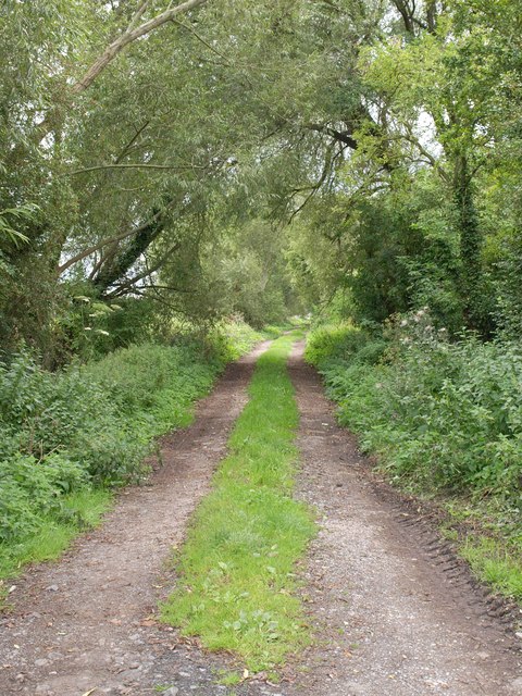
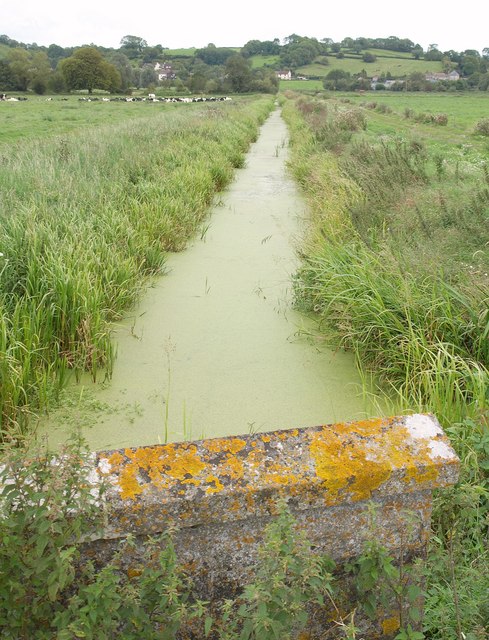
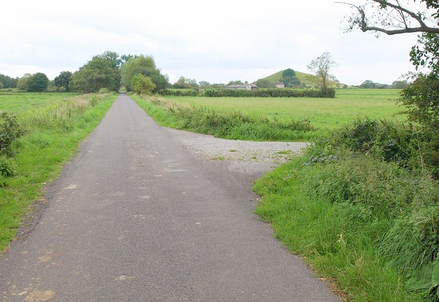
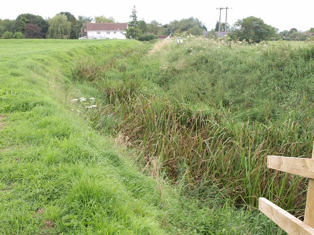
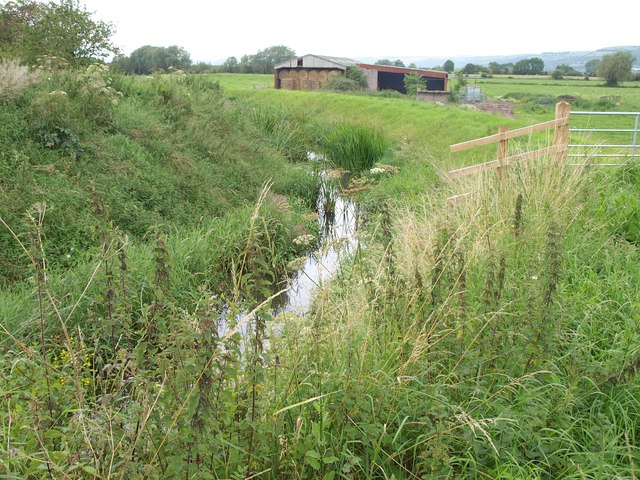
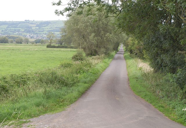
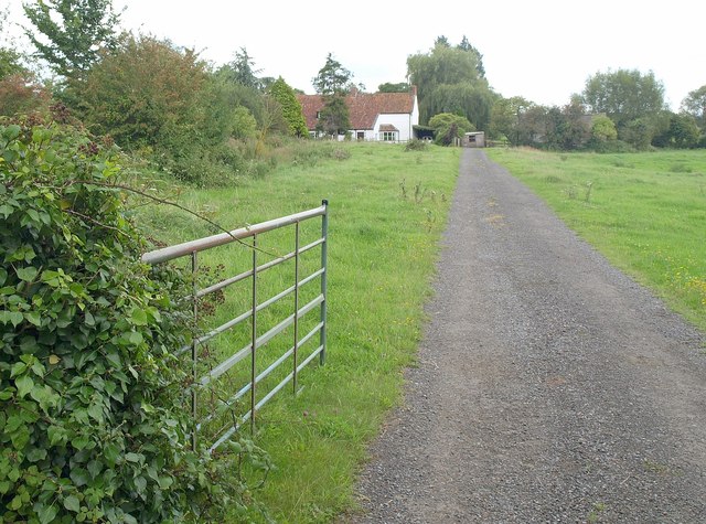
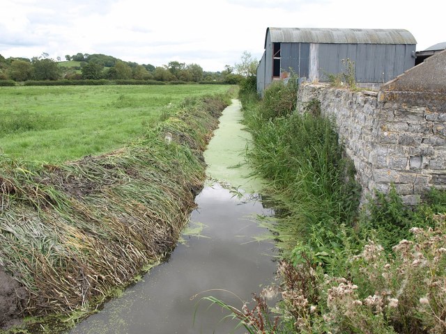
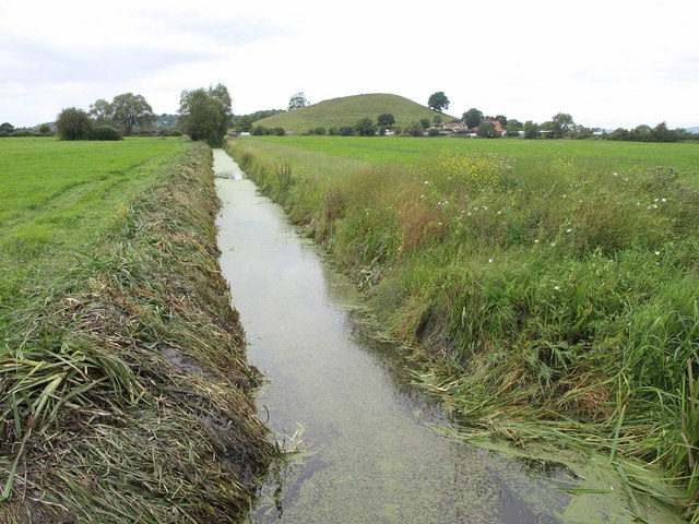
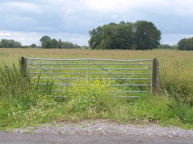
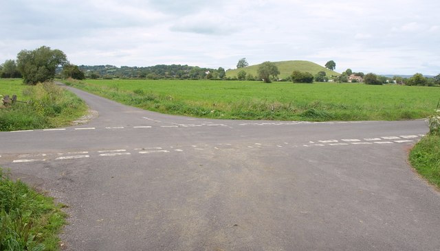
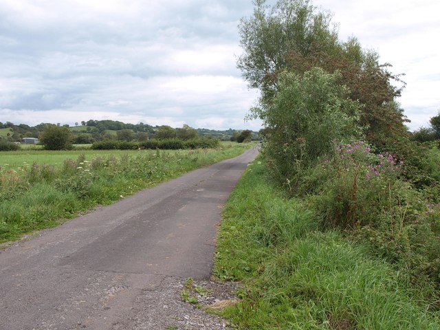
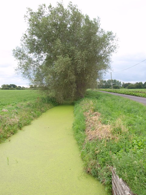
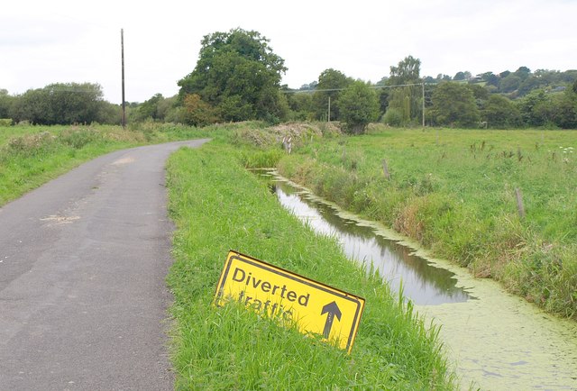
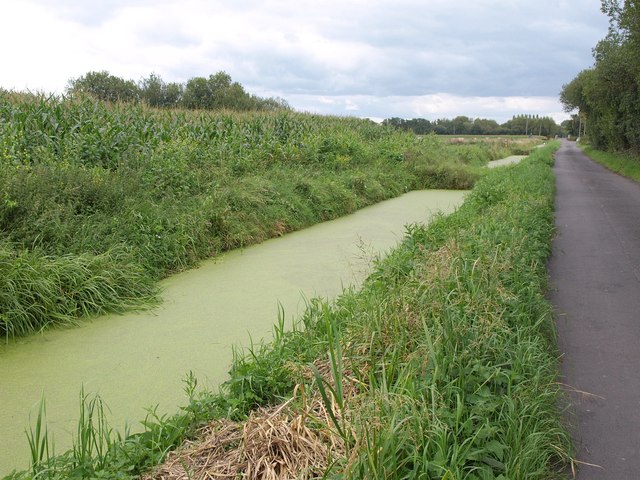
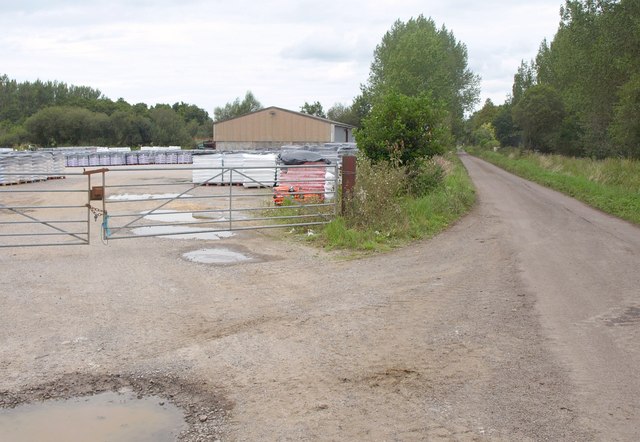
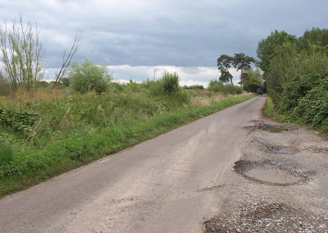
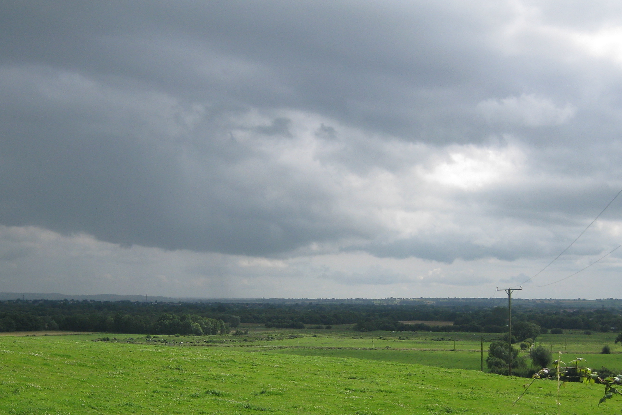
Panborough Images

Images are sourced within 2km of 51.207436/-2.758195 or Grid Reference ST4745. Thanks to Geograph Open Source API. All images are credited.

White's Drove Followed by Restricted Byway WS 5/19, with overhanging ashes and other trees. Seen from where it leaves North Chine Drove.
White's Drove
Followed by Restricted Byway WS 5/19, with overhanging ashes and other trees. Seen from where it leaves North Chine Drove.
Webb's Rhyne <a href="https://www.geograph.org.uk/photo/95493">ST4846 : Knowle Moor</a> shows the rhyne looking in the other direction from Knowle Moor Drove, on a rather lovelier day. Set against the western end of Yarley Hill in the background is part of the village of Bleadney, in <a href="https://www.geograph.org.uk/gridref/ST4846">ST4846</a>.
Webb's Rhyne
ST4846 : Knowle Moor shows the rhyne looking in the other direction from Knowle Moor Drove, on a rather lovelier day. Set against the western end of Yarley Hill in the background is part of the village of Bleadney, in ST4846.
Knowle Moor Drove The drove runs dead straight for nearly two kilometres; this view from the junction with Marchey Drove, looks along the southwestern 450 metres of that stretch. On the right, partly hidden by a tree, is Barrow Hill.
Knowle Moor Drove
The drove runs dead straight for nearly two kilometres; this view from the junction with Marchey Drove, looks along the southwestern 450 metres of that stretch. On the right, partly hidden by a tree, is Barrow Hill.
Lower River Axe The river, really a former irrigation channel and millstream, flows (there's water in there somewhere) towards the camera heading for Panborough Moor, where it meets the real River Axe. In the background is Scotland House. View from Knowle Moor Drove.
Lower River Axe
The river, really a former irrigation channel and millstream, flows (there's water in there somewhere) towards the camera heading for Panborough Moor, where it meets the real River Axe. In the background is Scotland House. View from Knowle Moor Drove.
Lower River Axe See <a href="https://www.geograph.org.uk/photo/2588558">ST4845 : Lower River Axe</a>; this view, looking downstream from the same spot, demonstrates there is water in the channel.
Lower River Axe
See ST4845 : Lower River Axe; this view, looking downstream from the same spot, demonstrates there is water in the channel.
Knowle Moor Drove Looking along the start of the straight stretch of the drove described in <a href="https://www.geograph.org.uk/photo/2588503">ST4845 : Knowle Moor Drove</a>, from the same spot as <a href="https://www.geograph.org.uk/photo/2588558">ST4845 : Lower River Axe</a> and <a href="https://www.geograph.org.uk/photo/2588604">ST4845 : Lower River Axe</a>, with the Mendips across the levels on the left.
Knowle Moor Drove
Looking along the start of the straight stretch of the drove described in ST4845 : Knowle Moor Drove, from the same spot as ST4845 : Lower River Axe and ST4845 : Lower River Axe, with the Mendips across the levels on the left.
Reed Farm Looking up the drive to the farm from the B3139.
Reed Farm
Looking up the drive to the farm from the B3139.
Rhyne near Bleadney A view from Tilley's Drove along a rhyne past some farm buildings.
Rhyne near Bleadney
A view from Tilley's Drove along a rhyne past some farm buildings.
Rhyne near Bleadney Looking in the other direction from the spot where <a href="https://www.geograph.org.uk/photo/2588714">ST4745 : Rhyne near Bleadney</a> was taken, on the other side of Tilley's Drove. Ahead is <a href="https://www.geograph.org.uk/photo/93989">ST4745 : Panborough Hill</a> - mapped as Barrow Hill - with Barrow House Farm at its foot.
Rhyne near Bleadney
Looking in the other direction from the spot where ST4745 : Rhyne near Bleadney was taken, on the other side of Tilley's Drove. Ahead is ST4745 : Panborough Hill - mapped as Barrow Hill - with Barrow House Farm at its foot.
Gate and field, Yeap's Drove <a href="https://www.geograph.org.uk/photo/89431">ST4844 : The Road down to Godney</a> was taken further down this road to the left. This looks across it and across a meadow beyond. The prominent clump of trees and the distant Brook Farm to its left are both in <a href="https://www.geograph.org.uk/gridref/ST4744">ST4744</a>.
Gate and field, Yeap's Drove
ST4844 : The Road down to Godney was taken further down this road to the left. This looks across it and across a meadow beyond. The prominent clump of trees and the distant Brook Farm to its left are both in ST4744.
Crossroads on the levels Yeap's Drove gives way to Tilley's Drove. Ahead is Barrow Hill, in <a href="https://www.geograph.org.uk/gridref/ST4745">ST4745</a>.
Crossroads on the levels
Yeap's Drove gives way to Tilley's Drove. Ahead is Barrow Hill, in ST4745.
North Chine Drove A lane across the levels, with Yarley Hill visible ahead.
North Chine Drove
A lane across the levels, with Yarley Hill visible ahead.
Panborough Drain Diversion Seen from North Chine Drove; on the right is Lewis's Drove.
Panborough Drain Diversion
Seen from North Chine Drove; on the right is Lewis's Drove.
North Chine Drove and Rhyne This is taken from the same junction as <a href="https://www.geograph.org.uk/photo/2588921">ST4645 : Panborough Drain Diversion</a>, and it look as if traffic is being encouraged to divert, not into Panborough Drain Diversion, but into the unnamed rhyne alongside the drove.
North Chine Drove and Rhyne
This is taken from the same junction as ST4645 : Panborough Drain Diversion, and it look as if traffic is being encouraged to divert, not into Panborough Drain Diversion, but into the unnamed rhyne alongside the drove.
Panborough Drain Diversion The rhyne runs beside Lewis's Drove, here approaching Laurel Farm. I fell off the bike here; look, I hadn't ridden one for thirteen years, okay? Luckily I didn't end up in the rhyne. Maize on the left.
Panborough Drain Diversion
The rhyne runs beside Lewis's Drove, here approaching Laurel Farm. I fell off the bike here; look, I hadn't ridden one for thirteen years, okay? Luckily I didn't end up in the rhyne. Maize on the left.
Works by Lewis's Drove Part of a peat works north of the junction with Westhay Moor Drove.
Works by Lewis's Drove
Part of a peat works north of the junction with Westhay Moor Drove.
Lewis's Drove Looking in the other direction from the spot where <a href="https://www.geograph.org.uk/photo/2589308">ST4643 : Works by Lewis's Drove</a> was taken. A tractor and trailer from the peat works has just reached the T-junction with Westhay Moor Drove near the pine trees.
Lewis's Drove
Looking in the other direction from the spot where ST4643 : Works by Lewis's Drove was taken. A tractor and trailer from the peat works has just reached the T-junction with Westhay Moor Drove near the pine trees.
North Drain, Westhay Moor
Show me another place!

Panborough is located at Grid Ref: ST4745 (Lat: 51.207436, Lng: -2.758195)

Administrative County: Somerset

District: Sedgemoor

Police Authority: Avon and Somerset

What 3 Words

///agenda.slept.likening. Near Wedmore, Somerset

Related Wikis

Christ Church, Theale

Christ Church is a Church of England church in Theale, Somerset, England. It was built in 1826–28 to the design of Richard Carver and is a Grade II listed...

Westhay Moor

Westhay Moor (sometimes, historically, referred to as West Hay Moor) is a 513.7-hectare (1,269-acre) biological Site of Special Scientific Interest 2.5...

Galton's Canal

Galton's Canal was a 1-mile 3 furlong (2.2 km) canal with one lock, crossing Westhay Moor in Somerset, England, and connecting the River Brue to the North...

Godney

Godney is a village and civil parish near Glastonbury on the River Sheppey on the Somerset Levels in the Mendip district of Somerset, England. == History... ==

Nearby Amenities

Located within 500m of 51.207436,-2.758195
Panborough
Created By: Potlatch 0.10f
Place: hamlet
Source: New Popular Edition
Wikidata: Q29982496
Lat/Long: 51.2076454/-2.7577581
Barrow Hill
Place: locality
Source: OS OpenData StreetView
Lat/Long: 51.2061781/-2.7533042
Pub
The Panborough In
Lat/Long: 51.2072773/-2.7580181
Ford: yes
Lat/Long: 51.2113479/-2.7565911
Ford: yes
Lat/Long: 51.2113479/-2.7565911
Post Box
Mapillary: 795083802623181
Operator: Royal Mail
Operator Wikidata: Q638098
Post Box Mounting: pier
Post Box Type: lamp
Lat/Long: 51.2073747/-2.7582701
The data included in this document is from www.openstreetmap.org. The data is made available under ODbL.

Have you been to Panborough?

Leave your review of Panborough below (or comments, questions and feedback).