Billesley
Settlement in Worcestershire
England
Billesley

Billesley is a village located in Worcestershire, England. It lies approximately 4 miles southeast of the town of Alcester and around 10 miles south of the city of Birmingham. With a population of just over 1,000 residents, Billesley is a small but tight-knit community.
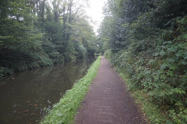
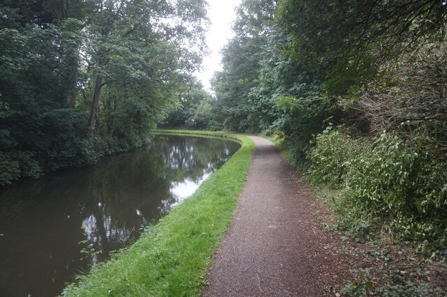
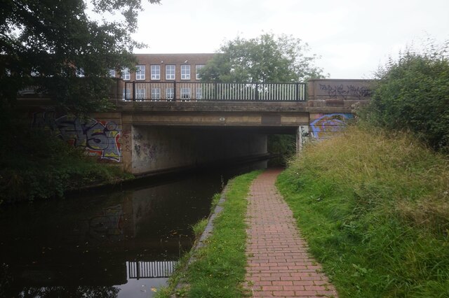
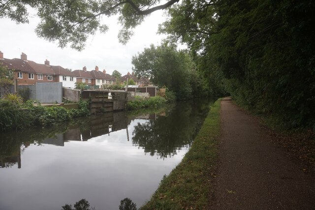
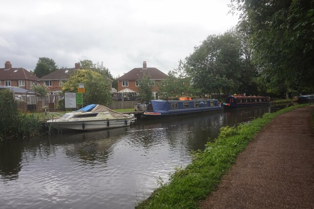
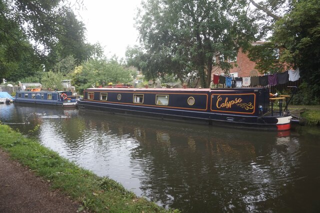
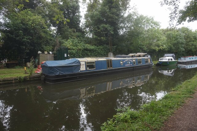
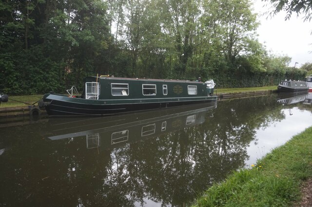
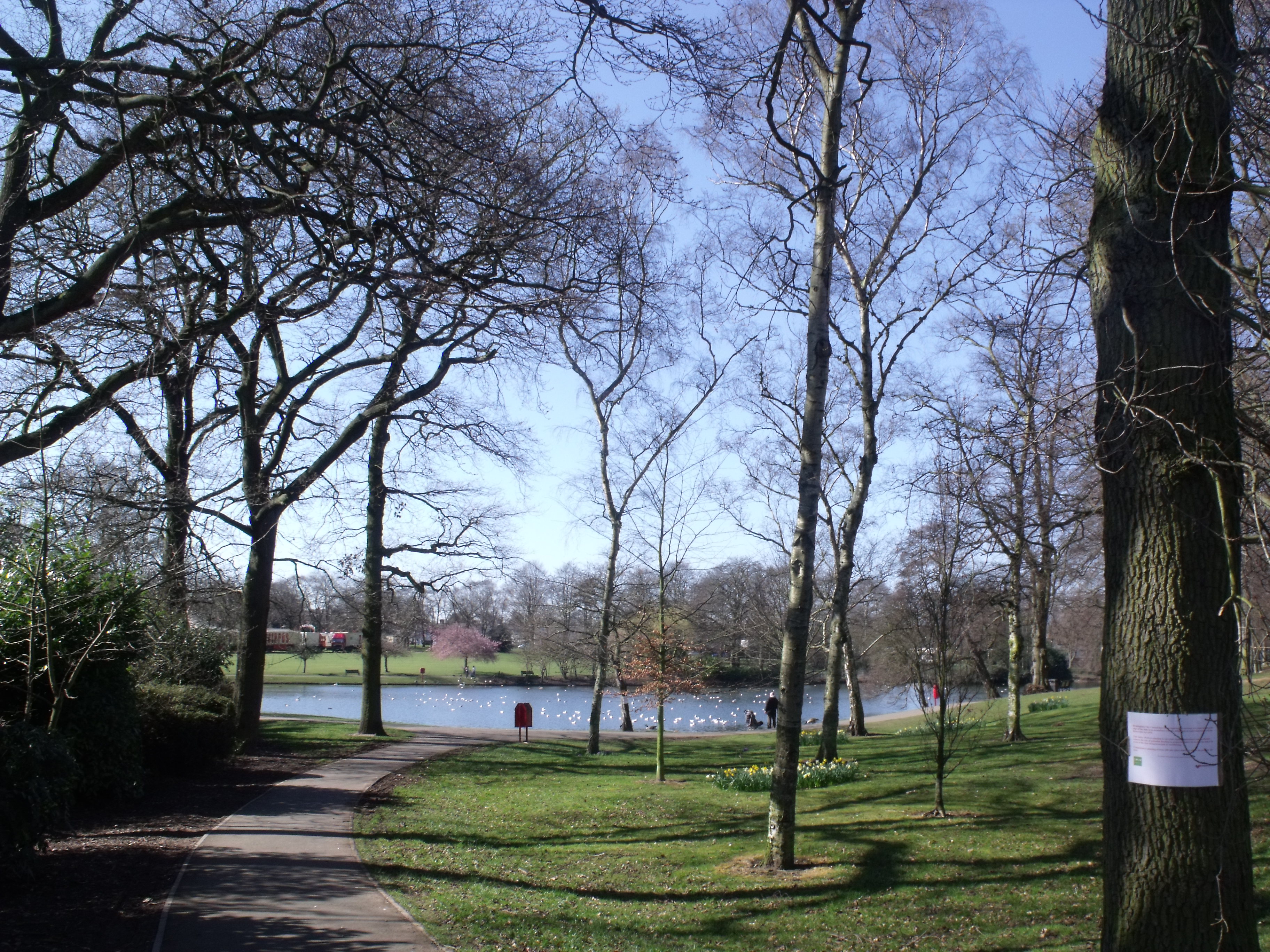
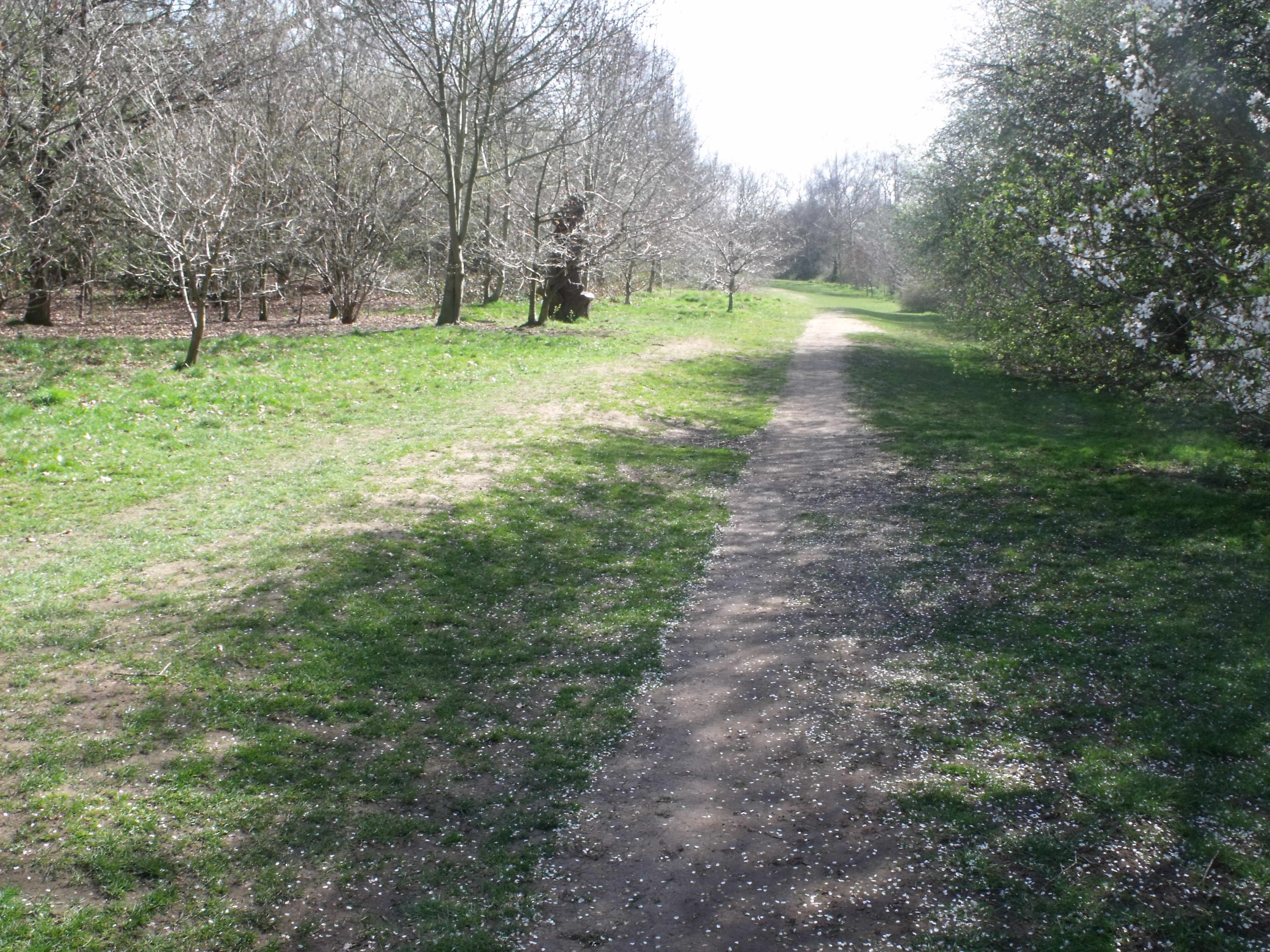
The village is characterized by its picturesque countryside setting, with rolling hills, expansive fields, and charming rural landscapes. The area is known for its natural beauty, making it a popular destination for nature enthusiasts and hikers. Billesley is surrounded by several country parks and nature reserves, providing ample opportunities for outdoor activities and leisurely walks.
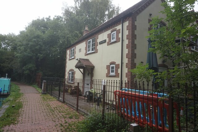
The village itself has a rich history, with evidence of settlement dating back to the Roman era. The historic St. Laurence Church, built in the 13th century, is a notable landmark and serves as a reminder of Billesley's past. The village also features a primary school, a village hall, and a small number of local businesses.
Despite its quiet and rural atmosphere, Billesley benefits from its proximity to larger towns and cities. Residents have easy access to amenities, services, and employment opportunities in nearby Alcester and Birmingham. The village is well-connected by road, with the A435 passing through its southern edge, providing convenient transport links to surrounding areas.
Overall, Billesley offers a peaceful and idyllic lifestyle, combining the tranquility of rural living with the convenience of nearby urban centers. With its natural beauty, strong sense of community, and historical charm, Billesley is a highly sought-after place to live in Worcestershire.
If you have any feedback on the listing, please let us know in the comments section below.
Billesley Images
Images are sourced within 2km of 52.426246/-1.86408 or Grid Reference SP0980. Thanks to Geograph Open Source API. All images are credited.


Billesley is located at Grid Ref: SP0980 (Lat: 52.426246, Lng: -1.86408)
Unitary Authority: Birmingham
Police Authority: West Midlands
What 3 Words
///poker.crate.metals. Near Shirley, West Midlands
Nearby Locations
Related Wikis

Billesley, West Midlands
Billesley is a ward within the council constituency and parliamentary constituency of Selly Oak, Birmingham, England. It is 7 kilometres (4 mi) south of...
Swanshurst Park
Swanshurst Park is a public park in Birmingham, England, that is managed by Birmingham City Council. == Geography == The park is between Moseley and Billesley...
Springfield, Birmingham
Springfield is a ward in south east Birmingham, England, created in 2004 from much of the old Sparkhill ward. It is a part of the formal district of Hall...
Swanshurst School
Swanshurst School is a secondary school and sixth form for girls aged 11 to 19 years, located in Birmingham, England.It is a community school administered...

Yardley Wood railway station
Yardley Wood railway station serves the Yardley Wood area of Birmingham in the West Midlands of England. Located on the North Warwickshire Line, the station...
Shire Country Park
The Shire Country Park (grid reference SP099818) is a country park in the south of Birmingham, England, taking its name from Tolkien's The Shire. It consists...
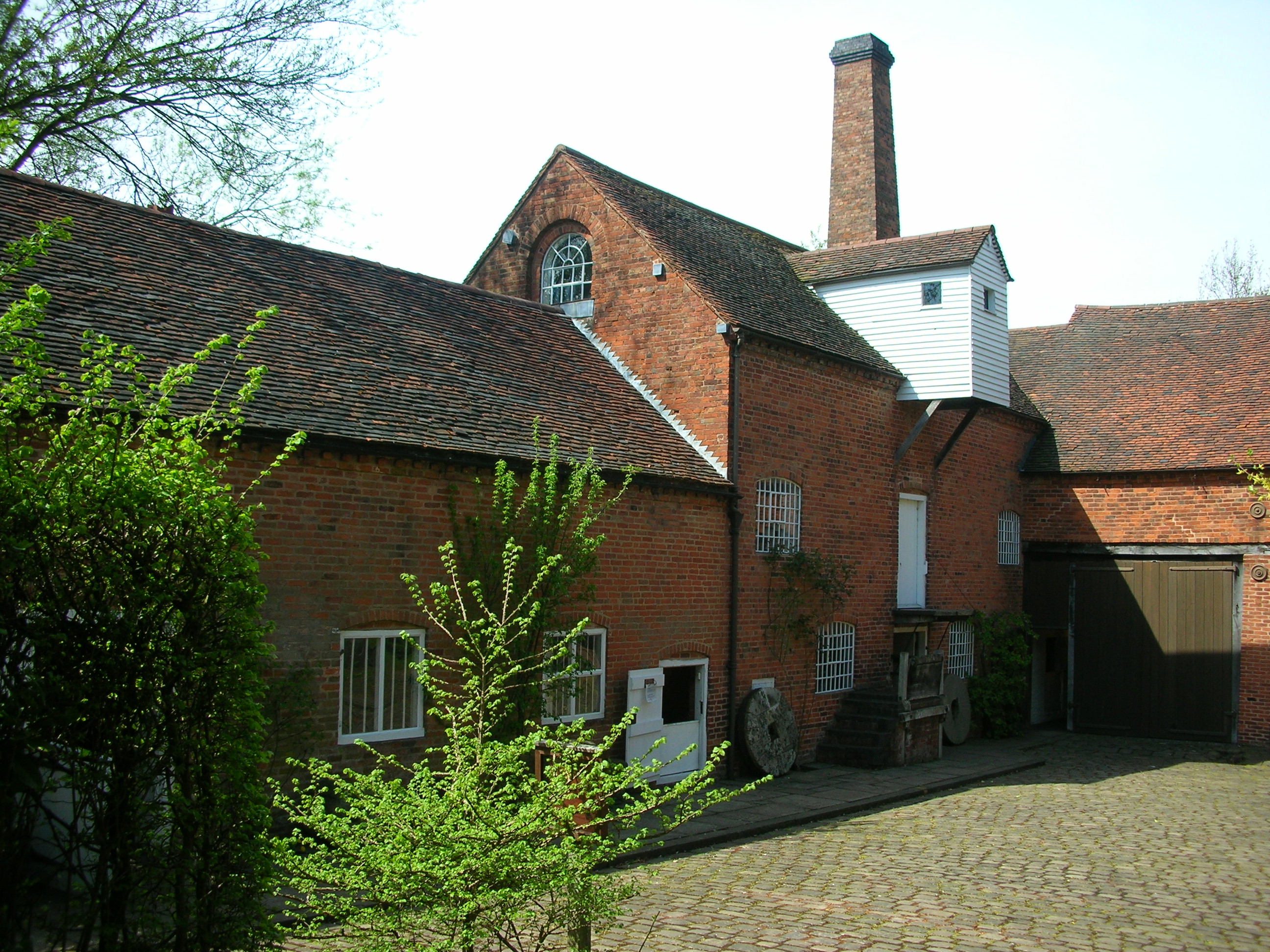
Sarehole Mill
Sarehole Mill is a Grade II listed water mill, in an area once called Sarehole, on the River Cole in Hall Green, Birmingham, England. It is now run as...
John Morris Jones Walkway
John Morris Jones Walkway (grid reference SP099818) is a path on the River Cole in Hall Green, Birmingham, England (in an area once called Sarehole). It...
Nearby Amenities
Located within 500m of 52.426246,-1.86408Have you been to Billesley?
Leave your review of Billesley below (or comments, questions and feedback).