Billericay
Settlement in Essex Basildon
England
Billericay

Billericay is a town located in the county of Essex, England. It lies approximately 30 miles east of London and falls within the Basildon borough. With a population of around 40,000 people, it is a thriving commuter town known for its picturesque surroundings and strong community spirit.
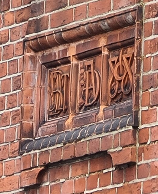
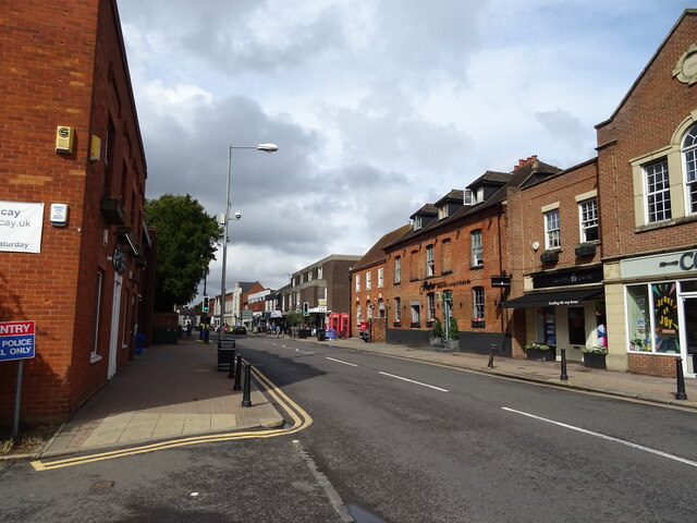
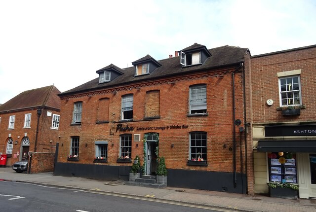
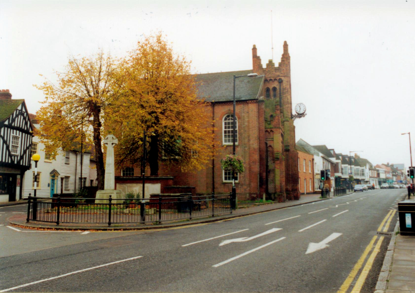
The town boasts a rich history, dating back to the Roman times when a settlement called "Belgicatum" was established. Over the centuries, Billericay grew into an agricultural market town, with a market square that still operates to this day. Its historic charm is evident in the well-preserved buildings, such as the 16th-century Sun Inn and the Georgian-built high street.
Billericay offers a range of amenities and services, including a variety of shops, restaurants, and pubs. The town is also home to several schools, both primary and secondary, making it an attractive place for families. Additionally, the local library and leisure center provide recreational activities for residents.
The town's transport links are excellent, with Billericay railway station offering regular services to London Liverpool Street, making it a popular choice for commuters. The nearby A12 and A127 roads provide easy access to other parts of Essex and beyond.
Surrounded by beautiful countryside, Billericay offers numerous opportunities for outdoor activities. Norsey Wood, a local nature reserve, provides a peaceful escape for nature lovers, while Lake Meadows Park is a popular spot for picnics and leisurely walks.
Overall, Billericay is a vibrant and welcoming town that blends its historic charm with modern amenities, making it an appealing place to live and visit.
If you have any feedback on the listing, please let us know in the comments section below.
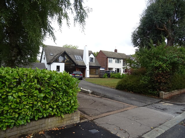
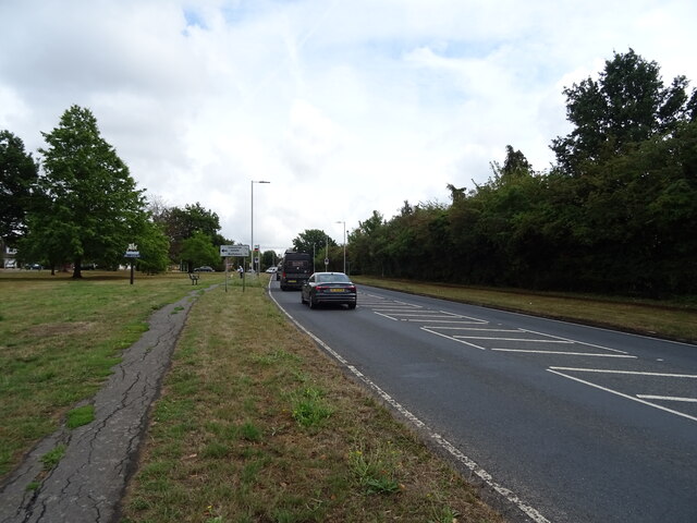
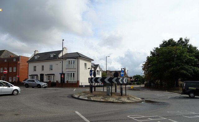
Billericay Images
Images are sourced within 2km of 51.622898/0.422824 or Grid Reference TQ6794. Thanks to Geograph Open Source API. All images are credited.


Billericay is located at Grid Ref: TQ6794 (Lat: 51.622898, Lng: 0.422824)
Administrative County: Essex
District: Basildon
Police Authority: Essex
What 3 Words
///youth.rider.rewarding. Near Billericay, Essex
Nearby Locations
Related Wikis
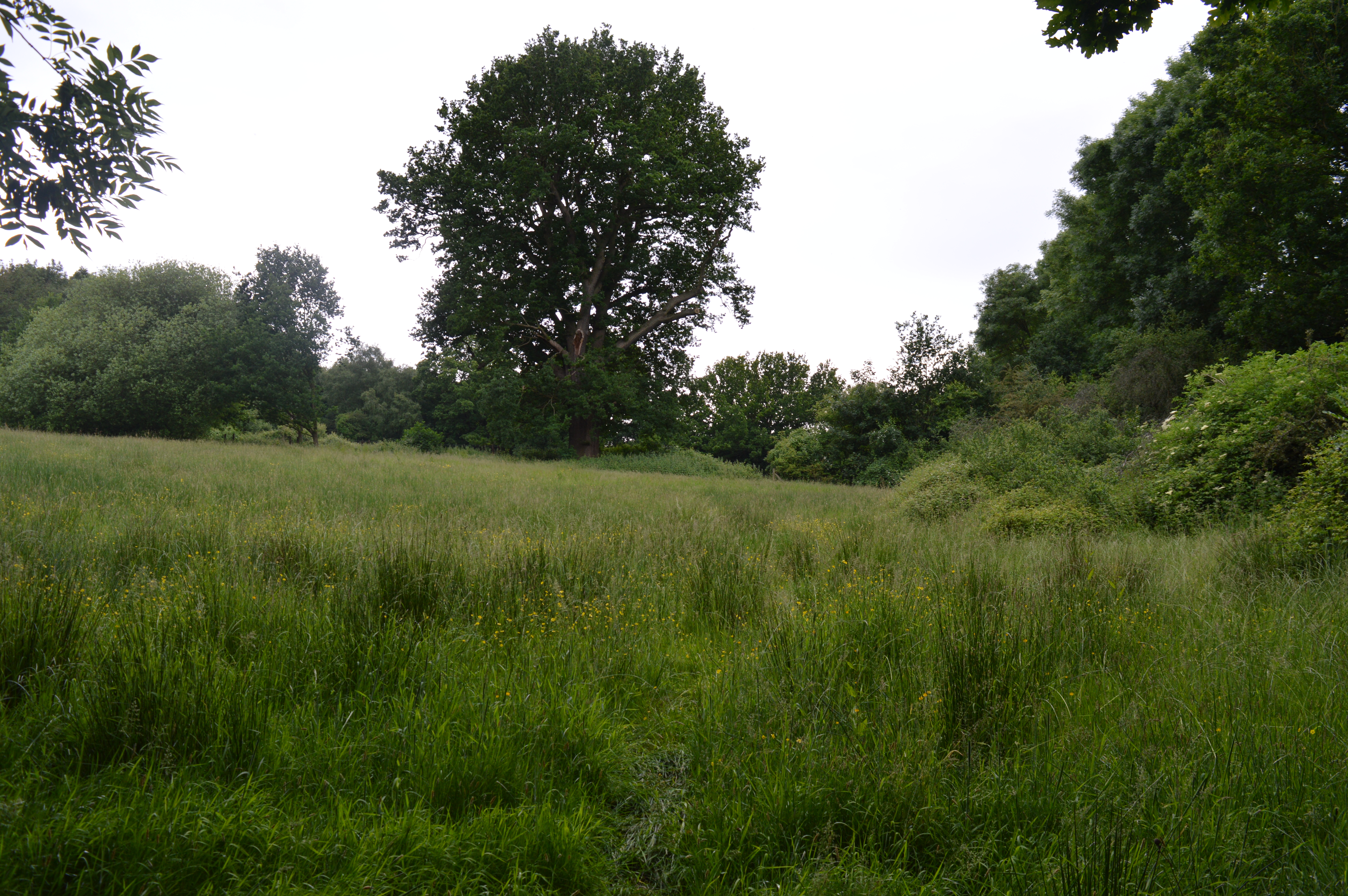
Mill Meadows, Billericay
Mill Meadows, Billericay is a 6.7-hectare (17-acre) biological Site of Special Scientific Interest (SSSI) in Billericay in Essex, England. It is part of...

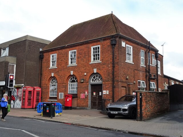
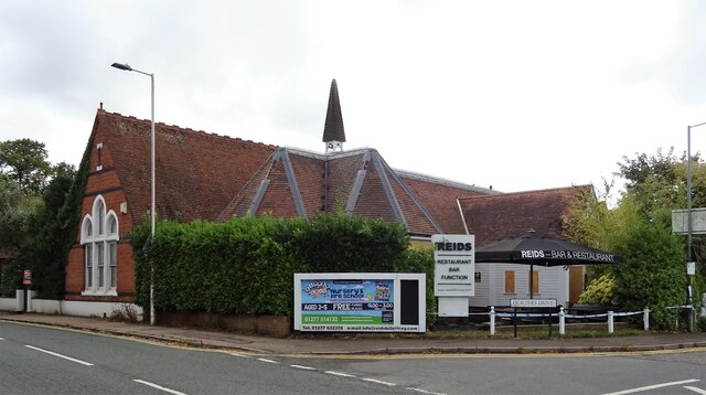
Old Town Hall, Billericay
The Old Town Hall is a municipal building in the High Street, Billericay, Essex, England. The structure, which currently operates as a restaurant, was...

Cater Museum
The Cater Museum is a small local museum in Billericay, Essex county, England. The museum was established by Alice May Cater, in honour of her late husband...

The Billericay School
The Billericay School is an academy secondary school and sixth form college located in Billericay, England. The school is led by headmaster Patrick Berry...
Billericay
Billericay ( BIL-ə-RIK-ee) is a town and civil parish in the Borough of Basildon in Essex, England. It lies within the London Basin and constitutes a...
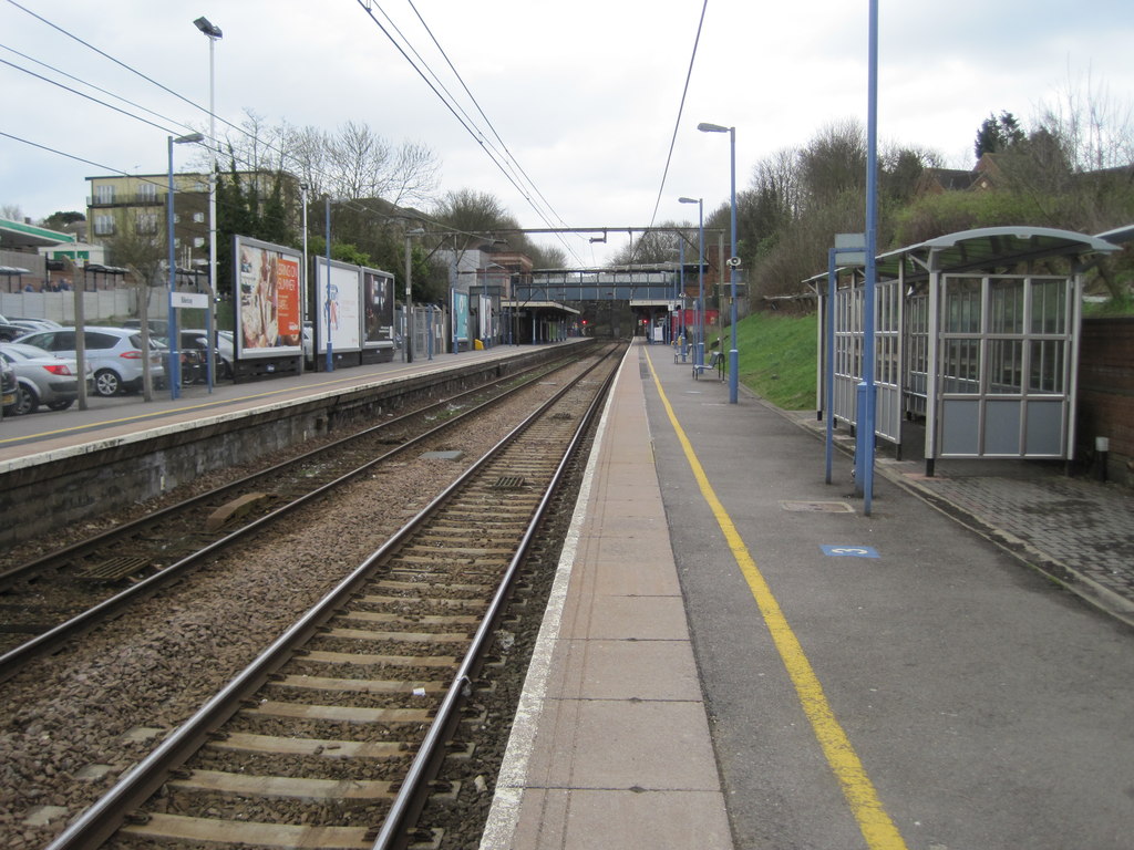
Billericay railway station
Billericay railway station is on the Shenfield to Southend Line in the east of England, serving the town of Billericay in the Basildon district of the...
St John's School, Billericay
St John's School is an independent school in Billericay, Essex for students aged 3–16. The school is split into Kindergarten, Junior and Senior School...

Lake Meadows
Lake Meadows is a park in Billericay, Essex, England. It is the site of many local events, including Billericay Fireworks and small-scale concerts. The...
Nearby Amenities
Located within 500m of 51.622898,0.422824Have you been to Billericay?
Leave your review of Billericay below (or comments, questions and feedback).