Orton

Settlement in Staffordshire South Staffordshire

England

Orton

Two Pylons The view south from the path from Awbridge to Trysull.
Two Pylons Credit: Gordon Griffiths

Orton is a small village located in the county of Staffordshire, England. Situated approximately 3 miles east of Uttoxeter, Orton is a rural community surrounded by picturesque countryside and farmland.

The village itself is characterized by its charming and traditional architecture, with many buildings dating back several centuries. A notable landmark is the St. Wystan's Church, a beautiful medieval church that stands as a testament to the village's rich history.

Orton offers a peaceful and idyllic setting for residents and visitors alike, with its tranquil atmosphere and close-knit community. The village is home to a small but welcoming population, and residents often engage in activities that foster a sense of community spirit.

Despite its small size, Orton benefits from its proximity to larger towns and cities. Uttoxeter, a bustling market town, is just a short drive away and offers a range of amenities such as shops, restaurants, and leisure facilities. The village also benefits from good transport links, with easy access to major roads and nearby train stations.

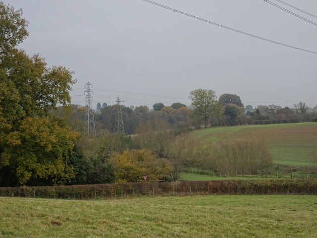
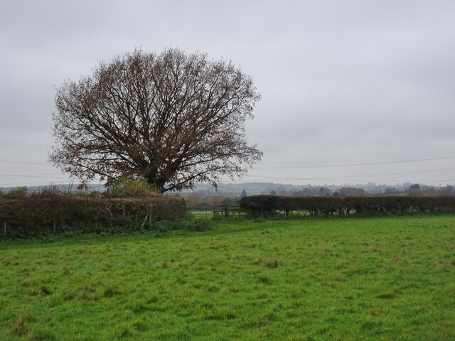
Surrounded by the Staffordshire countryside, Orton is an ideal location for outdoor enthusiasts. The area offers numerous opportunities for walking, cycling, and exploring the natural beauty of the region. Nearby attractions include the picturesque Peak District National Park and the historic Chatsworth House.

Overall, Orton is a charming and peaceful village that provides a close-knit community atmosphere while offering access to larger towns and stunning natural landscapes.

If you have any feedback on the listing, please let us know in the comments section below.
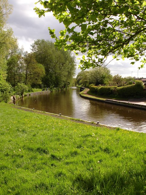
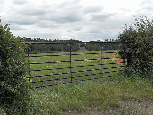
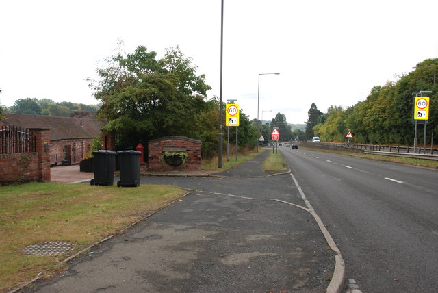
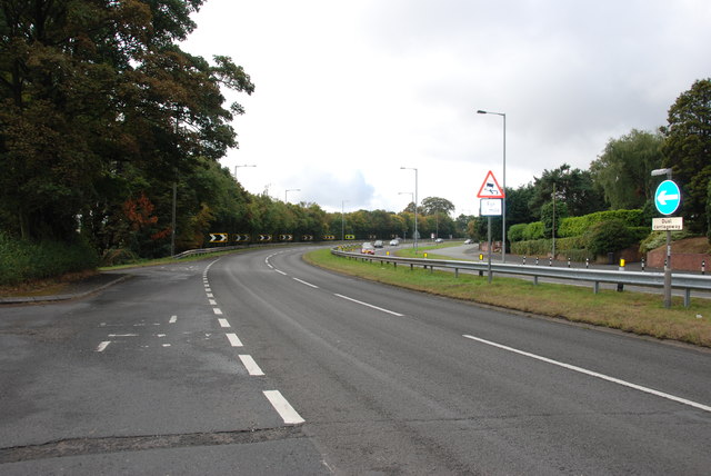
Orton Images

Images are sourced within 2km of 52.554273/-2.1951 or Grid Reference SO8695. Thanks to Geograph Open Source API. All images are credited.

Two Pylons The view south from the path from Awbridge to Trysull.
Two Pylons
The view south from the path from Awbridge to Trysull.
Trysull Bridge The view of Trysull Holloway as it passes over the bridge of the Smestow Brook into the Staffordshire village of Trysull.
Trysull Bridge
The view of Trysull Holloway as it passes over the bridge of the Smestow Brook into the Staffordshire village of Trysull.
Trysull Remembers The view in the Staffordshire village of Trysull.
Trysull Remembers
The view in the Staffordshire village of Trysull.
Hedge Tree The view from the footpath near Bratch Common Road Wombourne.
Hedge Tree
The view from the footpath near Bratch Common Road Wombourne.
Broken Canal Bridge The view of Dimmingsdale Road Bridge over the Staffordshire and Worcestershire Canal in Lower Penn. Another vehicle has demolished the bridge wall.
Broken Canal Bridge
The view of Dimmingsdale Road Bridge over the Staffordshire and Worcestershire Canal in Lower Penn. Another vehicle has demolished the bridge wall.
Approach to Dimmingsdale Lock The view of the Staffordshire and Worcestershire Canal near Lower Penn.
Approach to Dimmingsdale Lock
The view of the Staffordshire and Worcestershire Canal near Lower Penn.
Empty Mooring The view across the Staffordshire and Worcestershire Canal by the Greyhound Kennels near Wombourne.
Empty Mooring
The view across the Staffordshire and Worcestershire Canal by the Greyhound Kennels near Wombourne.
Bratch Scene The view in Wombourne of the Bratch locks on the Staffordshire and Worcestershire Canal.
Bratch Scene
The view in Wombourne of the Bratch locks on the Staffordshire and Worcestershire Canal.
Wombourne Brook The view in Wombourne near the bratch locks on the Staffordshire and Worcestershire Canal.
Wombourne Brook
The view in Wombourne near the bratch locks on the Staffordshire and Worcestershire Canal.
Bratch Locks Plaque recording the refurbishment of the locks
Bratch Locks
Plaque recording the refurbishment of the locks
Below Bratch Locks
Below Bratch Locks
Gated field adjacent the A449
A449 Dual Carriageway, Stourbridge Road Lloyd House Barns are on the left, the barns have been converted to housing.
A449 Dual Carriageway, Stourbridge Road
Lloyd House Barns are on the left, the barns have been converted to housing.
Bend in the Road, A449 This bend has been the scene of many accidents.
Bend in the Road, A449
This bend has been the scene of many accidents.
The trig on Orton Hill Farmland and a trig point beside the bridleway that runs over Orton Hill towards Wombourne.
The trig on Orton Hill
Farmland and a trig point beside the bridleway that runs over Orton Hill towards Wombourne.
The bridleway heading towards Bearnett Farm A good track at this end; it looks like it's used by cars making for a quiet parking spot near the mast in the distance. The track becomes a lot less accessible to cars after that point.
The bridleway heading towards Bearnett Farm
A good track at this end; it looks like it's used by cars making for a quiet parking spot near the mast in the distance. The track becomes a lot less accessible to cars after that point.
Bearnett Farm and an O2 phone mast Bearnett Farm, as marked on the map, actually consists of nothing more than this large barn.
Bearnett Farm and an O2 phone mast
Bearnett Farm, as marked on the map, actually consists of nothing more than this large barn.
Footpath across Orton Hill
Show me another place!

Orton is located at Grid Ref: SO8695 (Lat: 52.554273, Lng: -2.1951)

Administrative County: Staffordshire

District: South Staffordshire

Police Authority: Staffordshire

What 3 Words

///cope.oils.moved. Near Wombourn, Staffordshire

Nearby Locations

Orton

Related Wikis

Orton, Staffordshire

Orton is a hamlet in the South Staffordshire district, in the English county of Staffordshire. Nearby settlements include the city of Wolverhampton and...

Lower Penn

Lower Penn is a village in South Staffordshire, situated to the south-west of Wolverhampton, West Midlands. The Civil Parish covers the area of the historic...

Penn Halt railway station

Penn Halt was the smallest of all stops on the Wombourne Branch Line. It was opened by the Great Western Railway in 1925 and closed in 1932. The line was...

Wombourn railway station

Wombourn railway station was the main intermediate station on the Wombourne Branch Line, situated at the Bratch. It was opened by the Great Western Railway...

Nearby Amenities

Located within 500m of 52.554273,-2.1951
Power: tower
Source: bing
Lat/Long: 52.557489/-2.1955635
Power: tower
Source: bing
Lat/Long: 52.5572341/-2.1960367
Power: tower
Source: bing
Lat/Long: 52.5577027/-2.1917123
Power: tower
Source: bing
Lat/Long: 52.5574626/-2.1919151
Power: tower
Source: bing
Lat/Long: 52.5546914/-2.1882841
Power: tower
Source: bing
Lat/Long: 52.5546843/-2.1887908
Source: survey
Tourism: picnic_site
Lat/Long: 52.5521883/-2.1993686
Source: survey
Tourism: picnic_site
Lat/Long: 52.5529035/-2.1998835
Man Made: pipeline_marker
Operator: Mainline Pipelines
Ref: Km 2.3
Source: survey
Lat/Long: 52.5519384/-2.1991614
Man Made: pipeline_marker
Operator: Mainline Pipelines
Source: survey
Lat/Long: 52.5519953/-2.1993396
Man Made: pipeline_marker
Operator: Mainline Pipelines
Source: survey
Lat/Long: 52.552347/-2.2003724
Man Made: pipeline_marker
Source: survey
Lat/Long: 52.5524765/-2.1993776
Man Made: pipeline_marker
Source: survey
Lat/Long: 52.5525037/-2.2003381
Bench
Source: survey
Lat/Long: 52.5548077/-2.2011864
Barrier: kissing_gate
Lat/Long: 52.5582841/-2.1926815
Barrier: stile
Lat/Long: 52.5575377/-2.1929747
The data included in this document is from www.openstreetmap.org. The data is made available under ODbL.

Have you been to Orton?

Leave your review of Orton below (or comments, questions and feedback).