An t-Òrd
Settlement in Inverness-shire
Scotland
An t-Òrd

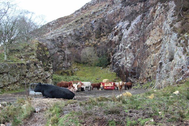
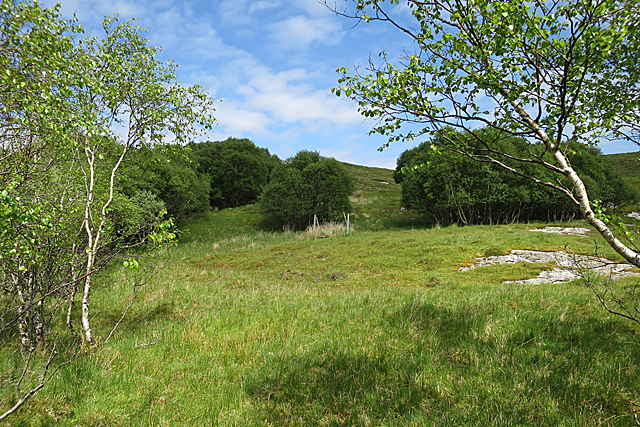
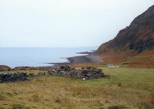
An t-Òrd is a small village located in the Scottish council area of Inverness-shire. It is situated on the northern coast of the Ardnamurchan Peninsula, overlooking the Sound of Mull. The village is known for its picturesque surroundings, with rolling hills, lush greenery, and stunning views of the sea.
An t-Òrd is a popular destination for outdoor enthusiasts, with plenty of opportunities for hiking, fishing, and wildlife watching. The village is also home to a number of historic sites, including the ruins of a medieval castle and a 19th century lighthouse.
In terms of amenities, An t-Òrd has a few small shops and cafes, as well as a pub where locals and visitors can relax and socialize. The village is also well-connected by road, making it easy to explore the surrounding area and visit nearby attractions such as the Ardnamurchan Distillery and the Ardnamurchan Natural History Visitor Centre.
Overall, An t-Òrd offers a peaceful and idyllic setting for those looking to escape the hustle and bustle of city life and immerse themselves in the beauty of the Scottish countryside.
If you have any feedback on the listing, please let us know in the comments section below.
An t-Òrd Images
Images are sourced within 2km of 57.147037/-5.9397075 or Grid Reference NG6113. Thanks to Geograph Open Source API. All images are credited.


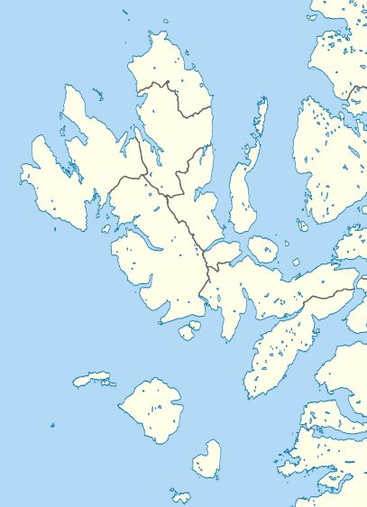
An t-Òrd is located at Grid Ref: NG6113 (Lat: 57.147037, Lng: -5.9397075)
Unitary Authority: Highland
Police Authority: Highlands and Islands
Also known as: Ord
What 3 Words
///pushover.crackling.fenced. Near Elgol, Highland
Nearby Locations
Related Wikis
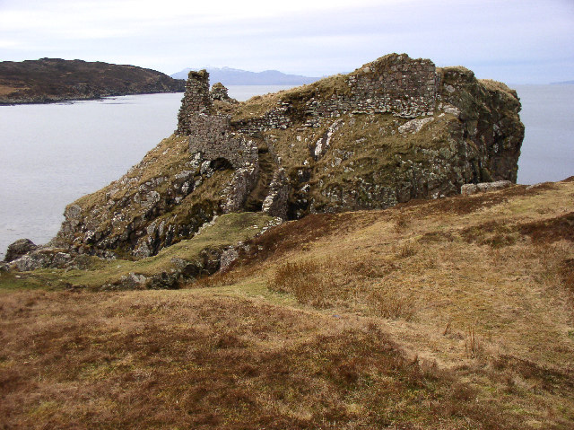
Dunscaith Castle
Dunscaith Castle also known as Dun Scaich, Dun Sgathaich Castle and Tokavaig, is a ruined castle on the coast of the Isle of Skye, in the north-west of...
Boreraig
Boreraig (Scottish Gaelic: Boraraig) is a deserted township in Strath Swordale (Srath Shuardail) on the north shore of Loch Eishort (Loch Eiseort) in the...
Sleat
Sleat is a peninsula and civil parish on the island of Skye in the Highland council area of Scotland, known as "the garden of Skye". It is the home of...

Tarskavaig
Tarskavaig (Tarsgabhaig in Scottish Gaelic) is a crofting village on the west coast of Sleat on the Isle of Skye in Scotland. It sits in a glen which meets...
Nearby Amenities
Located within 500m of 57.147037,-5.9397075Have you been to An t-Òrd?
Leave your review of An t-Òrd below (or comments, questions and feedback).